
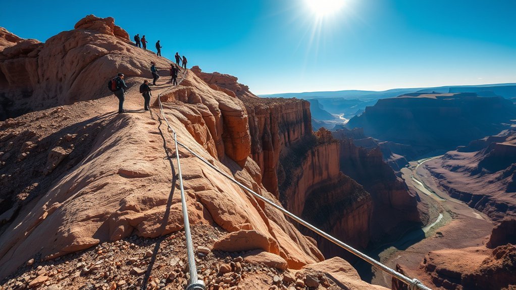
Last Updated on July 28, 2026 by Mason Reed
Angels Landing is a strenuous, high-exposure hike in Zion National Park. The final half-mile follows a narrow sandstone ridge with chains, uneven steps, two-way foot traffic, and sheer drop-offs. A permit reduces crowding, but it does not make the terrain safe. Before hiking, understand the reported death toll, the limits of those statistics, the permit rules, and the conditions that should make you turn around.
Quick Answer
At least 18 deaths have been reported at or near Angels Landing through April 2026, while some nonofficial timelines count 19. Most documented trail deaths involved falls, but medical emergencies also occur. The exact total varies because no single official NPS list defines which nearby, historical, or medical cases belong in the count.
Disclosure: As an Amazon Associate I earn from qualifying purchases. Some links on this page are affiliate links, at no extra cost to you.
How Dangerous Is Angels Landing?
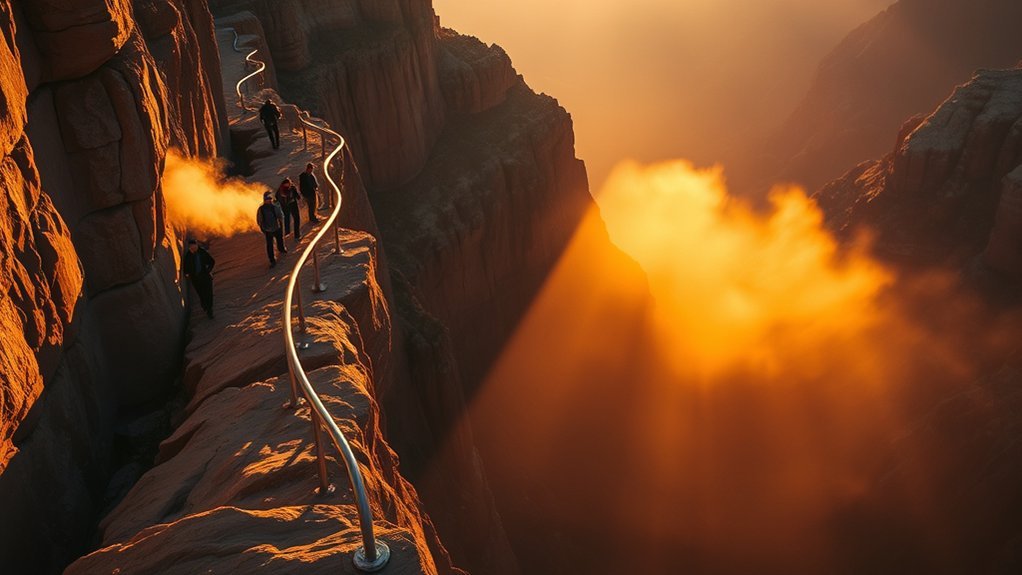
Angels Landing is dangerous because a small mistake can have severe consequences. The National Park Service describes parts of the route as less than 3 feet wide, with uneven rock steps, intermittent chains, two-way traffic, and drop-offs of as much as 1,000 feet on each side.
The route is not a technical climb, but it demands balance, steady footing, sound judgment, and comfort with heights. The full hike is 5.4 miles round trip, gains 1,488 feet, and usually takes about four hours. Heat, thunderstorms, wind, rain, snow, and ice can make it harder. Turning around at Scout Lookout is the correct decision when the exposure, weather, crowding, or your physical condition feels unsafe.
Key Takeaways
- The NPS does not publish a definitive cumulative Angels Landing death toll; a careful summary is at least 18 reported deaths through April 2026, with some nonofficial lists counting 19.
- The final half-mile beyond Scout Lookout is the highest-risk section because it is narrow, exposed, and shared by hikers moving in both directions.
- A permit is required at all times beyond Scout Lookout, but a permit does not guarantee safe weather, open trail access, or suitable conditions.
- Scout Lookout requires no Angels Landing permit and offers a safer turnaround before the chain-assisted ridge.
Raw death totals do not show your odds of dying on a single hike. A 2025 study noted that complete hiker-volume and exposure data were unavailable, so a reliable fatality rate could not be calculated.
How Many People Have Died on Angels Landing?
The most defensible answer is at least 18 reported deaths through April 2026, with some nonofficial timelines counting 19. A 2025 peer-reviewed case study said local and national media had reported at least 17 deaths by 2024. The NPS then confirmed that Gilberto Ramos, 68, died after a fall from the chained section on April 17, 2026.
The number is not exact because sources use different boundaries. Some count only falls from the summit ridge. Others include deaths on the approach near Scout Lookout, medical emergencies, cases found below the formation, or incidents whose cause remained uncertain. For that reason, avoid presenting one total as an official NPS count.
Confirmed Death Toll
Most documented fatalities were caused by falls from exposed terrain. Medical events have also occurred on the West Rim approach and near Scout Lookout. The 2025 study examined seven fatal incidents using NPS records: falling from height was the final cause in six cases, unsafe behavior contributed to five, pre-existing health conditions contributed to two, and physical or social conditions played a role in every case studied.
Note: “Angels Landing deaths” is not a standardized government statistic. When citing the number, use “at least 18 reported deaths through April 2026” and explain that some compiled lists count 19 because they include different nearby or ambiguous cases.
Why Fatalities Occur
Fatal incidents usually involve several factors rather than one simple cause. The ridge leaves little room to recover from a loss of balance. Going off trail, sitting near cliff edges, rushing, taking risky photos, wearing poor footwear, hiking while fatigued, or continuing in bad weather all reduce the margin for error.
Health also matters. Angels Landing requires sustained uphill effort before the exposed section begins. Anyone with a condition that limits strenuous exercise should follow medical advice and choose a less demanding route when appropriate. Even fit hikers should rest, eat, drink, and turn back if they feel dizzy, weak, confused, unsteady, or unusually short of breath.
What Makes the Chains Section So Risky?
The chain-assisted section starts beyond Scout Lookout and continues for about half a mile to the summit. Chains are installed only on parts of the route, so they are not a continuous handrail. In many places, the trail is wide enough for only one person, yet traffic moves both uphill and downhill.
Keep your hands free, stow trekking poles before the narrow section, hold the chain where it is available, and wait at wider spots before allowing another hiker to pass. Never step outside the established route to get around a line. Wind can affect balance, while rain, snow, and ice can make the rock treacherous.
Warning: Do not continue onto the chains during thunderstorms, rain, snow, or icy conditions. Turn around when strong gusts affect your balance, storm clouds build, the rock is wet, or the NPS closes the route. A permit does not override unsafe conditions.
Which Angels Landing Incidents Got the Most Attention?
Fatal falls receive the most coverage, but rescue reports and later investigations also show why cumulative totals are difficult to interpret. Public records vary in detail, and early incidents were not always reported in the same way as modern cases.
Notable Fatal Falls
An archived collection of NPS incident reports documents a May 1987 death after a hiker fell about 250 feet near Scout Lookout. In June 2004, a 14-year-old Boy Scout fell from near the summit; the NPS estimated the vertical drop at about 1,000 feet. A 2025 study based on NPS case files also examined the 2018 death of a 13-year-old who had become separated from her group and moved off trail onto a sandstone ledge.
In 2019, separate fatal incidents again focused attention on the exposed route. On April 17, 2026, the NPS reported that Gilberto Ramos of Laredo, Texas, fell from the chained section and was found on the north side of Angels Landing near Big Bend.
Another case changed the public record in June 2026. Prosecutors charged David Vander Meer with murder and insurance fraud in the 2006 death of his wife, Bernadette Vander Meer, whose fall had originally been treated as accidental. Vander Meer died in custody before the case could be adjudicated, so the allegations did not result in a verdict. This is another reason to describe historical totals cautiously.
High-Profile Rescue Cases
Rescues show that a nonfatal fall can still require an overnight, technical operation. In September 2013, an off-route hiker slid 20 to 30 feet to a ledge and suffered head, back, and knee injuries. Medics rappelled to him, stayed overnight, and used a helicopter short-haul the next morning. The same incident archive describes helicopter evacuations for head injuries, fractures, chest pain, and hikers unable to descend the narrow route.
These cases are a reminder not to depend on a quick rescue. Cell service is unreliable, helicopters cannot always fly, and darkness or weather can delay evacuation. Carry a headlamp, food, water, layers, and a downloaded copy of your permit.
Media-Worthy Recent Incidents
The April 2026 fatal fall was reported at about 2 p.m. Rangers and local law enforcement located the victim that evening, and recovery operations ended the same day. The West Rim Trail temporarily closed during the response. A separate closure from April 20 through April 23 was pre-scheduled maintenance and was not caused by the incident.
Current conditions can change after any article is published. Check the official Zion conditions and alerts page before leaving for the park and again on the morning of the hike.
How the Permit System Changed the Hike
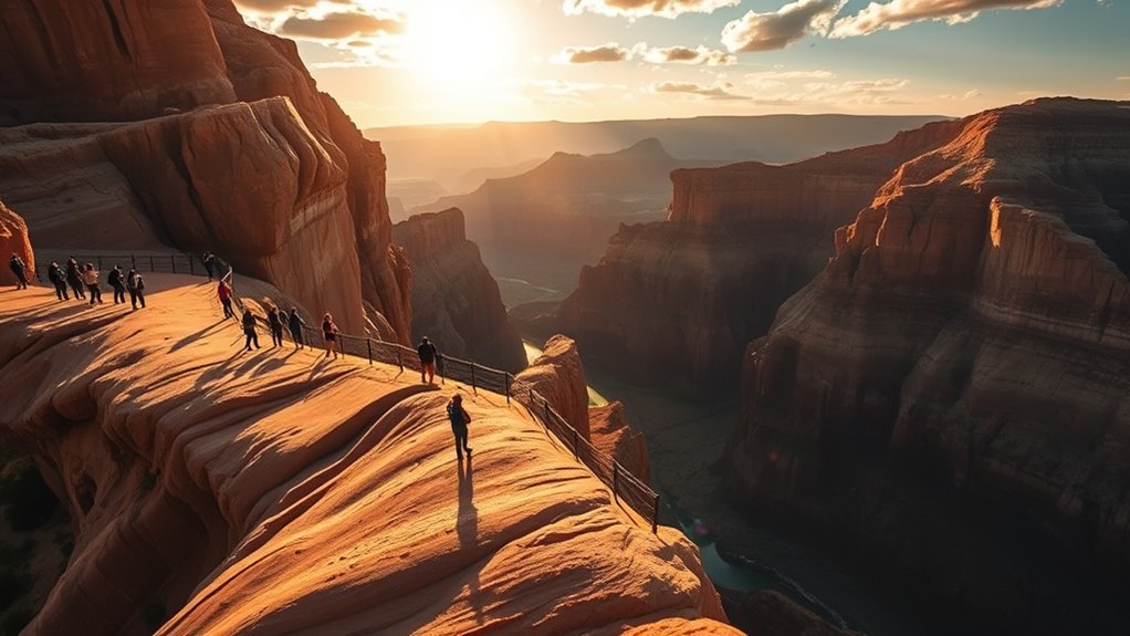
Since April 1, 2022, everyone continuing from Scout Lookout onto Angels Landing has needed a permit. The NPS says the pilot program reduces congestion, improves trail conditions, and enhances hiker safety. In 2026, the park reported issuing more than 200,000 Angels Landing permits each year.
Permits are distributed through a Seasonal Lottery and a Day-before Lottery. The application fee is $6 for a group of up to six people. If selected, the applicant is charged an additional $3 per person. Park admission is separate.
Carry a paper copy, downloaded email, or saved screenshot of the permit because mobile data service is poor. The named permit holder or alternate must be present with photo identification. Permits are not sold in the park, are not available day-of, and do not guarantee parking, trail access, good weather, or safe conditions.
The permit period has coincided with less congestion and a gap in publicly reported fatal falls from the chain section before April 2026. That timing does not prove that permits alone caused the change. Fatal events are rare, case definitions vary, and researchers do not have complete exposure data needed to calculate before-and-after risk rates.
Pro Tip: Use all available ranked choices in the Seasonal Lottery. If you are not selected, enter the Day-before Lottery for the same trip. Do not submit duplicate applications within one lottery; Recreation.gov warns that duplicate entries may be canceled.
What Makes Angels Landing Safe or Unsafe?
No single factor makes Angels Landing safe. Risk is lower when the trail is dry, visibility is good, winds are light, hikers are spaced out, and you are rested, hydrated, properly equipped, and comfortable with exposure. Risk rises with wet or icy rock, thunderstorms, heat, fatigue, poor footwear, rushing, off-trail movement, risky photos, and pressure to continue.
Scout Lookout is the best decision point. You do not need an Angels Landing permit to hike there. If the approach already feels exhausting or the view from the saddle triggers vertigo, do not enter the chains section.
Who Should Skip the Chains Section?
Skip the final section if you have a severe fear of heights, cannot maintain balance on uneven rock, cannot safely manage a strenuous climb and descent, or cannot follow directions in tight two-way traffic. There is no published minimum age, but the route is a poor choice for a child who cannot stay focused, remain close to an adult, and understand the consequences of leaving the trail. Pets are not allowed.
How to Hike Angels Landing More Safely
- Check official conditions. Review the NPS alert page, weather forecast, shuttle schedule, and your permit time before leaving.
- Choose an early permit window when possible. Morning hiking may reduce heat and afternoon thunderstorm exposure, but you must follow the time on your permit.
- Wear broken-in footwear. Use hiking shoes or boots with reliable traction and ankle support.
- Carry enough water and food. Recreation.gov recommends 2 to 4 liters of water per person, depending on the forecast. Potable water is available at the Grotto, not along the trail.
- Keep both hands available. Stow poles and loose gear before the chain section. Hold the chain when available and move one deliberate step at a time.
- Yield at wider places. Communicate with oncoming hikers and never pass by stepping toward the cliff edge or outside the route.
- Stay back from edges. Do not sit with your legs over a cliff, jump between rocks, leave the trail, or take risky photos.
- Turn around early. Do not let a permit, summit goal, group pressure, or travel schedule push you into conditions you do not trust.
What to Bring for Angels Landing
- Downloaded or printed permit and the permit holder’s photo ID
- 2 to 4 liters of water per person, adjusted for heat and conditions
- Food and salty snacks for a half-day outing
- Broken-in hiking shoes or boots with strong traction
- Sun protection, layers, and rain protection appropriate for the forecast
- Headlamp or flashlight with fresh batteries
- Park map saved offline and a fully charged phone
- Winter traction devices when snow or ice is possible; do not use them as a reason to continue when the exposed ridge is unsafe
Getting to Angels Landing and What to Know Before You Go
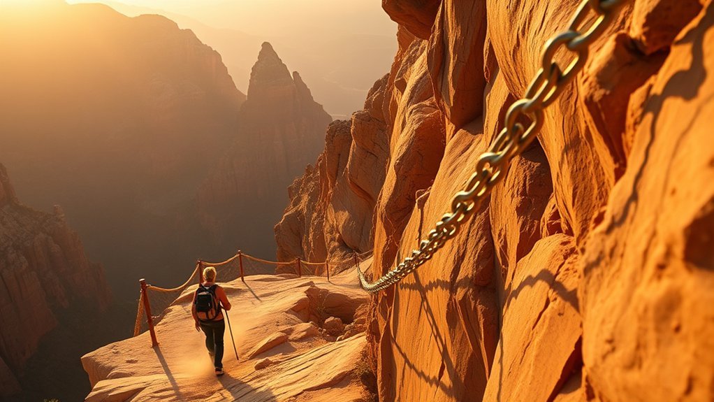
Angels Landing is reached from the Grotto, Shuttle Stop 6, in Zion Canyon. During most of the year, private vehicles cannot use Zion Canyon Scenic Drive, so hikers ride the free park shuttle. When shuttles are not operating, limited parking may be available near the trailhead. Always check the current schedule because service dates and last-shuttle times change.
At a Glance
| Distance | 5.4 miles (8.7 km) round trip |
| Elevation Gain | 1,488 feet (454 m) |
| Typical Time | About 4 hours; allow longer for rests, traffic, and conditions |
| Difficulty | Strenuous, with severe exposure beyond Scout Lookout |
| Permit | Required at all times from Scout Lookout to the summit; not required to reach Scout Lookout |
| Permit Cost | $6 application fee plus $3 per person if selected; park admission is separate |
| Trail Access | The Grotto, Shuttle Stop 6; shuttle access is typical during most of the year |
| Water and Restrooms | Fill water at the Grotto; no potable water on the trail. Restrooms are at the Grotto and Scout Lookout. |
Park at the Zion Canyon Visitor Center or in Springdale and allow enough time for parking, walking, shuttle lines, and the ride to the Grotto. Do not wait for the final shuttle after your hike; a full or missed last bus can leave you with a long walk back to the visitor center.
Frequently Asked Questions
How many people have died on the Angels Landing hike?
At least 18 deaths have been reported at or near Angels Landing through April 2026, while some nonofficial timelines count 19. The NPS does not publish one definitive cumulative list, so totals vary depending on whether nearby medical, historical, or ambiguous cases are included.
What is the most common cause of death on Angels Landing?
Falls from exposed terrain are the most common cause in documented cases. Medical emergencies have also occurred on the strenuous approach and near Scout Lookout.
How safe is Angels Landing overall?
It is not a low-risk hike. The final half-mile has narrow footing, two-way traffic, intermittent chains, and drop-offs of as much as 1,000 feet. Dry conditions, good footwear, careful movement, and an early turnaround reduce risk but cannot remove it.
Do I need a permit to hike Angels Landing?
Yes. A permit is required every day and at all times for the section from Scout Lookout to the summit. You do not need an Angels Landing permit to hike the West Rim Trail to Scout Lookout.
Can beginners hike Angels Landing?
Some fit beginners complete it, but experience alone is not the deciding factor. You need balance, stamina, good judgment, proper footwear, and comfort with severe exposure. Scout Lookout is a sensible endpoint for anyone who feels unsure.
When should I turn around?
Turn around if the rock is wet or icy, thunder or strong wind develops, the trail is closed, you feel unsteady or unwell, or the exposure is beyond your comfort level. A permit is not a reason to continue.
Has anyone fallen off McAfee Knob?
Yes. McAfee Knob in Virginia has had fatal falls, including a 2022 incident in which a hiker fell about 50 feet near the summit. The lesson is similar: stay well back from unguarded edges and do not take risky photos.
Sources
- Zion National Park — Angels Landing Permits and Hiking — official distance, elevation gain, preparation, water, footwear, weather, access, and permit guidance
- Recreation.gov — Angels Landing Permits — current lottery rules, group size, fees, identification, cancellation, and safety notices
- National Park Service — Angels Landing Trail — trail width, exposure, chain section, difficulty, and Grotto access
- Zion National Park — April 2026 Visitor Fatality — official details of the April 17, 2026 fall and response
- Zion National Park — Current Conditions — live alerts, trail closures, weather hazards, and shuttle status
- Heggie, Hawkes, and Küpper (2025) — Hiking Fatalities on Angels Landing Trail — peer-reviewed case analysis of fatality factors and limits of available risk data
Conclusion
Angels Landing is memorable because the route is exposed, not because it is safe. The permit system has reduced congestion and improved trail conditions, but it cannot control weather, footing, health, or individual choices. Use at least 18 reported deaths through April 2026 as a cautious public total, not an official risk rate. Check current NPS conditions, carry the right gear, stay on the route, and turn back whenever the ridge no longer feels manageable.
