
Last Updated on July 28, 2026 by Daniel Globe
Cairns are human-made arrangements of stones that hikers may encounter along marked routes, on rocky ridges, across lava fields, and in other places where a normal footpath can be difficult to see. Some are official trail markers maintained by land managers. Others are historical features, memorials, cultural sites, or simply unauthorized rock stacks, so their meaning should never be assumed from appearance alone.
Quick Answer
A cairn in hiking is a human-made pile or arrangement of stones that may mark a trail where the route is difficult to see. Some cairns are official and maintained; others are not. Use them only as one navigation clue, and confirm your route with official trail information, a map, compass, or GPS.
A legitimate trail cairn can reassure you that you are following the intended route, but the key word is legitimate. The National Park Service notes that some parks actively maintain cairns while others do not use them as trail markers at all. Knowing the local system before you start hiking is more reliable than judging a pile of rocks by how neat or old it looks.
Disclosure: As an Amazon Associate I earn from qualifying purchases. Some links on this page are affiliate links, at no extra cost to you.
Cairn Basics at a Glance
Key Takeaways
- Cairns are arrangements of stones that may be used as route markers where a normal trail is difficult to see.
- Not every cairn is official. Check the trail map, park website, signs, or ranger guidance before relying on them.
- Official cairns are especially useful on bare rock, lava, alpine terrain, and other exposed landscapes with little visible tread.
- Do not assume a generic cairn points in a particular direction. Follow the confirmed route and the sequence of official markers.
- Use cairns together with a map, compass, GPS, recognizable terrain, and official trail information.
- Do not build, add to, dismantle, or repair cairns unless you are authorized to maintain that trail.
- Unauthorized rock stacks can mislead hikers and moving stones can contribute to erosion or disturb small habitats.
- Fog, snow, darkness, and heavy rain can make cairns harder to locate, so hikers need a backup navigation method.
- Cairns can also be historical, archaeological, memorial, or culturally meaningful features unrelated to modern trail navigation.
- When markers disappear or conflict with your map, stop and reorient instead of continuing on a guess.
The Purpose of Cairns in Navigating Trails
Cairns are most useful where a trail cannot be marked by a clear dirt path, wooden sign, or painted blaze. They are common on exposed rock, alpine routes, desert slickrock, and lava landscapes where hikers may otherwise have difficulty seeing where the route continues.
For example, the National Park Service guidance for El Malpais National Monument explains that some routes across lava are traced primarily by a sequence of cairns. Arches and Canyonlands national parks also use cairns on routes that cross broad rock surfaces.
A cairn should still be treated as a route marker rather than a guarantee. It does not prove that the route is currently open, that weather conditions are safe, or that the terrain ahead is suitable for your experience level.
Are All Cairns Official Trail Markers?
No. This is one of the most important things hikers should understand about cairns.
The National Park Service guidance on rock cairns explains that practices differ from park to park. Some parks, including Acadia, El Malpais, and Hawaiʻi Volcanoes, maintain cairns as part of their trail systems. Other parks do not maintain rock cairns and warn hikers not to assume that a stone pile marks an official route.
Note: A random rock stack can look just as deliberate as an official cairn. Shape, height, age, and neatness are not enough to prove that a marker belongs to the trail.
Different Types of Cairns and Their Meanings
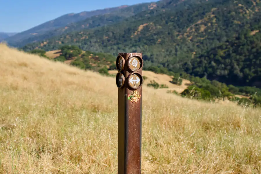
The word cairn covers more than one type of stone feature. For hikers, the most relevant type is an authorized trail cairn placed or maintained as a route marker. These can range from simple stone piles to standardized designs used by a particular park or trail system.
Acadia National Park, for example, uses distinctive Bates cairns on some east-side trails. These were developed from a trail-marking style associated with Waldron Bates and have since become part of the park’s trail history. Current Acadia guidance also tells visitors not to make or modify the cairns.
Cairns can have much older meanings as well. Historic Environment Scotland documents prehistoric burial cairns thousands of years old, including the approximately 4,000-year-old Clava Cairns. Other stone features may have a specific memorial, community, or cultural meaning. A hiker should therefore avoid deciding that an unfamiliar stone feature is merely a trail marker or recreational rock stack.
Similar stone waymarks appear in many parts of the world, but their design, local name, purpose, and rules differ. The safest approach is to learn how the specific land manager marks the route you are hiking.
Cairn vs. Decorative Rock Stack
An official hiking cairn has a route-finding purpose. A recreational rock stack is usually made by a visitor for decoration, photography, or personal expression. The problem is that the two can look similar.
That similarity is why adding your own pile of rocks near a trail can create a genuine navigation hazard. A later hiker may reasonably assume that it marks a turn or continuation of the route.
You also should not dismantle a suspicious-looking cairn yourself. It may be an official marker, historic feature, or culturally important site. Leave it alone and report a potentially misleading marker to a ranger, trail crew, or land manager when practical.
How to Use Cairns for Navigation
| Technique | What to Do |
|---|---|
| Verify the local system | Check the official trail map, park website, trailhead signs, or ranger guidance to confirm whether cairns are used on that route. |
| Follow the sequence | On an officially cairned route, identify the next marker before leaving the current one whenever visibility allows. |
| Cross-check your position | Compare the cairn sequence with your map, GPS position, compass bearing, trail junctions, and major terrain features. |
| Do not measure distance by cairns | Spacing can vary greatly, so the number of cairns passed does not tell you how far you have traveled. |
| Stop if the pattern breaks | If the markers disappear or conflict with your route information, stop and reorient instead of choosing a direction by guesswork. |
On a known cairned route, use each official marker as one confirmation point rather than your entire navigation system. Note recognizable landmarks behind and ahead of you, especially at junctions, open rock slabs, and places where the route changes direction.
Do not assume that every cairn is shaped like an arrow. Some specialized designs can communicate direction, but an ordinary pile of stones has no universal directional code. Your route map and the sequence of confirmed markers matter more than the apparent orientation of individual rocks.
Pro Tip: On an officially cairned route, look for the next confirmed cairn before moving away from the current one. El Malpais National Monument specifically recommends keeping the next cairn in sight while following its cairned lava routes.
Understanding the Placement of Cairns
Official cairns may appear where the route crosses bare rock, reaches a junction, changes direction, or passes through terrain where ordinary trail tread is difficult to maintain. On some routes, a series of cairns continues across long stretches of exposed terrain rather than appearing only at turns.
Placement therefore varies by landscape and trail system. In rocky country, cairns can be more useful because foot traffic leaves little visible path. On a forest trail with clear tread and signs, a land manager may have little reason to use them at all.
Weather also changes how useful they are. Fog, blowing snow, rain, darkness, and low cloud can reduce visibility enough that the next cairn becomes difficult or impossible to see. Leave No Trace notes that authorized cairns can be particularly useful in low visibility and on exposed winter routes, but hikers still need independent navigation skills.
How to Tell an Official Cairn From a Random Rock Stack
There is no universal visual test. Instead, look for several pieces of evidence working together:
- Official trail information: Does the park, forest, or trail guide say the route is marked by cairns?
- Consistent placement: Do the markers form a logical sequence along the mapped route?
- Standardized design: Does the land manager use a recognizable cairn style, such as the Bates cairns found on some Acadia trails?
- Supporting markers: Do signs, blazes, junction posts, or mapped trail features agree with the cairn sequence?
- Your navigation tools: Does your map, compass bearing, or GPS track confirm that you are still on the intended route?
Even several of these clues do not eliminate the need to watch for closures, weather hazards, or changing trail conditions.
Importance of Maintaining Cairns
Official cairns only work properly when visitors leave them alone. Wind, rain, freeze-thaw cycles, snow, wildlife, and human disturbance can damage a marker, but hikers should not rebuild or improve it themselves unless they are authorized to maintain the route.
A collapsed cairn can be reported to the responsible park, forest, trail organization, or land-management office. Until it is repaired, use your other navigation tools to confirm the route.
This rule also applies in the opposite direction: do not knock down a cairn simply because you suspect it is unofficial. You may be looking at an authorized marker, an archaeological feature, or something with local historical or cultural significance.
Common Mistakes When Using Cairns for Navigation
The biggest mistake is following a stone pile simply because it looks intentional. Unauthorized stacks can send hikers away from the maintained route, while legitimate cairns can be misunderstood when viewed from the wrong approach.
Another mistake is allowing a cairn to overrule stronger evidence. If your official map, GPS track, junction signage, and terrain all indicate that the route goes one way while a lone rock stack seems to suggest another, stop and investigate the conflict rather than automatically following the stones.
Hikers also get into trouble when changing weather removes their visual reference points. A route that feels obvious in sunshine can become confusing in fog, darkness, snow, or a sudden storm.
Warning: If you lose the trail or cannot locate the next confirmed marker, stop before moving farther into uncertain terrain. Check your map, GPS position, compass, and visible landmarks. Backtrack toward your last confirmed location only when you know the route back and it is safe to travel.
What to Do When Cairns Disappear or Conflict With Your Map
- Stop moving forward. Continuing while uncertain usually makes your position harder to reconstruct.
- Check your last confirmed location. Identify the last junction, sign, cairn, landmark, or GPS point you know was correct.
- Compare multiple navigation clues. Use the map, compass, GPS, trail description, terrain, and any official markers you can see.
- Look behind you as well as ahead. Trails and cairns can appear very different when viewed from the opposite direction.
- Backtrack only if it is safe and the route is known. Do not descend cliffs, cross dangerous water, or enter worsening terrain simply to reach an earlier point.
- Seek help when necessary. If you cannot confidently determine a safe route, use your emergency communication plan rather than wandering farther.
Using Cairns in Challenging Terrain
Cairns become especially useful in challenging hiking terrain where a dirt path cannot develop clearly. Bare granite, sandstone slabs, alpine ridges, talus, and lava can all make ordinary trail tread difficult to recognize.
On these routes, cairns can help confirm that you are still following the intended line, but they do not certify that the terrain itself is safe. Snow, ice, extreme heat, flash-flood risk, rockfall, exposure, and route closures still require separate judgment.
Winter adds another problem: smaller markers can be partly or fully buried, and natural rocks may resemble a cairn when coated with snow or frost. Treat visible cairns as confirmation rather than your only navigation method.
For readers researching other ways to travel through rough outdoor terrain, the site also has a guide to dirt electric bikes.
Safety Precautions When Relying on Cairns
Carry more than one way to navigate. The National Park Service includes a map, compass, and GPS among recommended navigation tools, while current Acadia guidance advises hikers to bring a topographic map and compass.
Download digital maps before entering areas with limited service, and know how to use the map and compass you carry. A phone with an offline map can be valuable, but batteries fail, electronics can be damaged, and GPS position alone does not tell you whether the terrain between you and the route is safe to cross.
Check the managing agency’s trail page before departure for closures, route changes, seasonal hazards, and information about how that particular trail is marked.
Environmental Impact of Cairn Building
Building unnecessary cairns can have consequences beyond navigation. Moving rocks can expose soil, contribute to erosion, disturb fragile vegetation, and alter small habitats beneath or around stones.
Leave No Trace guidance on cairns advises visitors to leave official cairns undisturbed and avoid constructing unnecessary ones. Its broader Leave What You Find guidance also warns that moving rocks can alter habitat and create navigation problems for later visitors.
The simplest rule is also the safest: leave stones where you find them unless you are part of an authorized trail-maintenance effort.
Alternatives to Cairns for Navigation in Hiking
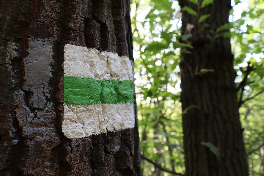
Cairns are only one form of trail marking. Depending on the location, hikers may also encounter painted blazes, signs, posts, trail diamonds, stakes, or other land-manager-approved markers.
Maps remain essential because they show the route in relation to terrain rather than merely indicating one point on the ground. The U.S. Geological Survey’s topographic maps use contour lines to show elevation and terrain shape, which can help hikers compare the landscape around them with their mapped position.
GPS receivers and smartphone mapping apps add precise location information and can work offline when maps are downloaded in advance. A compass provides a battery-free way to establish direction when used with a suitable map.
In short, cairns are valuable route markers where trails are difficult to see, but they have real limitations. Learn whether the trail officially uses them, follow confirmed markers as a sequence, cross-check your location with independent navigation tools, and never build or alter stone piles on your own.
If you’re planning other outdoor trips, you may also be interested in the site’s guides to cheap electric bikes and the best travel fishing pole.
Frequently Asked Questions
What is a cairn in hiking?
A hiking cairn is a human-made pile or arrangement of stones that may be used as a trail marker, especially where bare rock or other terrain makes the path difficult to see. Not every cairn is official, so hikers should confirm the local trail-marking system before relying on one.
What is the purpose of a cairn in hiking?
Official trail cairns help hikers follow routes where ordinary trail tread, signs, or painted blazes may be difficult to use. They are especially common on exposed rock, lava, and alpine or desert routes.
How are cairns built?
Authorized trail cairns are built and maintained according to the standards used by the responsible park, trail organization, or land manager. Visitors generally should not build, repair, enlarge, or modify them on their own.
Are there any guidelines for building cairns?
For ordinary hikers, the safest guideline is not to build new cairns unless the land manager specifically authorizes the work. Do not add stones to, remove stones from, or rebuild an existing cairn unless you are responsible for maintaining that trail.
Are there any potential issues with cairns in hiking?
Yes. Unauthorized cairns can create false routes and confuse hikers. Moving rocks can also expose soil, contribute to erosion, disturb vegetation or small habitats, and alter historical or culturally important stone features.
How should hikers use cairns?
First confirm that the trail officially uses cairns. Then follow the confirmed sequence while comparing it with your map, compass, GPS, trail signs, and surrounding terrain. If the sequence disappears or conflicts with your other navigation information, stop and reorient.
Are all cairns official trail markers?
No. Some parks maintain cairns as official trail markers, while other locations do not use them for navigation. Visitors also build unauthorized rock stacks. Check official trail information before assuming a cairn marks the route.
Do cairns point in the direction of the trail?
Not necessarily. Some standardized cairn designs may indicate direction, but a generic pile of stones has no universal directional meaning. Follow the mapped route and confirmed sequence of official markers instead of treating every cairn like an arrow.
Should you knock down a cairn that looks unofficial?
No. Leave it undisturbed. A stone feature that looks unofficial could still be an authorized marker, archaeological feature, memorial, or culturally important site. Report a potentially misleading cairn to the responsible land manager instead.
Sources
- National Park Service — Rock Cairns — official guidance on which parks use cairns and why visitors should not build, add to, or disturb them.
- National Park Service — El Malpais Safety and Cairned Routes — navigation guidance for following official cairns across lava terrain.
- National Park Service — Acadia Hiking Guidance — current use of Bates cairns plus trail-map and compass safety guidance.
- Leave No Trace — Leave No Trace and Cairns — cairn etiquette, low-visibility use, and environmental considerations.
- U.S. Geological Survey — Topographic Maps — authoritative information on topographic maps for terrain and outdoor navigation.
- Historic Environment Scotland — Clava Cairns — archaeological evidence showing that cairns can be ancient burial and cultural monuments rather than trail markers.

