
Last Updated on July 23, 2026 by Ethan Caldwell
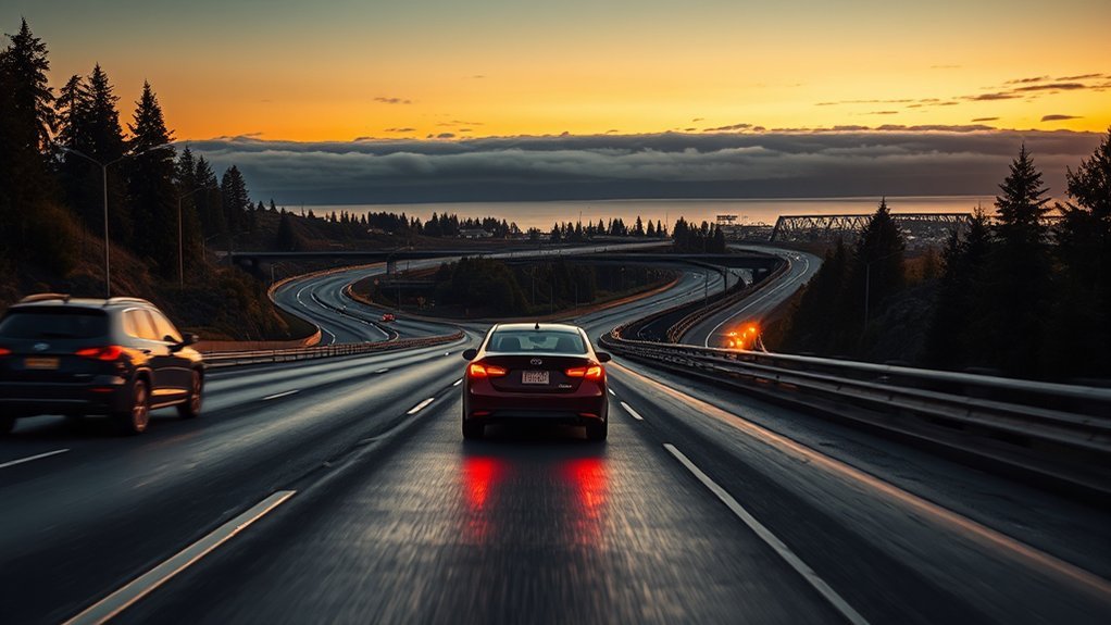
Traveling from Seattle-Tacoma International Airport (SEA) to Port Angeles is straightforward once you know the correct roads. The most predictable option is usually the all-driving route through Tacoma, Gig Harbor, the Kitsap Peninsula, and the Hood Canal Bridge. Ferries can add beautiful Puget Sound views, but terminal traffic and sailing waits make their total travel time less predictable.
Quick Answer
The most predictable route from SEA to Port Angeles is I-5 south to WA-16 west, WA-3 north, WA-104 west across the Hood Canal Bridge, and US-101 west. The trip is about 125 to 130 miles and usually needs 2.5 to 3 hours before stops, with extra time for traffic, bridge openings, weather, or road work.
Key Takeaways
- The complete driving route is I-5 south, WA-16 west, WA-3 north, WA-104 west, and US-101 west.
- Allow about 2.5 to 3 hours of driving in ordinary conditions, plus time for baggage, a rental car, food, traffic, and stops.
- The Tacoma Narrows Bridge is not tolled westbound toward Port Angeles, but the eastbound return toward Tacoma is tolled.
- The Hood Canal Bridge can open for marine traffic or close during severe wind, so check its status before leaving.
- Port Townsend is a worthwhile detour, not a stop directly on the fastest route.
- The Dungeness Line provides a direct bus option between SEA Airport and Port Angeles for travelers who do not want to drive.
At a Glance
| Time Required | About 2.5 to 3 hours of driving before stops; allow more during commuter traffic, bridge delays, bad weather, or road work |
| Difficulty | Easy to moderate; mostly highways, with congestion and two-lane stretches near the Peninsula |
| Tools Needed | Navigation app, offline map, phone charger, WSDOT travel information, and current weather forecast |
| Cost | Fuel and any rental-car costs. The westbound Tacoma Narrows crossing is not tolled; the eastbound return is tolled. Ferry fares apply if you choose a ferry route. |
Disclosure: As an Amazon Associate I earn from qualifying purchases. Some links on this page are affiliate links, at no extra cost to you.
SEA to Port Angeles: Best Driving Route
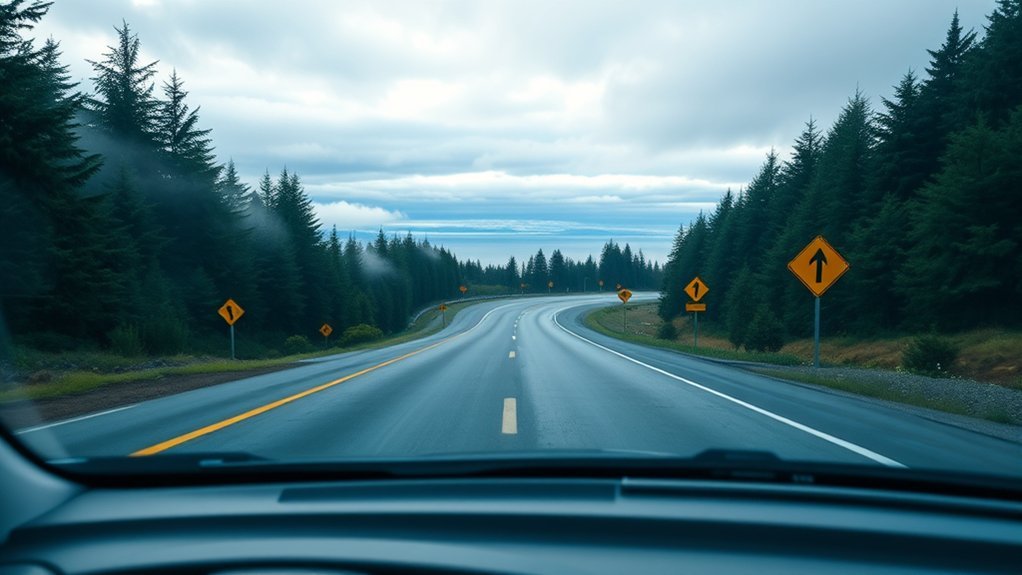
The best all-driving route from Seattle-Tacoma International Airport to Port Angeles normally follows these roads:
- Leave SEA and join I-5 south toward Tacoma.
- Near Tacoma, take WA-16 west toward Gig Harbor and Bremerton.
- Cross the Tacoma Narrows Bridge and remain on WA-16.
- Continue onto WA-3 north toward Bremerton, Silverdale, and Poulsbo.
- Turn onto WA-104 west and cross the Hood Canal Bridge.
- Join US-101 west near Discovery Bay and follow it through Sequim to Port Angeles.
This is the route described by the official Visit Port Angeles transportation guide. The direct route does not pass through downtown Seattle or Olympia. It crosses the Tacoma Narrows Bridge, continues north through the Kitsap Peninsula, and reaches US-101 after the Hood Canal Bridge.
Note: The Tacoma Narrows Bridge collects tolls only from vehicles traveling east toward Tacoma. Your westbound trip from SEA toward Port Angeles is not tolled. Check the current WSDOT toll information before the return trip, especially when using a rental car.
Warning: Do not stop on the Tacoma Narrows Bridge, Hood Canal Bridge, or highway shoulder to take photographs. Use a legal parking area or designated waterfront viewpoint, and never check traffic information while driving.
How Long the Drive From SEA Takes
The National Park Service travel chart estimates approximately 130 miles and three hours from SEA Airport to Port Angeles via Tacoma. Live navigation may show a trip closer to 2.5 hours when roads are clear, but three hours is a safer planning estimate.
Travel time can increase because of:
- I-5 congestion between the airport, Fife, and Tacoma
- Slow traffic near the WA-16 and WA-3 interchanges
- Crashes or construction
- Marine openings or maintenance at the Hood Canal Bridge
- Rain, fog, wind, or winter road conditions
- Food, fuel, restroom, and sightseeing stops
If your flight is just landing, do not treat the driving estimate as your arrival time. Baggage claim, walking to ground transportation, rental-car pickup, vehicle inspection, and loading luggage can add significant time before you leave the airport.
Plan for about three hours behind the wheel, then add a separate buffer for the airport, meals, traffic, and any stops you want to enjoy.
Ferry vs. Driving: Which Is Better?
Driving around through Tacoma is usually the most predictable choice from SEA because the airport is already south of downtown Seattle. A ferry can be more scenic, but reaching the terminal may require driving north into additional traffic and waiting for available vehicle space.
The two most practical ferry choices are:
- Seattle to Bainbridge Island: Drive north from SEA to the downtown Seattle ferry terminal, sail to Bainbridge Island, and continue on WA-305, WA-3, WA-104, and US-101.
- Edmonds to Kingston: Drive north past Seattle to Edmonds, sail to Kingston, and continue on WA-104 and US-101.
Vehicle reservations are not offered on the Seattle/Bainbridge or Edmonds/Kingston routes. Vehicles are loaded according to terminal procedures and available space. Check Washington State Ferries schedules, alerts, and terminal status before committing to a ferry.
Ferry Scenic Appeal
A ferry ride offers open views of Puget Sound, the Seattle skyline, islands, and distant mountains. It can be an enjoyable choice when the sailing schedule fits your arrival and terminal lines are short.
However, the crossing time is only one part of the trip. You must also include the drive from SEA to the terminal, vehicle check-in, boarding time, possible missed sailings, unloading, and the remaining drive to Port Angeles.
Driving Convenience
The Tacoma route lets you start driving as soon as you have your vehicle. You do not need to coordinate with a sailing schedule, and you can stop in Gig Harbor, Port Gamble, Sequim, or another community along the way.
Driving is also useful when you plan to explore Olympic National Park. The park covers a large area, and its major destinations are connected by US-101 and separate access roads rather than one road through the center.
Traffic and Timing
Neither option is always fastest. The better choice depends on current I-5 traffic, ferry waits, sailing disruptions, weather, and the time you leave the airport.
Pro Tip: After collecting your rental car, compare the all-driving ETA with the ferry terminal’s live boarding status. Choose the ferry only when its complete trip time, including the terminal wait, clearly fits your schedule.
Best Stops Between Seattle Airport and Port Angeles
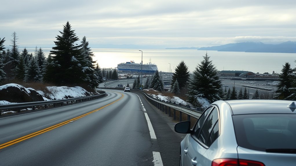
You can complete the drive without a long stop, but several towns make convenient places to eat, walk, or use a restroom.
- Gig Harbor: An easy early break after crossing the Tacoma Narrows Bridge. The waterfront has restaurants, cafés, and legal places to enjoy harbor views.
- Port Gamble: A small historic community near the WA-104 corridor with preserved buildings, food, and waterfront scenery.
- Sequim: A practical final stop for fuel, groceries, and meals before the last stretch to Port Angeles.
- Olympic National Park Visitor Center: Located in Port Angeles, this is the main place for current park information, maps, permits, and ranger advice. Check current visitor-center hours before going.
Port Townsend is an optional detour. Its Victorian buildings, waterfront, shops, and restaurants can make the extra driving worthwhile, but it is not directly on the fastest SEA-to-Port Angeles route. Leave additional time to drive north toward Port Townsend and return to the US-101 corridor.
Lake Crescent is a post-arrival extension. The National Park Service places it about 18 miles west of Port Angeles, with an approximate driving time of 30 minutes. It is a good choice for a longer break, lakeside scenery, or the Marymere Falls area after you have reached Port Angeles.
The Hoh Rain Forest is much farther west. The NPS estimates approximately one hour from Forks and more than two hours from Port Angeles, so it should be treated as a separate park destination rather than a stop on the airport transfer.
When to Leave SEA to Avoid Traffic
Your flight schedule may determine when you leave, but the best general strategy is to travel between commuter peaks when possible. Morning and afternoon traffic can slow I-5 near the airport, Fife, and Tacoma, while incidents can create delays at any time.
- Check the WSDOT real-time travel page after collecting your vehicle.
- Avoid making an important reservation based on the minimum navigation estimate.
- Allow a larger buffer on Friday afternoons, summer weekends, holiday periods, and major event days.
- Expect traffic to become less urban after Gig Harbor, although backups can still occur near Bremerton, Gorst, the Hood Canal Bridge, and Sequim.
The direct Tacoma route does not take you through downtown Seattle. Downtown traffic matters mainly when you choose the Seattle/Bainbridge ferry.
Weather and Road Conditions to Check
Conditions can differ between SeaTac, Tacoma, the Hood Canal, Sequim, and Port Angeles. Check both the forecast and the road network before leaving.
Useful official resources include:
- WSDOT real-time traffic, alerts, cameras, and road conditions
- Hood Canal Bridge status and operating information
- National Weather Service Seattle forecast office
- Olympic National Park current conditions
The Hood Canal Bridge is a floating drawbridge. WSDOT explains that marine openings may take roughly 10 to 45 minutes, depending on the vessel and operating conditions. Strong sustained winds, mechanical problems, construction, or maintenance can also affect the crossing.
Warning: A Hood Canal Bridge closure creates a major disruption. Do not assume that a short nearby detour exists. Check the bridge status before leaving SEA and again before committing to WA-104.
Best Overnight Stops on the Peninsula
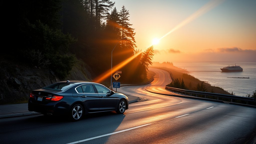
The SEA-to-Port Angeles drive is short enough to complete in one day, but an overnight location can serve as a useful base for the next stage of your Olympic Peninsula trip.
- Port Angeles: The strongest base for Hurricane Ridge, the main park visitor center, the Elwha area, and the northern side of Olympic National Park.
- Sequim: A quieter choice east of Port Angeles with restaurants, lodging, and access to the Dungeness area.
- Port Townsend: Best for travelers who want historic streets and waterfront character and do not mind leaving the direct route.
- Lake Crescent: A scenic choice west of Port Angeles for travelers focused on hiking, paddling, and a quieter natural setting. Lodging and services can be seasonal.
- Forks: Better for the Hoh Rain Forest, Rialto Beach, and the western coast. Forks is beyond Port Angeles, not between SEA and Port Angeles.
Reserve early for summer weekends. Confirm check-in hours if your flight arrives late, particularly at smaller inns or seasonal park lodges.
Tacoma Route and Olympia Alternative
The Tacoma Narrows route and Olympia route are separate choices. You should not cross the Tacoma Narrows Bridge and then follow WA-3 toward Olympia.
Tacoma Narrows Route
The standard route follows I-5 south from SEA, WA-16 west across the Tacoma Narrows Bridge, WA-3 north, WA-104 west across the Hood Canal Bridge, and US-101 west to Port Angeles.
This route is normally the most direct all-driving choice from the airport. It also gives you access to Gig Harbor, Bremerton-area services, Port Gamble, Discovery Bay, and Sequim.
- The westbound Tacoma Narrows crossing is not tolled.
- The Hood Canal Bridge is not a toll bridge.
- Marine openings and traffic near the bridge can still delay the trip.
- Use legal exits and parking areas for photographs or rest breaks.
Olympia and US-101 Alternative
The Olympia alternative remains on I-5 south past Tacoma to Olympia. From there, take US-101 north through the Shelton area and along the western side of Hood Canal. Continue north until US-101 reaches Discovery Bay, Sequim, and Port Angeles.
This route does not use the Tacoma Narrows Bridge or the Hood Canal Bridge. It is normally longer from SEA, but it may become useful if the Hood Canal Bridge is closed or when you deliberately want a slower drive along Hood Canal. Check live navigation before choosing it because traffic and closure conditions can change the advantage.
What to Pack for the Drive
The drive passes through several populated areas, but basic preparation will make delays and changing weather easier to manage.
- Navigation and offline maps: Download the route before leaving in case cellular service becomes weak.
- Phone charger: Navigation, traffic checks, and photographs can drain a battery quickly.
- Water and snacks: Helpful if bridge traffic or road work delays the trip.
- Layers and rain protection: Conditions can be cooler and wetter on the Peninsula than at SEA.
- Medication and personal essentials: Keep anything important in the passenger compartment rather than buried under luggage.
- Rental agreement and toll information: Review how the rental company handles the tolled eastbound Tacoma Narrows crossing on your return.
- Small emergency kit: Include a flashlight, basic first aid, and warm clothing during colder months.
How to Make Arrival in Port Angeles Easy
Before leaving SEA, save your lodging address and confirm its parking and check-in instructions. If you expect to arrive late, contact the property before starting the drive.
Port Angeles has fuel, groceries, restaurants, lodging, and the main Olympic National Park Visitor Center. However, services become more limited as you continue west toward Lake Crescent, Forks, and remote park destinations.
If Port Angeles is only the first stop in your itinerary, check the additional driving time before making evening plans:
- Hurricane Ridge is roughly 45 minutes from Port Angeles when the road is open.
- Lake Crescent is roughly 30 minutes west.
- Forks is roughly 1.5 hours west.
- The Hoh Rain Forest is more than two hours from Port Angeles.
These estimates come from the National Park Service Olympic travel-time chart. Check current road access because park roads and facilities can close seasonally or because of weather.
Other Ways to Get From SEA to Port Angeles
You can reach Port Angeles without renting a car, although a vehicle is useful for exploring distant Olympic National Park destinations.
Dungeness Line Airport Bus
The Dungeness Line operates service between SEA Airport and Port Angeles, including a direct express trip. Schedules, fares, pickup locations, and fuel surcharges can change, so book through the official operator and verify your flight provides enough connection time.
The operator recommends arriving before departure, and buses do not wait for late passengers. Build a generous buffer for baggage claim and flight delays.
Ferry and Strait Shot Bus
Another option is to reach downtown Seattle, walk onto the Seattle-to-Bainbridge ferry, and connect with Clallam Transit’s Route 123 Strait Shot to Port Angeles.
This can be economical, but it requires several connections. The bus does not wait for late ferries, so compare both schedules carefully and allow extra transfer time.
Frequently Asked Questions
What is the best town to stay in when visiting Olympic National Park?
Port Angeles is the best general base for Hurricane Ridge, the park visitor center, Lake Crescent, and the northern side of the park. Forks is better for the Hoh Rain Forest and Pacific beaches, while Sequim offers a quieter base east of Port Angeles.
What is the best way to get from the Seattle cruise port to the airport?
A taxi or rideshare is normally the simplest door-to-door option, especially with luggage. Public transportation can cost less but requires reaching a Link light-rail station from the cruise terminal. Travel time and prices vary with the terminal, traffic, demand, and road closures.
What is the best road trip from Seattle?
The Olympic Peninsula loop is one of the region’s strongest road trips. Depending on your available time, it can include Port Townsend, Port Angeles, Hurricane Ridge, Lake Crescent, Forks, the Hoh Rain Forest, Pacific beaches, and Lake Quinault. Allow several days because no road crosses the center of Olympic National Park.
What is the busiest day at Seattle Airport?
SEA does not have one permanently busiest weekday. The busiest dates vary with holidays, school breaks, major events, and flight schedules. The Port of Seattle reports that summer is generally the airport’s busiest season. Check current SEA travel updates for your departure date.
Do I need to take a ferry from SEA to Port Angeles?
No. You can drive the entire way using I-5, WA-16, WA-3, WA-104, and US-101. A ferry is optional and is mainly useful when you want the water-crossing experience or when current traffic and terminal conditions make it practical.
Is there a shuttle from SEA Airport to Port Angeles?
Yes. The Dungeness Line operates scheduled service between SEA Airport and Port Angeles, including an express option. Reserve ahead and verify the current timetable, pickup location, fare, and baggage rules on the official Dungeness Line website.
Is the Tacoma Narrows Bridge tolled on the way to Port Angeles?
No toll is collected while traveling west from Tacoma toward Gig Harbor and Port Angeles. Tolls are collected in the eastbound direction when returning toward Tacoma. Rental-car toll processing fees may apply in addition to the bridge toll.
Can I drive from SEA to Port Angeles at night?
Yes, but the later sections include darker two-lane roads, wildlife, rain, fog, and fewer open services. Check the Hood Canal Bridge and road status before leaving, use offline navigation, and avoid continuing if you are tired after the flight.
Sources
- Olympic National Park brochure and travel chart — airport mileage, drive time, park geography, and destination distances
- Visit Port Angeles transportation guide — correct Tacoma, Kitsap Peninsula, and US-101 route
- Washington State Department of Transportation travel information — current traffic, alerts, cameras, construction, and road conditions
- WSDOT Hood Canal Bridge information — marine openings, weather closures, delays, and bridge status
- WSDOT Tacoma Narrows Bridge tolling — toll direction, payment methods, and current rates
- Washington State Ferries travel guidance — seasonal vehicle demand and reservation availability
Conclusion
The most reliable drive from SEA to Port Angeles follows I-5 south, WA-16 west, WA-3 north, WA-104 west, and US-101 west. Budget about three hours before stops and check WSDOT for traffic and Hood Canal Bridge conditions immediately before leaving. Choose a ferry for the scenery, not because it is guaranteed to save time, and treat Port Townsend, Lake Crescent, Forks, and the Hoh Rain Forest as separate detours or later destinations.

1 Comment
Pingback: Car Seat Head Slump: Complete Safety Guide [2026]