

Last Updated on July 28, 2026 by Ethan Caldwell
The best route is the one that fits your real priority: arriving on time, driving fewer miles, avoiding tolls, saving fuel or energy, meeting appointment windows, or enjoying a scenic road. Compare more than the bold estimated arrival time. Check current and typical traffic, road restrictions, total trip cost, and how much delay you can tolerate before you leave.
Quick Answer
Choose the best route by setting one main goal, comparing at least two options, and checking live traffic, tolls, road type, fuel or energy use, and arrival reliability. For multiple stops, lock fixed appointments first, add visit times and pickup-before-drop-off rules, then let a route optimizer sequence the flexible stops.
Key Takeaways
- The fastest, shortest, cheapest, and most fuel-efficient routes may all be different.
- Compare current traffic with expected conditions at your planned departure time.
- For multiple stops, schedule fixed appointments and dependent pickups first instead of blindly visiting the nearest stop.
- Include tolls, parking, fuel or electricity, road restrictions, and delay risk in your decision.
- Set the route before driving and use voice guidance, a passenger, or a safe parking place for changes.
At a Glance
| Time Required | About 5–10 minutes for one destination or 15–30 minutes for a multi-stop trip |
| Difficulty | Easy for one destination; moderate when several stops have deadlines or dependencies |
| Tools Needed | Navigation app, destination addresses, appointment times, visit durations, and an optional multi-stop optimizer |
| Cost | Common navigation apps are free; allow for mobile data, tolls, parking, fuel or charging, and optional paid optimization services |
Disclosure: As an Amazon Associate I earn from qualifying purchases. Some links on this page are affiliate links, at no extra cost to you.
How to Pick the Best Route
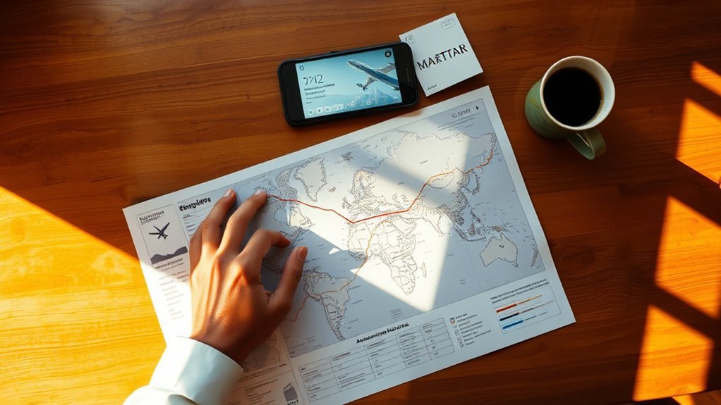
Picking the best route starts with deciding what “best” means for this trip. A commuter may care most about a dependable arrival time, while a road-trip traveler may prefer a scenic route with fewer highways. A delivery route may depend on opening hours, appointment windows, and pickup-before-drop-off rules.
- Set your main goal. Choose fastest arrival, shortest distance, lowest cost, fewer tolls, lower fuel or energy use, easier roads, or better scenery.
- Enter the exact start and destination. Confirm apartment numbers, entrances, parking areas, terminals, and similarly named locations.
- Compare at least two routes. Look beyond the first suggestion and compare ETA, distance, tolls, road type, and route complexity.
- Check your planned departure time. Current traffic may not reflect conditions later in the day. Google Maps provides departure- and arrival-time planning on supported platforms.
- Review restrictions. Check tolls, ferries, seasonal roads, low-clearance structures, vehicle limits, and private or unpaved roads.
- Add a delay buffer. Allow extra time when a late arrival would cause a missed appointment, flight, pickup, or reservation.
- Recheck shortly before leaving. Crashes, weather, construction, and closures can change the best option.
Google Maps uses real-time traffic information during navigation and can show alternate routes when they are available. However, no app has perfect knowledge of every temporary closure, driveway, construction zone, or local restriction.
Pro Tip: Save important addresses before the trip and confirm the destination pin on the map. A correctly spelled address can still point to the wrong entrance, parking lot, or side of a large property.
Shortest vs. Fastest Route: Which Is Better?
The shortest route covers the fewest miles, while the fastest route has the lowest estimated travel time under the conditions the app is using. They are not always the same. A shorter road may have lower speed limits, more signals, school zones, construction, or heavy stop-and-go traffic. A longer highway route may take less time but include tolls or use more fuel.
| Route Type | Best When | Check Before Choosing |
|---|---|---|
| Shortest | You want fewer miles or need to stay within a limited driving range | Signals, low speed limits, rough roads, and congestion |
| Fastest | Arrival time is the main priority | Tolls, HOV rules, expected traffic changes, and route complexity |
| Fuel- or energy-efficient | You want to reduce fuel, battery use, or emissions | Hills, stop-and-go traffic, road type, charging needs, and extra time |
| Most reliable | A late arrival would cause a serious problem | How often the road experiences unpredictable delays |
| Scenic | The drive is part of the experience | Daylight, weather, fuel access, road surface, and seasonal closures |
Some versions of Google Maps can estimate fuel or energy efficiency using factors such as traffic, hills, road type, and the selected vehicle or engine type. Feature availability varies by region and device. Review the current Google Maps fuel-efficient route guidance before relying on the option.
For time-sensitive travel, consider reliability as well as the displayed ETA. The Federal Highway Administration describes buffer time as extra travel time added above the average to account for unusually heavy delays.
A route is not truly the best choice if one ordinary traffic incident is likely to make you miss an important appointment.
Calculate the Real Cost of a Route
The cheapest route is not always the shortest one. Compare the complete cost rather than looking only at mileage or tolls.
Estimated trip cost = fuel or electricity + tolls + parking + ferry or access fees + other vehicle-specific costs.
- Gasoline or diesel: Divide route miles by your expected miles per gallon, then multiply by the current fuel price.
- Electric vehicle: Multiply route miles by expected energy use per mile, then multiply by the applicable charging price.
- Tolls: Check whether prices vary by vehicle, axle count, payment method, direction, lane, or time of day.
- Parking: Include garage fees and the extra time or distance needed to reach the final entrance.
- Delay cost: Consider whether a slower route risks a missed reservation, paid appointment, delivery window, or connection.
Note: A toll-free route may cost more overall when it adds substantial distance, stop-and-go traffic, parking difficulty, or charging needs. Compare the total trip rather than treating toll avoidance as an automatic saving.
Plan Routes With Multiple Stops
When you plan a route with multiple stops, do not simply visit the nearest place first. Start with the stops that have fixed constraints, then optimize the remaining sequence to reduce backtracking and protect your schedule.
Multi-Stop Route Order
Build a smooth multi-stop route by considering proximity, appointment windows, opening hours, visit durations, task dependencies, and the final destination. Let mapping or route-optimization software calculate a starting sequence, then review it for real-world details the software may not know.
- Lock fixed appointments. Place stops with narrow arrival windows before flexible errands.
- Respect dependencies. Complete each required pickup before its related delivery or drop-off.
- Group nearby flexible stops. Once hard constraints are set, combine stops in the same area to reduce repeated travel.
- Add realistic visit times. Include parking, loading, check-in, service, and walking time rather than counting only driving time.
- Confirm the final stop. A route ending at home may have a different ideal sequence than one ending across town.
- Add a buffer. Leave room for traffic, lines, road work, and stops that take longer than expected.
This process keeps the schedule realistic and flexible. If traffic shifts, you can adjust without losing track of appointments or dependent tasks.
Optimize Stop Sequence
Once you have entered fixed appointments and dependencies, optimize the flexible stops as one complete route. A dedicated optimizer can compare many possible sequences more effectively than a simple nearest-stop-first approach.
| Planning Move | Benefit |
|---|---|
| Lock narrow time windows | Protects appointments and opening hours |
| Place each pickup before its related drop-off | Preserves the required task order |
| Group flexible stops by area | Reduces repeated travel and backtracking |
| Add service and parking time | Produces a more realistic finish time |
| Recalculate after a major delay | Prevents the remaining plan from becoming stale |
Add Time Windows and Visit Durations
Driving time is only one part of a multi-stop trip. Record the earliest and latest acceptable arrival time for each stop, along with the expected time spent there. Include parking searches, walking, loading, security checks, meals, rest breaks, and charging stops where relevant.
For example, a stop that is only five minutes away may be a poor first choice if it does not open for another hour. A farther appointment with a strict deadline may need to come first even though it increases the opening distance.
Use Route Planning Tools to Save Time
Navigation and route-planning tools can turn a messy list of destinations into a clearer plan, but they serve different purposes. A navigation app focuses on directions and changing road conditions. A dedicated multi-stop optimizer focuses on finding a better stop order.
| Tool | Useful For | Important Limitation |
|---|---|---|
| Google Maps | General navigation, multiple destinations, traffic, alternate routes, toll information, and route preferences | Review the stop order yourself; feature availability differs by device and region |
| Waze | Live road reports, traffic-aware navigation, and alternate-route suggestions | It is mainly a navigation tool rather than a full multi-stop scheduling system |
| RouteXL | Reordering multiple destinations, time windows, and pickup-and-delivery relationships | Its free plan currently supports up to 20 addresses under its fair-use policy |
RouteXL states that it optimizes destination order and supports time windows and pickup-and-delivery points. It currently offers free planning for routes with up to 20 addresses under its fair-use policy. Plans and features can change, so check the service before planning an important trip.
Use route tools to:
- Import or enter your stop list.
- Set the start location, end location, fixed appointments, and visit durations.
- Choose whether time, distance, tolls, road type, or another factor matters most.
- Compare the proposed routes instead of accepting the first result automatically.
- Check expected traffic for the planned departure time.
- Save or share the route before leaving.
Avoid Traffic, Tolls, and Roadblocks
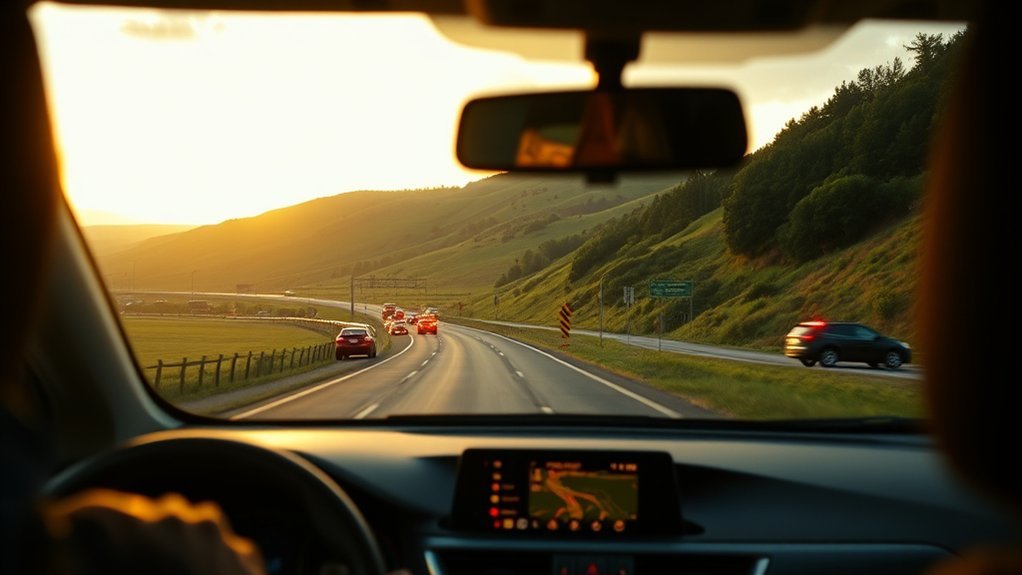
Once you have mapped a route, check how real-world conditions could change it. Live traffic can reveal crashes, unusual congestion, and reported closures, while typical traffic patterns can help you compare departure times. Route options may also let you avoid tolls, highways, or ferries, but an avoidance setting does not guarantee that every fee or restricted lane will be identified correctly.
| Tactic | Benefit | What to Check |
|---|---|---|
| Live updates | Identifies current delays | Crashes, closures, construction, and unusual congestion |
| Departure-time comparison | Helps avoid the worst expected period | Day of week, direction, events, weather, and school traffic |
| Reliability buffer | Reduces the risk of arriving late | How serious a delay would be and how unpredictable the road is |
| Toll avoidance | May reduce direct road charges | Added mileage, fuel, parking, and travel time |
| Official road information | Confirms major restrictions | State or local transportation alerts, weather closures, and emergency instructions |
Warning: Set your route, audio, and phone mount before moving. Do not type, scroll, or compare routes while driving. Use voice guidance, ask a passenger, or pull over safely. Road signs, police, emergency crews, and official closures always override an app.
Plan for Vehicle and Road Restrictions
A route that works for a passenger car may be unsafe or illegal for another vehicle. Confirm restrictions before traveling with a trailer, recreational vehicle, commercial truck, oversized load, or electric vehicle.
- Height and width: Check bridges, tunnels, parking garages, narrow roads, and construction zones.
- Weight and axle limits: Confirm posted bridge, road, and seasonal weight restrictions.
- Trailer restrictions: Review turn limitations, steep grades, ferry rules, propane restrictions, and suitable parking.
- Commercial vehicles: Do not assume a consumer navigation app accounts for truck routes, hazardous-material restrictions, inspection stations, or delivery rules.
- Electric vehicles: Include charging availability, charger compatibility, expected range, temperature, elevation, towing load, and a backup charger.
- Weather and seasons: Check chain requirements, snow closures, wildfire restrictions, flooding, and roads that close during winter.
- Access rules: Review private roads, gated entrances, permit areas, congestion zones, toll lanes, and time-limited access.
Prepare for Weak Signal or App Errors
Download an offline map before entering rural, mountainous, or low-signal areas. Google Maps supports offline driving navigation in available regions, but offline maps do not provide live traffic or alternate-route information. Download the entire route area rather than only the destination.
- Save the full destination address and phone number.
- Take a screenshot of critical turns, entrances, or reservation details.
- Carry a charging cable or power bank.
- Write down the main road numbers for remote trips.
- Check the offline map’s expiration or update date.
- Keep enough fuel or battery range to reach an alternate stop.
Note: GPS positioning may continue without mobile service, but traffic reports, newly reported closures, search results, and automatic rerouting may be limited or unavailable.
Adjust Your Route in Real Time
When traffic changes, a navigation app may compare current conditions and suggest a different route around congestion, crashes, or closures. Waze, for example, can show alternate routes and may suggest a route change during navigation. You can accept the change or remain on the current route.
- Turn on voice guidance and relevant traffic alerts before departure.
- Listen for a rerouting suggestion instead of watching the screen.
- Check whether the proposed route adds tolls, difficult turns, or unsuitable roads.
- Let a passenger review major changes when possible.
- Pull over safely if the new route requires detailed inspection or manual entry.
- After the trip, report incorrect directions or recurring map problems while parked.
Do not make a risky turn to follow a late instruction. Continue safely and allow the app to calculate another route. A missed turn is usually easier to correct than a sudden lane change or unsafe maneuver.
Pro Tip: A reroute that saves only a minute or two may not be worth unfamiliar side streets, several difficult turns, or a higher chance of missing an exit. Compare the size of the saving with the added complexity.
Troubleshoot a Route That Looks Wrong
Do not follow a route blindly when it conflicts with signs, known closures, vehicle restrictions, or common sense. Check the following before continuing:
- Wrong destination pin: Confirm the city, ZIP code, entrance, terminal, and side of the road.
- Route through a closure: Zoom in, compare another app, and check the responsible transportation agency’s alerts.
- Implausible ETA: Confirm the departure date, time zone, travel mode, stop durations, and whether traffic data is available.
- Unexpected toll or HOV lane: Review route details because charges and eligibility can vary by vehicle, direction, lane, and time.
- Poor multi-stop order: Look for duplicate addresses, missing time windows, an incorrect end point, or stops entered in a fixed order.
- Unsafe or unsuitable road: Select an alternate route and use navigation designed for your vehicle type where necessary.
- Lost connection: Continue only when the road is clearly safe and legal, then stop somewhere safe to load an offline map or confirm directions.
Frequently Asked Questions
Can ChatGPT optimize routes?
ChatGPT can help organize stops, identify time-window conflicts, compare route priorities, and prepare information for a navigation or optimization app. It should not automatically be treated as a source of live traffic, current closures, or turn-by-turn navigation because map and location access depends on the product and tools available in the session. Verify the final plan in a current navigation or dedicated route-optimization service.
What app finds the fastest route?
Google Maps and Waze can compare routes using current traffic information and provide alternate-route suggestions. The result is an estimate rather than a guarantee because conditions can change after the route is calculated. For many stops, use a dedicated optimizer to determine the stop order, then use a navigation app for live directions.
Can Google Maps predict future traffic?
Google Maps can estimate travel times for a planned departure or arrival time using the traffic information available to the service. Use the “Depart at” or “Arrive by” setting where supported. The result cannot predict every crash, storm, closure, or special event, so recheck the route before leaving.
How do I find the best time to drive a high-traffic route?
Compare several departure times for the exact route and day of the week. Do not rely on universal rush-hour ranges because congestion varies by direction, school schedules, events, weather, and local work patterns. For an important arrival, choose a lower-traffic period and add extra time for unexpected delay.
Is the shortest route always the cheapest?
No. A short route can include tolls, expensive parking, steep hills, slow traffic, or repeated stops. A slightly longer route may cost less when it avoids charges or allows steadier driving. Compare fuel or electricity, tolls, parking, and the value of your time.
How should I plan a route with multiple stops?
Enter the start and end points, lock fixed appointments, add opening hours and visit durations, and make each required pickup precede its related drop-off. Then use a route optimizer to sequence the flexible stops. Review the result for parking, road restrictions, breaks, and a realistic delay buffer.
Conclusion
The shortest route may look best on paper, but the fastest, cheapest, most reliable, or most fuel-efficient option may be different. Set your main priority, compare more than one route, account for tolls and restrictions, and add a delay buffer when arrival time matters. For multiple stops, schedule fixed commitments first and optimize the flexible stops around them. Recheck conditions before leaving, stay flexible, and make every route change safely.
Sources
- Google Maps Help: Get Directions and Show Routes — multiple destinations, alternative routes, toll information, and route settings
- Google Maps Help: Download Areas and Navigate Offline — offline-map use and limitations
- Waze Help: View Alternate Routes — alternate routes and in-trip route-change suggestions
- RouteXL Documentation — multi-stop optimization, time windows, pickup-and-delivery points, and free-plan limits
- Federal Highway Administration: Travel Time Reliability — buffer time and reliable-arrival planning
- National Highway Traffic Safety Administration: Distracted Driving — safe phone and navigation-system use while driving
