
Last Updated on July 25, 2026 by Ethan Caldwell
A successful solo road trip starts with more than choosing scenic stops. You need a route that matches your driving experience, a realistic schedule, a road-ready vehicle, reliable navigation backups, safe lodging, and a clear emergency plan. Preparing these details before departure gives you more freedom to enjoy the drive without ignoring risks.
Quick Answer
Plan a solo road trip by choosing roads that match your experience, checking weather and closures, limiting each driving day to what you can handle safely, sharing your itinerary, inspecting your vehicle, downloading offline maps, budgeting every major expense, and carrying enough emergency supplies to manage a delay or breakdown.
Key Takeaways
- Choose a route based on road conditions, weather, services, daylight, and your driving experience, not scenery alone.
- Share your route, lodging, check-in times, and expected arrival with at least one trusted person.
- Inspect your vehicle and pack a roadside kit before leaving.
- Download offline maps and check official transportation sources instead of relying on one navigation app.
- Stop driving when you feel sleepy, unfocused, unwell, or uncomfortable with the conditions.
At a Glance
| Time Required | About 2 to 4 hours for a short trip; longer for a multi-state itinerary |
| Difficulty | Easy to moderate |
| Tools Needed | Map or route planner, weather forecast, road-condition resources, calculator, vehicle manual, and packing checklist |
| Cost | Varies by distance, fuel use, lodging, meals, tolls, parking, activities, and insurance |
Disclosure: As an Amazon Associate I earn from qualifying purchases. Some links on this page are affiliate links, at no extra cost to you.
Choose a Safe Solo Road Trip Destination
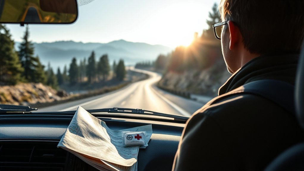
A good solo destination fits your driving ability, available time, vehicle, and comfort level. A famous scenic road is not automatically the right choice. Mountain passes, remote deserts, winter highways, and roads with long gaps between services may require more preparation than a busy interstate route.
Review each possible route for:
- Road type: Check whether it includes interstates, narrow mountain roads, unpaved sections, ferries, seasonal roads, or border crossings.
- Current conditions: Review construction, closures, wildfire activity, flooding, snow, fog, and high-wind forecasts.
- Available services: Identify fuel stations, rest areas, food, lodging, repair shops, hospitals, and safe places to stop.
- Phone coverage: Expect possible dead zones even when a coverage map looks promising.
- Daylight: Plan difficult or unfamiliar sections for daylight hours.
- Personal experience: Avoid roads that exceed your experience with steep grades, ice, heavy city traffic, or unfamiliar driving laws.
Colorado’s scenic route is correctly called the Million Dollar Highway. It is a section of U.S. 550 between Ouray and Silverton. Rather than treating it as a route everyone must avoid, check current conditions and decide whether its elevation, curves, weather, and road work suit your skills.
Note: A navigation app may suggest an unpaved or rugged shortcut around a closure. Do not follow it unless an official transportation agency confirms that the road is open and suitable for your vehicle.
Prepare Your Vehicle and Emergency Plan
Have your vehicle checked before a long trip, especially if it has unresolved warning lights, unusual noises, fluid leaks, weak starting, steering problems, or worn tires. Follow the service schedule in your owner’s manual and leave enough time to repair problems before departure.
At minimum, check:
- Tire pressure, tread, visible damage, and the condition of the spare tire
- Engine oil, coolant, brake fluid, and windshield-washer fluid
- Headlights, brake lights, turn signals, and hazard lights
- Windshield wipers and washer system
- Battery condition
- Brakes and steering
- Jack, wheel-lock key, tire tools, and instructions for using them
- Vehicle registration, driver’s license, insurance information, and roadside-assistance details
The National Highway Traffic Safety Administration recommends carrying a roadside kit even in a well-maintained vehicle. Useful items include a charged phone, car charger, first-aid kit, flashlight, warning triangles or flares, jumper cables, tire-pressure gauge, jack, work gloves, basic tools, water, nonperishable food, needed medicine, maps, and emergency blankets.
Share Your Itinerary
Give a trusted person your general route, planned lodging, vehicle description, license plate number, and expected arrival times. Set a simple check-in schedule, such as a message after reaching each overnight stop.
Agree in advance on what that person should do if you miss a check-in. They should first try to contact you, then check your latest known route or lodging before contacting local authorities when there is a reasonable cause for concern.
Location sharing can help, but protect your privacy. Share it only with people you trust, and avoid posting your exact location or empty-home status publicly while the trip is underway.
Plan Your Driving Schedule
Build your schedule around alertness, daylight, road difficulty, weather, and how you normally handle long drives. Six hours on a quiet interstate may feel very different from six hours in heavy traffic, rain, snow, or mountain terrain.
Start each driving day after enough sleep. Add time for fuel, meals, restrooms, traffic, construction, scenic stops, and unexpected delays. A route listed as five hours on a map can easily take longer once normal stops are included.
Do not treat any daily time or mileage target as a requirement. Stop earlier when you notice:
- Frequent yawning or heavy eyelids
- Trouble remembering the last few miles
- Drifting toward lane markings
- Missing signs or exits
- Repeated speed changes
- Irritability, poor judgment, or difficulty focusing
NHTSA advises drivers to get adequate sleep and notes that midnight to 6 a.m. and late afternoon are common periods of increased sleepiness. Coffee, loud music, cold air, and open windows do not replace sleep.
Warning: Never continue driving because a hotel reservation, planned attraction, or arrival deadline feels more important than stopping. Pull into a safe, legal place and rest when you become drowsy.
Map Your Route in Google Maps
Google Maps works well for active navigation, while Google My Maps is useful for building a visual itinerary on a computer. In My Maps, you can create a map, add destinations, organize places into layers, save directions, and drag a route to examine alternatives.
For a normal Google Maps route:
- Enter the starting point and final destination.
- Add fuel, meal, lodging, and attraction stops.
- Reorder stops to create a logical route.
- Review alternate routes, tolls, road types, and estimated time.
- Check each day separately rather than placing an entire long trip into one route.
Google Maps supports up to nine stops, including the final destination. For a longer itinerary, create one route for each travel day or use a dedicated trip-planning service.
Download Offline Maps
Download map areas before traveling through places with weak service. Make sure the entire planned route is inside the downloaded area. Offline driving directions may still work, but live traffic, current closures, and alternate routes are unavailable while you are offline.
Also keep key addresses, reservation details, emergency contacts, and route numbers in a note or printed document. A paper road map remains useful if your phone fails, overheats, breaks, or loses power.
Pro Tip: Before departure, open every downloaded map and saved reservation while your phone is in airplane mode. This quick test shows whether the information is truly available offline.
Check Official Road Information
Navigation apps are useful, but official transportation agencies should be your main source for closures and restrictions. In the United States, many states provide road information through a 511 phone service, website, or app. Search for the transportation department or 511 service for every state on your route.
Review conditions before leaving and again during a safe stop. Never hold or reprogram a phone while driving. Follow road signs, closures, police directions, and construction crews even when an app gives different instructions.
Budget for Gas, Lodging, and Food
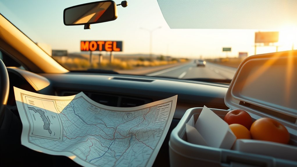
Build your budget before booking nonrefundable lodging. Include the return journey and local driving at each destination, not only the direct distance shown on the first route.
Estimate Fuel Cost
Use this basic formula:
Estimated fuel cost = total trip miles ÷ expected miles per gallon × average fuel price per gallon.
For example, a 1,200-mile trip in a vehicle averaging 30 mpg would use about 40 gallons. At $4 per gallon, the estimated fuel cost would be $160. Actual use may rise with traffic, idling, roof cargo, high speeds, steep grades, extreme temperatures, or a heavily loaded vehicle.
The official FuelEconomy.gov Trip Calculator can estimate fuel use based on the route and vehicle.
Include Every Major Expense
- Fuel or charging: Include local driving and a reserve for rerouting.
- Lodging: Add taxes, resort fees, parking, deposits, and pet fees where relevant.
- Food: Separate groceries, cooler supplies, coffee, and restaurant meals.
- Tolls: Check the toll authority’s official website and any rental-car toll fees.
- Parking: Include hotels, attractions, downtown garages, parks, and trailheads.
- Activities: Add admissions, tours, permits, and reservations.
- Vehicle costs: Include inspection, maintenance, roadside assistance, and possible repairs.
- Emergency reserve: Keep money available for a repair, replacement tire, medical need, route change, or unexpected hotel night.
A reserve of 10% to 15% can be a useful personal target, but it is not a rule. Increase it when traveling through remote or expensive areas.
Pick the Best Road Trip Apps
No single app is best for every task. Use one tool for itinerary planning, one for active navigation, and official sources for closures and emergency information. Check current pricing and features before depending on a specific service.
Route Planning Tools
- Google Maps: Useful for free navigation, alternate routes, traffic, offline areas, and trips with up to nine stops.
- Google My Maps: Useful for organizing attractions, lodging, notes, and route layers on a computer.
- Roadtrippers: Useful for discovering attractions and creating detailed itineraries. Free and paid plans have different limits.
- MapQuest Route Planner: Useful for arranging stops and comparing routes.
- Waze: Useful for active navigation, traffic reports, incidents, and rerouting where mobile data is available.
Gas Savings Apps
Gas-price tools can help you compare stations, but the lowest listed price is not always the best choice. A long detour may use more fuel than it saves, and some prices may require a membership, cash payment, or specific app.
- Waze: Can sort stations by price, distance, or brand. Its gas prices are updated by users and may not always match the pump.
- GasBuddy: Can help compare reported fuel prices and station locations.
- FuelEconomy.gov: Provides an official trip-cost calculator for estimating total fuel use.
- AAA Fuel Prices: Provides fuel averages and a gas-cost calculator.
Pit Stop Helpers
- iExit: Shows services, rest areas, fuel, lodging, dining, and other facilities at upcoming U.S. interstate exits.
- Roadtrippers: Helps identify attractions, restaurants, lodging, and unusual roadside stops.
- Roadside America: Focuses on unusual attractions and roadside landmarks.
- State 511 services: Provide official traffic, closure, construction, and road-condition information where available.
Save important stops before driving. Search for new stops only after pulling into a safe parking area.
Book Safer Lodging and Protect Your Privacy
Choose lodging based on more than the room rate. Review the location, recent guest feedback, parking arrangement, check-in hours, front-desk availability, entrance lighting, and distance from your next route.
For a smoother solo arrival:
- Try to arrive before dark, especially in an unfamiliar area.
- Confirm late-check-in instructions before leaving an area with service.
- Park in a legal, well-lit place near the entrance when possible.
- Take valuables, identification, medicines, and electronics inside.
- Do not leave luggage visible in a parked vehicle.
- Keep the room number private and use every available door lock.
- Move to another location when the property or surrounding area feels unsafe.
Avoid publicly posting your hotel, route, or current location in real time. Share updates privately with trusted contacts and post public trip photos after leaving the location.
Pack the Solo Road Trip Essentials
Pack for normal travel and for a delay that lasts longer than expected. Keep emergency supplies where you can reach them without unloading the entire vehicle.
Navigation and Communication
- Phone and car charger
- Charged power bank
- Offline maps
- Paper map
- Written emergency contacts
- Reservation addresses and confirmation numbers
- Flashlight with spare batteries
Vehicle and Roadside Supplies
- First-aid kit and personal medicine
- Warning triangles, flares, or a reflective marker
- Jumper cables or a charged jump starter
- Tire-pressure gauge
- Jack, lug wrench, and usable spare tire or approved tire-repair equipment
- Work gloves and basic tools
- Emergency blanket and weather-appropriate clothing
- Drinking water and nonperishable food
Food and Comfort
A cooler can reduce meal costs, but perishable food must stay cold. Keep cold food at 40°F or below with ice or frozen gel packs. Do not leave perishable food unrefrigerated for more than two hours, or more than one hour when the surrounding temperature is above 90°F.
Easy travel foods include:
- Whole fruit
- Nuts and seeds
- Granola or protein bars
- Crackers
- Jerky
- Nut-butter packets
- Sealed water and electrolyte drinks
Add comfortable clothing, supportive shoes, sunglasses, sunscreen, tissues, hand sanitizer, a travel pillow, and a light blanket.
What to Do If Your Plan Goes Wrong
If Your Vehicle Breaks Down
- Move as far from traffic as safely possible.
- Turn on the hazard lights.
- Call roadside assistance or emergency services when needed.
- Use warning devices only when you can place them without entering dangerous traffic.
- Remain in a safer location. Depending on the road and position of the vehicle, that may be inside the locked vehicle or well away from traffic behind a barrier.
- Do not accept a ride or give personal information to an unknown person unless you feel confident it is safe.
If You Lose Phone Service
Use your offline map, paper map, saved addresses, and route numbers. Continue only when you can safely identify the road and your next known stop. Do not take an unverified shortcut simply because it appears shorter.
If Weather or Road Conditions Deteriorate
Slow down, increase following distance, and stop at a safe location when visibility, traction, wind, flooding, fire, or snow makes driving unsafe. Check the local transportation department, National Weather Service, or 511 service before continuing.
If You Feel Unsafe
Leave the area when you can do so safely. Drive to a staffed gas station, hotel, police or fire station, hospital, or another busy public place. Call emergency services when you face an immediate threat.
Frequently Asked Questions
What Is the 3-3-3 Rule for Road Trips?
The common RV 3-3-3 guideline means driving no more than about 300 miles in a day, arriving by 3 p.m., and staying for three nights. It is an informal pacing method, not an official safety rule. Solo car travelers should adjust their schedule for fatigue, road difficulty, weather, daylight, and experience.
Should I Take the Suggested or Fastest Route?
Choose the route that best balances safety, road conditions, daylight, fuel access, traffic, tolls, and your driving experience. The fastest route is not always the easiest or safest. Check official closures and avoid unverified shortcuts, especially on mountain, desert, winter, or unpaved roads.
Does AAA Still Make Paper TripTiks?
Yes. Participating AAA branches can prepare personalized printed TripTiks, and digital TripTik planning is also available. AAA discontinued its paper TourBooks in 2021, so do not confuse printed TripTiks with the former paper TourBook guides.
What Free App Can Plan a Route With Multiple Locations?
Google Maps is free and supports up to nine stops, including the final destination. For a longer trip, create a separate route for each driving day. Google My Maps can organize a larger itinerary visually, but it is better suited to planning on a computer than active turn-by-turn navigation.
How Often Should I Stop on a Solo Road Trip?
There is no single interval that is safe for every driver. Plan regular breaks and stop sooner whenever you feel stiff, hungry, distracted, sleepy, or unable to focus. Do not wait for severe fatigue before resting.
Should I Buy Roadside Assistance or Travel Insurance?
They cover different risks. Roadside assistance may provide towing, jump-starts, lockout help, or tire service. Travel insurance may cover certain cancellations, interruptions, medical events, or delays. Read the exact policy because roadside help is not automatically included in every travel insurance plan.
Conclusion
A safe solo road trip depends on preparation, honest limits, and reliable backups. Choose roads that match your experience, inspect your vehicle, share your itinerary, download maps, check official conditions, and budget for delays as well as expected costs. Once the trip begins, stay flexible and stop whenever fatigue, weather, road conditions, or personal safety gives you a reason to pause.
Sources
- National Highway Traffic Safety Administration: Road Trip Tips — vehicle preparation, route planning, emergency kits, and safe driving.
- National Highway Traffic Safety Administration: Drowsy Driving — sleep, fatigue risks, warning signs, and higher-risk driving periods.
- Google Maps Help: Get Directions and Add Stops — multi-stop route planning and the nine-stop limit.
- Google Maps Help: Offline Maps — downloading map areas and offline-navigation limitations.
- AAA TripTik Travel Planner — digital planning and personalized printed TripTiks.
- FuelEconomy.gov Trip Calculator — official route-based fuel-cost estimates.
