Last Updated on September 10, 2026 by Daniel Globe
Canadian Rockies weather changes sharply with the season, elevation, and location. A warm afternoon in Banff can coincide with cold wind, snow, or poor visibility on a high pass. Spring arrives in the valleys before the alpine, summer brings long hiking days and afternoon storms, fall offers cool trails and changing colors, and winter requires serious cold-weather preparation.
Quick Answer
Canadian Rockies weather varies by season, elevation, and destination. Banff’s July average high is about 22°C (72°F), while January nights average near -15°C (5°F), and higher routes stay colder. Pack layers and rain protection, then check forecasts, trails, smoke, roads, and avalanche conditions before every outing.
Key Takeaways
- July is usually the warmest month in Banff and Jasper, but nights can remain cold near lakes and at higher elevations.
- Snow can fall during any month on high routes such as the Icefields Parkway.
- Valley trails may open weeks before alpine passes, which can retain snow and ice into summer.
- Summer hikers should start early and leave ridges, summits, and exposed slopes when thunderstorms approach.
- Always check current weather, trail, road, air-quality, fire, and avalanche information instead of relying only on climate averages.
Note: Monthly averages describe long-term patterns, not the conditions you will experience on a specific day. Temperatures, rain, snow, wind, visibility, and smoke can differ greatly between a townsite, a lake, and a nearby mountain pass.
Disclosure: As an Amazon Associate I earn from qualifying purchases. Some links on this page are affiliate links, at no extra cost to you.
Why Mountain Weather Changes So Fast
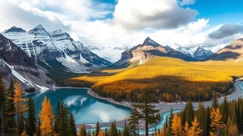
The Canadian Rockies contain valleys, forests, lakes, glaciers, ridges, and high passes within short distances. Each landscape handles sunlight, wind, and moisture differently, creating local microclimates.
Elevation is one of the biggest influences. Parks Canada advises that temperatures in Banff generally fall by about 1°C for every 200 metres of elevation gained. Jasper gives similar guidance of about 1.7°C for every 300 metres. A trailhead can feel mild while an exposed ridge nearby is cold and windy. That ridge can also be surrounded by lingering snow well after the valley has dried out.
Mountain slopes also force moving air upward. Rising air cools, clouds form, and rain, snow, or thunderstorms may develop quickly. The direction of a valley, nearby glaciers, shaded slopes, and passing cold fronts add further differences from one location to the next — sometimes within the same afternoon.
In the Canadian Rockies, the most dependable feature of the weather is its variability. Conditions can change between the trailhead and the summit—and again before you return.
Weather Differences by Destination and Elevation
There is no single temperature or rainfall pattern for the entire Canadian Rockies. Banff, Lake Louise, Jasper, and the Icefields Parkway sit at different elevations and receive different amounts of rain and snow.
| Location | Typical Weather Difference | Planning Implication |
|---|---|---|
| Town of Banff | A useful valley-level reference, with a July average high near 22°C and a January average low near -15°C. | Do not apply town temperatures directly to high trails or passes. |
| Lake Louise | Higher and generally colder than Banff, with colder nights and substantially more winter snow. | Carry a warm layer even when Banff feels comfortable. |
| Jasper townsite | July has a mean daily maximum near 22.5°C, while January’s mean maximum is about -9.4°C. | Expect warm summer afternoons but cold winter days and rapid changes during fronts. |
| Icefields Parkway | High passes, glaciers, and exposed terrain stay colder. Snow is possible during any month. | Bring warm and waterproof clothing even during a summer drive. |
| Alpine trails | Wind, shade, snowfields, and elevation can make conditions much colder than the nearest town. | Check the specific trail report, not only the town forecast. |
Banff to Lake Louise is a short drive, but Banff to Jasper via the Icefields Parkway takes roughly four hours in good conditions — and considerably longer when snow, ice, wildlife, or avalanche-control closures slow traffic. Build extra time into any itinerary that crosses this corridor, and treat the drive itself as a weather-dependent activity rather than a fixed travel time.
Canadian Rockies Weather by Season
Each season offers a different Canadian Rockies experience. The dates below are practical planning windows rather than fixed boundaries because spring reaches valley bottoms long before high passes, while winter can continue into early summer at elevation.
Spring Weather in Banff and Jasper
Early March is normally still winter in much of Banff and Jasper. In Jasper, spring commonly reaches valley bottoms around mid-April and does not reach the high country until about mid-June. Banff follows a similar pattern: lower paths can dry out while shaded slopes, passes, and alpine trails remain covered by snow or ice.
April and May bring longer days, thawing lakes, runoff, muddy trails, and stronger waterfalls. Daytime conditions may feel mild in town, but nights can still fall below freezing. Snowfall also remains possible, especially around Lake Louise and on higher routes.
| Area | Spring Conditions | What to Expect |
|---|---|---|
| Banff townsite | Cool mornings and milder afternoons | Mixed rain and snow, thawing paths, and variable overnight freezes |
| Jasper valleys | Spring develops from about mid-April | Snowmelt, muddy sections, wildlife activity, and changing river conditions |
| Lake Louise | Colder than Banff | Lingering snow, frozen or partially thawed water, and colder nights |
| High trails and passes | Winter conditions can continue into June | Deep snow, ice, avalanche exposure, and limited trail access |
Warning: Snowmelt can make streams faster, deeper, and colder than they appear. Do not enter closed trails, walk beneath overhanging snow, or attempt a high-water crossing simply because a route is normally passable later in the season.
Summer Weather for Hiking
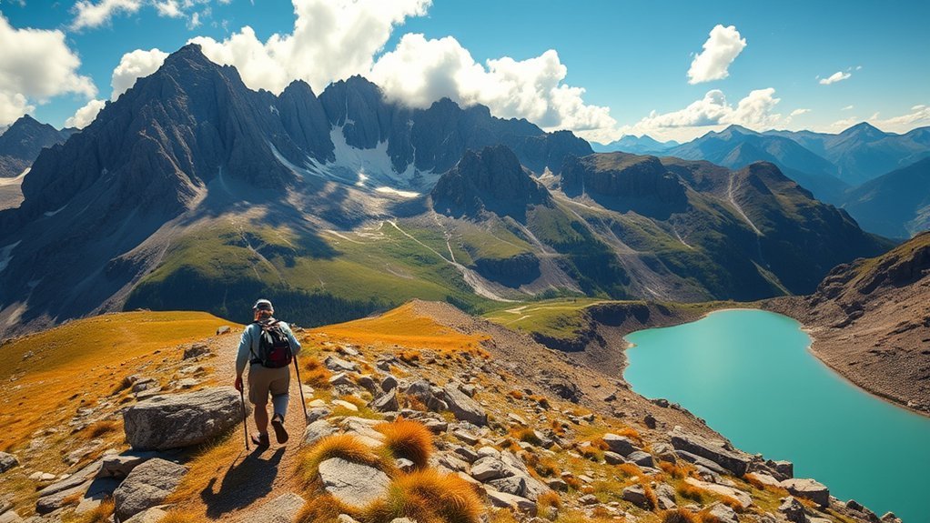
Summer offers the longest daylight and the broadest access to Canadian Rockies trails. In the Town of Banff, July averages about 22.1°C (71.8°F) during the day and 7.4°C (45.3°F) at night. Lake Louise is cooler, averaging about 20.4°C (68.7°F) by day and 3.6°C (38.5°F) at night.
Those averages do not guarantee warm alpine conditions. High routes can be windy, wet, or near freezing, and Parks Canada warns that snow can fall during any month on the Icefields Parkway. Alpine trails may not become mostly snow-free until around mid-July.
Early mornings also tend to bring the calmest air, the clearest mountain reflections on lakes, and the best chance of wildlife activity before trails warm up and traffic increases — another reason to start hikes and drives early in summer, beyond the safety benefits described below.
Summer Thunderstorms and Lightning
Warm afternoons can produce fast-building thunderstorms. Lightning is especially dangerous on summits, ridges, open slopes, shorelines, and exposed viewpoints. Darkening clouds, thunder, sudden gusts, falling temperatures, or static in the air are reasons to turn around immediately.
- Start exposed hikes early in the morning.
- Check the hourly forecast, not only the daily weather symbol.
- Leave summits and ridges before a storm reaches you.
- Move toward lower, less exposed terrain.
- Stay away from isolated trees, cliff edges, metal railings, and open water.
- Do not depend on a shallow cave or rock overhang for lightning protection.
Pro Tip: Plan alpine hikes backward from your turnaround time. Decide when you must leave the summit or exposed section before you start, then turn around at that time even if the weather still looks acceptable.
Summer Heat, Sun, and Hydration
Strong sun, dry air, exertion, and elevation can increase fluid needs. Carry enough water for the route, drink regularly, and use sun protection even when the air feels cool. A hat, sunglasses, sunscreen, and breathable clothing help reduce sun exposure on open trails.
Warm weather can also contribute to wildfire growth and smoke. Check the federal Air Quality Health Index and current park fire information before strenuous outdoor activity. People with heart or lung conditions, older adults, children, pregnant people, and anyone who develops coughing or throat irritation may need to shorten or reschedule activity when smoke increases.
Fall Weather and Autumn Colors
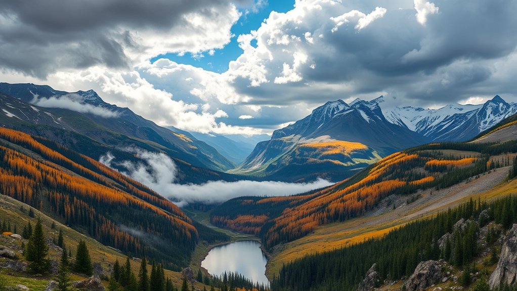
Fall brings cooler days, cold nights, changing leaves, and a growing chance of snow. September is often comfortable for hiking at lower elevations, while October can shift quickly between clear autumn weather and early winter conditions.
Peak Fall Foliage
There is no single guaranteed peak date for the entire Canadian Rockies. Elevation, tree species, frost, wind, and recent weather all affect the timing. Alpine larches often turn yellow from mid- to late September, while lower-elevation aspens and shrubs may retain color into early October.
For the best odds, plan a flexible visit from the second half of September into early October and check recent park updates or local webcams. Strong wind or an early snowstorm can shorten the display.
Crisp Hiking Conditions
Cooler air can make fall hiking comfortable, but shorter daylight and freezing nights require more planning. Banff’s average September high is about 16.1°C (61°F), falling to about 10.1°C (50.2°F) in October. Average lows drop from 2.7°C (36.9°F) in September to -1.1°C (30°F) in October.
- Start early enough to finish before dark.
- Carry gloves, a warm hat, and an insulating layer.
- Expect frost, ice, or snow on shaded sections.
- Check whether seasonal roads, shuttles, facilities, or trails have changed hours.
- Give wildlife plenty of space, particularly during active mating periods.
Quiet Shoulder Season
Fall can be quieter than midsummer, especially after the main vacation period. Accommodation availability and pricing may improve, but some tours, campgrounds, roads, and visitor services begin reducing operations. Confirm what is open before building a plan around a specific facility.
Clear autumn nights can occasionally offer aurora viewing, but northern lights are never guaranteed. Cloud cover, solar activity, moonlight, artificial light, and your view of the northern sky all affect visibility.
Winter Weather and Snow Conditions
Winter in the Canadian Rockies is cold and snow-filled. In Banff, the January average high is about -5.3°C (22.5°F), and the average low is about -14.9°C (5.2°F). Jasper’s mean January maximum is about -9.4°C (15.1°F). Cold snaps can be much more severe.
Wind chill is a major hazard. Parks Canada notes that an air temperature of -20°C (-4°F) can feel closer to -30°C (-22°F) when wind is included. Wet clothing, exposed skin, fatigue, and long periods outdoors increase the risk of frostbite and hypothermia.
- Use a moisture-wicking base layer, an insulating middle layer, and a windproof outer shell.
- Cover fingers, ears, cheeks, and other exposed skin.
- Carry spare dry gloves and socks on longer outings.
- Use traction devices where recommended on packed or icy trails.
- Check road reports before driving and carry winter emergency supplies.
Warning: Never assume a natural lake or river is safe for walking or skating because the surface looks frozen. Ice thickness can vary around currents, springs, inlets, outlets, cracks, and snow-covered areas. Use only maintained or officially confirmed surfaces and follow all posted closures.
Avalanche and Winter Road Safety
Many backcountry routes cross avalanche terrain. Anyone skiing, snowshoeing, hiking, or snowboarding outside controlled areas should understand the terrain, carry appropriate rescue equipment, obtain training, and check the current Avalanche Canada forecast.
The Icefields Parkway can have snow-covered pavement, ice, poor visibility, and temporary avalanche-control closures. Winter weather commonly lasts from early November into mid-June along the corridor. Avoid stopping in marked avalanche zones, keep the fuel tank comfortably above empty, and carry food, water, warm clothing, and an emergency kit.
Canadian Rockies Monthly Temperatures and Rainfall
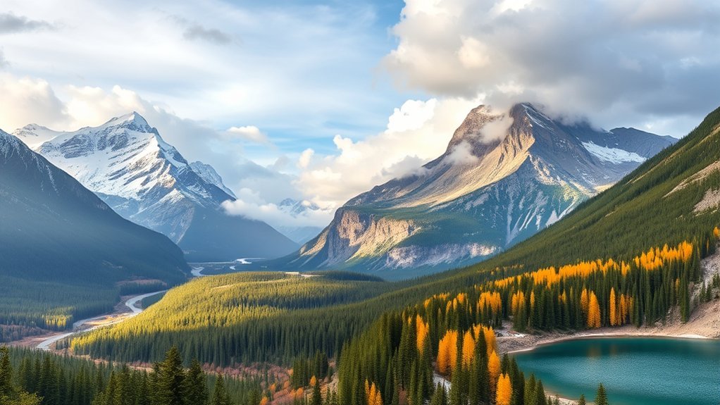
The table below uses Parks Canada averages for the Town of Banff at an elevation of about 1,397 metres. It is a practical reference for valley-level planning, not a forecast for Lake Louise, Jasper, the Icefields Parkway, or an alpine trail.
Monthly Temperature Trends
| Month | Average High | Average Low | Rainfall | Snowfall | Planning Note |
|---|---|---|---|---|---|
| January | -5.3°C / 22.5°F | -14.9°C / 5.2°F | 2.4 mm | 38.2 cm | Deep winter; prepare for severe wind chill and short daylight. |
| February | 0.1°C / 32.2°F | -11.3°C / 11.7°F | 1.7 mm | 30.0 cm | Cold, snowy, and suitable for winter activities with proper preparation. |
| March | 3.8°C / 38.8°F | -7.9°C / 17.8°F | 1.6 mm | 27.0 cm | Still winter on most mountain routes; sunny afternoons can soften snow. |
| April | 9.0°C / 48.2°F | -2.8°C / 27°F | 10.6 mm | 26.3 cm | Mixed winter and spring conditions; expect freeze-thaw cycles. |
| May | 14.2°C / 57.6°F | 1.5°C / 34.7°F | 42.4 mm | 17.1 cm | Valleys thaw, but high trails remain snowy and muddy sections are common. |
| June | 18.7°C / 65.7°F | 5.4°C / 41.7°F | 58.4 mm | 1.7 cm | Long daylight and frequent showers; many alpine routes still hold snow. |
| July | 22.1°C / 71.8°F | 7.4°C / 45.3°F | 51.1 mm | 0 cm | Warmest average month; monitor thunderstorms, heat, smoke, and crowds. |
| August | 21.6°C / 70.9°F | 6.8°C / 44.2°F | 51.2 mm | 0 cm | Good alpine access, but storms and wildfire smoke remain possible. |
| September | 16.1°C / 61°F | 2.7°C / 36.9°F | 37.7 mm | 7.0 cm | Cool hiking and fall color; frost and early snow become more likely. |
| October | 10.1°C / 50.2°F | -1.1°C / 30°F | 15.4 mm | 18.9 cm | A true shoulder month with possible winter driving and trail conditions. |
| November | 0.5°C / 32.9°F | -8.2°C / 17.2°F | 6.0 mm | 33.6 cm | Winter settles in; monitor road conditions and avalanche bulletins. |
| December | -5.3°C / 22.5°F | -13.8°C / 7.2°F | 2.8 mm | 43.9 cm | Cold, snowy, and dark; daylight lasts less than eight hours near midwinter. |
Rainfall By Destination
Precipitation changes over short distances because mountain ranges remove moisture from moving air. Banff’s wettest rainfall period in the official monthly table is late spring and summer, with about 58.4 mm in June and roughly 51 mm in both July and August. Much of winter precipitation falls as snow instead of rain.
Lake Louise is only about 130 metres higher than Banff, but it receives much more winter snowfall. Parks Canada lists average December snowfall of about 75.5 cm at Lake Louise compared with 43.9 cm in Banff. This difference shows why one town’s weather data should not be treated as a forecast for the entire park.
Jasper also contains strong local differences. Valley alignment, glacier winds, elevation, and exposure can make a nearby trail colder, wetter, or windier than the townsite.
Best Time to Visit by Activity
| Activity | Useful Planning Window | Main Weather Trade-Off |
|---|---|---|
| Lower-elevation sightseeing | May through October | May can be wet and snowy; October can turn wintry. |
| High-elevation hiking | Mid-July through early September | Thunderstorms, smoke, cold nights, and early snow are still possible. |
| Waterfalls and snowmelt | Late May through June | High water, muddy paths, and snow-covered alpine trails. |
| Larch and fall-color viewing | Mid-September through early October | Timing varies, and wind or snow can shorten the display. |
| Skiing and snowboarding | Winter through early spring, depending on the resort | Cold snaps, wind, road conditions, and changing snow quality. |
| Quieter town visits | Late April, May, October, and November | Reduced services and unpredictable shoulder-season weather. |
No single month is best for every traveler. July and August provide the broadest hiking access, but they also bring peak crowds, possible thunderstorms, and wildfire-smoke risk. September offers cooler trails and fall color, while winter is best for snow-focused trips.
Packing for Canadian Rockies Weather
Pack for the coldest and wettest realistic part of your itinerary, not only for the temperature shown in town. A simple layering system lets you adjust when the weather changes.
Year-Round Packing Essentials
- Base layer: A breathable top that moves moisture away from your skin.
- Warm layer: Fleece, wool, or a lightweight insulated jacket.
- Weather shell: A waterproof, wind-resistant jacket with a hood.
- Footwear: Comfortable shoes or boots with traction suited to the route.
- Sun protection: Sunglasses, sunscreen, a hat, and lip protection.
- Water: Bottles or a hydration reservoir sized for the outing.
- Navigation: An offline map or other dependable navigation method for trails.
- Emergency items: A light, whistle, basic first-aid supplies, food, and an extra warm layer.
Season-Specific Extras
- Spring: Waterproof footwear, gaiters, traction devices where appropriate, and spare dry socks.
- Summer: Insect protection, extra water, sun protection, and a compact warm layer.
- Fall: Gloves, a warm hat, a headlamp, and clothing for frost or early snow.
- Winter: Insulated boots, warm mittens, face protection, traction, and vehicle emergency supplies.
- Smoke-prone periods: Any medications you may need and a flexible indoor or lower-exertion backup plan.
Pro Tip: Keep your rain shell, warm layer, gloves, and hat accessible instead of burying them at the bottom of a suitcase or hiking pack. Mountain weather often changes too quickly for a long repacking stop.
How to Check Conditions Before You Go
A long-range forecast is useful for broad planning, but your final decision should use the newest location-specific information. Complete these checks the evening before an outing and repeat them before departure:
- Weather: Review the hourly forecast, alerts, wind, precipitation, overnight low, and freezing level.
- Trail conditions: Check the relevant Banff, Jasper, Yoho, or Kootenay trail report.
- Road conditions: Review provincial road information and Parks Canada bulletins, especially for the Icefields Parkway.
- Air quality: Check the AQHI and any wildfire-smoke forecast.
- Fire information: Look for active fire bans, closures, or wildfire-affected areas.
- Avalanche conditions: Review the current regional forecast whenever snow-covered avalanche terrain is involved.
- Daylight: Confirm sunrise and sunset, then allow extra time for delays and changing conditions.
Note: A clear town forecast does not prove that a high pass, glacier viewpoint, or alpine trail is clear. Review the forecast or report closest to the actual route and elevation.
Frequently Asked Questions
What is the best month to visit the Canadian Rockies?
July and August usually provide the warmest weather and widest access to high trails. September is often better for cooler hiking, fall color, and somewhat lighter crowds. Winter is best for skiing and snow-focused activities. The best month therefore depends on your planned activities rather than temperature alone.
What is the gloomiest city in Canada?
There is no single official “gloomiest” city because the answer changes depending on whether you measure annual sunshine, cloud cover, rainy days, or precipitation. Prince Rupert, British Columbia, is commonly listed among Canada’s least sunny cities. Prince George should not be described categorically as the gloomiest without defining the metric and data period.
Is there a dress code on the Rocky Mountaineer?
Rocky Mountaineer describes onboard clothing as casual and recommends comfortable layers. A light jacket or sweater is useful because temperatures and air conditioning can vary. The company also recommends flat-soled shoes with grip rather than formal footwear. Review the current official packing guidance before departure.
What kind of clothes should I pack for Banff?
Pack a breathable base layer, a warm fleece or insulated layer, and a waterproof wind-resistant jacket. Add comfortable footwear with traction, a hat, sunglasses, and sun protection. In fall or winter, include gloves, a warm hat, insulated footwear, and additional cold-weather layers.
Can it snow in the Canadian Rockies during summer?
Yes. Snow can fall during any month at higher elevations, including along the Icefields Parkway. Even without snowfall, summer nights can approach freezing around high passes and alpine lakes. Carry a warm layer and waterproof shell on mountain outings.
How reliable is a Canadian Rockies weather forecast?
Forecasts are useful but cannot capture every mountain microclimate. Accuracy generally improves closer to the date, yet elevation, wind, terrain, and fast-moving fronts can still produce local changes. Use hourly forecasts together with trail reports, road conditions, webcams, alerts, and observations at the start of your trip.
Sources
- Parks Canada: Banff National Park Weather Conditions — Banff and Lake Louise temperature, rainfall, snowfall, elevation, daylight, and weather-variability data.
- Parks Canada: Jasper National Park Weather — Jasper seasonal timing, average temperatures, microclimates, and elevation effects.
- Parks Canada: Icefields Parkway — year-round snow possibility, alpine trail timing, winter roads, and avalanche-control closures.
- Parks Canada: Jasper Environmental Hazards — snow, ice, glaciers, rockfall, avalanche terrain, and wildfire-affected landscapes.
- Avalanche Canada: Start Here — avalanche forecasts, terrain hazards, warning signs, and education resources.
- Environment and Climate Change Canada: Alberta Air Quality Health Index — current smoke and air-quality risk information for outdoor planning.
Conclusion
Canadian Rockies weather is best treated as a range of possibilities rather than a fixed forecast. Banff may be warm while Lake Louise is cold, and a clear valley can sit below wind, cloud, snow, or lightning at elevation. Spring and fall are especially variable, while summer and winter bring their own storm, smoke, cold, and road hazards.
Use monthly averages to choose a general season, then make the final decision with current forecasts, trail reports, road conditions, AQHI information, fire notices, and avalanche bulletins. Dress in layers, carry rain and cold protection, start exposed hikes early, and remain willing to change plans when the mountains change first.