
Last Updated on July 28, 2026 by Daniel Globe
Reconstructing the historic Exodus route from Egypt to Mount Sinai is one of the most enduring subjects in biblical geography, archaeology, and Old Testament scholarship. While the biblical text outlines specific encampment stations and timeline markers, modern researchers continue to evaluate how far the Israelites walked, how many days the journey took, and why the direct highway was bypassed in favor of a long, winding path through the desert wilderness.
Quick Answer
According to a widely cited reconstruction of biblical geography, the Exodus route stretched approximately 700 kilometers (435 miles) from Goshen in Egypt to Mount Sinai, taking roughly 47 days to complete. While the direct, straight-line distance between these regions is much shorter — around 380–413 km (236–255 miles) — Israel took a longer, circuitous wilderness path to avoid heavily fortified Egyptian coastal forts and Philistine territory.
Key Takeaways
- Winding Path vs. Direct Distance: The proposed 700 km (435 mi) walked route was nearly double the direct point-to-point distance (~380–410 km) because the Israelites bypassed the fortified coastal highway (“Way of the Philistines”).
- 47-Day Timeline Breakdown: Reconstructed timelines calculate ~25 days of travel from Goshen to the Red Sea, an 8-day encampment at the sea’s edge, and ~14 to 22 days traversing desert terrain to Mount Sinai.
- Active Marching Speed: While the overall 47-day journey averages ~15 km (9 miles) per day, active marching days required sustained paces of 30–38 km (18–24 miles) per day between water stops.
- Multiple Route Models: Scholars debate whether Mount Sinai is located at the traditional site (Jebel Musa in southern Sinai) or in northwest Saudi Arabia (Jabal Maqla / Jabal al-Lawz).
At a Glance: Exodus Distance & Route Metrics
| Walked Route Distance | ~700 kilometers (435 miles) |
| Direct Point-to-Point Distance | 380–413 kilometers (236–255 miles) |
| Elapsed Time to Sinai | ~47 days (approx. 7 weeks) |
| Primary Starting Point | Rameses / Goshen (Eastern Nile Delta, Egypt) |
| Primary Destination | Mount Sinai (Horeb) — Southern Sinai or Northwest Arabia |
How Far Did the Exodus Route Stretch?
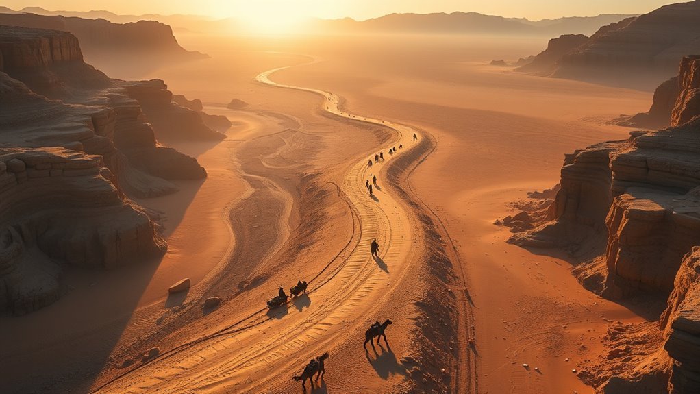
In one widely recognized reconstruction of Exodus geography (developed by biblical researchers such as Steven Rudd), the walked road covers roughly 700 kilometers (435 miles) from Goshen near Tell el-Dab’a (ancient Avaris/Rameses) to the destination of Mount Sinai.
By this detailed itinerary, the total journey to Sinai spanned 47 days. The initial phase required approximately 25 days to reach the edge of the Red Sea (Yam Suph), followed by an extended eight-day encampment near the crossing point, and subsequently another 14 to 22 days moving through desert terrain to Mount Sinai.
By this reconstruction, the initial journey from Goshen to Sinai took 47 days — not a direct sprint, but a highly strategic trek through unforgiving desert wilderness.
Along the way, this proposed itinerary accounts for eight days spent traveling through or camped in the Wilderness of Sin, where the biblical narrative records the introduction of daily manna. The distance traveled was directly impacted by geographic bottlenecks, available water sources, and periods of rest.
It is important to emphasize that this 700 km, 47-day figure represents a reconstructed walking route rather than a straight line. If measured point-to-point across modern topographical maps:
- Traditional Southern Sinai Route: Goshen to Jebel Musa measures approximately 380 kilometers (236 miles) in a direct line.
- Arabian / Trans-Gulf Route: Goshen to Jabal Maqla in Saudi Arabia measures approximately 411 kilometers (255 miles) in a direct line.
Pro Tip: When comparing Exodus distance figures across academic books or online studies, check whether the author is calculating direct line-of-sight distance or a actual walked path through mountain passes and wadis — that distinction accounts for the ~300 km difference across sources.
What Exodus Route Did Israel Likely Take?
According to Exodus 13:17–18, Israel departed Rameses but was intentionally routed away from the shortest road toward Canaan — the coastal highway known historically as the Way of the Philistines (or the Egyptian Ways of Horus). Instead, the biblical text describes God leading the people south-southeast through the wilderness.
Geographers and biblical scholars generally evaluate three primary candidate route models:
| Route Theory | Proposed Sea Crossing | Proposed Mount Sinai Location | Walked Distance Estimate |
|---|---|---|---|
| Traditional Southern Route | Bitter Lakes or Gulf of Suez | Jebel Musa (St. Catherine, Egypt) | ~380–450 km (236–280 mi) |
| Central / Northern Route | Lake Timsah or Sirbonis | Mount Karkom or Har Karkom | ~300–350 km (186–217 mi) |
| Arabian / Nuweiba Crossing Route | Gulf of Aqaba (Nuweiba Beach) | Jabal Maqla / Jabal al-Lawz (Saudi Arabia) | ~700 km (435 mi) |
Exodus 13:21–22 notes that the journey was directed continuously by a pillar of cloud by day and a pillar of fire by night, emphasizing that movement was governed by divine navigation rather than standard commercial travel routes.
Note: The exact location of Mount Sinai has been debated for centuries. The traditional site in Egypt’s southern Sinai Peninsula remains the most widely accepted in historical tradition, while some modern researchers favor candidate sites in ancient Midian (northwest Saudi Arabia). Neither location has been verified with absolute archaeological certainty.
Miles Traveled & Key Encampment Stations
Tracing the proposed 700 km route stop by stop clarifies how the 47-day timeline unfolds across the landscape:
- Succoth (Day 1–9): The first major assembly waypoint after departing Rameses/Goshen, marking the transition into the border wilderness.
- Etham & Pi-Hahiroth (Day 10–24): Encampments along the edge of the wilderness before turning toward the Red Sea crossing point.
- Red Sea Crossing (Day 25): Reached on or around Day 25, followed by roughly 8 days camped nearby while Pharaoh’s forces approached and the crossing transpired.
- Marah & Elim (Day 34–37): The initial travel through the Wilderness of Shur, including the sweetening of bitter waters at Marah and rest at Elim’s 12 water springs and 70 palm trees.
- Wilderness of Sin (Day 38–42): A key desert corridor reached roughly one month after leaving Egypt, where manna and quail were first provided.
- Rephidim (Day 43–46): Severe water shortages prompted the striking of the rock at Horeb and a defensive battle against the Amalekites.
- Mount Sinai / Horeb (Day 47): Arrival at the base of the mountain, initiating an extended encampment lasting nearly a full year, during which the Law was delivered.
Following this initial leg to Sinai, the subsequent journey from Sinai to Kadesh Barnea involved roughly 11 more months of travel and encompassed over 20 additional encampment stations recorded in Numbers 33.
Why Wasn’t the Shortest Route Taken?
The direct northern highway from Egypt to the southern border of Canaan measures approximately 320 km (200 miles) and could typically be traversed on foot in under three weeks. However, Exodus 13:17 explicitly addresses why this route was avoided:
“When Pharaoh let the people go, God did not lead them on the road through the Philistine country, though that was shorter. For God said, ‘If they face war, they might change their minds and return to Egypt.'” (Exodus 13:17)
From an archaeological perspective, the northern coastal route was heavily guarded by Egyptian garrisons and fortresses during the New Kingdom period (the Ways of Horus). Throwing a newly liberated, untrained population directly into combat against fortified garrisons would have invited rapid military defeat or retreat.
Consequently, the longer desert trajectory served a dual purpose: avoiding immediate military conflict while establishing a crucial period of social, spiritual, and organizational formation in the wilderness.
How Long Did the Red Sea Crossing Take?
In this 700 km reconstruction, Israel arrived at the Red Sea crossing point around the 25th day of travel. Encarnpment near the water lasted approximately eight days as Egyptian chariot forces closed in from behind (Exodus 14:1–9).
The crossing itself is presented in the narrative as an overnight event rather than a multi-day trek:
- Approach: ~25 days of travel from Goshen to the sea’s edge.
- Encampment: ~8 days camped between Migdol and the sea.
- Crossing Duration: Executed in a single night (Exodus 14:21–22) as a strong east wind blew open a dry channel.
Caution on Pacing Calculations: Moving a massive population with livestock through narrow wadis naturally limits movement speeds. While total mileage averages suggest high daily rates during active travel, actual progress varied greatly depending on water availability, terrain bottlenecks, and livestock management.
How Fast Did the Israelites Travel?
To understand the daily pace of the Exodus, it is necessary to distinguish between overall average pace and active marching pace:
- Overall Timeline Average: Covering 700 km across 47 total days yields an overall average of 14.8 km (9.2 miles) per day. This figure accounts for rest days, Sabbath observations, and multi-day encampments at stops like Elim and the Red Sea.
- Active Marching Pace: Excluding non-travel days, active marching segments required covering roughly 30 to 38 km (18 to 24 miles) per travel day. Such speeds were necessary when moving between known desert oases before water supplies ran dry.
The guidance provided by the pillar of cloud and fire regulated when the group moved and when they rested, preventing exhaustion while navigating extreme desert temperatures.
How Did Desert Geography Shape the Route?
The physical topography of the Sinai Peninsula and surrounding desert regions dictated the possible avenues of movement for any large group:
- Mountainous Passes: Steep wadis and narrow rock passes forced single-column or narrow-rank marching, lengthening the column and slowing overall speed.
- Oasis Dependencies: Stopping points were entirely determined by water stations (such as Elim and Rephidim). Desert geography required long, rapid pushes between water sources.
- Natural Barriers: Mountain ranges and coastal waters directed the flow of traffic toward specific choke points.
- Military Avoidance: Mountainous wilderness paths kept the population hidden from major Egyptian mining operations and trade routes.
How Far Was Egypt From Sinai?
Direct point-to-point distances vary based on the specific location identified as Mount Sinai:
- To Traditional Sinai (Jebel Musa): Direct straight-line distance from Goshen is roughly 380 km (236 miles).
- To Arabian Sinai (Jabal Maqla): Direct straight-line distance across the Sinai Peninsula to northwest Saudi Arabia is roughly 411 km (255 miles).
Because the group traveled along a winding wilderness trajectory rather than a straight line, the reconstructed walked distance remains near 700 kilometers (435 miles).
What Does the Exodus Distance Mean Biblically?
Beyond the geographic mileage, biblical scholars and theological commentators emphasize that the length and difficulty of the route carry intentional thematic significance within the biblical narrative.
Biblical Journey Meaning
Each distinct segment of the route marks a critical stage of historical transformation:
- The Red Sea Crossing: Represents the absolute break from Egyptian jurisdiction and bondage.
- The Wilderness Trek: Serves as a testing ground for community building, faith, and reliance on daily divine provision.
- Mount Sinai Encampment: Transforms a group of newly liberated refugees into a covenant nation through the giving of the Law.
Distance And Divine Timing
The 47-day march to Mount Sinai demonstrates that the trajectory was governed by divine timing rather than physical speed. The subsequent 40-year wandering described in the Book of Numbers further reinforces this principle: the physical distance to the Promised Land was brief, but the cultural and spiritual transition required decades.
As Ecclesiastes 7:8 states, “The end of a matter is better than its beginning” — a reflection often connected to extended spiritual journeys.
Travel As Spiritual Growth
Key encampments along the Exodus route function as specific spiritual milestones:
- Manna at the Wilderness of Sin (Exodus 16): Teaches daily trust rather than commercial accumulation.
- Water at Rephidim (Exodus 17): Demonstrates divine preservation during physical crisis.
- Sustained Encampment at Sinai: Establishes ethical, legal, and spiritual foundations prior to entering Canaan.
Frequently Asked Questions
What was the distance of the Exodus route?
One prominent reconstruction puts the walked Exodus distance at roughly 700 km (435 miles) from Goshen to Mount Sinai, covered over 47 days. By contrast, the direct point-to-point straight-line distance across the peninsula is roughly 380–413 km (236–255 miles).
How many miles a day did the Israelites travel during the Exodus?
Across the overall 47-day timeline, the average pace was roughly 9.2 miles (14.8 km) per day, including rest days and encampments. However, on active marching days between water sources, speed estimates range between 18 to 24 miles (30–38 km) per day.
Why did the Exodus route take 40 years?
The initial march from Egypt to Mount Sinai took only 47 days. The subsequent 40-year duration described in Numbers was not due to geographic distance, but resulted from the decision at Kadesh Barnea following the report of the twelve spies, leading to a generation wandering in the wilderness prior to entering Canaan.
What two prophets never died according to the Bible?
According to the biblical text, Enoch (Genesis 5:24) and Elijah (2 Kings 2:11) were both taken by God without experiencing a natural physical death.
How many wives did Moses marry?
The biblical text records two wives: Zipporah, the Midianite daughter of Jethro (Exodus 2:21), and later a Cushite woman mentioned in Numbers 12:1.
Conclusion
Tracing the Exodus route involves reconciling ancient narrative records with topographical realities. The 700 km (435-mile), 47-day reconstruction remains one of the most thoroughly calculated models of the walked path, illustrating why a direct route was bypassed in favor of a protective wilderness detour. Ultimately, the biblical narrative treats the physical distance as secondary to the transformation that took place along the way: turning a fleeing population into a covenant community prepared for a new nationhood.
Sources
- Doubting Thomas Research Ministry — Spatial distance models, staging calculations, and terrain pacing analysis.
- eNotes Scholarly Reference — Coordinate-based geographic analysis comparing Goshen to southern Sinai peninsula candidates.
- Bible.ca (Steven Rudd, “Exodus Route Restored”) — Reconstructed 700 km / 47-day itinerary mapping and daily station breakdown.
