
Last Updated on July 29, 2026 by Ethan Caldwell
Planning the best driving route with multiple stops starts with more than dropping pins on a map. You need to choose the right stops, set a practical order, account for time at each location, and prepare for traffic, weather, fuel, tolls, and road restrictions. A clear plan saves backtracking while leaving enough flexibility for real-world delays.
Quick Answer
List every stop, rank time-sensitive destinations first, and use a multi-stop route planner to test the best order. Add realistic visit times and a delay buffer, then check traffic, weather, tolls, and vehicle restrictions. Save the route for offline access and use live navigation only when it is safe to do so.
Key Takeaways
- Choose the route objective first: shortest distance, earliest arrival, lower tolls, easier roads, or a balance of several goals.
- Use a dedicated route optimizer for many stops; use a navigation app for turn-by-turn directions and live traffic during the drive.
- Build fixed appointments, business hours, breaks, fuel stops, and realistic visit durations into the schedule.
- Check vehicle restrictions, construction, weather, parking, and legal overnight options before departure.
- Save and share the final plan without exposing private home, workplace, or customer information publicly.
At a Glance
| Time Required | About 20–45 minutes for a simple trip; longer for large delivery, sales, RV, or commercial-truck routes |
| Difficulty | Easy to moderate |
| Tools Needed | Address list, route planner, navigation app, vehicle information, calendar, and charger |
| Cost | Free for basic tools; specialized business, fleet, or commercial-vehicle plans may require a subscription |
Disclosure: As an Amazon Associate I earn from qualifying purchases. Some links on this page are affiliate links, at no extra cost to you.
Set Your Road Trip Priorities
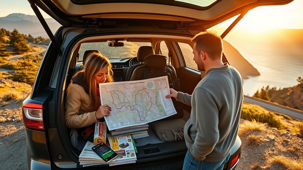
Begin by listing every destination you may want to visit. Separate the list into required stops, preferred stops, and optional stops. This prevents a minor attraction from pushing an appointment, reservation, or other time-sensitive destination off schedule.
Rank each stop using four questions:
- Is the stop required? Appointments, hotel check-ins, deliveries, and reserved activities usually come first.
- Does it have limited hours? A museum that closes at 4:00 p.m. may need to come before an always-open viewpoint.
- How long will the stop take? Include parking, walking, unloading, security, and restroom time.
- What happens if you arrive late? Add more protection around flights, medical visits, customer appointments, and prepaid reservations.
Decide what “best route” means for this trip. It may be the route with the shortest distance, earliest arrival, fewest tolls, easiest roads, lowest fuel use, or best scenery. The fastest route is not always the best choice if it adds difficult turns, expensive tolls, unreliable parking, or roads that do not suit your vehicle.
Pro Tip: Mark optional attractions separately. Add them only after the required route works, so they can be removed quickly if traffic or weather changes.
Choose a Route Planner
Choose the tool according to the number of stops, type of vehicle, and reason for the trip. A navigation app guides you from one point to the next. A route optimizer calculates a more efficient stop sequence. Fleet software can also assign drivers, track progress, manage delivery windows, and update customers.
| Tool | Current Capacity or Strength | Best Use |
|---|---|---|
| Google Maps | Up to nine stops, including the final destination | Small trips when you already have a practical stop order and want live navigation |
| RouteXL | Free routes with up to 20 stops under current fair-use terms | Personal trips and straightforward multi-stop route optimization |
| MyRouteOnline | Plan-dependent capacity reaching 1,000 addresses on its Business plan | Large address lists, repeat routes, and business routing |
| Badger Maps | Up to 120 optimized stops with field-sales and CRM features | Outside sales and field teams |
| Routific | Traffic-pattern-aware optimization, dispatch tools, tracking, and updated ETAs | Delivery operations with one or more drivers |
| Trucker Path | Routing based on truck height, weight, load type, and commercial restrictions | Commercial trucks rather than ordinary passenger-car trips |
Product limits, pricing, and plan features can change. Check the provider’s current documentation before importing a large address list or buying a subscription.
Note: Route optimization and live navigation are different jobs. A planner may calculate the stop order, while Google Maps, Apple Maps, Waze, or another navigation app provides turn-by-turn directions and live traffic updates between stops.
Add Multiple Stops
Collect the full street address for every stop before opening the planner. Include unit numbers, postal codes, entrance notes, parking instructions, and contact details when they matter. Clean data reduces failed searches and prevents the planner from selecting the wrong branch, entrance, or similarly named location.
Add Stops Efficiently
Enter a short list manually or import a spreadsheet when the planner supports it. Use one row per stop and separate fields for the address, visit duration, priority, and time window. Review every mapped pin before optimizing the route.
| Check | What to Confirm | Why It Matters |
|---|---|---|
| Address | Street, city, state, and postal code are complete | Prevents matches in the wrong city or region |
| Map pin | Pin is at the correct entrance or parking area | Avoids being sent to a rear gate or inaccessible road |
| Duplicates | The same destination was not entered twice | Prevents wasted mileage and confusing totals |
| Hours | Opening, appointment, check-in, or delivery times are current | Keeps an efficient route from arriving at a closed location |
Order Route Logically
Start with fixed commitments, then group nearby flexible stops. Consider the direction of travel, parking availability, one-way streets, school zones, bridge openings, ferries, and the side of the road where each entrance sits.
- Lock appointments and limited-hour stops first.
- Group nearby flexible stops into the same part of the day.
- Avoid crossing the same congested area more than once.
- Place fuel, charging, food, and restroom breaks where they fit naturally.
- Keep one optional stop that can be removed if the schedule slips.
Use the optimizer’s suggested sequence as a strong starting point, not an unquestionable command. Local access rules, difficult parking, temporary closures, and knowledge of the area may justify a manual change.
Optimize Travel Time
Run at least two versions of the route. Compare the shortest-distance option with the fastest-time option, then check tolls, road difficulty, and arrival reliability. A route that saves five miles may still take longer if it crosses a busy downtown area or requires several difficult left turns.
For a large route, test small changes instead of rebuilding everything at once. Moving one flexible stop to a different time block may reduce backtracking without affecting the rest of the schedule.
Set Stop Times and Time Windows
A route is only realistic when it includes the time spent outside the vehicle. Add parking, walking, unloading, check-in, service, meals, restrooms, and unexpected waiting time to each stop.
Set Stop Durations
Estimate each stop separately instead of applying one duration to the entire route. A quick fuel stop may take 10–15 minutes, while a meal, attraction, sales meeting, or service call may require much longer. Use your own past trips or business records when available.
- Include time to find parking.
- Include walking time from the vehicle.
- Allow for security desks, check-in lines, or loading docks.
- Add a meal or rest break before fatigue becomes a problem.
- Update future estimates when actual stops take longer or less time.
Define Time Windows
A time window is the period in which you can arrive, such as 9:00–10:00 a.m. Enter fixed windows first and protect them with a buffer. A 10–15% cushion can be a reasonable starting point for an ordinary trip, but it is not a universal rule. Increase the buffer for urban rush hour, severe weather, border crossings, major events, limited parking, or any stop where lateness has serious consequences.
| Stop | Arrival Window | Planned Visit | Protection |
|---|---|---|---|
| A | 8:00–9:00 a.m. | 30 minutes | Leave 15 minutes early |
| B | 9:30–10:30 a.m. | 45 minutes | Allow for downtown parking |
| C | Flexible | 20 minutes | Remove first if delayed |
| D | 1:00–2:00 p.m. | 60 minutes | Add lunch before arrival |
The Federal Highway Administration explains that reliable planning should consider how much travel time varies, not only the average drive time. Review recurring traffic for the same weekday and departure period when punctuality matters.
Prioritize Time-Sensitive Stops
Build the route around appointments, closing times, reservations, and delivery windows. Flexible sightseeing, shopping, or errands can fill the gaps around those fixed commitments.
- Mark each fixed stop as high priority.
- Schedule the tightest window before flexible stops.
- Include parking and check-in time before the official appointment.
- Share a realistic ETA when another person is waiting.
- Contact the destination early if a major delay makes the window impossible.
Avoid Traffic and Peak Hours
Check typical traffic for the day and time of travel, then review live conditions shortly before departure. Rush hours vary by city, weekday, school schedule, weather, construction, and special events, so do not rely on one universal morning or evening range.
When the schedule is flexible, move a trip to a quieter departure period. The Federal Highway Administration notes that travelers can reduce exposure to congestion by shifting departure times and using current travel information.
Also check state or regional 511 services, transportation-department alerts, weather warnings, and official closure notices. A navigation app may not immediately reflect a newly closed park road, mountain pass, construction entrance, or local evacuation order.
Plan the Fastest Driving Route
Compare the route’s distance, estimated time, tolls, road type, and reliability before choosing it. The shortest route may use slow local streets, while the fastest route may add mileage or tolls. Select the option that best matches your priorities and vehicle.
- Compare total drive time and total distance.
- Review toll roads, ferries, and restricted lanes.
- Check accident, construction, and weather delays.
- Look for difficult turns, unpaved roads, and mountain grades.
- Confirm that fuel, charging, meals, and rest breaks are included.
- Keep scenic detours optional unless they are a main purpose of the trip.
The best route is not always the one with the fewest miles. It is the route that meets your deadlines without creating avoidable cost, stress, or safety problems.
Account for Vehicle Restrictions and Trip Costs
Enter or review vehicle limits before accepting a route. This is especially important for commercial trucks, RVs, trailers, oversized vans, and vehicles carrying hazardous or unusually heavy loads.
- Vehicle height and low-clearance bridges
- Gross weight, axle limits, and weight-restricted roads
- Vehicle length, trailer length, and tight turns
- Hazardous-material restrictions
- Seasonal roads, unpaved roads, and steep grades
- Propane restrictions in tunnels or enclosed facilities
- Tolls that vary by axle count or vehicle class
Warning: Never rely on a consumer navigation app as the only authority for a commercial truck, RV, trailer, or restricted load. Posted signs, permits, official closure notices, and legal vehicle restrictions always take priority over an app.
Estimate the trip budget before departure. Include fuel or charging, tolls, parking, ferries, meals, admission fees, and lodging.
For a gasoline or diesel vehicle, use this formula:
Estimated fuel cost = (total route miles ÷ actual miles per gallon) × fuel price per gallon
For example, a 600-mile trip in a vehicle averaging 30 mpg uses about 20 gallons. At $3.50 per gallon, the estimated fuel cost is $70. The official FuelEconomy.gov Trip Calculator can help compare vehicles and fuel-price assumptions.
Adjust Your Route in Real Time
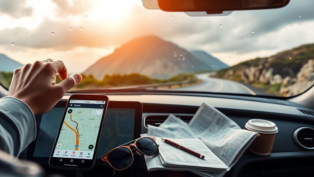
Keep turn-by-turn navigation available during the drive so it can warn you about congestion, crashes, or closures. Review the route before leaving and mount the device where it does not block your view.
When a detour appears, check more than the new ETA. Make sure the alternate road is suitable for your vehicle and does not conflict with a closure, local restriction, unsafe weather condition, or planned stop.
Warning: Do not type, drag stops, or compare routes while driving. Let a passenger make the change, use hands-free guidance where legal, or pull over in a safe location before editing the route.
If the revised route makes a scheduled stop impossible, update the affected person or business as soon as it is safe. Remove an optional stop rather than trying to recover time by speeding, skipping needed breaks, or accepting an unsuitable road.
Save and Share Your Route
Save the final route before departure and keep a backup that does not depend on continuous cellular service. Depending on the platform, you may be able to download an offline map, email directions, print the stop list, export a route, or send it to another device.
- Save the ordered stop list and key addresses.
- Download offline maps for weak-coverage areas.
- Keep reservation numbers and contact details outside the map app.
- Send the route and expected arrival time to a trusted person.
- Tell group members which stops are optional.
- Carry a charger and, for a long trip, a power bank or vehicle adapter.
Review privacy settings before sharing. A route may reveal a home address, workplace, customer list, travel dates, or an unattended property. Share it only with people who need it, and avoid posting the full route publicly.
Troubleshoot Common Route-Planning Problems
The Planner Maps the Wrong Location
Add the postal code, business name, suite number, or latitude and longitude. Zoom in and move the pin only after confirming the correct entrance. For parks, campuses, hospitals, and large venues, the mailing address may not be the best driving entrance.
The Route Keeps Backtracking
Check for fixed time windows that force the route out of geographic order. Also look for duplicate addresses, an incorrect starting point, or a required end location. Test the route without flexible stops, then add them back one at a time.
The Estimated Times Look Unrealistic
Confirm the departure date and time, visit durations, time zone, traffic settings, and vehicle type. Add parking and walking time manually. A route planner can estimate road travel, but it may not know that a destination has a long security line or remote parking lot.
The Suggested Detour Looks Impractical
Stay on the current legal route until you can review the change safely. Check official road alerts and vehicle restrictions. An app may value a small time saving more than road width, surface quality, difficult turns, or local access conditions.
There Is No Cellular Service
Use downloaded offline maps, saved screenshots, printed directions, or a written stop list. Mark the next fuel or charging location before entering a remote area, and do not assume every rural destination will have service.
Prepare Your Vehicle and Emergency Supplies
Before a long trip, check tire pressure and condition, fluids, lights, wipers, battery, brakes, and the spare-tire or inflator system. Review the owner’s manual before using unfamiliar driver-assistance or towing features.
The National Highway Traffic Safety Administration recommends carrying a roadside emergency kit. Useful items include:
- Cell phone and charger
- First-aid kit and necessary medicines
- Flashlight
- Reflective triangles, flares, or another legal warning device
- Jumper cables
- Tire-pressure gauge and suitable tire-changing equipment
- Drinking water and nonperishable food
- Work gloves, basic tools, and weather-appropriate clothing
- Emergency blanket
- Paper map or offline route backup
Adjust the kit for heat, winter weather, remote roads, children, pets, and the medical needs of everyone traveling.
Frequently Asked Questions
What Should I Pack for a Long Road Trip?
Pack clothing, toiletries, medicines, identification, reservation details, chargers, water, food, and entertainment. Keep an emergency kit with a first-aid kit, flashlight, warning devices, jumper cables, blanket, tire equipment, paper map, and weather-specific supplies where you can reach it.
How Do I Estimate Fuel Costs Accurately?
Divide the trip’s total miles by your vehicle’s actual mpg, then multiply the gallons needed by the expected price per gallon. For a 600-mile trip at 30 mpg, you need about 20 gallons. At $3.50 per gallon, the estimated fuel cost is $70. Add idling, detours, towing, terrain, and weather when they may reduce fuel economy.
What Are the Best Apps for Finding Roadside Attractions?
Google Maps can locate attractions near the route, while Roadside America and Atlas Obscura focus on unusual landmarks and lesser-known places. Save possible stops as optional until you verify current opening hours, admission rules, parking, accessibility, and the actual detour time.
How Can I Find Safe Overnight Parking Spots?
Use official campground, rest-area, truck-stop, municipal, or property listings and check current rules for the exact location. A business being open 24 hours does not automatically permit overnight parking. Obtain permission when required, read posted signs, check recent reviews, keep a backup location, and leave if the area feels unsafe.
What Emergency Supplies Should Every Driver Carry?
Carry a charged phone, vehicle charger, first-aid kit, flashlight, warning triangles or other legal warning devices, jumper cables, drinking water, nonperishable food, blanket, tire-pressure gauge, suitable tire equipment, work gloves, basic tools, and necessary medicines. Add seasonal supplies for extreme heat, snow, ice, or remote travel.
How Many Stops Can I Add in Google Maps?
Google Maps currently allows up to nine stops, including the final destination. It works well for smaller trips when you already know a practical sequence. For larger lists or automatic stop-order optimization, use a dedicated multi-stop route planner and then transfer the route to your preferred navigation app.
Can I Rely on GPS Alone for a Long Trip?
No. Review the route before departure, download offline maps, save the stop list, and check official road and weather alerts. GPS data can be delayed, and a suggested road may be closed, restricted, unsuitable for your vehicle, or inaccessible because of local conditions.
Conclusion
A strong multi-stop route balances efficiency with reliability. Start with required destinations, verify every address, set realistic visit times, and use the right planner for the number of stops and type of vehicle. Check traffic, weather, restrictions, fuel, tolls, and parking before leaving. Once you are on the road, use live navigation safely and keep optional stops flexible when conditions change.
Sources
- Google Maps Help: Get Directions and Add Multiple Destinations — supports the current Google Maps stop limit and multi-destination process.
- RouteXL FAQ — supports its current free-route stop limit.
- Trucker Path Truck GPS — supports commercial-vehicle routing and restriction features.
- Federal Highway Administration: Travel Time Reliability — supports using route-specific buffer time and reliability rather than average travel time alone.
- NHTSA Summer Driving Tips — supports pre-trip checks, route review, and emergency-kit recommendations.
- FuelEconomy.gov Trip Calculator — supports estimating trip fuel use and cost from distance, fuel economy, and fuel price.
