

Last Updated on July 28, 2026 by Ethan Caldwell
Planning the best route is about more than choosing the shortest line on a map. Compare the estimated travel time, traffic, tolls, road conditions, stops, and vehicle limits before you leave. Then keep the plan flexible. A route that works at noon may be a poor choice during a storm, rush-hour slowdown, or road closure.
Quick Answer
Choose the best route by comparing travel time, traffic, tolls, stops, weather, and vehicle restrictions—not distance alone. Enter every fixed appointment first, group nearby stops, allow extra time for likely delays, and check live road information just before departure. During the trip, follow signs and reroute only when it is safe.
Key Takeaways
- Compare estimated time, reliability, tolls, fuel or charging needs, and road type before choosing a route.
- Put time-sensitive stops first, then group the remaining stops by area to reduce backtracking.
- Check live traffic, weather, closures, and event traffic shortly before leaving.
- Set up navigation while parked, obey road signs, and use vehicle-specific guidance when height or weight limits matter.
At a Glance
| Time Required | About 10–20 minutes for a simple trip; longer for many stops or remote travel |
| Difficulty | Easy for one destination; moderate for time windows, deliveries, or special vehicles |
| Tools Needed | Navigation app, destination list, schedule, weather forecast, and state or local road-condition service |
| Cost | Usually $0 with a free app; mobile data, tolls, parking, fuel, and charging are separate |
Disclosure: As an Amazon Associate I earn from qualifying purchases. Some links on this page are affiliate links, at no extra cost to you.
Choose the Best Route by Time and Distance
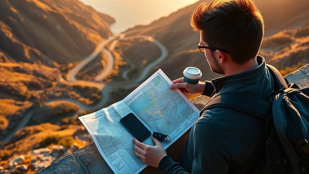
Start by comparing the estimated time for each available route. A shorter route may use slower city streets, frequent traffic lights, or busy intersections. A longer highway route may be faster and easier to follow, but it may include tolls or add more miles.
Google Maps can show alternate routes, estimated travel times, toll information in supported areas, and multiple destinations. Treat those estimates as planning tools rather than promises. Traffic, weather, crashes, construction, and long stops can change the result.
- Choose the fastest practical route when you have an appointment or fixed arrival time.
- Choose the simplest route when unfamiliar roads, difficult turns, or night driving would add stress.
- Choose the lowest-cost route when avoiding tolls or reducing fuel use matters more than a small time saving.
- Choose a scenic route only when the road, daylight, weather, and schedule support it.
The best route is not always the shortest one. It is the route that meets your schedule without adding avoidable cost, risk, or stress.
Use GPS and Mapping Apps
Navigation apps are most useful when you set them up before moving. Enter the correct destination, review the full route, compare alternatives, and check whether the app is set to avoid tolls, highways, or ferries. If you have several destinations, add them all and place them in a sensible order.
Google Maps provides ETAs, traffic reports, and crash information for saved trips. Waze also provides route choices and traffic-based planning. These tools can react to changing conditions, but their suggestions may still be incomplete or wrong.
- Confirm the destination pin, entrance, parking area, or loading dock.
- Review the first and last few turns before departure.
- Turn on voice guidance so you do not need to keep looking at the screen.
- Keep the phone mounted where it does not block your view.
- Save or download the route area when cell service may be weak.
Warning: Do not type, scroll, or study alternate routes while driving. The National Highway Traffic Safety Administration includes interacting with a navigation system among activities that can take attention away from safe driving. Pull over and park, or ask a passenger to make the change.
Plan Around Traffic and Peak Hours
Traffic patterns vary by city, road, weekday, season, school schedule, and local events. A fixed rule such as “rush hour is always 7–9 AM and 4–6 PM” is too broad. Use the route’s own traffic history and current reports instead.
For a future trip, set a planned departure or arrival time. Waze lets users schedule a drive for a future arrival time, while Google Maps supports departure or arrival-time planning for eligible routes. Check again shortly before leaving because an old estimate will not reflect a new crash, closure, or storm.
- Look for recurring school, commuter, bridge, tunnel, or downtown bottlenecks.
- Check stadium, concert, convention, parade, and festival schedules.
- Allow extra time near airports, ports, border crossings, and major construction zones.
- Use a state or local 511 service for official road and closure information where available.
Pro Tip: Compare the same route at two or three possible departure times. A small schedule change can sometimes save more time than choosing a complicated shortcut.
Balance Distance, Time, and Stops
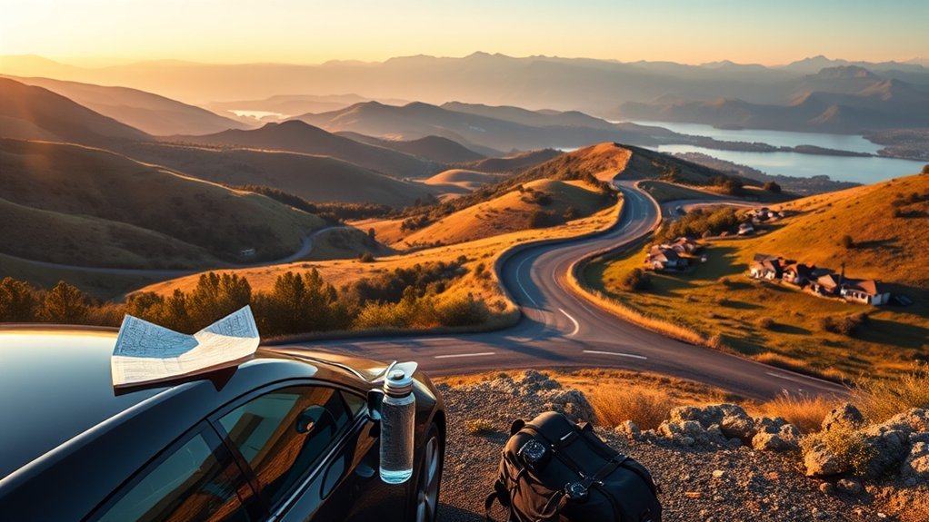
Each stop changes the route. It adds driving time, parking time, walking time, and the time spent at the location. Before you compare routes, estimate the full stop duration—not only the minutes shown between addresses.
Distance vs. Time
Use both distance and travel time when comparing options. The fastest route may cost more in tolls or fuel. The shortest route may be slower because of traffic lights, lower speed limits, or difficult turns. A route that is only a few minutes longer may be more reliable and easier to drive.
- Compare the ETA, total miles, tolls, and road type.
- Check whether the route stays on major roads or cuts through local streets.
- Consider parking and walking time at the destination.
- Choose a route that leaves a reasonable arrival margin.
Smart Stop Sequencing
Start with fixed constraints. Put appointments, reservations, school pickup times, delivery windows, and closing times on the schedule first. Then arrange flexible stops around them.
For stops without strict time windows, group nearby locations and move steadily through one area before crossing town. Do not assume that the order in which you entered stops is the best order. Compare at least one alternate sequence, especially when the route crosses the same road more than once.
Buffer for Delays
There is no universal delay buffer that fits every trip. Add time according to the likely problems on your route. A familiar ten-minute drive may need only a small margin. A trip involving an airport, severe weather, mountain roads, a border crossing, or several appointments needs more.
- Add realistic parking and walking time for every stop.
- Add more time for unfamiliar areas, roadwork, or bad weather.
- Use a larger margin when missing the arrival time has serious consequences.
- Recheck the ETA shortly before departure.
Organize Multi-Stop Routes Efficiently
A good multi-stop route reduces repeated travel while respecting every deadline. Begin with a clean list that includes each address, time window, expected stop length, and any parking or access note.
Prioritize Stop Order
Sort stops into three groups: fixed-time stops, high-priority flexible stops, and optional stops. Place fixed-time stops first. Then group the others by neighborhood or direction of travel.
- Schedule pickups before related drop-offs.
- Visit places with early closing times before all-day locations.
- Avoid crossing the same congested area more than once.
- Leave optional stops until the end so they can be skipped without breaking the route.
Use Route Optimization
For a few stops, a standard mapping app may be enough. Google Maps allows users to add and reorder multiple destinations. For a large delivery, service, or sales route, a dedicated route optimizer may be more practical because it can compare many stop sequences and time windows.
Whatever tool you use, check the result. An automatically generated route may send you to the wrong entrance, place a stop outside its business hours, or choose a road that is unsuitable for your vehicle.
Minimize Backtracking
Look at the route as a whole before you leave. Long crossing lines, repeated turns through the same neighborhood, and a return to an earlier area are signs that the stop order may need work.
- Cluster stops that are close together.
- Move in one general direction when possible.
- Account for one-way streets, bridges, rivers, and limited crossings.
- Compare the planned route with actual results after the trip.
Adjust Routes in Real Time
Live navigation can suggest a new route after a crash, closure, or slowdown. Before accepting it, glance at the added distance, road type, tolls, and arrival time. A reroute that saves one or two minutes may not be worth a confusing series of local turns.
The Federal Highway Administration explains that 511 traveler information can help people choose their travel time, mode, and route. Use official state or local sources when conditions are serious, especially during winter weather, wildfire closures, flooding, or major construction.
- Accept a reroute when the original road is closed or badly delayed.
- Keep the current route when the time saving is tiny and the alternate road is less suitable.
- Pull over before making a manual change.
- Tell travel companions or customers when the new ETA changes plans.
Match Routes to Your Travel Type

The best route depends on the purpose of the trip. A commuter, tourist, delivery driver, RV owner, and electric-vehicle driver may choose different roads between the same two places.
Trip Type Matters
- Business or appointment: favor reliability, simple turns, parking, and an early arrival.
- Leisure road trip: include scenic roads, viewpoints, food, restrooms, and enough daylight.
- Delivery or service route: focus on stop order, access instructions, loading areas, and time windows.
- Family trip: plan restrooms, meals, breaks, and stops that match the passengers’ needs.
- EV trip: plan charging stops with a backup charger and enough battery margin.
- RV, truck, bus, or trailer: check height, weight, length, grades, propane restrictions, and parking access.
Route Tools and Timing
Match the tool to the task. A consumer navigation app is usually enough for a passenger car. A commercial vehicle needs a system designed for its limits. The Federal Motor Carrier Safety Administration advises truck and bus drivers to use navigation intended for their vehicle type, enter relevant vehicle information, and always obey signs and advisories.
Note: Do not assume that a standard car-navigation app knows your vehicle’s height, weight, turning radius, or hazardous-material restrictions. Road signs and official restrictions take priority over the app.
Flexibility for Each Journey
Build flexibility where it helps rather than leaving the entire day unplanned. Keep optional attractions, meal stops, and scenic detours movable, but protect reservations, daylight limits, and safety needs. A flexible plan is easier to repair when traffic or weather changes.
Plan Fuel, Charging, Tolls, and Rest Stops
A route is not complete until it covers the practical needs between the start and destination. Check the distance between fuel stations or chargers, especially in rural areas. Note toll roads, parking fees, ferry schedules, and places where you can stop safely.
- Refuel or charge before entering a remote area.
- Choose a backup fuel station or charger in case the first is closed or busy.
- Check toll-payment rules and whether cashless tolling is used.
- Plan rest breaks before fatigue becomes a problem.
- Confirm that rest areas, restaurants, and attractions are open at your expected arrival time.
For a long trip, calculate the day in sections rather than treating it as one continuous drive. A realistic plan includes meals, restrooms, stretching, driver changes, and delays—not only wheel time.
Prepare for Weather, No Signal, and Emergencies
Check the forecast and road conditions before departure. The National Weather Service links to current road-condition resources for each U.S. state. When severe weather is expected, the safest route may be a later departure, a main highway with services, or no trip at all.
- Download an offline map for areas with weak service.
- Save the destination address and key phone numbers outside the navigation app.
- Carry a charging cable or power bank.
- Keep water and basic emergency supplies in the vehicle.
- Tell someone your route when traveling through remote areas.
Pro Tip: Download the map area and take a screenshot of the route overview before leaving. The screenshot will not provide turn-by-turn guidance, but it can help you keep your general direction if service drops.
Plan a Route That Fits Your Schedule
Work backward from the time you must arrive. Subtract the expected driving time, stop durations, parking and walking time, and a delay margin based on the route. That gives you a realistic departure time.
- List every destination with its full address and access notes.
- Add fixed times such as appointments, reservations, and closing hours.
- Estimate each stop from arrival through departure.
- Compare routes for time, distance, tolls, road type, and current conditions.
- Order the stops to meet deadlines and reduce backtracking.
- Add practical stops for fuel, charging, food, restrooms, and rest.
- Save a backup such as an alternate route or offline map.
- Check again before leaving and make only safe changes during the trip.
Avoid Common Route Planning Mistakes
Most route problems come from incomplete information rather than bad directions. Avoid these common mistakes:
- Choosing distance alone: the shortest route may be slower, harder, or more expensive.
- Using one universal rush-hour rule: traffic peaks differ by place and day.
- Ignoring stop duration: parking, walking, loading, and waiting can exceed drive time.
- Trusting automatic stop order: review the sequence and time windows yourself.
- Skipping weather and closures: live traffic is not the same as an official hazard or road-condition report.
- Assuming the app knows the vehicle: passenger-car routes may be unsafe or illegal for larger vehicles.
- Changing the route while moving: pull over or let a passenger handle the device.
- Planning to arrive exactly on time: leave a margin when the arrival matters.
Stay Flexible When Plans Change
A route is a working plan, not a rule. When traffic, weather, a late stop, or a closure changes the day, protect the most important goal first. Skip an optional stop, move a meal, choose the simpler alternate road, or contact the destination with a revised ETA.
Flexibility does not mean following every suggested detour. Keep the wider trip in mind. A safe, clear route that arrives a few minutes later is often better than a confusing shortcut.
Frequently Asked Questions
Can ChatGPT optimize routes?
ChatGPT can help organize a supplied list of stops, compare priorities, and build a planning checklist. When web search is available, it may also find current public information. However, it is not a substitute for a turn-by-turn navigation app, official closure data, or a commercial vehicle-routing system. Verify the final route in a current mapping tool.
How do I improve my routing?
Record the planned route, departure time, stop order, and actual arrival times. After the trip, note where you lost time. Improve the next route by changing the stop order, allowing more time at slow locations, or avoiding a recurring bottleneck.
What is the hardest type of route to plan?
Routes become hardest when several limits overlap, such as tight appointment windows, heavy traffic, uncertain weather, restricted roads, and many stops. Fix the non-negotiable constraints first, keep optional stops flexible, and prepare at least one backup route.
Is route planning a skill?
Yes. Route planning improves with practice because you learn to estimate stop times, read traffic patterns, spot backtracking, and prepare for delays. Reviewing actual trip results is one of the fastest ways to improve.
Should I choose the shortest or fastest route?
Choose the route that best fits the trip. The fastest route is useful for a deadline, while the shortest may reduce miles. Also compare tolls, road type, reliability, weather, vehicle limits, and how difficult the route will be to follow.
What should I do if I lose cell service?
Use a map downloaded before the trip, continue on the planned main road when safe, and avoid guessing on unfamiliar backroads. Pull over in a safe place if you need to study the map. Keep the destination address and an emergency contact available outside the app.
Conclusion
The best route fits your schedule, vehicle, budget, and comfort level. Compare time and distance, order stops carefully, check traffic and weather, and plan fuel or charging before you leave. Then stay flexible. A route that is safe, clear, and reliable is usually a better choice than a fragile plan built around the shortest possible ETA.
Sources
- Google Maps Help: Get directions and show routes — alternate routes, travel-time estimates, route options, and multiple destinations.
- Waze Help: Plan a drive — scheduling a future drive and planning around an arrival time.
- Federal Highway Administration: About 511 — official traveler information for route, time, and travel-condition decisions.
- National Highway Traffic Safety Administration: Distracted Driving — safe use of phones and navigation systems while driving.
- Federal Motor Carrier Safety Administration: Safe GPS Use — vehicle-specific navigation and obedience to road restrictions.
- National Weather Service: United States Road Conditions — links to state road-condition services.
