
Last Updated on September 11, 2026 by Daniel Globe
Water leaving Lake Itasca takes about three months to travel down the Mississippi River to the Gulf of Mexico, according to the National Park Service. That is a useful benchmark, not an exact stopwatch reading. River speed changes with water level, channel shape, tributary inflow, navigation structures, and other conditions along the roughly 2,300-plus-mile journey.
Quick Answer
Water from the Mississippi River’s headwaters at Lake Itasca takes about three months, or roughly 90 days, to reach the Gulf of Mexico. The National Park Service uses this as a general travel-time estimate. Actual water movement is not constant because velocity changes considerably from one section of the river to another.
Key Takeaways
- The best-supported general estimate is about three months from Lake Itasca to the Gulf.
- The Mississippi does not flow at one constant speed from source to mouth.
- The familiar 29-lock-and-dam figure refers to the Upper Mississippi navigation system, not 29 flood-control reservoirs spread evenly along the whole river.
- Tributaries can increase discharge and alter velocity; they do not automatically slow the river.
- Published river-length figures differ slightly because channels change and agencies use different measurement methods.
Disclosure: As an Amazon Associate I earn from qualifying purchases. Some links on this page are affiliate links, at no extra cost to you.
How Long Does Water Take to Travel the Mississippi River?
The most defensible answer is about three months. The National Park Service says water leaving Lake Itasca takes approximately that long to reach the Gulf of Mexico.
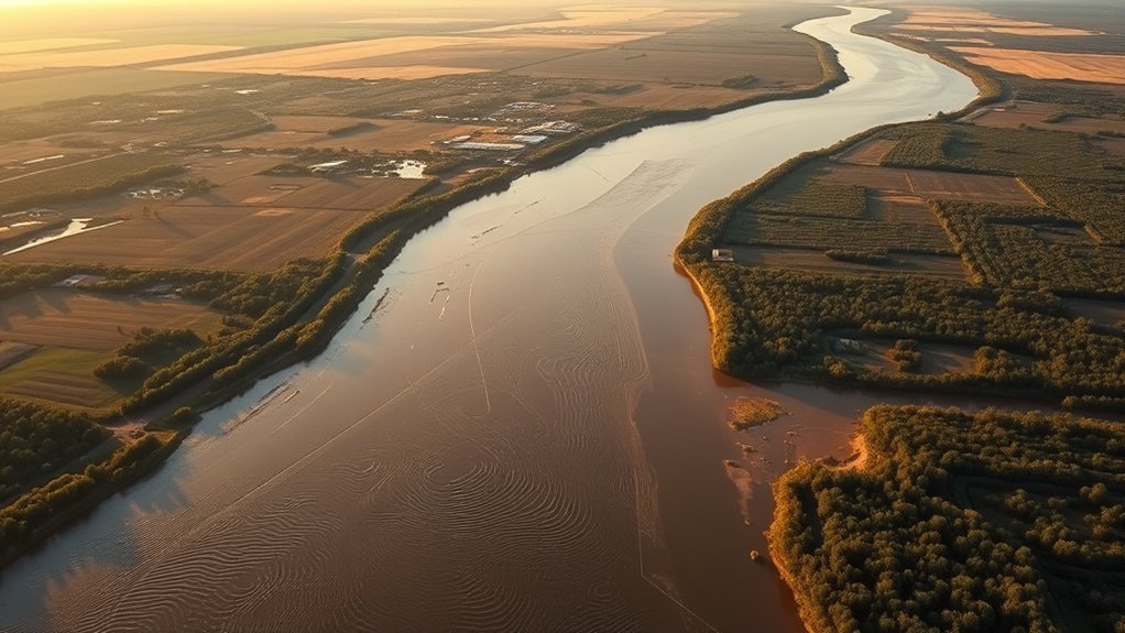
The Mississippi is commonly described as roughly 2,300 to 2,350 miles long. The National Park Service currently uses about 2,350 miles, while other published measurements differ slightly. River length is not perfectly fixed because channels shift, delta areas change, and measurement methods vary.
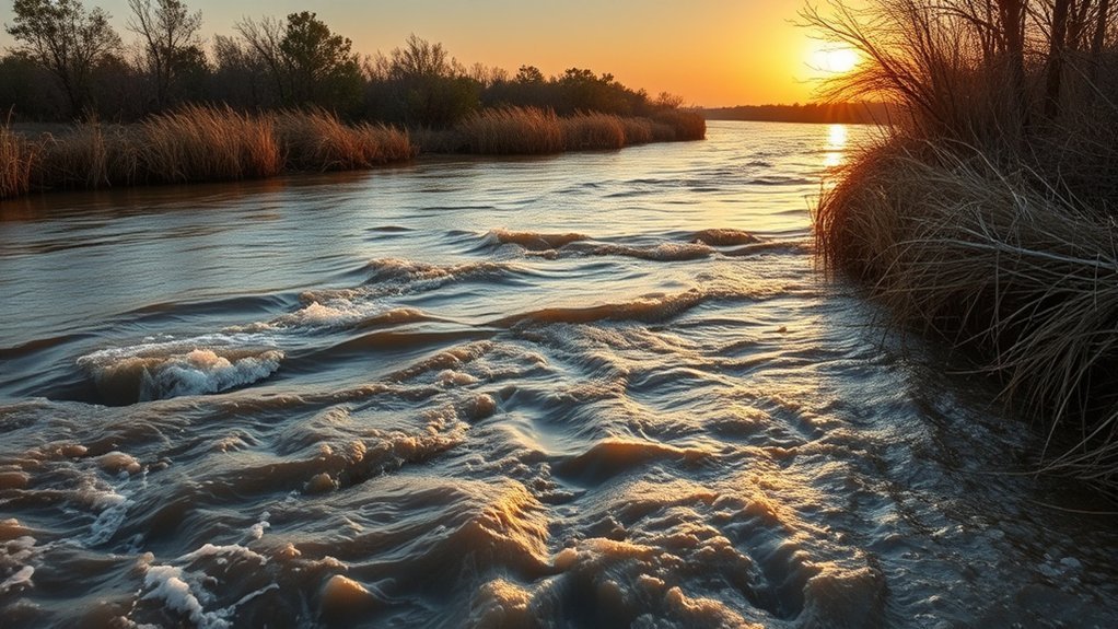
Do not interpret the three-month figure as meaning every parcel of water travels downstream at one constant speed. Surface water near the headwaters can move at around 1.2 miles per hour, while the National Park Service reports approximately 3 miles per hour near New Orleans. Conditions between those points vary considerably.
About three months is the useful source-to-Gulf benchmark, but Mississippi River velocity changes throughout the journey.
Why It Takes About 90 Days
The Mississippi’s great length is only part of the explanation. Water moves through narrow headwater channels, wider navigation pools, major confluences, bends, floodplain reaches, and the much larger Lower Mississippi. Flow conditions also change with rainfall, snowmelt, drought, and seasonal changes in discharge.
That is why the three-month figure works best as a broad hydrologic estimate rather than an exact travel schedule.
River Length And Speed
The Mississippi begins as a small stream at Lake Itasca and grows dramatically as tributaries add water from a drainage basin covering a large portion of the central United States. Although its commonly cited length is around 2,350 miles, speed is not uniform along those miles.
Near the headwaters, Minnesota DNR describes the first stretch as a slow-moving stream, and the National Park Service reports a surface speed around 1.2 miles per hour. Near New Orleans, NPS gives a figure of roughly 3 miles per hour. Neither number should be treated as the average velocity of the entire river.
Note: Dividing 2,350 miles by 90 days produces an effective end-to-end pace of about 26 miles per day, but that calculation is not the same thing as measuring the river’s actual average flow velocity.
Flow Factors, Locks, and Dams
Several factors can change how quickly water progresses downstream:
- Water level and discharge: High-flow and low-flow conditions change velocity and channel behavior.
- Channel width and depth: Water does not move at the same speed through every river shape.
- Tributaries: Incoming rivers add water and can change depth, discharge, turbulence, and downstream velocity.
- Navigation pools: Upper Mississippi locks and dams create slack-water pools during low and moderate flows so vessels have adequate navigation depth.
- Bends, islands, backwaters, and floodplains: The river contains many pathways and zones where movement differs from the main navigation channel.
The 29-lock-and-dam system commonly associated with the Mississippi belongs to the Upper Mississippi navigation system. These structures were built primarily to maintain a navigable channel, not to function as flood-control reservoirs.
Where the Mississippi River Begins
The recognized headwaters of the Mississippi River are at Lake Itasca in northern Minnesota. The river starts surprisingly small: Minnesota DNR describes it at the headwaters as roughly 18 feet wide and shallow enough for visitors to wade across.
The river also does not immediately head south. From Lake Itasca it first flows north toward Bemidji, later turns east, and eventually begins its long southward course.
Lake Itasca Source
Lake Itasca is a relatively small glacial lake compared with the enormous river system it feeds. Minnesota DNR park planning information places its surface area at roughly 1,100 acres, with an average depth around 14 feet and a maximum depth around 40 feet.
- Recognized source of the Mississippi River
- Located in Itasca State Park, Minnesota
- Roughly 1,100 acres in area
- Relatively shallow compared with many large lakes
- Feeds a narrow, winding headwater stream
Headwaters Debate
Lake Itasca is the established and recognized source of the Mississippi River, although the history of identifying the river’s most distant headwater involved debate over feeder lakes and streams.
This distinction matters because a river’s “source” can be defined in more than one way. A traditional or officially recognized source may differ from the most distant drop of water connected to the drainage network. For ordinary geographic and travel-time discussions, Lake Itasca is the accepted starting point.
North Side Exit
The Mississippi begins where water leaves Lake Itasca through its northern outlet. Minnesota DNR describes the headwaters as a shallow channel that visitors can cross near the well-known rocks marking the transition from lake to river.
- The outlet is at the northern end of Lake Itasca.
- The initial river is narrow and shallow.
- The first stretch meanders through a forest-and-wetland landscape.
- Warm-season flow through the first half-mile is around 1.2 miles per hour according to Minnesota DNR.
- The river initially travels north before eventually turning south.
From this modest beginning, the channel eventually becomes one of North America’s largest and most economically important river systems.
How Lake Itasca Starts the Journey
Lake Itasca acts as the recognized starting point for the Mississippi’s long journey. At the outlet, water enters a narrow channel rather than the broad river many people picture when they think of the Mississippi.
The early river winds through northern Minnesota and passes through lakes, wetlands, forested areas, and small channels before becoming progressively larger. Minnesota DNR notes that the Mississippi travels hundreds of miles within Minnesota alone before leaving the state.
This headwater geography helps explain why an end-to-end travel calculation cannot be based on one simple river speed. The Mississippi changes dramatically between its small northern source and its huge lower reaches.
Where the Mississippi River Ends
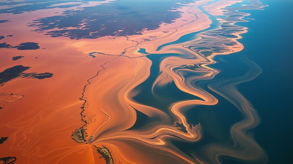
The Mississippi ultimately reaches coastal Louisiana and discharges into the Gulf of Mexico through its delta system south of New Orleans. By this point, the river is vastly larger than the shallow stream leaving Lake Itasca.
- The river enters the Gulf through coastal Louisiana.
- Freshwater mixes with saltier Gulf water near the river mouth.
- The river transports sediment, nutrients, and organic material downstream.
- Delta channels, wetlands, levees, and engineered waterways influence where water and sediment move.
- River discharge affects coastal salinity, sediment plumes, fisheries, and other Gulf ecosystems.
The Mississippi Delta is not a simple point where a river suddenly stops. It is a complex river-and-coast system. Sediment carried downstream can be deposited near the river mouth or transported into Gulf waters. Modern levees and channel engineering also direct much of the river’s water and sediment offshore rather than allowing it to spread naturally across all surrounding wetlands.
How Dams and Tributaries Change the River’s Flow
Dams and tributaries both affect Mississippi River hydraulics, but they do so in different ways. It is inaccurate to assume that both simply slow the river.
| Factor | Typical Effect |
|---|---|
| Navigation dams | Create and regulate navigation pools during low and moderate flows. |
| High river stages | Movable navigation-dam gates may be raised so the river can flow more freely. |
| Tributaries | Add water and alter discharge, depth, turbulence, and sometimes velocity. |
| Confluences | Mix flows with different velocities, sediment loads, and water characteristics. |
| Seasonal conditions | Rain, snowmelt, drought, and changing discharge can alter downstream movement. |
The Upper Mississippi’s major navigation dams are especially easy to misunderstand. The U.S. Army Corps of Engineers states that these structures maintain the navigation channel and are not flood-control reservoirs. Their pools do not provide enough storage to meaningfully contain a major flood.
During high river conditions, movable gates can be lifted out of the water. During lower and moderate flows, the structures help maintain the required navigation depth.
What the Great Loop Has to Do With It
The Great Loop is sometimes mentioned in conversations about Mississippi River travel, but it should not be used to estimate how fast river water moves.
The boating route connects waterways around the eastern United States and part of Canada and includes a section of the Mississippi River. America’s Great Loop Cruisers’ Association describes the minimum route as roughly 5,250 miles, although many Loopers travel around 6,000 miles after route choices and side trips.
- It is a boat route, not a hydrologic measurement.
- Only part of the route follows the Mississippi River.
- Boat speed, lock waits, weather, stops, and route choices determine boating time.
- Many Loopers deliberately spread the trip across months or about a year.
- Those travel times do not tell you how quickly a parcel of river water reaches the Gulf.
The useful comparison is therefore the difference itself: a human boating journey is controlled by navigation decisions and stops, while river-water travel depends on hydrology.
How River Speed Affects Travel Time
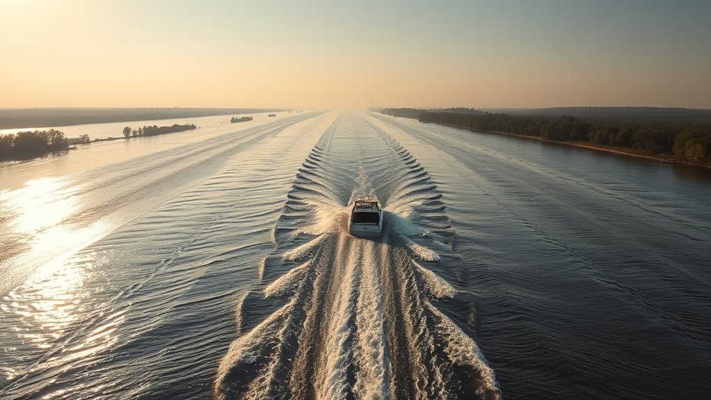
River velocity is one of the main controls on travel time, but there is no single Mississippi River speed. The National Park Service gives a surface speed of about 1.2 miles per hour near the headwaters and roughly 3 miles per hour at New Orleans.
Those figures illustrate how different the river becomes along its course. Velocity can change when:
- water levels rise or fall;
- the channel becomes wider, narrower, deeper, or shallower;
- large tributaries enter the river;
- navigation pools alter local hydraulic conditions;
- high flows spread into connected floodplain areas; or
- drought reduces discharge.
It is also important to distinguish velocity from discharge. Velocity describes how quickly water moves. Discharge describes the volume of water passing a point during a given time. A river can carry far more water downstream without every part of the river moving at the same speed.
What the 90-Day Estimate Really Means
The roughly 90-day figure is best understood as an end-to-end benchmark. It does not mean that a marked drop released at Lake Itasca on a certain morning can reliably be predicted to cross a particular point at the Gulf exactly 90 days later.
River water mixes continuously. Some water moves in the main channel, while other portions interact with side channels, navigation pools, backwaters, wetlands, and floodplain areas. Tributaries continually add new water as the river moves downstream.
For that reason, an authoritative general estimate such as “about three months” is more useful than an artificially precise number or an unsupported range of exact travel times.
What Trivia Posts Get Wrong
The most common mistake is turning “about three months” into an exact scientific constant. The Mississippi does not operate like a pipe carrying every drop downstream at identical speed.
- River velocity changes substantially from place to place.
- High and low water conditions affect movement.
- Tributaries change discharge and hydraulic conditions.
- The Upper Mississippi navigation system affects local water levels but is not a chain of flood-control reservoirs.
- Published river lengths vary slightly by agency and measurement method.
- Boat-travel times do not measure the transit time of river water.
A good short answer is therefore simple: roughly three months from Lake Itasca to the Gulf, with real-world variation caused by changing river conditions.
Frequently Asked Questions
How long does it take for water to travel the entire Mississippi?
About three months is the National Park Service’s general estimate for water traveling from Lake Itasca to the Gulf of Mexico. It should be treated as a benchmark rather than an exact 90-day prediction.
How fast does the Mississippi River flow?
There is no single speed for the entire river. The National Park Service reports surface water moving about 1.2 miles per hour near the headwaters and around 3 miles per hour at New Orleans. Speed changes with water level and channel conditions.
Is the 90-day Mississippi River travel time exact?
No. Ninety days is a convenient approximation of the National Park Service’s “about three months” estimate. Water speed changes along the river and with seasonal flow conditions, so individual water parcels do not all have identical transit times.
Do Mississippi River dams control flooding?
The Upper Mississippi navigation dams do not function as flood-control reservoirs. The U.S. Army Corps of Engineers operates them primarily to maintain navigation depth. Their pools have too little storage to meaningfully contain major flood volumes.
How long does it take for a drop of water to complete the water cycle?
There is no universal completion time. The water cycle is continuous, and water can remain in different storage pools for very different periods. Atmospheric water may move relatively quickly, while groundwater can remain underground for centuries or thousands of years.
Was the Mississippi River ever the longest river in the US?
Current USGS figures list the Missouri River as longer than the Mississippi. Historical published lengths have varied because river channels change and measurement methods differ, so older figures should not be treated as evidence of a fixed historical ranking.
Conclusion
Water traveling from Lake Itasca to the Gulf of Mexico takes about three months according to the National Park Service. The important word is “about.” The Mississippi changes from a shallow Minnesota headwater stream into a massive lower river, and its speed varies with water level, tributary inflow, channel shape, navigation structures, and seasonal conditions.
So the familiar 90-day answer is useful, but it should not be presented as an exact transit time. It is the best simple benchmark for understanding an extraordinarily long and constantly changing river system.
Sources
- National Park Service — Mississippi River Facts — supports the roughly three-month travel estimate, river-length range, surface-speed examples, watershed information, and Upper Mississippi lock-and-dam context.
- U.S. Army Corps of Engineers, St. Paul District — Regulating Mississippi River Navigation Pools — explains navigation-pool operation and why Upper Mississippi navigation dams are not flood-control reservoirs.
- Minnesota Department of Natural Resources — Mississippi River Headwaters — supports the Lake Itasca headwaters location, initial river direction, headwater dimensions, and warm-season flow information.
- U.S. Geological Survey — Water Cycle — supports the explanation that the water cycle has no single completion time and involves multiple storage pools and pathways.
- U.S. Geological Survey — Rivers of the World — supports current Missouri and Mississippi River length comparisons and explains why river-length measurements can differ.
- NOAA — Mississippi River Delta observations — supports the description of freshwater and sediment entering the Gulf through the Mississippi Delta.
