
Last Updated on July 29, 2026 by Mason Reed
Finding a legal dispersed campsite in a national forest takes more than opening a camping app and following a pin. You need to identify the correct forest and ranger district, review current forest orders, check legal road access, confirm public-land boundaries, and prepare for a campsite with few or no services.
Quick Answer
Start with the Forest Service page for the exact national forest, then check its alerts, forest orders, dispersed-camping rules, and current Motor Vehicle Use Map. Use the Interactive Visitor Map and an offline mapping app to shortlist sites, but confirm boundaries, road access, fire restrictions, stay limits, and permits with the local ranger district before leaving.
Key Takeaways
- Dispersed camping is allowed on many, but not all, National Forest System lands.
- The local forest’s alerts, forest orders, and ranger district are the final authorities.
- Use a current Motor Vehicle Use Map to check legal motorized routes and roadside access.
- Treat campsite apps and user reviews as planning leads, not proof that camping is legal.
- Download maps before leaving service and carry enough water, food, waste supplies, and emergency equipment.
At a Glance
| Time Required | About 30–60 minutes for basic research; longer for remote or high-risk areas |
| Difficulty | Moderate |
| Tools Needed | Forest Service pages, current MVUM, offline map, weather forecast, ranger-district contact information, and trip plan |
| Cost | Often no campsite fee; optional mapping subscriptions, permits, passes, or local fees may cost extra |
Disclosure: As an Amazon Associate I earn from qualifying purchases. Some links on this page are affiliate links, at no extra cost to you.
Understanding Dispersed Camping
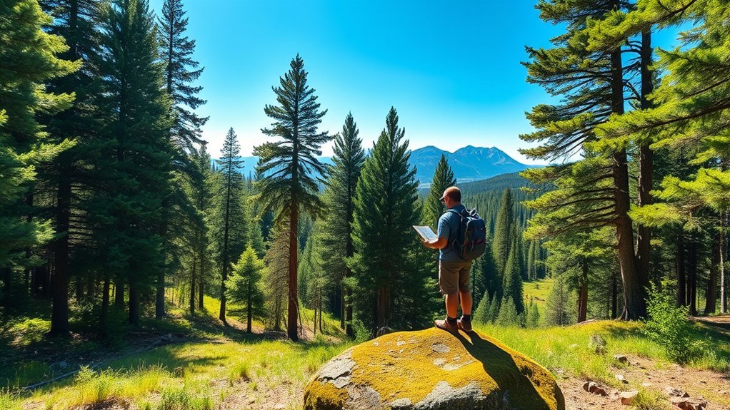
Dispersed camping generally means camping outside a developed campground on public land. A dispersed site may have no toilet, treated water, trash service, picnic table, fire ring, reservation system, or cell signal. You must be prepared to manage your own water, food, waste, navigation, shelter, and emergencies.
Dispersed camping is allowed on many National Forest System lands, but it is not allowed everywhere. A forest may close sensitive areas, require camping in designated sites, limit roadside camping, prohibit fires, restrict food storage, or require a permit. Private land can also sit inside or beside a national forest.
The Forest Service manages more than 193 million acres of national forests and grasslands, but those acres are not automatically open to dispersed camping.
Note: A 14-day stay limit is common, but there is no single nationwide formula. The limit may be measured over 28, 30, or 60 days, and some districts use shorter limits, annual limits, or minimum relocation distances.
How to Find Dispersed Camping in a National Forest
- Choose the exact national forest. Use the Forest Service destination directory to locate the forest that covers your planned area.
- Identify the ranger district. Rules, road conditions, permits, and closures may differ across districts within the same forest.
- Read the forest’s dispersed-camping page. Look for stay limits, prohibited zones, water setbacks, group-size limits, permit rules, and vehicle restrictions.
- Open the alerts and forest-orders page. Check for fire restrictions, closures, food-storage orders, flood damage, road work, and seasonal access limits.
- Study official maps. Use the Interactive Visitor Map for orientation and download the correct Motor Vehicle Use Map for legal motorized access.
- Shortlist existing sites. Use topographic, satellite, and campsite apps to look for previously used sites on durable ground without treating an app pin as legal approval.
- Check access and boundaries. Confirm that the site is on Forest Service land, the approach road is open to your vehicle, and roadside travel or parking is allowed.
- Call the ranger district. Ask about current road conditions, fire rules, water availability, recent wildlife activity, campsite pressure, and any permits you may have missed.
- Download everything for offline use. Save the MVUM, forest map, route, alternate sites, emergency contacts, and return directions before losing cell service.
- Leave a trip plan. Tell a reliable person where you will park and camp, the route you expect to use, and when they should seek help if you do not return.
Pro Tip: Save at least three possible camping areas instead of one exact pin. A site may be occupied, closed, inaccessible, flooded, burned, or no longer suitable when you arrive.
Researching National Forests for Dispersed Camping
Begin with official Forest Service information rather than a general web search. The correct forest page should lead you to maps, recreation rules, permits, alerts, contact information, and forest orders. A ranger can also explain rules that are difficult to interpret from a map.
Pay special attention to the date of each alert or order. Wildfire conditions, road closures, storm damage, logging activity, snow, and restoration work can change access after a campsite review or app listing was published.
| Resource | Best Use |
|---|---|
| Interactive Visitor Map | Finding Forest Service roads, trails, recreation sites, wilderness areas, and general boundaries |
| Forest Service Maps | Finding visitor maps, topographic products, and links to downloadable maps |
| Motor Vehicle Use Map | Checking roads, trails, vehicle classes, seasonal access, and any mapped roadside camping allowances |
| Forest alerts and orders | Checking temporary closures, fire restrictions, occupancy limits, and food-storage rules |
| Ranger district office | Confirming current conditions and resolving unclear rules |
| Leave No Trace | Reducing damage after confirming what local regulations require |
Essential Apps for Finding Dispersed Campsites
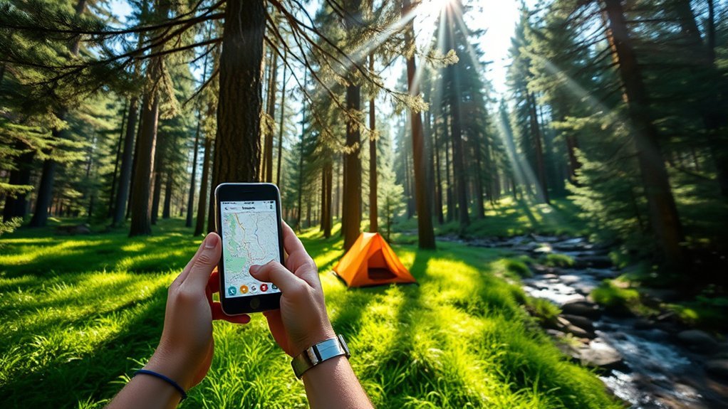
Mapping and campsite apps can speed up your research, especially when they provide offline maps, topographic layers, satellite imagery, public-land overlays, or recent campsite reports. They should support official research rather than replace it.
Top Camping Apps
- onX Offroad: Useful for public-land information, roads, offline maps, waypoints, and off-road route research. Features vary by membership level.
- Gaia GPS: Offers topographic, public-land, private-land, satellite, and MVUM-related layers, with offline functions available through eligible plans.
- US Public Lands: Provides a broad overview of land managed by federal agencies. Its own description warns that it is not a precise campsite locator or boundary survey.
- iOverlander: Provides community-submitted camping, road, water, and service reports. Verify every listing before relying on it.
- Campendium: Includes campsite reviews, access comments, photos, and information that can help build a shortlist.
- The Dyrt: Offers campground and dispersed-camping listings, reviews, photos, and planning tools.
- FreeCampsites.net: Provides user-submitted free and low-cost camping reports, but listings may be incomplete or outdated.
App prices and membership features change. Check the provider’s current pricing page instead of relying on an old annual price in an article or review.
Navigational Features Explained
The most useful features depend on how you travel:
- Public- and private-land layers: Help identify the managing agency and possible private inholdings.
- MVUM layers: Help display roads and trails designated for motorized use, although the official forest-issued MVUM remains the controlling reference.
- Offline maps: Keep maps available outside cell coverage.
- Topographic contours: Reveal steep slopes, valleys, ridges, and possible drainage hazards.
- Satellite imagery: Can show road surfaces, turnarounds, vegetation, and previously disturbed clearings.
- Waypoints and tracks: Let you save alternate sites, junctions, gates, water sources, and your return route.
A road appearing on a map does not guarantee that it is open, maintained, safe, or passable. Snow, mud, washouts, fallen trees, locked gates, wildfire damage, and seasonal restrictions may affect it.
User-Generated Content Benefits
User reviews can reveal road roughness, shade, noise, campsite size, mobile coverage, recent trash, or whether a large vehicle can turn around. They can also be wrong, old, or based on rules that have since changed.
Use community reports to form questions, not conclusions. Before driving to a pin, confirm the managing agency, current forest order, legal route, and whether camping is still allowed.
Warning: Do not follow a user-submitted coordinate onto private property, across a closed gate, through vegetation, or along a route that is absent from the current Motor Vehicle Use Map.
Verifying Land Ownership and Regulations
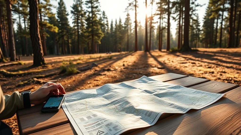
National-forest boundaries can surround or cross private land, state land, tribal land, utility corridors, and other jurisdictions. A green public-land overlay is useful, but it may not show a boundary with survey-level precision.
Importance of Ownership Verification
Before setting up camp:
- Identify the land-management agency.
- Compare more than one current map when a boundary is unclear.
- Look for private-property signs, fences, gates, structures, and posted notices.
- Do not cross private land unless you have a legal public route or permission.
- Confirm that the campsite itself, not only the access road, lies on land open to camping.
- Contact the ranger district when a private inholding or boundary line creates doubt.
Do not assume that an existing fire ring, cleared patch, or online review proves a site is legal. Unauthorized campsites can remain visible long after an area has been closed.
Understanding Local Regulations
Check the local forest’s rules for all of the following:
- Maximum stay and required relocation distance
- Seasonal camping or road closures
- Areas limited to designated campsites
- Water, trail, road, and recreation-site setbacks
- Fire bans and stove restrictions
- Human-waste disposal requirements
- Food-storage orders
- Group-size limits and special-use permits
- Pet and leash rules
- Vehicle classes and roadside parking
- Wood gathering, cutting, and transport
Save a copy or screenshot of the rules you relied on. This is especially useful when you lose service or need to explain your route to another member of your group.
Choosing a Safe, Low-Impact Campsite
Once you reach an area where camping is allowed, use an existing site on durable ground whenever possible. Bare mineral soil, gravel, rock, or a well-established campsite usually handles use better than plants, wetlands, or soft meadow soil.
Inspect the area before unloading:
- Look up: Avoid dead trees, broken tops, hanging limbs, burned trees, and trees leaning toward the site.
- Look down: Avoid soft ground, fragile vegetation, animal burrows, sharp debris, and signs of standing water.
- Check drainage: Stay out of dry washes, narrow canyon bottoms, flood channels, and low spots that can fill during storms.
- Protect access: Do not block a road, gate, trail, turnaround, emergency route, or another camper.
- Limit expansion: Keep tents, chairs, vehicles, and cooking equipment within the existing disturbed area.
- Follow water setbacks: Use the local legal requirement. When no stricter or different rule applies, about 200 feet is a useful low-impact planning distance.
Do not cut vegetation, dig drainage trenches, build platforms, create a new vehicle track, or enlarge a campsite for convenience.
Tips for Successful Dispersed Camping
Successful dispersed camping demands thoughtful preparation and care. Primitive sites lack the services that solve common problems at a developed campground.
- Carry enough drinking water unless you have confirmed a dependable source and suitable treatment method.
- Bring food, shelter, insulation, rain protection, lighting, first aid, navigation tools, and emergency supplies.
- Pack trash bags and the waste system required for the area.
- Carry a shovel and water for fire safety when fires are permitted.
- Use a bear-resistant food container or other locally approved storage method where required.
- Download offline maps and carry a separate navigation backup.
- Bring a power bank and charging cable, but do not depend on a phone as your only map.
- Check the weather for your campsite elevation, not only the nearest town.
- Confirm that your vehicle has enough clearance, fuel, traction, and turnaround space.
- Arrive with enough daylight to inspect the road and campsite safely.
Note: A remote road can become much harder after rain or snow. Turning around before conditions exceed your vehicle or driving skill is safer than continuing because an app marks a campsite ahead.
Leave No Trace Principles for Campers
Leave No Trace principles help reduce damage, but they do not replace local laws or forest orders. Use existing campsites and routes, keep your campsite small, and pack out everything you bring.
For solid human waste, first determine whether catholes are permitted. Where allowed, standard guidance is to dig a cathole 6–8 inches deep and at least 200 feet from water, camp, and trails. Cover and disguise it when finished. Pack out toilet paper and hygiene products unless the local managing agency gives different instructions.
Some deserts, alpine zones, river corridors, high-use areas, frozen landscapes, and sensitive watersheds require all solid waste to be packed out. Carry an approved waste bag or portable toilet when required or when proper burial is not possible.
Also remember to:
- Pack out food scraps, pet waste, foil, glass, cans, and microtrash.
- Do not burn trash or bury food.
- Carry dishwater away from streams and lakes before washing.
- Use small amounts of soap and strain food particles from dishwater.
- Observe wildlife from a distance and never feed it.
- Leave rocks, plants, antlers, artifacts, and natural objects where you found them.
Navigating Campfire Regulations
Campfire rules can change quickly during dry or windy weather. Check the forest’s alerts and fire-restriction page immediately before departure and again whenever you regain service.
If fires are allowed:
- Use an existing fire ring when local rules permit it.
- Keep the fire small and under constant supervision.
- Clear combustible material only as allowed without enlarging the campsite.
- Keep water and a shovel close enough to use immediately.
- Do not burn trash, foil, glass, plastic, or food.
- Drown the fire, stir the ashes, add more water, and feel for heat before leaving.
The Forest Service advises gathering only dead and down wood when local rules allow collection for use at the campsite. Cutting, removing, or transporting firewood may require a permit and may be restricted to slow the spread of insects and disease. Check the forest’s current forest-product and firewood rules before touching wood.
Warning: An old fire ring does not prove that a fire is currently legal. A forest order may ban wood fires, charcoal, or even some stoves. Read the actual restriction order before lighting anything.
Safety Measures to Prevent Wildfires
Wildfire prevention extends beyond campfires. Hot exhaust systems, dragging chains, cigarettes, fireworks, target shooting, and equipment that creates sparks can start fires.
Campfire Safety Guidelines
- Check current restrictions and weather before starting a fire.
- Never leave flames, coals, or warm ashes unattended.
- Do not build a fire beneath branches or beside dry grass.
- Keep the fire small enough to control.
- Follow local rules for generators, stoves, charcoal, and spark arresters.
- Use plenty of water when extinguishing the fire.
- Stir wet coals and repeat until every part is cool to the touch.
Smokey Bear’s campfire guidance recommends a drown, stir, drown, and feel process rather than covering a fire with dirt and assuming it is out.
Proper Waste Disposal Practices
Food scraps and trash can attract wildlife and create fire hazards. Store them with your other scented items and pack them out. Do not place cans, glass, plastic, foil, batteries, or food packaging in a fire ring.
Inspect the campsite before leaving. Look for small pieces of foil, bottle caps, tent stakes, twist ties, food, fishing line, and other items that are easy to miss.
Finding Water Sources and Purification Methods
Natural water can contain bacteria, parasites, viruses, sediment, harmful algae, or chemical contamination. Clear, cold water is not automatically safe.
Research water availability before the trip and carry more than you expect to need. Seasonal springs and small streams may be dry. Never rely on a source mentioned in an old review without a backup plan.
The Centers for Disease Control and Prevention recommends choosing treatment according to the germs a method can remove:
- Boiling: Bring clear water to a rolling boil for one minute. Above 6,500 feet, boil it for three minutes.
- Filtering: Use a filter rated for the organisms of concern and follow its cleaning and replacement instructions.
- Filtering plus disinfection: This combination can provide broader protection when one method alone is not enough.
- Chemical treatment: Follow the product’s dose, water-temperature, and contact-time instructions exactly.
Boiling kills germs but does not remove fuel, pesticides, heavy metals, salts, or other chemicals. Do not drink from a source suspected of chemical contamination merely because you boiled or filtered it.
Pro Tip: Carry a primary treatment method plus a lightweight backup, such as tablets. A cracked filter, frozen cartridge, lost bottle, or clogged intake should not leave you without safe water.
Vehicle and Road Access
A Motor Vehicle Use Map, or MVUM, identifies roads, trails, vehicle classes, seasons, and areas designated for motorized travel. Routes not shown as open to your vehicle are generally not legal for public motorized use.
Some MVUMs show limited roadside corridors where a vehicle may leave a designated road on an existing route to reach a dispersed campsite. The distance and eligible roads vary. Do not assume that you may drive a standard distance from every forest road.
Before entering a remote road:
- Confirm the route is legal for your type of vehicle and the current season.
- Check forest alerts for temporary closures.
- Ask about recent storms, snow, washouts, fires, and fallen trees.
- Know your vehicle’s ground clearance, tire condition, fuel range, and recovery points.
- Do not drive around a gate, berm, closure sign, or damaged bridge.
- Do not create a new route or drive across vegetation, wetlands, or soft soil.
- Park without blocking traffic, gates, turnarounds, or emergency access.
An MVUM shows legal designations, not whether a road is maintained or safe. A route can be legally open but physically unsuitable for your vehicle.
Weather, Communication, and Emergency Planning
Remote national-forest areas may lack mobile coverage, road signs, treated water, nearby help, and reliable weather information. Prepare to solve basic problems without immediate assistance.
- Check the forecast for the campsite’s elevation and terrain.
- Watch for thunderstorms, flash floods, high winds, heat, snow, and wildfire smoke.
- Download maps and emergency contacts before the trip.
- Carry a paper map and compass or another independent navigation system.
- Bring extra food, water, warm clothing, medication, and lighting.
- Consider a satellite messenger for areas beyond mobile coverage.
- Tell a trusted person your route, campsite area, vehicle description, and return time.
- Set a clear time for that person to contact authorities if you do not return.
For an immediate threat to life, report your location to 911 when communication is available. For damaged signs, illegal dumping, hazardous campsites, blocked roads, or non-urgent problems, contact the responsible ranger district.
Engaging With Local Camping Communities
Local camping groups, forums, and review platforms can provide useful information about road surfaces, snow, recent crowds, mobile coverage, and places that have suffered from overuse. They may also help you learn which roads require high clearance or become impassable after rain.
Protect sensitive locations when participating in these communities. Avoid publicly broadcasting coordinates for fragile, unofficial, or easily damaged sites. Share current rule changes, cleanup needs, and closures instead of encouraging more use in an already damaged area.
When posting a review, include the date, managing agency, road conditions, vehicle type, and whether you confirmed the rules. Do not state that a site is legal unless official information supports that conclusion.
Frequently Asked Questions
What is the best time of year for dispersed camping?
There is no single best season. Lower-elevation forests may be comfortable in spring or fall, while high roads may remain snow-covered into summer. Summer can bring heat, thunderstorms, smoke, crowds, and fire restrictions. Check the forecast, road status, snow level, and current alerts for the exact forest.
Are there fees for dispersed camping in national forests?
Many dispersed sites have no campsite fee, but exceptions exist. A permit, recreation pass, parking fee, reservation, or special-area fee may apply. Confirm costs on the responsible forest or ranger-district page.
Can I camp anywhere inside a national forest boundary?
No. Private inholdings, developed recreation areas, restoration zones, administrative sites, sensitive habitat, closed roads, water-protection areas, and other restricted locations may lie inside the boundary. Some forests allow camping only in designated dispersed sites.
How long can I stay at a dispersed campsite?
Stay limits vary. Fourteen days is common, but the counting period, relocation distance, annual maximum, and seasonal limit differ among forests and districts. Read the current occupancy order for the exact location.
Do I need a permit for dispersed camping?
A general camping permit is often unnecessary, but some wildernesses, high-use corridors, parking areas, fire zones, large groups, and designated dispersed areas require permits. Separate permits may apply to fires, firewood, or other activities.
Can I camp with my pet in a dispersed area?
Pets are allowed in many areas, but local closures, leash rules, wildlife protections, and wilderness rules vary. Keep your pet under control, pack out its waste, protect it from wildlife, and store its food with your other scented items.
How do I know whether a forest road is legal to drive?
Check the current Motor Vehicle Use Map for the responsible forest. Confirm the permitted vehicle class and season, then review temporary closures. A road shown as legal may still be rough, blocked, snowy, flooded, or unsafe.
What should I do if I encounter wildlife?
Do not approach, feed, surround, or block the animal’s escape route. Create distance and follow guidance for the species and region. During a bear encounter, stay calm, do not run, and back away slowly when it is safe to do so. Bear behavior and recommended responses vary by situation.
How do I report a problem or hazard at a campsite?
Contact the responsible ranger district with the road number, coordinates, photos, date, and a clear description. Use 911 for an immediate threat to life. Do not enter an active fire, damaged structure, unstable slope, or other dangerous area to collect evidence.
Conclusion
Dispersed camping in national forests offers solitude and access to remarkable public landscapes, but finding a suitable site requires careful verification. Start with official Forest Service pages, review current orders, study the correct MVUM, check land boundaries, and confirm unclear details with the ranger district.
Arrive prepared to manage your own water, waste, food, navigation, weather, and emergencies. Use an existing site, protect vegetation, obey fire restrictions, and leave the area cleaner than you found it. Good research protects you, other visitors, wildlife, and the campsite itself.
Sources
- U.S. Forest Service — Camping — general camping awareness, fire, trash, and outdoor-safety guidance
- U.S. Forest Service — Interactive Visitor Map — Forest Service roads, trails, recreation sites, and map-based trip research
- U.S. Forest Service — Maps — official visitor maps, topographic products, and map resources
- U.S. Forest Service — Responsible Recreation — low-impact camping, campfires, and campsite practices
- Leave No Trace — Dispose of Waste Properly — cathole dimensions, distance guidance, and pack-it-out practices
- CDC — Water Treatment While Hiking and Camping — boiling, filtration, disinfection, and treatment limitations
