

Last Updated on July 27, 2026 by Daniel Globe
A GPS device can make hiking navigation easier, but it works best when you prepare your maps and route before leaving home and know what the screen is telling you on the trail. GPS is the U.S. satellite navigation system, while many modern hiking devices are actually multi-GNSS receivers that can also use signals from systems such as Galileo, GLONASS, or BeiDou. Good navigation still requires judgment, map-reading skills, and a backup plan.
Quick Answer
To use a GPS device for hiking, download your map and route before the trip, confirm the correct coordinate settings, let the receiver acquire satellites at the trailhead, start track recording, and compare your position with the planned route at junctions. Carry a paper map and compass as backup instead of relying on one electronic device.
Key Takeaways
- GPS determines position from satellite signals; most receivers use at least four satellites to solve three-dimensional position and receiver-clock error.
- A phone’s satellite positioning can work without cellular service, but the map and route data you need should be downloaded before entering an area without data coverage.
- For hiking, compare battery life, weather resistance, offline mapping, screen usability, multi-band GNSS, physical controls, and satellite communication features.
- Learn the difference between waypoints, routes or courses, and recorded tracks before relying on a GPS in remote terrain.
- Satellite blockage, reflected signals, terrain, atmosphere, satellite geometry, and receiver quality can all affect accuracy.
- Carry a map and compass, tell someone your route and return time, and never treat GPS as your only safety system.
At a Glance
| Time Required | About 15–30 minutes of pre-trip setup, plus practice time if the device is new to you |
| Difficulty | Beginner to intermediate; practice on a familiar local trail before depending on GPS remotely |
| Tools Needed | GPS handheld or GPS-capable phone, downloaded map/route, backup paper map and compass, and spare power when needed |
| Cost | No extra hardware cost if you use a suitable phone you already own; dedicated handhelds, map subscriptions, and satellite plans vary |
Warning: Do not make a phone or GPS receiver your only navigation method in remote terrain. The National Park Service hiking-safety guidance recommends carrying navigation tools such as a map, compass, and GPS and knowing how to use them before you leave.
Disclosure: As an Amazon Associate I earn from qualifying purchases. Some links on this page are affiliate links, at no extra cost to you.
How GPS Works for Hiking
The Global Positioning System is a U.S.-owned positioning, navigation, and timing system made up of a space segment, control segment, and user segment. Its nominal constellation contains 24 operating satellite slots, although additional satellites are normally available.
Each satellite broadcasts information about its position and precise time. Your receiver compares the transmission time with the arrival time to estimate its distance from several satellites. It then calculates its position using trilateration, not triangulation. In normal three-dimensional GPS positioning, signals from at least four satellites allow the receiver to determine latitude, longitude, altitude, and the error in its own clock.
Modern outdoor devices often support more than GPS alone. A multi-GNSS receiver may combine signals from GPS with Galileo, GLONASS, BeiDou, or regional systems. Some models also use more than one satellite frequency, commonly called multi-band or dual-frequency GNSS. This can help the receiver reject reflected or distorted signals in difficult environments such as deep valleys, mountains, dense tree cover, and built-up areas.
Under open sky, GPS-enabled smartphones are typically accurate to about a 4.9-meter (16-foot) radius, according to GPS.gov. Actual trail accuracy can be better or worse depending on satellite geometry, obstruction, atmosphere, reflected signals, and receiver design.
Choosing the Right GPS Device for Hiking
The right device depends on where you hike, how long you stay out, and whether you need navigation only or communication as well. Your main choices are a dedicated handheld GPS, a smartphone with a hiking app, or a GPS-capable outdoor watch.
Dedicated Handheld GPS
A handheld navigator is designed for outdoor use. Common advantages include long battery life, weather-resistant construction, sunlight-readable screens, physical buttons that can be easier to use with gloves, topographic maps, track recording, and waypoint management.
Current devices may also offer multi-band GNSS, electronic compasses, barometric altimeters, satellite imagery, and satellite messaging. For example, Garmin’s current GPSMAP H1/H1i Plus documentation covers modern handheld navigation, while other current Garmin families include GPSMAP 67-series and eTrex models.
Smartphone GPS Apps
A smartphone can be an excellent hiking navigator when it has a suitable app and maps downloaded in advance. Lack of cellular coverage does not automatically stop the phone’s satellite receiver from determining its location. The problem is that map tiles, trail information, live weather, searches, syncing, or route creation may need internet access unless the required information was stored on the phone beforehand.
For example, AllTrails documents offline map downloads, and Gaia GPS provides an offline-map workflow. Features and subscription requirements can change, so check your app before each trip.
GPS Watches
Outdoor watches are convenient because the navigation display stays on your wrist. They can be useful for following a loaded course or checking direction without stopping. Their smaller screens, however, may make detailed map interpretation harder than on a phone or handheld.
Features Worth Comparing
- Battery life: consider your longest expected trip, cold weather, and whether you can recharge.
- Weather resistance: check the manufacturer’s water and dust rating.
- Offline maps: confirm the device stores the maps you actually need.
- Multi-GNSS and multi-band support: useful in difficult reception environments.
- Screen and controls: make sure you can operate them in sun, rain, and gloves.
- Compass and altimeter: helpful for direction and elevation awareness, especially in mountain terrain.
- Replaceable versus rechargeable battery: each has advantages for long trips.
- Satellite communication: useful when you need messaging or SOS capability beyond cellular coverage.
Note: GPS navigation and satellite communication are different functions. A standard GPS receiver mainly listens to navigation satellites. Sending an SOS or two-way message requires compatible communication hardware, service, and usually an active plan.
How to Use a GPS Device for Hiking Step by Step
1. Plan the Route Before You Leave
Study the trail on a reliable topographic map. Check distance, elevation gain, major junctions, water crossings, alternate routes, and obvious landmarks. Do not assume a downloaded route proves that a trail is open or safe; check current land-manager information and weather before departure.
2. Download the Map and Route
Save the entire hiking area for offline use, not just a narrow strip directly over the intended trail. That gives you useful map coverage if you take a wrong turn or need an alternate route.
If your route comes from another mapping service, it may be transferred as a GPX file. Confirm that the route or course appears correctly on the actual device you will carry.
3. Confirm Coordinate and Map Settings
Check the position format used by your hiking group, guidebook, emergency instructions, or paper map. Common formats include decimal degrees, degrees and decimal minutes, degrees-minutes-seconds, and UTM.
Also confirm the map datum when coordinates must be exchanged precisely. Two people can report different-looking coordinates for the same place when their devices use different formats or datums.
Note: Do not convert coordinate formats in an emergency unless necessary. Agree on one format beforehand and read it exactly as the device displays it.
4. Charge the Device and Prepare Backup Power
Start with a full battery. For longer trips, carry the appropriate spare batteries or a power bank and charging cable. Reduce unnecessary screen brightness, wireless connections, and background features if battery life becomes more important than convenience.
5. Acquire Satellites at the Trailhead
Turn the device on outside with a clear view of the sky and wait for a stable position fix before starting. Confirm that the displayed location agrees with the trailhead or another obvious landmark.
6. Mark the Trailhead
Save the parking area or trailhead as a waypoint. Give it a clear name such as “Trailhead” or “Car.” This gives you a known reference point if you later need to navigate back.
7. Start Navigation and Track Recording
Open the saved route or course and start navigation. If the device supports track recording, start that too. The recorded track creates a digital history of where you actually walked rather than only showing where you planned to go.
8. Check the Map at Decision Points
Do not stare at the screen continuously. Instead, compare the map with the real terrain at trail junctions, creek crossings, passes, road intersections, and other places where a mistake would be easy.
9. Stop Early When Something Does Not Match
If the trail, terrain, compass direction, and GPS route disagree, stop and investigate before continuing. Moving farther while uncertain can turn a small navigation mistake into a much larger one.
10. Save the Track After the Hike
Stop navigation and track recording at the end of the trip. Save the track if you want a record of the route, then recharge the device and update maps or software before the next trip when appropriate.
Pro Tip: Practice the complete workflow on a familiar local trail: load a route, mark a waypoint, record a track, intentionally walk a short distance away from the route, and navigate back. Learning these controls at home is much easier than learning them after dark or in bad weather.
Learning How to Read and Interpret GPS Maps
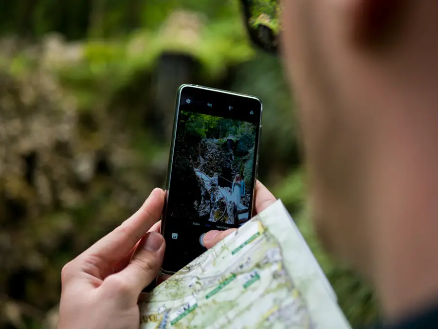
A GPS position marker is useful only when you understand the map underneath it. Topographic maps show terrain, water, roads, boundaries, place names, and elevation. According to the U.S. Geological Survey, contour lines connect points of equal elevation and show the shape of the land.
Closely spaced contour lines usually mean a steeper slope. Widely spaced lines indicate gentler terrain. On a hike, contour patterns can help you recognize ridges, valleys, saddles, cliffs, and major changes in elevation.
Learn the map legend rather than assuming every symbol means the same thing across every mapping service. The USGS topographic-symbol guide explains how natural and human-made features are represented.
Understand Map Scale
Map scale tells you how map distance relates to distance on the ground. Zooming a digital map changes what you see, but it does not make the source data more accurate. Avoid making route decisions from a map that lacks enough detail for the terrain.
Understand Coordinates
GPS devices commonly display latitude and longitude, and many also support UTM or other grid systems. UTM expresses positions as eastings and northings in meters within numbered zones. Before sharing a coordinate, state the format when there is any chance of confusion.
Use the Map and the Terrain Together
Do not follow the position arrow blindly. Compare it with trail direction, contour shape, streams, peaks, roads, and other features you can identify in the real world. A map can contain outdated trails or mapping errors even when the GPS position itself is correct.
Utilizing GPS for Navigation and Route Planning
| GPS-enabled smartphone accuracy under open sky | Typically about a 4.9 m (16 ft) radius; actual accuracy varies |
| Satellites normally needed for full 3D GPS position and time | At least four |
| Cellular service required for satellite position | No; however, map downloads, syncing, live data, and some app features may require an internet connection |
| Recommended navigation redundancy | GPS or phone plus a map and compass you know how to use |
GPS technology is most useful when route planning starts before the hike. Apps and mapping platforms such as AllTrails and Gaia GPS can help you research routes and store maps for offline use. Download the area while you still have reliable internet access, then open the saved map again to verify that it is actually stored on the device.
Once you select a route, transfer or sync it to the GPS device when required. On the trail, the route shows where you planned to travel, while your live position shows where you are. Track recording can show where you have already walked.
You can also mark important waypoints such as the trailhead, camp, water source, major junction, emergency exit, or scenic viewpoint. These references make it easier to understand your position than relying only on a moving arrow.
Understanding GPS Accuracy and Limitations
GPS is highly useful, but its position is an estimate rather than a guarantee that the dot is in the exact place shown on the map.
Signal Blockage
Cliffs, deep canyons, buildings, and dense vegetation can block or weaken satellite signals. A receiver generally performs best with a wide view of the sky.
Multipath Error
Multipath is different from simple blockage. It occurs when a satellite signal reflects from rock, buildings, or other surfaces before reaching the receiver. Because the reflected signal travels a longer path, the receiver can calculate a less accurate range.
Atmospheric Effects
Satellite signals pass through the ionosphere and troposphere before reaching you. These layers can alter signal travel time and contribute to positioning error.
Satellite Geometry
Accuracy can suffer when the satellites being used are clustered in an unfavorable part of the sky. A receiver using well-distributed satellites generally has better geometry.
Receiver Technology
A modern multi-band, multi-GNSS receiver may perform better than an older single-frequency receiver in difficult environments. That does not make it immune to blocked signals or bad map data.
Map Error Is Not GPS Error
Your position can be correct while the trail shown underneath it is wrong, old, or poorly mapped. GPS.gov specifically distinguishes positioning accuracy from errors in consumer mapping databases.
Warning: Never continue into obviously unsafe terrain simply because an electronic route line tells you to. If the route conflicts with cliffs, floodwater, a closed trail, private property signs, or current land-manager instructions, stop and reassess.
Mastering GPS Waypoints and Marking Trails
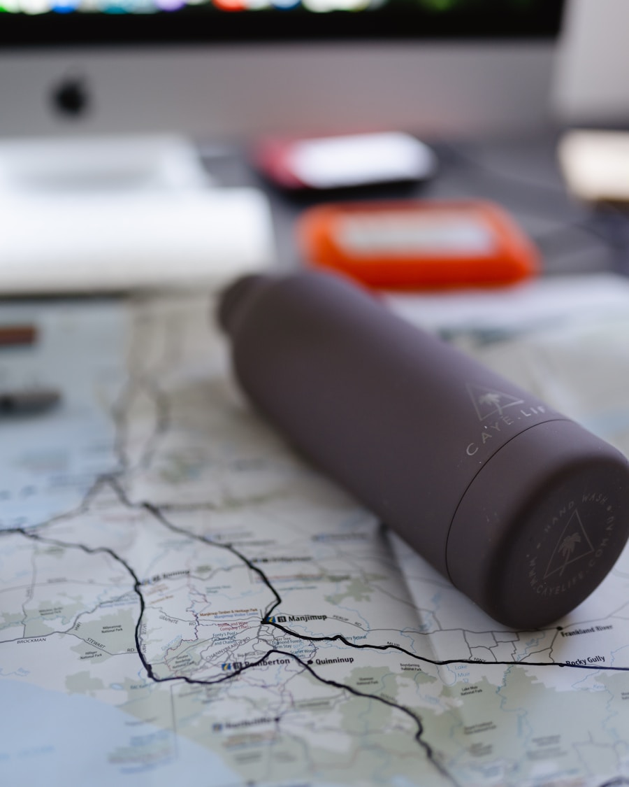
A waypoint is a saved geographic location. Current Garmin documentation describes waypoints as stored locations that can mark where you are, where you are going, or where you have been.
Waypoints are useful for trailheads, campsites, water sources, junctions, scenic viewpoints, emergency exits, and other places you may need to find again. Give each one a clear name instead of leaving a long list of generic numbers.
Waypoint vs. Route vs. Track
- Waypoint: one saved location.
- Route or course: a planned sequence of locations or a planned path leading toward a destination.
- Track: a recorded digital trail showing where you actually traveled.
The exact terminology varies by manufacturer and app. Learn what your own device means by “route,” “course,” “track,” and “activity” before leaving for a remote trip.
Mark Important Places as You Travel
To create a waypoint, use the device’s save or mark-location command. Review the coordinates before saving when precision matters, then give the waypoint a descriptive name. Some devices also allow notes, symbols, elevation data, or categories.
Marking the trailhead when you begin is one of the simplest useful habits. You can also mark a difficult junction or campsite rather than assuming you will remember exactly where it was later.
Using GPS for Geocaching and Outdoor Activities
Geocaching combines satellite navigation with a real-world treasure hunt. Participants use published coordinates and clues to locate hidden containers called geocaches. A cache commonly includes a logbook, and some contain small trade items.
Geocaching is a useful way to practice waypoint navigation because it teaches you to interpret coordinates, distance, direction, terrain, and the difference between being “close” on the GPS screen and locating a small object in the real world.
GPS is also useful for backpacking, trail running, hunting, paddling, field research, photography, and other activities where users need to record a route or return to a known point.
Use good outdoor ethics when geocaching or navigating off trail. Follow land-access rules, avoid damaging vegetation or cultural resources, and do not assume a coordinate gives permission to cross private or restricted land.
Offline Maps, GPX Files, and Coordinate Formats
Offline preparation is one of the most important GPS skills for remote hiking. A phone may know its latitude and longitude while displaying a blank or incomplete map if the required map data was never downloaded.
Download More Area Than You Expect to Need
Store the trail plus surrounding terrain. A wider offline area helps if you miss a junction, need an alternate route, or must identify a nearby road, drainage, ridge, or exit.
Verify the Download
Do not assume that pressing “download” completed the job. Open the app’s saved or downloaded-map section and confirm the area is available. App-specific procedures vary and can change after software updates.
Understand GPX Files
GPX is a common exchange format for GPS information such as waypoints, routes, and tracks. A downloaded GPX file can be useful, but it should be treated as navigation data rather than proof that a route is current, maintained, legal, or safe.
Keep Coordinate Formats Consistent
When sharing an emergency position or meeting another hiker, confirm that everyone is using the same format. Decimal degrees and degrees-minutes-seconds can describe the same location with very different-looking numbers.
Tips for Maintaining and Troubleshooting GPS Devices on the Trail
Reliable navigation starts before the hike. Charge the device, inspect charging ports and weather covers, confirm that the correct maps are present, and check for appropriate manufacturer software or map updates.
Do not assume every update will improve GPS accuracy. Updates may fix bugs, improve compatibility, change features, or update security. After a major update, open the device and check your maps, saved routes, satellite settings, and battery behavior before depending on it remotely.
Manage Battery Life
- Start fully charged.
- Carry spare batteries or a compatible power bank when the trip justifies it.
- Lower screen brightness when practical.
- Turn off unneeded wireless connections.
- Avoid leaving the map screen at full brightness continuously.
- Keep batteries reasonably warm in very cold conditions.
If the Device Cannot Acquire Satellites
Move to a place with a clearer view of the sky if it is safe to do so. Give the receiver time to acquire signals, especially after traveling a long distance while the device was off. Check that satellite reception is enabled and that you are not indoors or directly beside a large obstruction.
If the unit continues to malfunction, follow the manufacturer’s troubleshooting process rather than repeatedly changing unfamiliar settings in the field. Current Garmin guidance for its GPSMAP H1/H1i Plus, for example, recommends checking updates before performing a full reset because resetting may erase user data.
If the Map Is Blank but Position Works
This often means the needed map layer was not downloaded, is disabled, or is outside the downloaded area. Do not confuse a missing map with a failed GPS receiver.
Pro Tip: Before a major hike, take a screenshot or write down the route’s most important coordinates and carry them with your paper map. That gives you another reference if an app crashes or stored data becomes unavailable.
What to Do If GPS Fails or You Become Unsure of Your Location
When the route stops making sense, the safest first move is usually to stop rather than continue walking in a guessed direction.
- Stop moving. Prevent a small navigation error from becoming a larger one.
- Check obvious landmarks. Compare ridges, valleys, streams, junctions, roads, and slope direction with your map.
- Check the receiver. Look for weak satellite reception, an off-route position, the wrong map layer, or an incorrect coordinate setting.
- Use your backup map and compass. Orient the map and compare it with the terrain.
- Backtrack only when you are confident it is safe. Your recorded track may help, but do not follow it into a hazard.
- Use emergency communication when necessary. If you are lost, injured, trapped, or unable to navigate safely, use the emergency resources available to you rather than continuing blindly.
Tell a responsible person your planned route and expected return time before remote hikes. That information can become important if you do not return as planned.
Other Hiking and Travel Gear
Navigation equipment is only one part of trip preparation. On cold-weather trips, a rechargeable hand warmer can improve comfort, while travel pants with secure or hidden pockets may help keep small items organized. Hardside carry-on luggage can protect equipment while traveling to the destination, although it has no role in trail navigation itself. None of these items replaces your GPS, offline maps, backup map, compass, suitable clothing, food, water, lighting, or emergency equipment. For additional cold-weather travel preparation, see our rechargeable hand warmer for travel guide.
Frequently Asked Questions
What is a GPS device?
A GPS device is a receiver that listens to signals from Global Positioning System satellites and uses them to calculate position, navigation, and time information. Many modern outdoor devices are broader GNSS receivers that can use GPS plus other satellite constellations.
How does a GPS device work for hiking?
The receiver calculates your location from satellite signals and displays that position as coordinates or on a map. Hiking devices can also follow saved routes, record tracks, show distance and direction, and store waypoints such as trailheads or campsites.
Does hiking GPS work without cell service?
Yes. GPS and other GNSS satellite positioning do not require a cellular data connection. A smartphone app may still need maps and route information downloaded in advance, and features such as syncing, live weather, searches, or messaging may require internet or separate satellite communication.
What are the benefits of using a GPS device for hiking?
GPS can show your position, help you follow a planned route, record where you have walked, measure distance and speed, and save important waypoints. It is especially useful when paired with topographic maps and traditional navigation skills.
How do I use a GPS device for hiking?
Plan and download the route first, charge the device, confirm map and coordinate settings, acquire satellites at the trailhead, mark your starting point, start navigation and track recording, and check your position at important junctions. Carry a map and compass as backup.
How accurate is a hiking GPS?
Accuracy varies with the receiver and conditions. GPS.gov reports that GPS-enabled smartphones are typically accurate to about a 4.9-meter radius under open sky. Tree cover, canyon walls, reflected signals, atmosphere, satellite geometry, and receiver design can reduce accuracy, while modern multi-band receivers may perform better in difficult environments.
What are some current GPS devices for hiking?
Current examples include Garmin GPSMAP H1/H1i Plus, GPSMAP 67-series, and eTrex models, along with GPS-capable outdoor watches and smartphones running offline hiking-map apps. Older recommendations such as the Suunto Traverse and many Magellan eXplorist units are legacy products, so check current manufacturer support before buying used equipment.
Sources
- GPS.gov — GPS Overview — GPS system architecture, satellite constellation, and receiver fundamentals.
- GPS.gov — GPS Accuracy — consumer accuracy and factors that affect GPS positioning.
- NOAA Ocean Service — Global Positioning System Tutorial — four-satellite positioning and receiver clock correction.
- U.S. Geological Survey — What Is a Topographic Map? — contour lines, terrain, elevation, and topographic mapping.
- National Park Service — Hiking Safety — navigation redundancy and outdoor preparation.
- Garmin — GPSMAP H1/H1i Plus Owner’s Manual — current handheld GPS operation, navigation, updates, and device features.

