
Last Updated on July 27, 2026 by Daniel Globe
Traveling from Canaan to Egypt in the biblical narrative covers roughly 200 to 300 miles, depending on the specific route taken, and offers a landscape rich in history, ancient trade corridors, and dramatic terrain. This article walks through the traditional routes described in historical and biblical accounts — the direct coastal highway, the inland desert paths, and the rugged trek across the Sinai Peninsula — along with key historical landmarks and patriarchal journeys. Note that this describes an ancient, biblical-era travel corridor rather than a modern travel itinerary; conditions in this region today vary greatly, and certain areas carry real security risks (see the safety notice below).
Quick Answer
The traditional distance between Canaan and Egypt is estimated at roughly 200 to 300 miles (320 to 480 km). Ancient travelers generally followed the direct coastal plain via the Via Maris (“Way of the Philistines”) or the inland desert highway known as the “Way of Shur.” Conversely, the biblical Exodus narrative describes a prolonged 40-year trek looping through the harsh Sinai Peninsula.
Note: This article describes traditional biblical narratives and ancient trade routes dated by historians from the Bronze Age through antiquity. It is not a guide for modern travel — parts of this region, including Gaza and areas of the Sinai Peninsula, remain active conflict or high-risk zones. Always consult official government travel advisories before planning real-world travel in these areas.
Key Takeaways
- Direct routes between Canaan and Egypt range from 200 to 300 miles (320–480 km), a journey taking roughly 2 to 3 weeks on foot in antiquity.
- The shortest and flattest path ran along the Mediterranean coastal plain, known historically as the Via Maris or the biblical “Way of the Philistines.”
- Inland travelers often utilized the “Way of Shur,” a desert highway connecting Hebron and Beersheba directly to the border of Egypt.
- Major biblical figures traveled from Canaan to Egypt, including Abraham, Joseph, Jacob, and later Mary and Joseph during the Flight into Egypt.
- Key historical landmarks along these travel corridors include Gaza, Ashkelon, Jaffa, the Wilderness of Shur, Mount Sinai (Jebel Musa), and Jericho.
Disclosure: As an Amazon Associate I earn from qualifying purchases. Some links on this page are affiliate links, at no extra cost to you.
The Shortest Path: Direct Coastal Route (Via Maris)
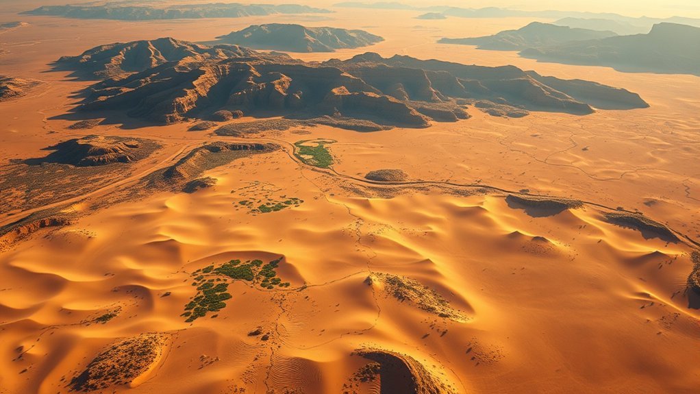
The most direct path between Canaan and Egypt — spanning roughly 200 miles — ran along the Mediterranean coastal plain, avoiding the rugged desert mountains of the interior. Historians and archaeologists identify this major highway with the ancient Via Maris (“Way of the Sea”), known in the Hebrew Bible as the “Way of the Land of the Philistines” (Exodus 13:17).
Along this heavily traveled commercial and military corridor, ancient caravans passed through major coastal trade hubs such as Gaza and Ashkelon. These cities provided vital supplies, fortified outposts, and access to sea trade routes connecting the Levant with the Nile Delta.
The terrain shifts as travelers head south toward the Egyptian frontier — moving from fertile coastal plains into increasingly arid, sandy dunes. According to the Exodus narrative, Moses deliberately bypassed this direct highway despite its speed and convenience because it was heavily guarded by Egyptian military garrisons and fortresses.
Famous Biblical Journeys From Canaan to Egypt
While the Exodus story details the journey from Egypt back to Canaan, the biblical text records numerous prominent figures making the reverse journey from Canaan down into Egypt:
- Abraham (Genesis 12:10): Driven by a severe famine in the land of Canaan, Abraham traveled south to Egypt to seek food and shelter, marking the first recorded patriarchal journey along this route.
- Joseph (Genesis 37:28): Sold by his brothers to Midianite and Ishmaelite traders, Joseph was carried along the trade routes from Dothan in Canaan down to the slave markets of Egypt.
- Jacob and His Household (Genesis 46:5–7): During a regional famine, Jacob moved his entire extended family, livestock, and possessions from Beersheba in southern Canaan down into the region of Goshen in Egypt.
- The Flight into Egypt (Matthew 2:13–15): In the New Testament, Joseph and Mary fled south from Bethlehem to Egypt with the infant Jesus to escape the decree of King Herod, taking an established travel corridor to safety.
Scenic Coastal Route and Ancient Trade Highways
The coastal corridor along the Mediterranean offered distinct advantages for travelers in antiquity, primarily flat terrain and reliable access to water wells. Historically, this stretch connected major maritime centers like Jaffa — one of the world’s oldest continuously operating port cities — with the northeastern border of Egypt.
Travel on foot, by camel, or by donkey cart was far less physically demanding on this level ground than on the steep, rocky tracks of the interior mountains. Access to coastal fishing villages and seasonal wells made it the preferred route for merchants, royal envoys, and moving armies.
In addition to the coastal highway, inland travelers traveling from central Canaan (such as Hebron or Beersheba) frequently used the Way of Shur (Genesis 16:7). This central desert road crossed the northern Sinai, providing a direct inland line from southern Canaan straight to the Egyptian border fortress region.
Sinai Peninsula: Key Challenges and Wilderness Routes
In contrast to the flat coastal plain, the interior route across the Sinai Peninsula described in the Exodus narrative features extremely punishing terrain: steep granite peaks, narrow canyons, flash-flood wadis, and extreme temperature fluctuations.
The biblical text (Numbers 33) records more than 40 distinct encampment stations along this path. Traditional accounts describe the Israelites spending 40 years wandering this wilderness region before entering Canaan from the east. Modern scholars view this extended duration as a spiritual period of testing and transformation rather than a reflection of direct travel distance.
Key geographical landmarks in the interior peninsula include:
- The Wilderness of Sin: A dry desert region located between Elim and Mount Sinai.
- Kadesh Barnea: An oasis region in the southern Levant that served as the primary encampment for the Israelites during their wilderness wanderings.
- Jebel Musa (Mount Sinai): The mountain in the southern Sinai traditionally associated with Moses receiving the Law, located near the historic Saint Catherine’s Monastery.
Historical Landmarks Along the Canaan to Egypt Route
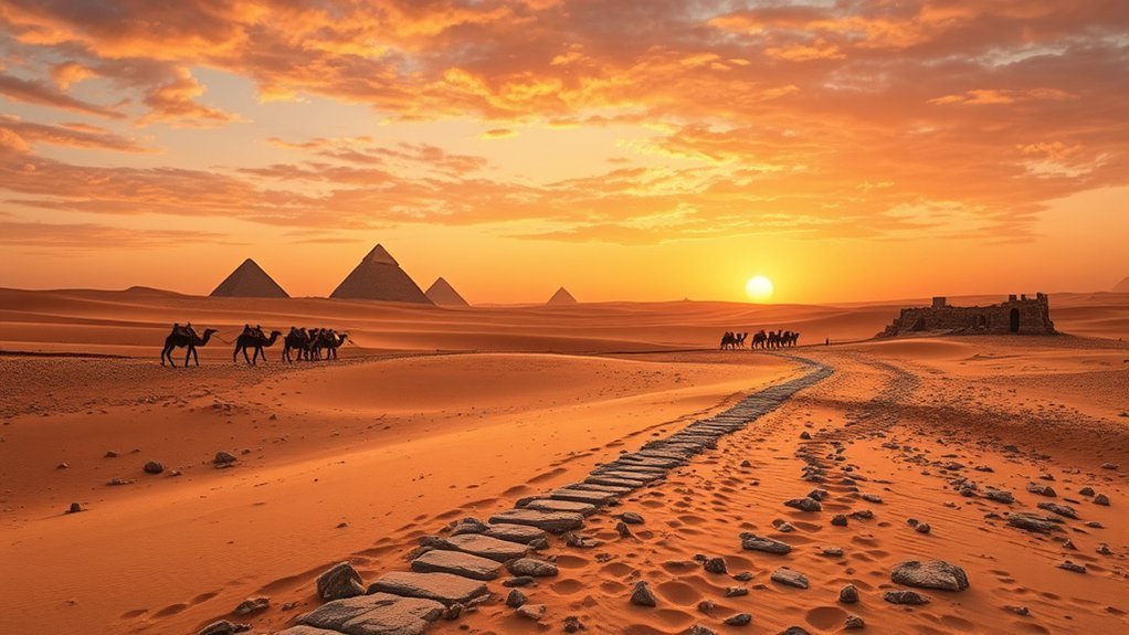
The ancient travel corridors connecting Canaan and Egypt pass several historical and archaeological sites that continue to be studied today:
- The Red Sea Crossing Point: Traditionally linked to the Gulf of Suez or the shallow northern marsh lakes (Reed Sea) near the Egyptian frontier.
- The Wilderness of Shur: The arid expanse situated directly east of the Nile Delta, serving as the primary barrier for travelers entering or exiting Egypt from the east.
- Mount Sinai (Jebel Musa): A dramatic mountain peak in the southern Sinai Peninsula revered as a major pilgrimage site for centuries.
- Jericho (Tell es-Sultan): Located near the Jordan River at the northern edge of the Dead Sea, Jericho is documented by archaeologists as one of the oldest continuously inhabited walled cities in human history.
The ancient travel paths between Canaan and Egypt represent a network of commercial highways and wilderness tracks — where merchants, patriarchal families, and historical armies crossed the desert frontier over thousands of years.
Essential Travel Tips and Safety for Retracing the Region
For researchers, students, and pilgrims exploring the history and geography of these ancient routes, understanding the climate and regional conditions is essential:
- Climate & Timing: Temperatures across the Sinai and Negev deserts exceed 100°F (38°C) during summer months. Historical or educational travel in safe areas is best undertaken between November and March.
- Terrain Demands: Inland desert paths require sturdy footwear, ample hydration, sun protection, and organized guidance.
Warning: Modern geopolitical conditions along parts of this historic corridor — including Gaza and sections of the northern Sinai Peninsula — involve elevated security risks and active conflicts. Travelers should strictly follow current official government travel advisories before planning visits to any border areas in this region.
Frequently Asked Questions
How far was biblical Canaan from Egypt?
Estimates place the direct travel distance at roughly 200 to 300 miles (320–480 km), depending on the starting point in Canaan (such as Hebron, Gaza, or Jerusalem) and the destination in Egypt (such as Goshen or Memphis).
Were there multiple routes between Egypt and Canaan?
Yes. Historians and archaeologists identify three primary routes: the coastal Via Maris (“Way of the Philistines”), the central desert “Way of Shur,” and the eastern “King’s Highway” across the Transjordan plateau.
How long would it take to travel from Canaan to Egypt on the direct route?
A caravan or individual traveling by foot or donkey along the flat coastal Via Maris could cover 15 to 20 miles per day, completing the 200-mile journey in roughly two to three weeks.
Why did the Exodus journey take 40 years instead of a few weeks?
The biblical account attributes the 40-year timeline to avoiding fortified military outposts along the short coastal route, prolonged stays at encampments like Mount Sinai and Kadesh Barnea, and a period of spiritual discipline for the nation.
Which biblical figures traveled from Canaan down into Egypt?
Key biblical figures who traveled from Canaan to Egypt include Abraham (Genesis 12), Joseph (Genesis 37), Jacob and his family (Genesis 46), and Jesus with Mary and Joseph during the Flight into Egypt (Matthew 2).
Conclusion
The travel corridor between Canaan and Egypt remains one of the most historically significant pathways in the ancient world. Whether considering the rapid 200-mile trade route along the Mediterranean coast (the Via Maris), the inland desert path along the Way of Shur, or the circuitous 40-year trek across the Sinai Peninsula described in Exodus, each route reflects a rich blend of history, geography, and biblical narrative. Understood through historical, geographical, and textual contexts, these ancient roads offer enduring insight into the connection between the Nile Delta and the Levant.
Sources
- Encyclopaedia Britannica: Via Maris — Historical background on the ancient coastal trade highway linking Egypt and the Levant.
- UNESCO World Heritage Centre: Saint Catherine Area — Archaeological details on Mount Sinai and Saint Catherine’s Monastery.
- Jaffa Municipal Heritage Site — Historical records on Jaffa as an ancient Levantine port city.
