

Last Updated on August 25, 2026 by Daniel Globe
The travel distance from Jerusalem to Cana (modern-day Kafr Kanna) is approximately 160 kilometers (99 miles) by road, or 107.5 kilometers (66.8 miles) in a direct straight line. Driving north takes between 1.5 to 2.5 hours depending on your chosen highway, regional traffic, and checkpoint routes. Whether you are driving a rental car along Route 6, taking public express buses via Afula and Nazareth, or hiking the famous Jesus Trail in the Galilee, planning your route in advance ensures a smooth and rewarding pilgrimage.
Quick Answer
Jerusalem to Cana is 160 km (99 miles) by road and takes 1 hr 45 min to 2 hrs 15 min by car via Highway 6 North. Public express buses (Egged 955/960) connect Jerusalem Central Bus Station to Nazareth or Afula in about 2 to 2.5 hours, where local buses (Lines 28, 31, or 334) complete the final 15-minute ride into Kafr Kanna.
Key Takeaways
- Driving Distance & Time: Expect ~160 km (99 miles) and 1.5–2 hours of driving via toll Highway 6 or 2.5 hours via the Jordan Valley (Route 90).
- Fastest Route: Route 1 West connecting to Route 6 North, exiting onto Route 77 toward Golani Junction and Route 754 into Kafr Kanna.
- Public Transit: Direct buses run from Jerusalem to Nazareth/Afula; require a smart transit card (Rav-Kav) or apps like Moovit/Pango.
- Shabbat Notice: Public buses and trains cease operations from Friday afternoon until Saturday evening after sundown.
- Hiking the Jesus Trail: The trail starts in neighboring Nazareth (not Jerusalem) and covers 14 km on its first stage directly into Cana.
At a Glance
| Total Distance | 160 km (99 miles) road driving | 107.5 km (66.8 miles) straight-line |
| Driving Time | 1 hr 45 min to 2 hrs 15 min (depending on route & traffic) |
| Recommended Routes | Highway 6 North (fastest, electronic toll) or Route 90 (scenic, non-toll) |
| Public Transit Options | Egged Bus 955 / 960 to Nazareth/Afula + Local Connector (2.5–3 hours) |
| Estimated Cost | ₪40–₪60 ($11–$16 USD) public transit | ₪100–₪140 ($27–$38 USD) fuel & toll |
Disclosure: As an Amazon Associate I earn from qualifying purchases. Some links on this page are affiliate links, at no extra cost to you.
How Far Is Jerusalem to Cana? Distance & Geographic Overview
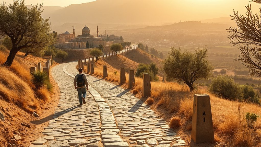
Geographically, Jerusalem is situated in the Judean Mountains at coordinates 31.7857° N, 35.2007° E, while Cana (Kafr Kanna) sits in the Lower Galilee at 32.7450° N, 35.3398° E. In a direct straight line, the two locations are separated by 107.46 kilometers (66.77 miles) across the rugged central spine of the region.
Because the terrain encompasses deep valleys, mountain ridges, and designated transport corridors, ground travel requires navigating around natural elevation changes. Road travel covers roughly 155 to 165 kilometers (96 to 103 miles), linking the Judean hills with the rolling olive groves and valleys of the Galilee.
“Moving from the stone hills of Jerusalem to the green valleys of Cana connects two of the most spiritually and historically significant landscapes in the Holy Land.”
Driving from Jerusalem to Cana: Routes and Travel Times
Driving by private car or rental vehicle offers the most flexibility for stopping at historic sites along the way. Travelers have three primary driving corridors to choose from when traveling between Jerusalem and the Galilee:
1. Route 6 North (Fastest & Most Reliable)
This is the standard and most efficient commercial route. You depart Jerusalem via Route 1 West, join Highway 6 (Cross-Israel Toll Highway) heading north, merge onto Route 77 East at the Ein Tut interchange toward Golani Junction, and take Route 754 directly into Kafr Kanna.
- Distance: ~160 km (99 miles)
- Driving Time: 1 hour 45 minutes to 2 hours
- Tolls: Highway 6 utilizes an automated license plate recognition toll system (billed through rental agencies or a toll transponder).
2. Route 90 via Jordan Valley (Scenic & Non-Toll)
This route heads east from Jerusalem on Route 1 toward the Dead Sea basin, turns north onto Route 90 through the Jordan Rift Valley, and climbs west near Beit She’an via Route 71 and Route 65 toward the Galilee.
- Distance: ~155 km (96 miles)
- Driving Time: 2 hours 15 minutes to 2 hours 30 minutes
- Road Conditions: Flat, well-paved two-lane highway with sweeping desert and agricultural views, bypassing central highway tolls.
3. Route 60 (Historic Way of the Patriarchs)
Route 60 runs straight through the central mountain spine of the West Bank (Judea and Samaria). While it is geographically direct, it is generally not recommended for standard tourist rentals due to security checkpoints and insurance restrictions imposed by most car rental companies.
Warning: Standard Israeli rental car insurance policies strictly prohibit driving through Area A and Area B of the West Bank. Always stick to Route 1/Route 6 or Route 90 unless you are traveling on an authorized guided tour.
Pro Tip: Use real-time navigation apps like Waze (which was developed in Israel) to avoid rush-hour bottlenecks around Jerusalem’s Route 1 exit and the Golani Junction interchange.
Public Transportation: Getting from Jerusalem to Cana by Bus & Train
Israel’s public transport network makes it easy and economical to reach Cana without driving. Because Kafr Kanna is a local municipality, travelers take an intercity express to a nearby hub (Nazareth or Afula) and transfer to a short local connector bus.
Intercity Bus Route (Recommended Public Transit)
- Depart from Jerusalem Central Bus Station (Level 3): Board Egged Bus Line 955 or Line 960 heading to Nazareth or the Afula Central Station (approx. 1 hour 45 minutes).
- Transfer to Local Bus in Nazareth / Afula: From Nazareth or Afula, catch local regional bus lines (such as Line 28, 31, or 334 operated by Superbus/Nazareth Transport) directly to the center of Kafr Kanna (15–20 minutes).
- Total Journey Time: Roughly 2.5 to 3 hours including transfer time.
Train + Bus Combination
Travelers can also take the high-speed rail line from Jerusalem Yitzhak Navon Station to Tel Aviv Savidor Central, transfer to the Jezreel Valley train line to Afula Station, and board a local bus to Cana. This option takes roughly 3 hours and is popular for travelers wishing to experience the scenic Jezreel Valley railway.
Note: Public transportation in Israel is entirely cashless. You must pay using an official Rav-Kav smart transit card loaded with credit or through validated mobile ticketing apps such as Moovit or Pango. Public transit services pause every week from Friday afternoon before sunset until Saturday evening after nightfall for Shabbat.
Comparison of Travel Options from Jerusalem to Cana
The table below summarizes the key trade-offs between speed, cost, and convenience across the primary travel methods:
| Travel Mode | Average Time | Approx. Cost (NIS / USD) | Key Advantage |
|---|---|---|---|
| Private / Rental Car | 1.5 – 2 hours | ₪100 – ₪140 ($27–$38) | Maximum flexibility; easily combine with Mount Tabor and Nazareth |
| Public Intercity Bus | 2.5 – 3 hours | ₪40 – ₪55 ($11–$15) | Budget-friendly, air-conditioned, direct highway routing |
| Train + Bus Transfer | 2.5 – 3 hours | ₪50 – ₪65 ($14–$18) | Comfortable rail seating with scenic Jezreel Valley views |
| Private Taxi / Transfer | 1.5 – 2 hours | ₪750 – ₪950 ($200–$260) | Direct door-to-door service without driving or navigating |
| Organized Day Tour | Full Day (8–10 hrs) | ₪350 – ₪500 ($95–$135) | Includes guided commentary, transport, and multiple Galilee sites |
Landmarks and Historic Stops Between Jerusalem and Cana
Breaking up the 160-kilometer drive allows travelers to explore notable cultural and biblical landmarks across central and northern Israel:
- Nazareth: Located just 7 km southwest of Cana, home to the Basilica of the Annunciation, the Church of St. Joseph, and bustling Old City markets.
- Mount Tabor: Rising dramatically from the Jezreel Valley, this historic peak is revered as the site of the Transfiguration of Jesus.
- Beit She’an National Park (via Route 90): One of the best-preserved Roman-Byzantine decapolis cities in the Middle East.
- Jezreel Valley Viewpoints: Panoramic overlooks showcasing agricultural fields, olive groves, and ancient trading routes.
Hiking & Pilgrimage: The Jesus Trail Connection
Many travelers inquire about walking from Jerusalem to Cana along pilgrimage paths. It is important to clarify that the official Jesus Trail does not start in Jerusalem; it is a 65-kilometer (40-mile) hiking trail situated in the Galilee that begins in Nazareth and finishes in Capernaum on the Sea of Galilee.
To walk the famous Cana trail section from Jerusalem:
- Travel from Jerusalem to Nazareth via bus or car (2 hours).
- Begin Stage 1 of the Jesus Trail at the Basilica of the Annunciation in Nazareth.
- Hike the marked 14-kilometer (8.7-mile) trail through the Zippori National Park olive groves and village paths into Kafr Kanna.
- The hike takes approximately 4 to 5 hours and is clearly marked with white and orange trail blazes every 150 meters.
Upon arriving in Cana, pilgrims commonly visit the Franciscan Wedding Church (commemorating the Miracle of turning water into wine recorded in John 2:1–11) and the nearby Greek Orthodox Church of St. George before resting at local guesthouses.
Essential Travel Tips for the Jerusalem to Cana Route
- Leave Early: Departing Jerusalem before 7:30 AM helps avoid heavy commuter traffic heading toward Tel Aviv on Route 1.
- Dress Modestly: Both the Catholic and Orthodox churches in Kafr Kanna enforce respectful dress codes (covered shoulders and knees).
- Carry Identification: Keep your passport and entry slip accessible for vehicle checkpoints along major regional highways.
- Hydration and Sun Protection: Northern Israel experiences high summer temperatures; carry at least 2 liters of water per person, especially if walking through village streets.
Frequently Asked Questions
How far is Cana from Jerusalem by car?
Cana is approximately 160 kilometers (99 miles) from Jerusalem by road. The fastest driving route via Highway 1 and Highway 6 North takes between 1 hour 45 minutes and 2 hours under normal traffic conditions.
Can you take a direct bus from Jerusalem to Cana?
There is no direct bus that terminates in Kafr Kanna from Jerusalem. Travelers take Egged express bus Line 955 or 960 from Jerusalem Central Bus Station to Nazareth or Afula (approx. 2 hours), and then transfer to local bus Line 28, 31, or 334 for the final 15-minute leg into Cana.
Is it safe to drive from Jerusalem to Cana?
Yes, driving between Jerusalem and Cana along primary national highways such as Route 1, Highway 6, Route 77, and Route 90 is safe and well-traveled. Stick to recognized highways, use live GPS navigation (Waze), and adhere to car rental terms regarding West Bank transit corridors.
Can you walk from Jerusalem to Cana on the Jesus Trail?
No, the Jesus Trail does not begin in Jerusalem. The Jesus Trail is a 65-kilometer regional trail in the Galilee starting in Nazareth. To hike to Cana on the trail, travel from Jerusalem to Nazareth first, and then hike Stage 1 (14 km / 4–5 hours) from Nazareth to Kafr Kanna.
What are the main biblical attractions to visit in Cana?
The two primary sites in Kafr Kanna are the Franciscan Wedding Church (built over ancient ruins associated with Jesus’ first miracle of turning water into wine) and the Greek Orthodox Church of St. George, which houses ancient stone jars associated with the miracle account.
Conclusion
Traveling the 160 kilometers from Jerusalem to Cana takes you from the historic stone streets of the capital into the rolling, fertile hills of the Lower Galilee. With a travel time of just 1.5 to 2 hours by car via Highway 6 or roughly 2.5 to 3 hours by public transit, Cana makes an accessible day trip or a natural gateway into the wider Galilee region. By selecting the right highway, keeping local transit cards or toll transponders handy, and allowing time to visit neighboring sites like Nazareth and Mount Tabor, you can ensure a seamless and deeply memorable journey.
Sources
- Israel Ministry of Transport and Road Safety — Official intercity route networks, public transit ticketing regulations, and road data.
- Egged Israel Transport Cooperative — Timetables and fares for express bus routes 955 and 960 from Jerusalem Central Bus Station.
- Israel Railways — High-speed Jerusalem to Tel Aviv and Jezreel Valley line schedules and transfers.
- The Jesus Trail Official Guide — Topographical mapping, trail waypoints, and distance logs for the Nazareth to Cana hiking stage.
- Israel Nature and Parks Authority — National heritage preservation details for historic sites and scenic corridors in the Galilee.
