
Last Updated on July 30, 2026 by Daniel Globe
The best hikes near Santa Monica range from short coastal overlooks to steep mountain loops with waterfalls, film locations, and wide Pacific views. Because these trails cross land managed by several agencies, mileage, dog rules, parking, and closures can change from one route to the next. This guide compares the strongest options and includes important 2026 access updates.
Quick Answer
For quick ocean views, choose Point Dume or Los Leones. Solstice Canyon is the best mix of shade, ruins, and a seasonal waterfall. Mishe Mokwa to Sandstone Peak suits experienced hikers, while Malibu Creek’s M*A*S*H site combines a moderate walk with film history. Always check current closures before leaving.
Key Takeaways
- Best quick coastal view: Point Dume Natural Preserve.
- Best shaded historic walk: Solstice Canyon Trail.
- Best strenuous summit: Mishe Mokwa to Sandstone Peak.
- Best film-location hike: the M*A*S*H site at Malibu Creek State Park.
- Important 2026 update: Temescal Gateway Park remains closed, and several Will Rogers trails remain unavailable during Palisades Fire recovery.
Warning: Temescal Gateway Park remains fully closed following the 2025 Palisades Fire. Will Rogers State Historic Park is open only with restrictions, and its Backbone, Rivas Canyon/Temescal, and Rustic Canyon trails remain closed. Check LA County trail alerts and the appropriate park page on the morning of your hike.
Disclosure: As an Amazon Associate I earn from qualifying purchases. Some links on this page are affiliate links, at no extra cost to you.
Top Trails for Ocean Views and Coastal Vistas
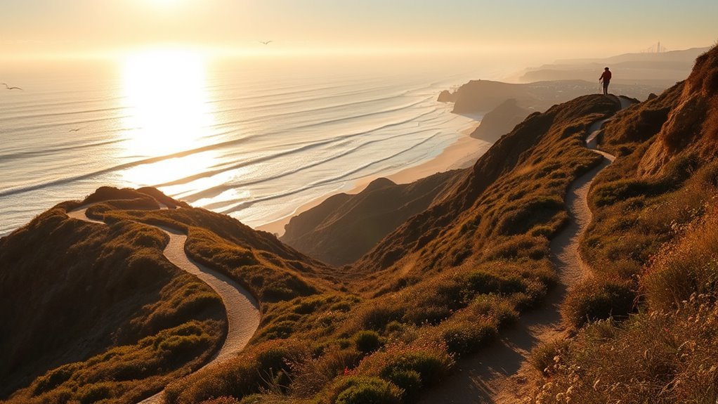
Ocean-view hikes near Santa Monica range from easy bluff walks to exposed summit routes. Distances can vary when a trail connects to fire roads or longer loops, so use the named route—not only the trailhead—when checking a map.
| Trail | Distance | Difficulty | Best For |
| Point Dume bluff trails | Short routes vary | Easy | Fast ocean views and sunsets |
| Los Leones Trail | 2.7-mile official segment | Moderate to difficult | A shaded start and climbing workout |
| Solstice Canyon Trail | 2.1 miles round trip | Easy to moderate | Shade, ruins, creek, and waterfall |
| Mishe Mokwa to Split Rock | 3.5 miles round trip | Moderate | Rock formations and a shaded picnic stop |
| Mishe Mokwa–Sandstone Peak | About 6 miles round trip | Strenuous | A major summit and broad mountain views |
Los Leones Trail
Los Leones Trail begins near Los Liones Drive in Pacific Palisades and climbs from a greener canyon into exposed chaparral. LA County lists the official segment at 2.7 miles with about 543 feet of elevation gain. Longer outings continue onto East Topanga Fire Road or toward Parker Mesa Overlook, so mileage from hiking apps may be much higher.
The trail offers increasingly broad views of the coast, Pacific Palisades, and Santa Monica. It is a strong choice when you want a steady climb close to the city, but midday sections can be hot and exposed.
Dog rule: Dogs are allowed on the Los Leones Day Use Trail but are prohibited after the route enters the main Los Leones Trail in Topanga State Park.
Point Dume Natural Preserve
Point Dume offers the quickest scenic payoff in this guide. A gradual trail rises across the coastal bluff to viewpoints over rocky headlands, sandy coves, and the Pacific. Short route combinations vary depending on whether you start near Cliffside Drive or Westward Beach and whether you descend the staircase toward Big Dume Beach.
This is a good option for a relaxed walk, photography, or sunset. Stay back from unstable cliff edges and observe all seasonal wildlife closures. Dogs are not allowed at Point Dume State Beach.
Solstice Canyon Trail
The National Park Service lists Solstice Canyon Trail as an easy-to-moderate 2.1-mile round trip. The route follows a shaded riparian corridor past the Keller House stone ruins to the remains of Roberts Ranch, also called Tropical Terrace, and a small waterfall.
For a harder outing with coastal views, experienced hikers can return by the steeper Rising Sun Trail when it is open. That combination is longer and more exposed than the basic canyon walk.
Mugu Peak
Mugu Peak rises sharply above the coast in Point Mugu State Park. Several route combinations reach the summit or connect with nearby trails, so the total distance depends on the selected trailhead and loop. Expect steep pitches, loose footing, limited shade, and strong coastal wind.
Check the current Point Mugu State Park map and restrictions before choosing a route. Dogs are not allowed on the park’s backcountry trails or dirt fire roads.
Mishe Mokwa and Sandstone Peak
Mishe Mokwa provides two useful choices. The moderate trip to Split Rock is 3.5 miles round trip and passes views of Balanced Rock before reaching a shaded oak grove. The longer Mishe Mokwa route to Sandstone Peak is about 6 miles round trip.
At 3,111 feet, Sandstone Peak is the highest point in the Santa Monica Mountains. The final summit spur is short but rocky, and the full loop includes exposed terrain with little dependable water.
Pro Tip: Save an official map before leaving home. Cell service can fade in canyons and around Circle X Ranch, and similarly named routes may produce very different mileage in hiking apps.
Moderate Day Hikes With Iconic Landmarks
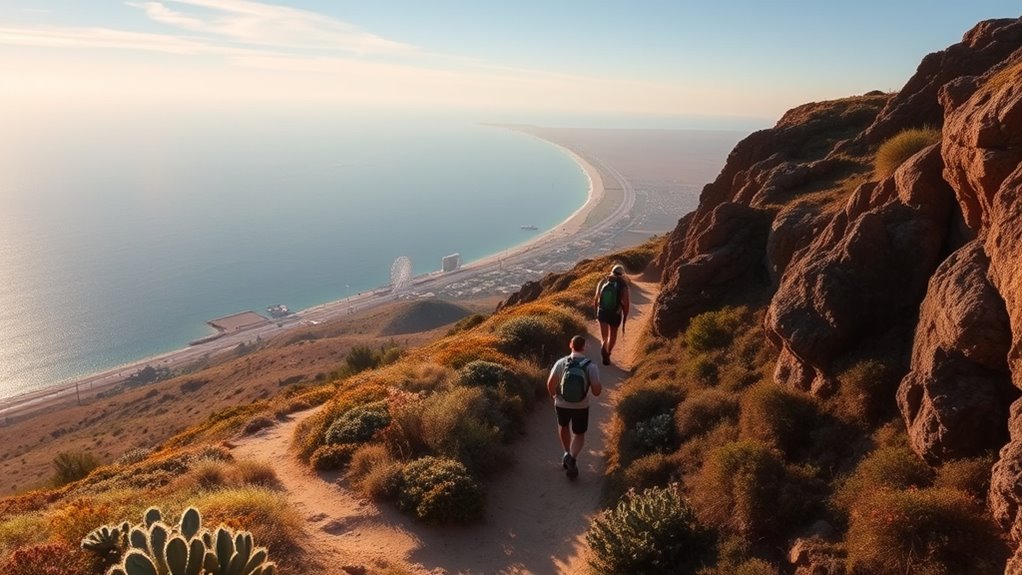
For a half-day hike, choose a route with one clear destination rather than combining several unnamed trail segments. Three of the strongest landmark hikes are Sandstone Peak, the M*A*S*H site, and the Roberts Ranch ruins in Solstice Canyon.
Sandstone Peak via Mishe Mokwa
The roughly 6-mile Mishe Mokwa–Sandstone Peak route combines Balanced Rock, Split Rock, chaparral-covered slopes, and the highest summit in the range. It is best for hikers who are comfortable with sustained climbing, rocky footing, and exposed sun.
M*A*S*H Site at Malibu Creek State Park
The surviving M*A*S*H television site is inside Malibu Creek State Park, not Paramount Ranch. California State Parks rates the hike as moderate. The route follows broad park roads and trails through the former Century Ranch landscape to equipment and interpretive remains associated with the television series.
Dogs are not allowed on Malibu Creek State Park’s hiking trails. The main day-use lot charges a parking fee, and park roads can become hot and exposed later in the day.
Solstice Canyon Ruins
Solstice Canyon combines natural and architectural landmarks in a relatively short outing. The Keller House ruins stand near the lower route, while the Roberts Ranch remains and waterfall sit farther up the canyon. Fences and closure signs protect unstable structures and sensitive habitat; view them from the designated trail.
The most rewarding landmark hike is not always the longest one. A clearly defined destination, an open trail, and enough time to return before sunset matter more than adding extra mileage.
- Choose Sandstone Peak for a strenuous summit.
- Choose Malibu Creek for television history and a moderate half-day outing.
- Choose Solstice Canyon for ruins, shade, and a shorter route.
Note: Temescal Gateway Park was once a common moderate-hike recommendation near Santa Monica, but it remains fully closed during Palisades Fire recovery. Do not enter through damaged gates, unofficial paths, or adjacent neighborhoods.
Family-Friendly and Easy Nature Walks
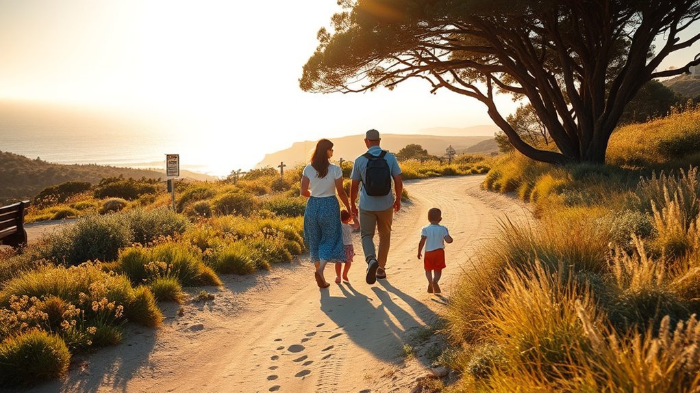
Easy does not always mean flat, paved, or stroller-friendly. Coastal bluff trails may have stairs, and canyon routes can include rocks, creek crossings, or muddy sections after rain. Match the route to the least experienced person in your group.
Solstice Canyon for a Shaded Family Walk
The lower Solstice Canyon Trail is the most practical family choice in this guide. The parking lot is paved, and the trail is paved for roughly its first half-mile. Benches and picnic areas appear along parts of the route, although the trail becomes more uneven as it approaches the ruins and waterfall.
A drinking fountain is normally available near the parking lot and another sits about a quarter-mile up the trail. Bring your own water anyway because fountains may be unavailable or crowded.
Point Dume for a Short Coastal Outing
Point Dume works well when a family wants scenery without committing to a half-day hike. The upper preserve trail climbs gradually, but the staircase to Big Dume Beach is not suitable for wheelchairs or most strollers. Keep children close near bluff edges.
Sycamore Canyon Improved-Access Route
At Point Mugu State Park, the Sycamore Canyon improved-access trail uses part of the campground road and Sycamore Canyon Fire Road. California State Parks describes it as an accessible out-and-back route of approximately 0.75 mile each way. Accessible parking and generally accessible restrooms are available near the campground facilities.
Corral Canyon Loop
The Sara Wan Trailhead at Corral Canyon provides a roughly 2.5-mile loop with coastal canyon views, wildlife habitat, parking, and picnic facilities. The trail is generally manageable for active families, but it is unpaved, exposed, and not a verified wheelchair route.
Will Rogers State Historic Park
Will Rogers State Historic Park reopened with limited access after the Palisades Fire. The polo field, main lawn, and picnic area are open, while parts of Inspiration Loop may be available or temporarily closed for restoration. The Backbone, Rivas Canyon/Temescal, and Rustic Canyon trails remain closed.
Because conditions are changing, check the official Will Rogers reopening FAQ before treating it as a hiking destination.
Challenging Routes for Trail Runners and Climbers

Experienced hikers and trail runners can find sustained climbs, loose rock, narrow single-track, and exposed ridges throughout the western Santa Monica Mountains. Mishe Mokwa–Sandstone Peak, Mugu Peak, and longer extensions from Solstice Canyon provide the strongest challenges discussed here.
Mishe Mokwa–Sandstone Peak Loop
This is the most complete strenuous hike in the guide. The route combines varied terrain, a significant summit, unusual rock formations, and long views across the range. Start early, carry more water than you expect to use, and leave enough daylight for slow travel over rocky sections.
Mugu Peak Routes
Mugu Peak’s steep grades make it suitable for strong hikers and runners who are comfortable controlling their pace on loose descents. Coastal wind and heat can change quickly, and fog may hide the view even when lower beaches are clear.
Solstice Canyon Extensions
The basic Solstice Canyon Trail is not a hard run, but Rising Sun, Sostomo, Deer Valley, and Backbone Trail connections can create longer outings when those routes are open. Use the official map to build the route and do not rely on an old track if signs indicate a closure or restoration area.
Los Leones Extensions
The official Los Leones segment provides a steady climb, while connections onto East Topanga Fire Road can turn it into a much longer endurance outing. Topanga State Park remains open with restrictions, so confirm that every connecting segment is available before committing to a long loop.
- Slow down on blind turns and yield according to posted trail rules.
- Do not wear headphones so loudly that you cannot hear cyclists, horses, wildlife, or warnings.
- Avoid exposed ridges during extreme heat, high wind, lightning, or red-flag fire conditions.
Warning: Seasonal creeks and waterfalls are not drinking-water sources. Carry your full supply, avoid stagnant water, and never assume a fountain will be working. Turn around if heat, dizziness, cramping, smoke, or worsening weather makes the planned route unsafe.
Historic Sites, Film Locations, and Park Gems
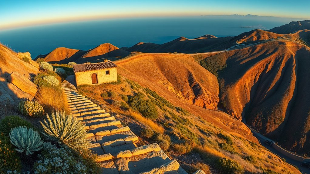
The Santa Monica Mountains preserve film history, ranching remains, and architecture alongside their natural landscape. The most useful distinction is that Paramount Ranch and the M*A*S*H site are separate destinations.
Paramount Ranch
Paramount Ranch has hosted decades of film and television production, including Dr. Quinn, Medicine Woman and Westworld. Much of the Western Town burned in the 2018 Woolsey Fire, while the train depot and chapel survived.
The ranch’s hiking trails remain available around posted work areas, but fenced construction zones, buildings, and movie sets are closed to public entry. Paramount Ranch normally offers parking, restrooms, water, picnic space, and leashed-dog access on designated trails.
Malibu Creek State Park
Malibu Creek State Park contains the M*A*S*H television site and landscapes used in many other productions. The park has a large trail network, but the mileage belongs to the overall system rather than to one “Malibu Lake Trail.” Dogs are prohibited on dirt roads and hiking trails.
Solstice Canyon
The Keller House and Roberts Ranch remains show two different periods of Malibu history. The Roberts home was designed by architect Paul Revere Williams. Fire and weather have left both locations fragile, so remain behind barriers and never climb walls or remove objects.
Circle X Ranch and the Grotto
Circle X Ranch provides access to Mishe Mokwa, Sandstone Peak, and canyon trails leading toward the Grotto area. The Grotto is a jumble of large boulders rather than a developed cave attraction. Wet rock can become slippery, and climbing into gaps carries fall and entrapment risks. Families should turn around where the terrain exceeds their comfort level.
How to Plan a Safe Santa Monica Mountains Hike
Check the Managing Agency
The trail network crosses National Park Service land, California State Parks, MRCA property, county trails, and local parks. Adjacent trails can therefore have different hours, fees, bicycle rules, and dog policies. Open the official page for the exact trailhead rather than relying only on a crowd-sourced app.
Review Closures on the Day of the Hike
Wildfire recovery, red-flag warnings, flooding, construction, and storm damage can close a trail with little notice. Posted gates and closure signs apply even when an older map shows the route as open.
Carry Water and Sun Protection
Many ridges have little shade. Carry sufficient water from the start, wear sun protection, and avoid the hottest part of the day. Waterfalls and streams shrink during dry periods and may disappear completely.
Prepare for Wildlife and Plants
Stay on the trail, watch where you place your hands and feet, and give rattlesnakes room to move away. Do not run from a mountain lion; remain upright, make yourself appear larger, and back away without crouching. Poison oak and ticks may occur in shaded canyons and brushy trail edges.
Protect Natural and Historic Features
Leave flowers, rocks, artifacts, film equipment, and ruins where they are. Pack out all trash, keep food away from wildlife, and avoid shortcuts that damage recovering vegetation.
Pro Tip: Arrive near opening time on weekends. Small lots at Solstice Canyon, Point Dume, Circle X Ranch, and popular coastal trailheads can fill early, and illegal roadside parking may result in a citation or tow.
Frequently Asked Questions
Are dogs allowed on these trails, and are leashes required?
Rules depend on the land manager. Leashed dogs are allowed on many National Park Service trails, including Solstice Canyon and Paramount Ranch, with a leash no longer than six feet. Dogs are not allowed on Malibu Creek, Point Mugu, Point Dume, or most Topanga State Park hiking trails. Los Leones permits dogs only in its day-use section. Check the exact park page before traveling.
What is the best time of year for wildflowers?
Wildflowers often appear from late winter through spring, but the strongest bloom window changes with rainfall, temperature, fire history, and elevation. Some years peak early; dry years may produce only scattered flowers. Stay on the trail and never pick blooms.
Are there parking fees or hiking permits?
Most ordinary day hikes do not require a hiking permit, but parking varies. Malibu Creek and Point Mugu have paid state-park lots, while several NPS trailheads offer free parking. Point Dume includes limited street or beach-lot options. Rates and payment systems can change, so check the official park page before arrival.
Which trails are suitable for strollers or wheelchairs?
The first roughly half-mile of Solstice Canyon Trail is paved, although later sections become uneven. Point Mugu’s Sycamore Canyon improved-access route is approximately 0.75 mile each way and has nearby accessible parking and restrooms. Point Dume’s upper trail is gradual, but stairs block wheelchair access to Big Dume Beach.
Are water and restrooms available?
Amenities are concentrated at developed trailheads. Solstice Canyon normally has restrooms and two drinking fountains near the lower trail. Paramount Ranch and major state-park lots also have facilities, but remote trailheads may have neither. Carry all the water you need and do not depend on a fountain being operational.
Is Temescal Canyon open in 2026?
No. Temescal Gateway Park remains fully closed because of damage from the 2025 Palisades Fire. The connecting Rivas Canyon/Temescal route from Will Rogers is also closed. Follow MRCA and California State Parks alerts for any future reopening announcement.
Which hike is best for children?
The lower section of Solstice Canyon is the best all-around family choice because it offers shade, historic ruins, benches, and the option to turn around early. Point Dume is better for a very short outing, but adults must supervise children closely near cliffs and stairs.
Conclusion
The best hike near Santa Monica depends on the experience you want. Point Dume gives you fast coastal scenery, Solstice Canyon combines shade with ruins and a waterfall, and Mishe Mokwa to Sandstone Peak provides the strongest summit challenge. Malibu Creek adds genuine M*A*S*H history, while Los Leones offers a convenient climb close to the city.
Whichever route you choose, confirm the exact trail, land manager, and current status before leaving. Fire recovery and seasonal conditions continue to affect this landscape, and a flexible plan is the safest way to enjoy it.
Sources
- National Park Service: Hiking in the Santa Monica Mountains — official route descriptions and distances.
- National Park Service: Solstice Canyon — amenities, accessibility, water, dog rules, and trail information.
- California State Parks: Point Mugu State Park — current restrictions, trails, hours, parking, and park rules.
- California State Parks: Malibu Creek State Park — M*A*S*H history, park facilities, parking, and dog restrictions.
- LA County Trails: Santa Monica Mountains Closures — current Temescal and MRCA closure information.
- California State Parks: Will Rogers Reopening FAQ — Palisades Fire recovery status and current trail restrictions.

