
Last Updated on July 30, 2026 by Daniel Globe
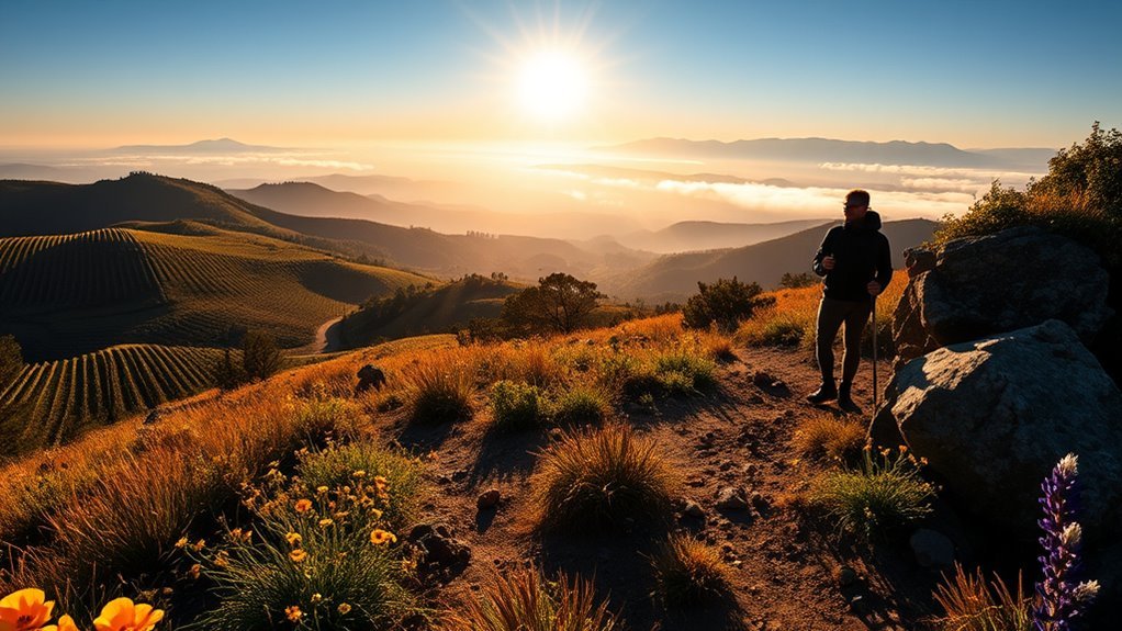
Sonoma County offers far more than vineyard walks. You can hike beneath old-growth redwoods, cross open grasslands, climb rugged mountain slopes, or follow bluffs above the Pacific. This guide compares the best Sonoma hikes by distance, difficulty, scenery, dog access, parking, and safety so you can choose a trail that fits your time and ability.
Quick Answer
Sonoma’s best hikes include Jack London and Sugarloaf for mountain climbs, Armstrong Redwoods for an easy forest walk, Bodega Head and the Kortum Trail for ocean views, and Taylor or Hood Mountain for challenging inland routes. Distances range from less than one mile to full-day hikes with major elevation gain.
Key Takeaways
- Best easy options: Armstrong Redwoods, Sonoma Valley Regional Park, Spring Lake, and Riverfront Regional Park.
- Best mountain views: Bald Mountain, Sonoma Mountain, Taylor Mountain, and Gunsight Rock.
- Best coastal scenery: Bodega Head, Kortum Trail, Goat Rock, and Pomo Canyon.
- Check dog rules carefully: leashed dogs are welcome at most Sonoma County Regional Parks, but they are prohibited on many California State Park trails.
- Check official conditions before leaving: wildfire activity, storm damage, mud, creek levels, and maintenance can close trails with little notice.
At a Glance
| Time Required | About 30 minutes for a short grove walk to 6 hours or more for a mountain route |
| Difficulty | Easy paved and compacted paths through strenuous climbs with more than 1,500 feet of gain |
| What to Bring | Water, downloaded map, supportive shoes, sun protection, layers, snacks, and a small first-aid kit |
| Typical Cost | Free to about $15 per vehicle; winery tours and tastings cost extra |
| Dog Access | Varies by park; verify the exact route before bringing a dog |
Disclosure: As an Amazon Associate I earn from qualifying purchases. Some links on this page are affiliate links, at no extra cost to you.
How to Choose the Right Sonoma Hike
Start with the amount of time you have and the type of landscape you want to see. Trail difficulty can change quickly when a route adds steep fire roads, exposed ridges, creek crossings, or loose coastal ground.
- Less than two hours: Wolf House at Jack London, Armstrong’s grove paths, Bodega Head, Sonoma Valley Regional Park, or the Spring Lake Loop.
- Two to four hours: Kortum Trail, Taylor Mountain, Sugarloaf’s Vista Trail, or a moderate Armstrong ridge loop.
- Four hours or more: Sonoma Mountain, Bald Mountain, Gunsight Rock, Hood Mountain, or Pomo Canyon.
- Redwoods: Armstrong Redwoods provides the easiest access, while longer routes continue into the more rugged Austin Creek area.
- Ocean views: Choose Bodega Head for a short outing or Kortum and Pomo Canyon for a longer coastal day.
- Leashed-dog hike: Focus on Sonoma County Regional Parks such as Taylor Mountain, Hood Mountain, Spring Lake, Crane Creek, or Riverfront.
Pro Tip: Download the official park map before leaving home. Cell service can be weak in mountain, canyon, redwood, and coastal areas, and several parks have networks where a missed junction can add miles.
Jack London State Historic Park Trails
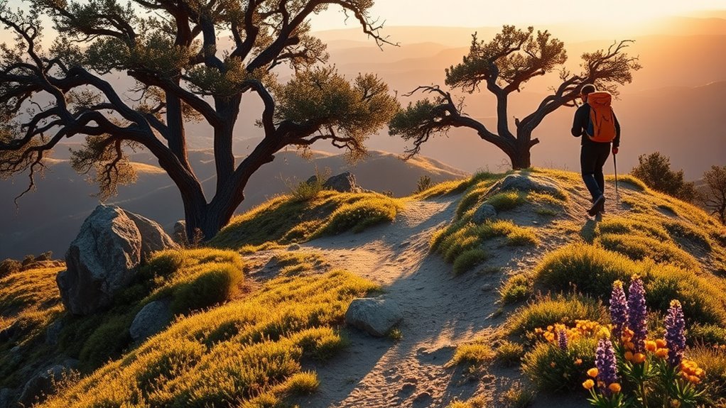
Jack London State Historic Park combines literary history with more than 29 miles of backcountry trails. Short historic walks begin near the museum and Beauty Ranch, while longer routes climb through oak woodland, mixed forest, and redwood groves.
Best Jack London Routes
- Wolf House ruins: The gently sloping trail is a little more than half a mile each way. Allow about an hour for the roughly one-mile round trip, especially if you stop at Jack London’s grave and the interpretive signs.
- Sonoma Mountain Trail: This difficult out-and-back route is more than eight miles. It climbs from about 600 feet to roughly 2,400 feet and normally requires around five hours.
- Sonoma Ridge Trail: The featured out-and-back route is approximately 9.5 miles to the park boundary, with about 1,500 feet of elevation change. Extending to the Eliot Family Loop produces a trip of roughly 12 miles.
- North Sonoma Mountain connection: Experienced hikers can use the Bay Area Ridge Trail connection for a point-to-point trip. Study the map and arrange two vehicles or a shuttle before starting.
Current published hours are 9 a.m. to 5 p.m., with separate hours for the museum and cottage. The current vehicle-entry charge is listed on the park’s hours and fees page.
Note: Leashed dogs are allowed in designated historic areas and on the Wolf House route, but not on the park’s backcountry trails.
Sugarloaf Ridge State Park Adventures
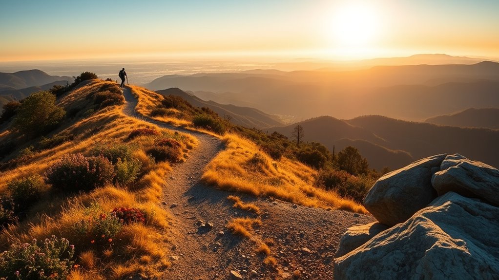
Sugarloaf Ridge State Park has more than 25 miles of trails through chaparral, oak woodland, forest, and the headwaters of Sonoma Creek. Its routes range from a short seasonal-waterfall walk to the 2,729-foot summit of Bald Mountain.
Recommended Sugarloaf Hikes
- Lower Canyon waterfall route: About 0.45 mile round trip with stairs and modest elevation change.
- Upper Canyon waterfall route: About 0.8 mile round trip with a steeper descent and roughly 100 steps.
- Pony Gate–Canyon Loop: Approximately two miles with about 450 feet of gain. This is the most complete waterfall outing when conditions are suitable.
- Vista Trail Loop: Approximately 4.1 miles with 600 feet of gain. Expect open slopes, seasonal creek crossings, wildflowers, and broad views.
- Bald Mountain: About 5.6 miles round trip with 1,529 feet of elevation gain. The summit provides wide views in several directions.
- Goodspeed Trail to Gunsight Rock: About 7.5 miles round trip with approximately 2,000 feet of gain. The route crosses into Hood Mountain Regional Park and is strenuous.
The park also contains the Robert Ferguson Observatory. Public programs follow a separate schedule and may require tickets, so check the observatory calendar rather than assuming it will be open after every hike.
Current day-use information, operating hours, and vehicle fees are listed on Sugarloaf’s official visitor-information page.
Warning: Much of Sugarloaf is exposed and can become very hot. Start early, carry more water than you expect to need, and turn around if you develop dizziness, nausea, unusual weakness, confusion, or a severe headache.
Armstrong Redwoods and Grove Walks
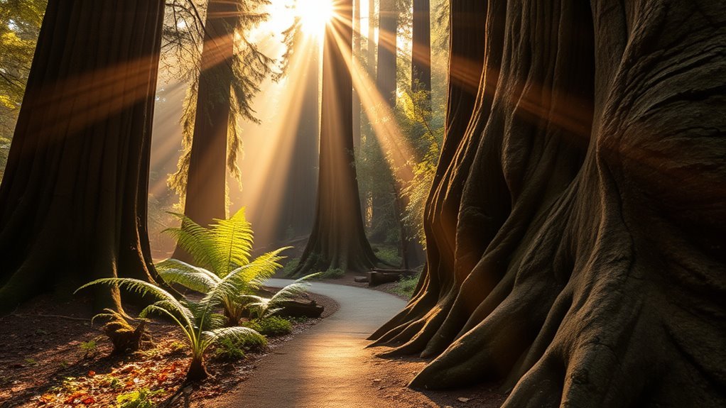
Armstrong Redwoods State Natural Reserve is the best choice when you want an easy walk beneath coast redwoods. The adjoining Austin Creek State Recreation Area provides longer, hotter, and more demanding backcountry routes.
Easy Grove Walks
- Short grove visit: Walk from the entrance parking area to the Colonel Armstrong Tree and Forest Theater for a round trip of less than one mile.
- Pioneer Nature Trail: A mostly flat, accessible redwood route of about 1.5 miles round trip that passes the reserve’s main features.
- Discovery Trail: A 0.21-mile accessible segment connecting Pioneer Nature Trail with the Colonel Armstrong Tree parking area.
- Armstrong Nature Trail: A 0.28-mile accessible compacted-soil route through dense redwood canopy.
Longer Armstrong and Austin Creek Routes
- East Ridge loop: Approximately 2.2 miles with about 400 feet of climbing.
- Pool Ridge loop: Approximately 2.3 miles with around 500 feet of steady climbing and several switchbacks.
- Combined ridge loop: Approximately 3.3 miles, combining East Ridge and Pool Ridge.
- Long ridge loop: Approximately 5.6 miles with about 1,100 feet of gain.
- Bullfrog Pond route: Approximately nine miles and better suited to prepared hikers familiar with the Austin Creek backcountry.
The reserve currently charges a vehicle day-use fee, whether you drive into the grove or use the main entrance lot. Parking along Armstrong Woods Road must not block the roadway, private driveways, or signed no-parking areas.
Current Conditions Note: California State Parks listed the East Ridge Connector Trail from the Volunteer Office parking area as closed on July 22, 2026. Check the park’s current-restrictions notice before choosing a ridge route.
Sonoma Coast and Kortum Trail Highlights
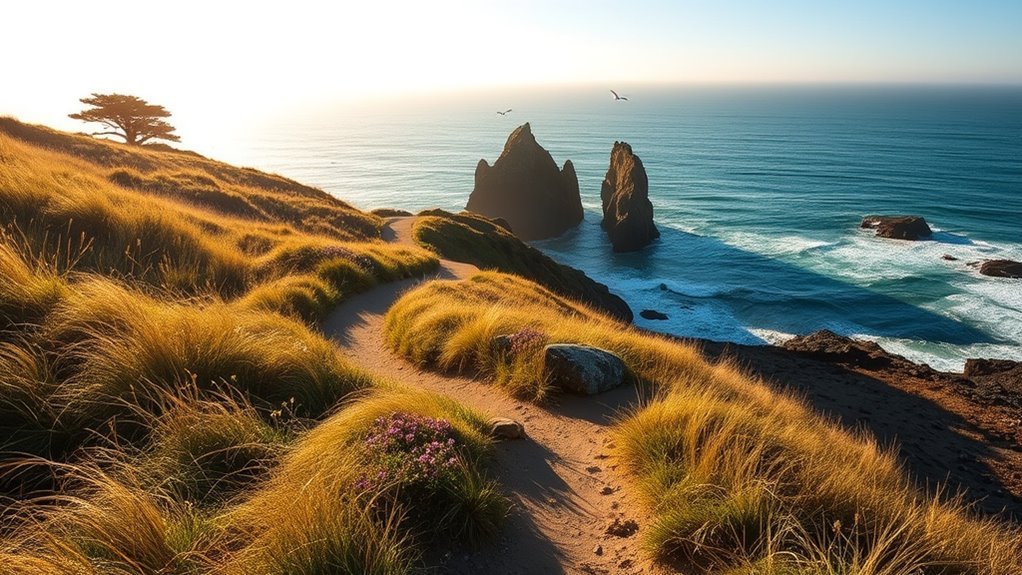
The Kortum Trail follows coastal prairie and bluff-top terrain between the Blind Beach and Shell Beach areas. California State Parks lists it as approximately 2.5 miles one way, making the complete out-and-back close to five miles.
- Trail length: About 2.5 miles one way or roughly five miles out and back
- Typical time: Around two to three hours for the full out-and-back, depending on stops and footing
- Difficulty: Easy to moderate, with uneven ground and exposed coastal weather
- Best season: Year-round when conditions are safe; spring often brings wildflowers
- Dog rule: Dogs are not allowed on Sonoma Coast State Park trails
Goat Rock is a separate stop north of the Kortum Trail. It is worth visiting for views of the Russian River mouth, harbor seals, offshore rocks, and the rugged shoreline, but do not approach resting wildlife.
For a longer and more strenuous outing, the Pomo Canyon Trail from Shell Beach is approximately seven miles round trip. It climbs from the coast into forested terrain and can feel much warmer away from the ocean.
Warning: Sonoma Coast beaches are not recommended for swimming or wading. Cold water, rip currents, sudden large waves, shore break, drop-offs, and unstable cliffs can be deadly. Stay on marked trails, remain behind barriers, and keep well back from bluff edges.
Bodega Head and Coastal Vistas
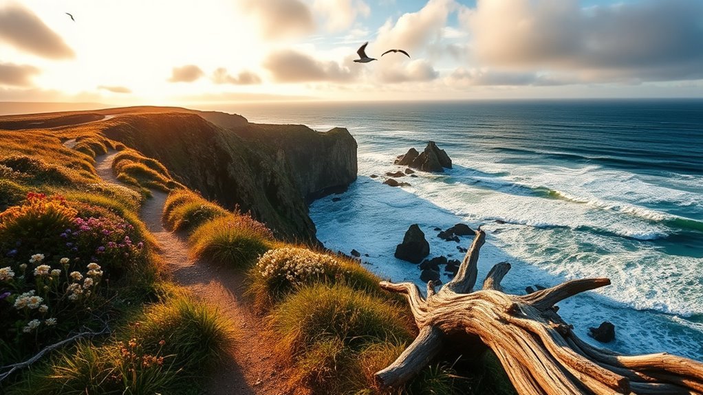
Bodega Head is one of Sonoma County’s best short coastal hikes. The 1.89-mile Bodega Head Nature Trail begins near the western parking area at the end of Westshore Road and provides views of the Pacific Ocean, Bodega Bay, and Tomales Bay.
The compacted trail is generally gentle, although short sections have steeper grades. Accessible parking and restrooms are available at the trailhead. Allow about 45 to 90 minutes so you have time to stop at the viewpoints.
Bring binoculars during whale-migration periods. Gray whales travel south toward Mexico in fall and winter, while the northward migration begins in late winter. Mothers with calves commonly travel north along the West Coast from March through May.
The headland is exposed to strong wind and fast-changing fog. Bring a wind-resistant layer even when inland Sonoma is warm and sunny.
Taylor Mountain Regional Park Routes
Taylor Mountain Regional Park and Open Space Preserve now offers approximately 15 miles of trails across 1,100 acres. The network crosses grasslands, seasonal wetlands, oak woodland, and exposed slopes below the mountain’s roughly 1,403-foot summit.
Trails are open to hikers, cyclists, and equestrians, so stay alert at junctions and on narrow sections. Leashed dogs are allowed. Current standard parking is charged at the developed trailheads, while membership passes may cover entry.
Trail Options Overview
Taylor Mountain’s expanded network lets you build anything from a short walk to an eight-mile outing. Check the latest map because older guides may show only the original trail system.
- Short natural-play-area walk: A family-friendly option near the Kawana Terrace entrance.
- Western Route: A steadier approach that can be combined with summit and connector trails.
- Eastern Route: A steeper climb with exposed grassland and broad views.
- Redtail and newer connectors: Useful for building longer loops through the expanded southern trail network.
- Summit routes: Reward the climb with views across Santa Rosa, the Laguna de Santa Rosa, the Coast Range, and the Mayacamas.
Difficulty and Tips
Taylor Mountain can feel harder than its elevation suggests because many routes are exposed, steep, and muddy after rain. The climb from the Kawana Terrace area toward the upper mountain can involve approximately 1,100 feet of ascent.
Carry water because shade is limited on many routes. In the wet season, avoid widening muddy trails by walking around puddles. During hot weather, begin early and choose a shorter loop.
The park provides accessible parking, a picnic area, and an accessible portable restroom. Most hiking routes are unpaved and should not be assumed to be wheelchair accessible.
Hood Mountain and Challenging Climbs
Hood Mountain Regional Park and Open Space Preserve is a roughly 2,000-acre wilderness park with more than 19 miles of trails. Its 2,730-foot summit is the highest peak in the Mayacamas Mountains, although nearby Gunsight Rock generally provides the more dramatic viewpoint.
- Los Alamos Road entrance: Useful for reaching upper-elevation routes and shorter combinations.
- Pythian Road entrance: Starts lower and creates longer, steeper climbs.
- Gunsight Rock: The main scenic goal for many hikers, with views across Sonoma Valley.
- Sugarloaf connection: Longer routes can cross between Hood Mountain and Sugarloaf Ridge State Park.
- Santa Rosa Creek: Provides a gentler option from the Los Alamos side when a summit climb is not suitable.
Expect rocky surfaces, steep grades, creek crossings, and limited cell service. Carry a paper or downloaded map, tell someone your route, and set a turnaround time.
Dog Rule: Leashed dogs are allowed in Hood Mountain Regional Park. Do not continue with a dog into adjoining Sugarloaf Ridge State Park, where dogs are prohibited on trails.
Easy Strolls: Parks for Casual Hikers
You do not need to climb a mountain to enjoy Sonoma’s scenery. These parks offer flatter surfaces, flexible distances, and easier access to restrooms and picnic areas.
- Sonoma Valley Regional Park: The paved, ADA-accessible Valley of the Moon Trail runs 1.2 miles one way beneath oak canopy. Unpaved connectors can extend the walk.
- Spring Lake Regional Park: Nearly 10 miles of trails, including a popular 2.3-mile paved loop around the lake.
- Crane Creek Regional Park: About 3.5 miles of trails through grassland and oak habitat, plus an 18-hole disc-golf course.
- Riverfront Regional Park: A mostly level, two-mile multiuse trail circles Lake Benoist and works well for birdwatching.
- Gualala Point Regional Park: Choose a short river, beach, or campground walk, or extend the day onto nearby bluff-top coastal trails.
Leashed dogs are welcome at these regional parks, although special-use areas may have additional restrictions. Parking fees and seasonal charges vary by location.
Hike and Wine: Trails Near Wineries
A morning hike can pair well with a reserved afternoon tasting, but winery access changes more often than public-park access. Confirm the current activity, price, age policy, and reservation requirements directly with each property.
- Kunde Family Winery: The official events calendar may list vineyard walks or special outdoor programs, but do not assume a self-guided estate trail is open. Check the current Kunde events calendar.
- Benziger Family Winery: The Biodynamic Tractor Tour is a guided tram experience rather than a hike. A separate premium estate tour includes the wine cave.
- Bartholomew Park: The property offers approximately three miles of hiking trails through vineyards, oak woodland, madrones, and redwoods. The official hiking page lists current trail hours and conditions.
- Best schedule: Hike in the cool morning, eat and rehydrate, then attend a reserved tasting.
Warning: Complete strenuous exercise before drinking alcohol, continue hydrating, and arrange a designated driver or other sober transportation. Do not attempt another exposed trail after a tasting.
Best Time to Hike in Sonoma
- Spring: Often the best season for green hills, waterfalls, wildflowers, and comfortable inland temperatures. Trails may still be muddy after storms.
- Summer: Redwood and coastal routes can remain cool, but exposed inland parks may become dangerously hot. Start early and avoid peak afternoon heat.
- Fall: Usually offers dry trails and clear views, but wildfire conditions, smoke, and red-flag closures are possible.
- Winter: Brings waterfalls, fewer crowds, and greener scenery. Expect mud, creek crossings, storm damage, and shorter daylight hours.
- Coastal weather: Fog and wind can occur in any month, even when Sonoma Valley is hot.
The best Sonoma trail is not always the longest one—it is the route that matches the day’s heat, wind, trail conditions, available daylight, and your group’s ability.
Parking, Fees, and Trailhead Logistics
Fees can change, but current published charges provide a useful planning range:
- Jack London State Historic Park: Currently lists a $15 vehicle-entry fee.
- Sugarloaf Ridge State Park: Currently lists a $10 regular vehicle fee.
- Armstrong Redwoods: Currently lists a $10 regular vehicle fee.
- Sonoma Coast State Park: Charges apply at designated campground parking areas; many roadside coastal lots operate differently.
- Sonoma County Regional Parks: Developed lots commonly charge $8, with seasonal exceptions such as higher summer charges at selected parks.
Arrive early on weekends, holidays, spring wildflower days, and clear coastal mornings. Never park across a private driveway, outside a marked space, or along a narrow road where your vehicle blocks emergency access.
Sonoma Hiking Safety
- Carry enough water: Do not depend on finding potable water at a trailhead or along a route.
- Watch for heat illness: Heavy sweating, weakness, dizziness, nausea, headache, confusion, or fainting require immediate action. Stop, move to a cooler place, and seek medical help when symptoms are severe or do not improve.
- Check for ticks: Walk near the center of the trail, use an appropriate repellent, and inspect your body, clothing, children, and pets after the hike.
- Avoid poison oak: Stay on the trail and do not touch unfamiliar three-leaf plants. Oils can transfer from clothing, shoes, trekking poles, and pet fur.
- Give wildlife space: Never handle or corner snakes, feed animals, or approach seals and other coastal wildlife.
- Prepare for limited reception: Download the map and share your route and expected return time with someone who is not on the hike.
- Check fire and weather conditions: Wind, smoke, red-flag warnings, active fires, storms, and flooding can make an otherwise familiar trail unsafe.
- Leave before dark: Park gates may close at a fixed time or at sunset. Allow extra time for wrong turns, breaks, and slower members of your group.
Sources
- Jack London State Historic Park — Historic and Backcountry Trails — official trail mileage, uses, difficulty, and dog restrictions
- Sugarloaf Ridge State Park — Hiking Guide — route distances, elevation gain, exposure, and hiking times
- California State Parks — Armstrong Redwoods — current restrictions, fees, hours, and reserve information
- California State Parks — Sonoma Coast State Park Infosheet — Bodega Head, Kortum Trail, Pomo Canyon, fees, pet rules, and coastal warnings
- Sonoma County Regional Parks — Find a Park — current regional-park facilities, parking, dog access, and trail information
- National Weather Service — Heat Illness Safety — heat-exhaustion and heat-stroke symptoms and response
Frequently Asked Questions
Are dogs allowed on Sonoma hiking trails?
Rules depend on the managing agency. Leashed dogs are allowed at most Sonoma County Regional Parks, including Taylor Mountain, Hood Mountain, Spring Lake, Crane Creek, and Riverfront. Dogs are prohibited on most trails at Jack London, Sugarloaf, Armstrong Redwoods, and Sonoma Coast State Park. Check the exact park and route before leaving.
What are the most important safety tips for hiking in Sonoma’s heat?
Start early, choose a route with shade, carry ample water, wear sun protection, and shorten the hike when temperatures rise. Stop immediately for dizziness, nausea, unusual weakness, confusion, fainting, or a severe headache. Move to a cooler area and seek medical help if symptoms are serious or do not improve.
Where can hikers find public restrooms?
Restrooms are available at many developed trailheads, including Jack London’s museum and ranch parking areas, Sugarloaf’s main day-use area, Armstrong Redwoods, Bodega Head, Taylor Mountain, Spring Lake, Crane Creek, Riverfront, and Gualala Point. Remote entrances and backcountry routes may have no facilities, so check the official park page first.
Which Sonoma trails are wheelchair or stroller accessible?
Good options include Armstrong Redwoods’ Pioneer, Discovery, and Armstrong nature-trail areas; the paved Valley of the Moon Trail at Sonoma Valley Regional Park; the paved Spring Lake Loop; and the compacted Bodega Head Nature Trail. Surface conditions and slopes vary, so review the official accessibility page before visiting.
What parking fees or permits should hikers expect?
Most day hikes do not require a separate hiking permit. Developed parking generally costs between about $8 and $15 per vehicle, depending on the park and season. Point-to-point hikes may require two vehicles or a shuttle, and winery activities usually require a separate paid reservation.
What is the best Sonoma hike for a first-time visitor?
Choose Armstrong Redwoods for an easy forest experience, Bodega Head for a short coastal hike, or Jack London’s Wolf House route for a mix of nature and history. Each can be completed without committing to a steep, all-day climb.
Can you hike in Sonoma County year-round?
Yes, but the best route changes with the weather. Coastal and redwood hikes are often comfortable in summer, while exposed mountain parks are better on cool days. Winter can bring mud, high creeks, and storm damage, and fall may bring smoke or wildfire closures.
Conclusion
Sonoma County has a trail for nearly every schedule and ability. Walk beneath redwoods at Armstrong, follow Pacific bluffs at Bodega Head or Kortum Trail, explore history at Jack London, or tackle the climbs at Sugarloaf, Taylor Mountain, and Hood Mountain. Check official conditions, choose a route that matches the weather, carry water and layers, and leave enough time to return before the gates close.
