

Last Updated on July 30, 2026 by Daniel Globe
Oakland and the surrounding East Bay hills offer redwood forests, volcanic geology, reservoir paths, shoreline walks, and steep summit climbs. The best hike depends on how much time you have, how hard you want to work, and whether you need shade, accessible pavement, dog-friendly terrain, or wide-open views. This guide compares the strongest options and explains the access details that matter before you leave.
Quick Answer
For redwoods close to Oakland, choose Reinhardt Redwood Regional Park or Joaquin Miller Park. Huckleberry is best for a short botanical hike, Sibley for volcanic scenery, Nimitz Way or Point Pinole for gentler terrain, Lake Chabot for a longer waterside outing, and Mission Peak for a demanding summit day.
Key Takeaways
- Best shaded hike: Reinhardt Redwood Regional Park, especially the Stream Trail area and forested trail network.
- Best short nature loop: Huckleberry Botanic Regional Preserve’s 1.7-mile interpretive loop.
- Best accessible paved option: Nimitz Way from Inspiration Point; Point Pinole also has an ADA-accessible entrance and paved routes.
- Best hard hike: Mission Peak, which typically takes about five hours for the summit trip.
- Check conditions first: Storm damage, wildfire restrictions, water advisories, and trail closures can change access with little notice.
Disclosure: As an Amazon Associate I earn from qualifying purchases. Some links on this page are affiliate links, at no extra cost to you.
Best Hikes Near Oakland at a Glance
At a Glance
| Reinhardt Redwood Regional Park | Redwoods and shade; easy paved sections plus steep natural trails |
| Joaquin Miller Park | Urban forest, redwood groves, picnic areas, and flexible loop choices |
| Huckleberry Botanic Regional Preserve | 1.7-mile botanical loop; narrow, natural trail; no dogs |
| Leona Canyon Regional Open Space | Wooded canyon near Merritt College; current storm-damage break affects through access |
| Sibley Volcanic Regional Preserve | Volcanic geology, open hills, interpretive walking, and panoramic views |
| Lake Chabot Regional Park | Paved shore trails and long route options; no swimming |
| Mission Peak Regional Preserve | Steep, exposed summit hike; roughly five hours for most visitors |
| Tilden and Wildcat Peak | Accessible Nimitz Way or a separate steep climb to Wildcat Peak |
| Point Pinole Regional Shoreline | Bay breezes, level routes, birding, picnics, and shoreline views |
Warning: Check the East Bay Regional Park District alerts page on the day of your hike. As of July 30, 2026, Leona Trail is broken by a failed culvert near Artemisia Trail, and the Bay Trail east of Point Pinole’s Atlas Bridge is closed because of a sinkhole.
Reinhardt Redwood Regional Park

Reinhardt Redwood Regional Park is the strongest close-to-Oakland choice when you want cool shade and a true forest setting. Extensive logging removed the original forest in the mid-1800s, but tall coast redwoods now fill the canyon again. The park has nearly 40 miles of trails, so you can build anything from a short family walk to a demanding ridge-and-canyon loop.
For an easier outing, start at Canyon Meadow and follow the Stream Trail through the redwood canyon. Parts of this route are paved, and the nearby fishway interpretive site explains the history of rainbow trout in the Redwood Creek drainage. Fishing is not allowed. For a harder hike, use the official map to connect Stream Trail, Tres Sendas Trail, and French Trail; expect roots, steep grades, and slippery surfaces after rain.
Waterloo Staging Area is a real Skyline Boulevard access point, but it is not the simplest starting place for every redwood route. Canyon Meadow, Skyline Gate, and Redwood Bowl each serve different parts of the trail system, so match the entrance to your planned route before driving.
Pro Tip: Download the park map before entering the canyon. Cell service is limited or absent in much of the park, and the trail network has many junctions.
Joaquin Miller Park
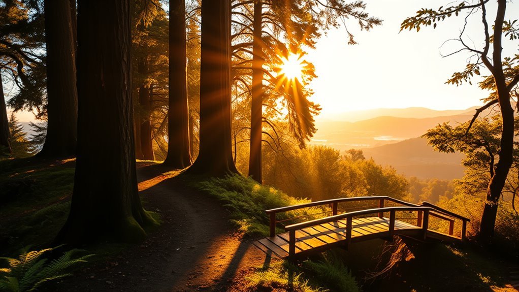
Joaquin Miller Park gives you a wooded trail escape within Oakland. Its roughly 500 acres include redwood groves, oak woodland, creeks, meadows, picnic areas, and trails used by hikers, runners, mountain bikers, and equestrians.
The Big Trees and Sunset trails are useful building blocks for a shaded loop, while the Sequoia Bayview and West Ridge areas can add distance and climbing. Because several trail users share the park, stay alert at bends, keep right when practical, and yield as posted. The city trail map is worth carrying because short connectors make it easy to change the length of your hike.
Near the Woodminster Amphitheater, the Woodminster Cascades and stonework add a historic stop to the outing. Dogs are allowed on leash in the park, and a fenced off-leash dog area is available on park property. Use posted signs because trail and dog rules can differ from those in neighboring East Bay Regional Park District lands.
Huckleberry Botanic Regional Preserve
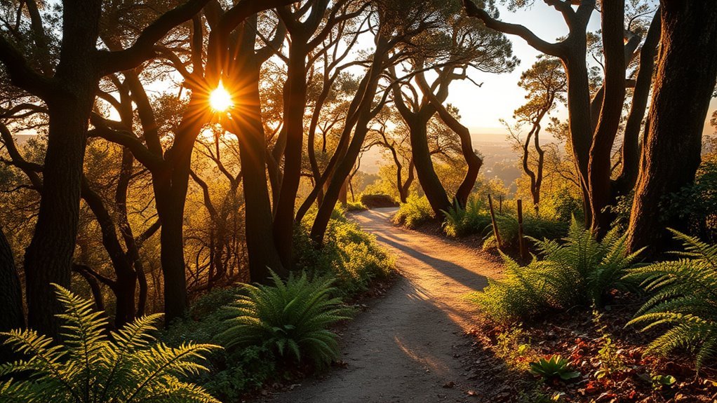
Huckleberry Botanic Regional Preserve protects a plant community that is unusual for the inner East Bay. Its self-guided nature path is a 1.7-mile loop that drops into mature bay forest, follows the hillside, and climbs back to the botanically rich upper trail.
Huckleberry Trail Loop
The complete loop is short but not effortless. The Park District says the natural path crosses varied terrain and is maintained to minimum standards, so expect narrow tread, roots, uneven footing, and a real climb back to the upper trail. Visitors who want a less strenuous walk can stay on the upper portion and still see many interpretive stops.
This preserve is not a stroller or wheelchair route. Dogs, bicycles, and horses are prohibited on the interpretive loop because the habitat is fragile; dogs and horses are allowed only on the Skyline National Trail along the preserve boundary.
Seasonal Wildflower Timing
Winter through spring usually brings the most noticeable bloom activity, including currants, Western leatherwood, and huckleberry flowers, but weather shifts the timing each year. Go after a stretch of mild weather, move slowly, and use the interpretive information to identify the preserve’s coast-influenced plant community. Do not pick flowers or step off trail for photographs.
Note: Huckleberry is best for careful nature study, not speed, jogging, or a casual off-leash dog walk.
Leona Canyon Regional Open Space
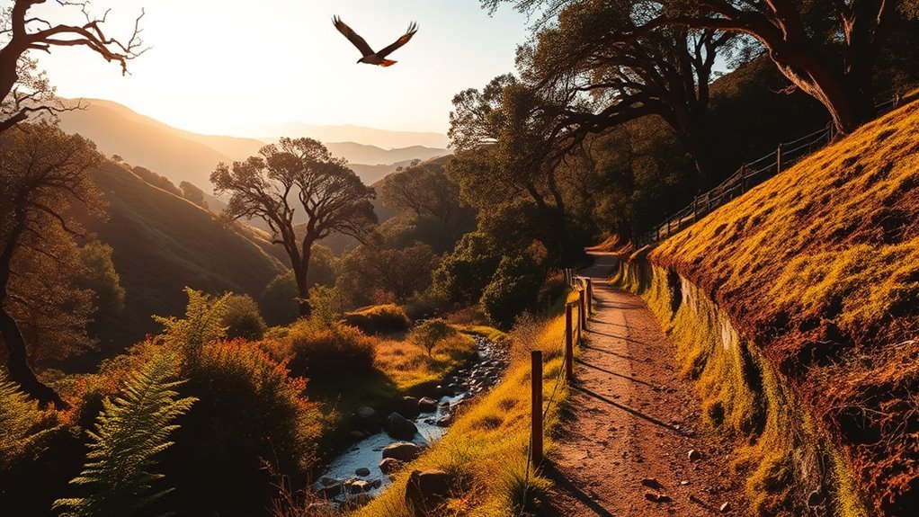
Leona Canyon Open Space Regional Preserve protects a wooded 290-acre canyon near Merritt College. The correct access points are the Campus Drive staging area off Keller Avenue and the Merritt College walk-in entrance. Dimond Canyon Trail begins in a separate Oakland park system and should not be described as Leona Canyon’s Fruitvale Avenue trailhead.
Trailheads and Routes
Normally, Leona Trail follows the canyon between the two access points, but it should currently be treated as two separate out-and-back hikes. A failed culvert near Artemisia Trail is impassable, the trail no longer connects through, and visitors should avoid the damaged area because of continued landslide risk. Merritt College parking charges a fee and is closed on weekends; the Campus Drive side is the more dependable weekend approach.
Flora and Creek
The canyon supports bay trees, oaks, buckeyes, blackberry, horsetail, and other plants along Rifle Range Creek. Stay on the trail and out of the creek. Restoration work is intended to reduce erosion and protect the riparian habitat, and both people and dogs are prohibited from entering the water. Keep a dog leashed if it will not reliably stay out of the creek.
Sibley Volcanic Regional Preserve
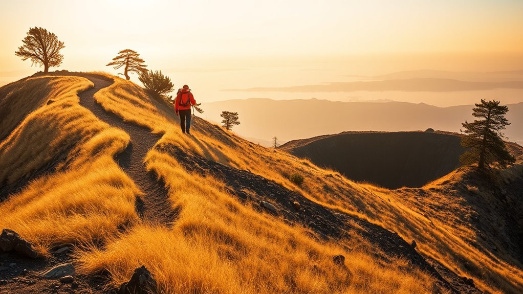
Sibley Volcanic Regional Preserve is the best geology-focused hike in the Oakland Hills. Round Top is made of lava and volcanic debris from a volcano active about 10 million years ago. Later uplift, erosion, and quarrying exposed rock layers that make the preserve an outdoor geology classroom.
Start from the Skyline Boulevard staging area and use the self-guided volcanic tour or official trail map to choose a loop that fits your time. The trails mix open sun, grassland, quarry cuts, and broad ridge views. The stone labyrinths found in former quarry pits are popular landmarks, but they are not a single standardized two-mile route with a guaranteed elevation figure; your distance depends on the trail combination you choose.
Bring sun protection and wind layers. Sibley can feel much hotter than the redwood canyons on still summer days and much colder when fog and wind cross the ridge.
Lake Chabot Regional Park Shore Trails and Longer Loops
Lake Chabot Regional Park offers more than 20 miles of hiking trails, including 3.52 miles of paved East Shore and West Shore trails. These shore routes are the easiest way to enjoy reservoir views without committing to a full-day loop.
The original claim of an 8.65-mile reservoir loop is too specific because the distance changes with the trails and connectors used. Officially mapped bicycle loops are much longer—12.42 miles by one route and 14.41 miles by another—and hikers can create several long combinations through Lake Chabot and adjoining Anthony Chabot Regional Park. Carry the official map and allow extra time for a full circuit.
The main marina entrance has parking, restrooms, picnic areas, a café, and boat services. Parking is currently $5 per vehicle. Swimming is never allowed because the reservoir remains a standby emergency water supply. Check current water-quality notices before allowing pets near the shoreline; a blue-green algae caution advisory was posted on July 30, 2026.
Warning: Do not enter Lake Chabot. Keep children and pets from contacting water when a harmful-algae advisory is posted.
Mission Peak Regional Preserve
Mission Peak Regional Preserve is the hardest hike in this guide and is farther from Oakland than the hill parks. The summit hike is more than three miles each way, and the Park District advises allowing about five hours for the round trip.
Start at Ohlone College for a slightly longer but more gradual ascent and far more parking. The college currently charges $4 to park. The Stanford Avenue route is steeper and has only 43 spaces, so congestion and neighborhood parking rules make it a poor default choice on busy weekends. There is no public park access from Mill Creek Road.
The route is exposed to sun and wind with little shade. Carry more water than you think you will need, start early in warm weather, wear shoes with reliable traction, and turn around if heat, fatigue, or fading daylight makes the descent unsafe. Stay on marked trails to protect habitat and avoid private property.
Mission Peak is a summit day, not a quick neighborhood walk: plan for roughly five hours, strong sun, steady climbing, and a careful descent.
Tilden Regional Park and Wildcat Peak
Tilden Regional Park gives you two very different hiking choices, and they should not be presented as one continuous paved route. Nimitz Way starts at Inspiration Point and follows a paved, wheelchair-accessible ridge. It is popular with walkers, cyclists, and equestrians and has broad views from the East Bay hills. Inspiration Point has accessible parking and restrooms but no drinking water, and dogs must be leashed on Nimitz Way.
Wildcat Peak is a separate, steep hike in the Tilden Nature Area. The summit reaches 1,211 feet and offers panoramic Bay views, but the climb uses natural trails rather than the smooth Nimitz Way pavement. Dogs are not allowed anywhere in the Tilden Nature Area.
| Inspiration Point | Accessible parking and restrooms; no drinking water |
| Nimitz Way | Paved, wheelchair accessible, shared use, dogs leashed |
| Wildcat Peak | Steep natural-trail climb in a dog-free nature preserve |
Point Pinole Regional Shoreline
Point Pinole Regional Shoreline is the best low-elevation choice for Bay breezes, birding, picnics, and open views. Trails cross meadows, eucalyptus woods, bluffs, beaches, and restored marshland, with sightlines toward San Pablo Bay, Mount Tamalpais, and the Marin shoreline.
The Atlas Road entrance has an ADA-compliant pedestrian bridge, accessible parking, picnic areas, and restrooms. For the smoothest route toward the fishing pier, use the paved Point Pinole Road rather than assuming every part of Bay View Trail is flat or wheelchair suitable. Dogs are not allowed on the pier, and each visitor may handle no more than three dogs.
As of July 30, 2026, the Bay Trail east of the Atlas Bridge entrance is closed because of a large sinkhole, with no reopening date announced. You can still enter the park, but plan your route around the closure and obey barriers.
How to Choose the Right East Bay Hike
- For one easy hour: Walk part of Nimitz Way, Point Pinole Road, Lake Chabot’s paved shore trails, or Reinhardt Redwood’s Stream Trail.
- For a short nature lesson: Choose Huckleberry’s 1.7-mile interpretive loop or Sibley’s volcanic tour.
- For shaded climbing: Build a loop in Reinhardt Redwood or Joaquin Miller Park.
- For a half-day workout: Use longer Lake Chabot routes or a ridge-and-canyon loop in the Oakland Hills.
- For a major summit: Choose Mission Peak only when you are ready for heat, exposure, sustained climbing, and a long descent.
Parking, Dogs, Accessibility, and Trail Safety
Parking fees are not universal. Some East Bay Regional Park District entrances charge $5 when a kiosk is attended, while Ohlone College currently charges $4 for Mission Peak parking. City of Oakland park rules and fees may differ. Check the individual park page before leaving rather than relying on an old fee list.
Dog rules also vary. In many undeveloped East Bay Regional Park District areas, dogs may be off leash only when they remain in sight and under voice control. Leashes are required in parking areas, trailheads, picnic areas, paved trails, and posted zones. Dogs are prohibited at Huckleberry Botanic Regional Preserve and in the Tilden Nature Area. Joaquin Miller Park follows City of Oakland rules.
For mobility access, Nimitz Way is the clearest paved, wheelchair-accessible trail in this guide. Point Pinole’s Atlas entrance is ADA accessible, and paved Point Pinole Road provides a gentler route into the park. Reinhardt Redwood and Lake Chabot have accessible facilities and paved trail sections, but grades, surfaces, and temporary obstructions can vary.
Carry water, a trail map, sun protection, sturdy shoes, snacks, and a basic first-aid kit. In warmer weather, start early and avoid exposed ridges during the hottest hours. After rain, expect mud, creek crossings, erosion, and fallen branches. Stay alert for poison oak, ticks, foxtails, and wildlife, and check yourself and pets after the hike.
Pro Tip: Save the official park map and alerts page to your phone before you drive. Trail signs, closures, and cell coverage are not consistent across the East Bay hills.
Frequently Asked Questions
Are dogs allowed off leash on these trails?
Sometimes. East Bay Regional Park District rules allow off-leash dogs in many undeveloped areas only when they stay in sight and under voice control. Leashes are required in developed areas, trailheads, picnic areas, paved trails, and posted zones. Dogs are prohibited at Huckleberry and in the Tilden Nature Area. Joaquin Miller Park uses City of Oakland rules.
Which hikes are stroller or wheelchair friendly?
Nimitz Way from Inspiration Point is paved and wheelchair accessible. Point Pinole’s Atlas entrance is ADA accessible, and paved Point Pinole Road is a gentler option. Lake Chabot and Reinhardt Redwood have paved trail sections, but grades and conditions vary. Huckleberry’s natural loop and the Wildcat Peak climb are not suitable for most wheelchairs or strollers.
Where can I find restrooms?
Reliable restroom locations include Canyon Meadow at Reinhardt Redwood, the Lake Chabot marina area, Inspiration Point in Tilden, and the Atlas Road entrance at Point Pinole. Leona Canyon has no developed facilities. Check the official park map because smaller staging areas may have no restroom or water.
Are there seasonal trail closures or wildfire restrictions?
Yes. Storm damage, landslides, habitat work, wildfire danger, and construction can close trails or roads. Check the East Bay Regional Park District alerts page on the day of your hike and obey posted barriers. City of Oakland parks may publish separate notices.
What permits or parking fees are required?
Ordinary day hiking on the routes in this guide does not require a general hiking permit. Some attended East Bay Regional Park District entrances charge a $5 vehicle fee, and Ohlone College currently charges $4 for Mission Peak parking. Special activities, group use, camping, fishing, or walking more than three dogs may require separate fees or permits.
Conclusion
For the best all-around forest hike near Oakland, start with Reinhardt Redwood. Choose Joaquin Miller for an urban woodland loop, Huckleberry for botany, Sibley for geology, Lake Chabot for waterside distance, Nimitz Way or Point Pinole for gentler terrain, and Mission Peak when you want a serious summit challenge. Match the route to your ability, check current alerts, carry water, follow dog and access rules, and leave every trail cleaner than you found it.
Sources
- East Bay Regional Park District Alerts and Closures — current storm damage, sinkholes, water advisories, and temporary trail restrictions.
- East Bay Regional Park District Trail Safety — hiking preparation, water, footwear, maps, heat, and timing guidance.
- East Bay Regional Park District Dog Rules — leash zones, voice-control requirements, prohibited areas, and dog-walker permits.
- Reinhardt Redwood Regional Park — redwood history, entrances, trout history, trail mileage, and accessibility information.
- Charles Lee Tilden Regional Park — Nimitz Way access, accessibility, facilities, and trail rules.
- City of Oakland: Joaquin Miller Park — park size, trails, habitats, picnic areas, and dog access.
