Last Updated on July 30, 2026 by Daniel Globe
Palm Springs gives you access to short canyon walks, steep desert climbs, palm oases, rugged mountain routes, and trails inside Joshua Tree National Park. The right choice depends on the season, temperature, elevation gain, land-manager rules, and your experience. Use this guide to compare the best hikes near Palm Springs before checking same-day weather and trail alerts.
Quick Answer
The best hikes near Palm Springs include Andreas Canyon for an easier palm-oasis walk, the steep Palm Springs Museum Trail, North Lykken for valley views, Ryan Mountain in Joshua Tree, and the Art Smith First Oasis route. Hike lower-desert trails from fall through spring and verify closures, fees, permits, and heat warnings before leaving.
Key Takeaways
- For an easier outing, start with Andreas Canyon or a short Living Desert trail instead of assuming every short route is easy.
- The Museum, North Lykken, Ryan Mountain, Murray Hill, and South Lykken trails climb steeply despite their modest mileage.
- Cactus to Clouds is an elite, weather-dependent undertaking—not a routine Palm Springs day hike.
- Dog, fee, permit, parking, and operating-hour rules change between tribal land, national parks, preserves, city trails, and national forest land.
- Check same-day heat, flash-flood, snow, road, tram, and trail-closure information before starting.
At a Glance
| Typical Time | About 45 minutes for a short nature walk to 12 or more hours for an advanced mountain route |
| Difficulty | Easy nature walks through elite routes with more than 10,000 feet of climbing |
| Essential Gear | Water, sun protection, sturdy footwear, offline map, food, layers, first-aid supplies, light, and emergency communication appropriate to the route |
| Typical Cost | Free on many local trails; admission, entrance fees, wilderness permits, or parking passes apply at some locations |
Disclosure: As an Amazon Associate I earn from qualifying purchases. Some links on this page are affiliate links, at no extra cost to you.
Best Season for Hiking Near Palm Springs
Fall through spring usually offers the most comfortable conditions on low-elevation desert trails. Winter mornings can be cold, while spring afternoons may become hot quickly. Summer temperatures on exposed valley trails can be life-threatening even when you start early.
High-elevation routes around Mount San Jacinto follow a different pattern. Snow and ice may remain after temperatures have already become hot in Palm Springs. That means a hiker can face desert heat at the bottom and winter conditions near the top on the same day.
- October through April: Usually the best period for lower-desert hiking, subject to heat waves, wind, rain, and holiday crowds.
- February through April: The main wildflower window after favorable winter rain, although timing and bloom quality vary each year.
- Late spring: Lower trails may already be dangerously hot while high trails can still hold snow.
- Summer: Choose indoor activities or carefully selected high-elevation walks after checking official conditions. Do not treat a pre-dawn start as protection from an extreme heat warning.
Warning: Cancel or change your hike when an excessive or extreme heat warning covers the trail area. Starting early does not remove the risk of becoming stranded, injured, or forced to descend after the ground has heated.
Top Five Must-Do Hikes Around Palm Springs
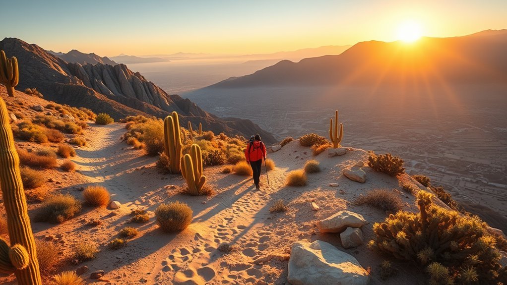
These five routes provide a useful introduction to Palm Springs hiking without treating the region’s most dangerous trail as a requirement. Distances are approximate and can change when you add connectors, overlooks, or alternate trailheads.
| Trail | Distance and Gain | Best For | Important Detail |
|---|---|---|---|
| Andreas Canyon Loop | 1.2 miles; about 200 feet | An easier palm-oasis walk | Paid admission and operating hours apply at Indian Canyons. |
| Palm Springs Museum Trail Loop | 1.7 miles; about 871 feet | A short but strenuous city-view climb | Steep, rocky, exposed, and much harder than the mileage suggests. |
| Ryan Mountain | 3 miles; about 1,050 feet | Wide Joshua Tree views | National park entrance fees apply; the trail has little shade. |
| North Lykken | 3 miles; about 886 feet | Coachella Valley views near downtown | A difficult, exposed climb with rocky switchbacks. |
| Art Smith First Oasis | About 4.5 miles; about 809 feet | A longer desert outing without committing to the full trail | Use the named First Oasis route because full-trail totals depend on the endpoint. |
Andreas Canyon Loop
Andreas Canyon is one of the most approachable ways to see a natural fan-palm oasis. The official 1.2-mile loop is rated easy and gains about 200 feet. Natural surfaces and uneven footing still mean that “easy” should not be interpreted as fully accessible.
The trail lies within the ancestral homeland of the Agua Caliente Band of Cahuilla Indians. Stay on designated trails and leave rock art, structures, plants, stones, and other cultural or natural objects undisturbed. Review the current Indian Canyons trail guide before visiting.
Palm Springs Museum Trail
The Museum Trail begins near downtown and climbs sharply toward picnic tables and junctions with the Lykken and Skyline trail systems. The documented out-and-back is only about 1.7 miles, but it gains approximately 871 feet.
The Palm Springs Museum Trail gains nearly 900 feet in less than two miles—a useful reminder that a short desert hike is not necessarily an easy hike.
Expect loose rock, steep grades, direct sun, and limited shade. Turn around early if the heat, pace, or footing feels harder than expected.
Ryan Mountain
Ryan Mountain is a difficult 3-mile round-trip hike with about 1,050 feet of gain. The summit provides broad views across Joshua Tree National Park, but the climb is exposed and can feel much hotter than the air temperature suggests.
Carry your own water, check park alerts, and avoid planning a sunset summit unless you are equipped and prepared to descend safely in darkness. See the official Ryan Mountain Trailhead guide.
North Lykken Trail
North Lykken combines rocky switchbacks with open views over Palm Springs and the Coachella Valley. The common 3-mile route gains about 886 feet, earning its difficult rating despite the moderate distance.
Parking is limited near neighborhood trailheads. Follow posted restrictions, avoid blocking driveways, and keep noise low during early starts.
Art Smith First Oasis
The Art Smith Trail has several possible endpoints, so a single mileage figure for the entire trail can be misleading. The First Oasis out-and-back provides a clearer objective at roughly 4.5 miles with about 809 feet of elevation change.
The route crosses rocky desert terrain with long exposed sections. Bighorn sheep may be present, but sightings are never guaranteed. Observe wildlife from a distance and never pursue an animal for a photograph.
Family-Friendly Trails and Easy Walks
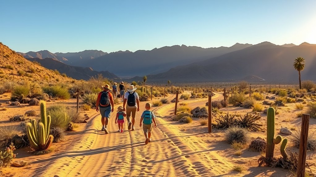
For children and less-experienced hikers, choose a route based on actual elevation gain, footing, shade, bathroom access, and the youngest person’s ability. A short trail can still be steep, exposed, or unsuitable for a stroller.
| Trail | Key Feature | Best For |
|---|---|---|
| Andreas Canyon Loop | 1.2-mile palm-oasis loop | Families ready for uneven natural surfaces |
| Living Desert Discovery Loop | Shorter nature-trail option near zoo facilities | A lower-commitment family outing |
| Palm Canyon and Victor Loop | Palm shade followed by an exposed ridge | Active families prepared for a moderate 2.7-mile hike |
| Palm Desert Cross Direct Route | 2.2 miles with about 622 feet of climbing | Older children comfortable with a moderate ascent |
| Ladder and Painted Canyons | Ladders, scrambling, slot sections, and rough road access | Experienced families only—not a general easy walk |
The Wilderness Loop at the Living Desert belongs in the challenging category, not the easy-walk category. It is approximately 5 miles with 736 feet of gain and includes steep inclines, rocky terrain, and scrambling. Check the current Living Desert hiking information for seasonal trail access and admission requirements.
Pro Tip: Give children a turnaround time rather than promising a summit or waterfall. Turning around while everyone still has water and energy usually produces a better family outing than pushing toward a fixed destination.
Challenging Day Hikes for Experienced Trekkers
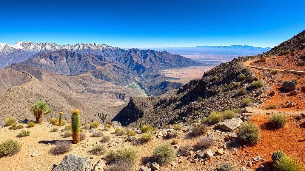
These routes require more than general fitness. Consider elevation gain, heat exposure, route-finding, weather changes, permit rules, water weight, and the consequences of turning around late.
Cactus to Clouds
A documented Cactus to Clouds through-route covers approximately 18.8 miles and gains about 10,317 feet before descending toward the Palm Springs Aerial Tramway’s Mountain Station. Other descriptions produce different totals because hikers use different starting points, include or omit the San Jacinto summit, or continue farther.
This route may combine triple-digit desert heat with snow, ice, strong wind, or freezing temperatures at elevation. The upper trail has been closed at different times for heat and winter hazards. Hikers must verify the current Mount San Jacinto trail status, weather, tram operation, last-car schedule, and route conditions before starting.
Warning: Cactus to Clouds is for highly experienced, specifically trained hikers. There is no dependable early bailout after the lower route becomes dangerously hot, and descending late can expose you to hotter conditions than you faced during the climb. Do not attempt it during a closure or extreme heat warning.
Tahquitz Peak via Devil’s Slide
The Devil’s Slide approach to Tahquitz Peak is a steep high-country outing commonly measured at roughly 8 to 9 miles round trip, depending on the exact endpoint. It gains more than 2,000 feet and can include snow, ice, wind, or rapidly changing mountain weather.
A wilderness permit is required, and the Forest Service limits Devil’s Slide permits on summer weekends. A recreation parking pass may also be required at Humber Park. Review the current Devil’s Slide Trail requirements before driving to Idyllwild.
Murray Hill
The Murray Hill route from the Thielman Trail system is approximately 6.8 miles with 1,583 feet of gain. Rocky grades and open exposure make it a difficult outing. Carry an offline map because several trail junctions can make the return route less obvious than expected.
Art Smith Trail
Longer Art Smith trips can become demanding point-to-point outings, but the distance depends on the chosen endpoint and whether a shuttle is used. For a simpler plan, use the clearly defined First Oasis out-and-back. Hikers attempting a longer connection should map the route in advance rather than relying on a single general mileage figure.
South Lykken Trail
The common South Lykken climb to the picnic tables is approximately 2.2 miles round trip with 643 feet of gain. It is shorter than the other routes in this section, but steep switchbacks, loose footing, and exposure make it strenuous. Longer through-hikes are possible when connecting other trails, but their mileage must be calculated for the exact itinerary.
Living Desert Wilderness Loop
The Wilderness Loop is approximately 5 miles with 736 feet of gain. Steep inclines, rocky canyons, and scrambling make it a challenging nature-preserve route rather than a flat family walk. Access follows the Living Desert’s admission, trail-hour, and seasonal operating rules.
Hidden Gems and Lesser-Known Routes
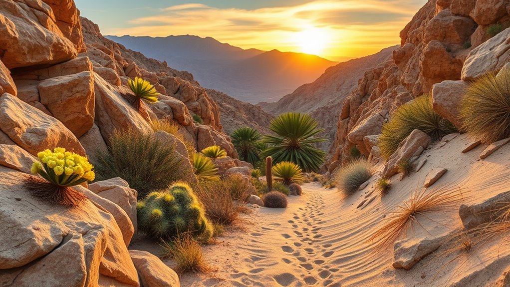
Quieter routes can offer more space, but they may also have fewer signs, less cell service, rougher access roads, and slower emergency response. Download a map before leaving and confirm that the trailhead is open.
Murray Canyon
Murray Canyon is a 4.7-mile moderate route with approximately 450 feet of gain. The Seven Sisters Waterfall is seasonal, so do not assume that water will be flowing. The trail lies within Indian Canyons, where admission, hours, and no-animal rules apply.
Thousand Palms Oasis Preserve
Thousand Palms Oasis Preserve protects a sensitive desert-oasis environment and may close during extreme heat or other unsafe conditions. Other preserve areas can have different access status, so check the official Thousand Palms Oasis Preserve page before driving there.
Pets are not allowed on preserve trails. Valid service animals are treated under separate rules and must remain under control.
North Lykken and Museum Connections
North Lykken connects with the Museum and Skyline trail systems, allowing experienced hikers to create longer routes. That flexibility also creates navigation risk. Record the junctions you use and do not assume that every visible path returns to the same trailhead.
Painted Canyon and Ladder Canyon
Painted Canyon offers colorful geology and slot-canyon terrain in the Mecca Hills area. The access road can be rough, and Ladder Canyon adds ladders, scrambling, narrow passages, and route-finding. Do not enter a slot canyon when rain or thunderstorms are possible anywhere in the drainage.
Road conditions and vehicle requirements can change after storms. Review the official Mecca Hills Wilderness information before departure.
Note: A seasonal waterfall, oasis, or wildflower display is not guaranteed. Rainfall, temperature, elevation, storm damage, and land-management decisions can change what you find.
Safety, Logistics, and Where to Stay
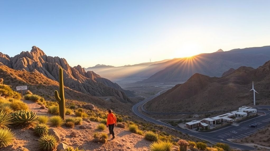
Water and Heat Planning
Do not use one water amount for every Palm Springs hike. Two liters may be reasonable for some short, cool-weather outings, while a long, hot, exposed route can require far more. Joshua Tree recommends carrying at least one gallon of water per person per day and more for hot days or strenuous hikes.
Carry electrolytes and food as appropriate, but do not treat them as substitutes for enough water. Turn around if you are consuming water faster than planned, develop a headache, become unusually tired, stop sweating in hot conditions, feel confused, or cannot maintain a steady pace.
Navigation and Emergency Preparation
- Download an offline map and carry a backup navigation method.
- Tell a reliable person your route, trailhead, vehicle description, and expected return time.
- Carry a charged phone and portable battery, but expect weak or absent service.
- Pack a light even when you expect to finish before dark.
- Carry first-aid supplies, layers, food, sun protection, and an emergency shelter appropriate to the route.
- Set a firm turnaround time before starting.
- Do not rely on another hiking party for water, navigation, or transportation.
Joshua Tree has very limited cell reception and no water inside much of the park. Check the official Joshua Tree safety guidance before hiking there.
Flash Floods and Storms
Desert washes and slot canyons can flood even when rain is not falling directly overhead. Avoid Ladder Canyon, Painted Canyon, narrow washes, and similar terrain when thunderstorms or significant rain are forecast in the surrounding drainage.
After a storm, expect washed-out roads, unstable ladders, debris, eroded trail edges, and missing signs. A route being visible in an app does not prove that it is currently safe or open.
Wildlife and Trail Etiquette
You may see bighorn sheep, mule deer, coyotes, roadrunners, lizards, or rattlesnakes. Give every animal space, do not feed wildlife, and never block an animal’s path to water. Step carefully around rocks and brush rather than placing hands where you cannot see.
Stay on established trails where required. Do not remove flowers, rocks, artifacts, palm material, or cultural objects. These rules are especially important within Indian Canyons and protected preserves.
Fees, Permits, and Pet Rules
| Area | Fee or Permit | Pet Rule |
|---|---|---|
| Indian Canyons | Paid admission; operating hours apply | No animals under the posted rules |
| Joshua Tree National Park | Entrance pass required; no entrance reservation normally required | Pets are prohibited on hiking trails and in the backcountry |
| Devil’s Slide and San Jacinto Wilderness | Wilderness permit required; seasonal quotas and parking-pass rules may apply | Check current Forest Service regulations |
| Thousand Palms Oasis Preserve | Check current hours and closure status | Pets are prohibited |
| Living Desert trails | Admission and trail hours apply | Follow current facility rules |
| Local Lykken and Museum routes | Generally no trail fee; obey posted parking restrictions | Check signs for the exact trail and protected habitat |
Where to Stay
Choose your base according to the trails you plan to hike rather than selecting one hotel for the entire region:
- Palm Springs: Best for the Museum Trail, Lykken routes, Indian Canyons, and lower Skyline access. Desert Riviera Hotel and Korakia Pensione are two Palm Springs options from the original itinerary, but compare current drive times, parking, and cancellation terms before booking.
- Idyllwild: More convenient for Devil’s Slide, Tahquitz Peak, and other high-country San Jacinto routes.
- Joshua Tree or Twentynine Palms: Better for an early start inside Joshua Tree National Park, including Ryan Mountain.
- Palm Desert: Convenient for the Living Desert, Art Smith Trail, and several Santa Rosa and San Jacinto Mountains National Monument trailheads.
Peak winter weekends, holidays, festivals, and spring-break periods can produce limited parking and higher lodging demand. Reserve early when your itinerary depends on a permit, tram ride, or specific trailhead.
Frequently Asked Questions
When is the best season to see desert wildflowers near Palm Springs?
Wildflowers often appear from mid-February through April, but the timing, location, and quality of the bloom depend on winter rain, temperature, wind, and elevation. Check official bloom reports shortly before your visit, stay on trails, and never pick flowers in protected areas.
Are dogs allowed on Palm Springs hiking trails?
Rules depend on the land manager. Pets are not permitted on Joshua Tree hiking trails, Indian Canyons posts a no-animals rule, and Thousand Palms Oasis Preserve prohibits pets. Other local routes may allow leashed dogs, but you must check the exact trail rather than assuming a leash is sufficient.
Which hikes have good sunrise or sunset views?
Museum Trail, North Lykken, South Lykken, and Ryan Mountain offer open views, but low-light hiking adds navigation and fall risk. Check operating hours, carry a headlamp, and choose a turnaround point that allows you to descend before dark unless you are equipped for night travel.
Are permits or parking passes required?
Requirements vary. Indian Canyons charges admission, Joshua Tree requires an entrance pass, Devil’s Slide requires a wilderness permit and may require a recreation parking pass, and Mount San Jacinto has permit rules for wilderness use. Many local city trails are free but have posted parking restrictions.
What wildlife might hikers encounter?
Possible wildlife includes bighorn sheep, mule deer, coyotes, roadrunners, lizards, and rattlesnakes. Sightings are never guaranteed. Keep your distance, do not feed animals, avoid blocking access to water, and keep hands and feet away from places you cannot see clearly.
Is it safe to hike in Palm Springs during summer?
Many exposed low-elevation routes are unsafe during summer heat, including early in the morning when an extreme heat warning is in effect. Consider high-elevation alternatives only after checking mountain weather, snow, storms, permits, and trail status. Cancel the hike when conditions exceed your training or equipment.
Are the easy trails wheelchair or stroller accessible?
An easy hiking rating does not confirm accessibility. Natural surfaces may include sand, rocks, steps, narrow sections, and slopes. Review the operator’s current accessibility information or call the site before visiting with a wheelchair, mobility device, or stroller.
How can I tell whether Cactus to Clouds is open?
Check Mount San Jacinto State Park alerts, the current Skyline route notice, local weather warnings, snow conditions, and Palm Springs Aerial Tramway operations on the day of the hike. Do not rely on an old trip report or assume that a previous closure has ended.
Sources
- Friends of the Desert Mountains Trail Directory — local route distances, elevation changes, difficulty ratings, and trail connections.
- Indian Canyons Official Trail Maps — Andreas, Murray Canyon, Victor, and other tribal-land trail details.
- National Park Service: Ryan Mountain Trailhead — official Ryan Mountain distance and elevation gain.
- The Living Desert Trails and Hiking — current nature-trail descriptions and Wilderness Loop difficulty.
- U.S. Forest Service: Devil’s Slide Trail — wilderness access and seasonal permit information.
- California State Parks: Mount San Jacinto Hiking Trails — Skyline route status and high-elevation trail information.
Conclusion
The best hikes near Palm Springs range from the easy Andreas Canyon Loop to steep local climbs, rugged Joshua Tree summits, and advanced Mount San Jacinto routes. Match the trail to the least-experienced person in your group, not the strongest hiker.
Check the official land manager’s page on the day of your hike, carry enough water and emergency gear, and turn around before heat, fatigue, fading light, or worsening weather removes your safe options. With realistic planning, you can enjoy Palm Springs’ palm oases, desert ridges, wildlife habitat, and mountain views without underestimating the environment.