

Last Updated on July 30, 2026 by Daniel Globe
Long Beach is better known for its waterfront than its mountains, but you can still find a strong mix of beach walks, wetland trails, bluff viewpoints, and steeper day hikes nearby. The right route depends on whether you want an accessible family stroll, serious birding, ocean photography, or a workout. Because coastal access and trail closures can change, check official conditions before leaving home.
Quick Answer
The best hikes near Long Beach range from the flat 3.1-mile Shoreline Pedestrian Bikepath and bird-rich Bolsa Chica wetlands to steeper Signal Hill and Palos Verdes routes. Match the trail to your ability, check current closure alerts, and verify tides before approaching rocky coves or sea cliffs.
Key Takeaways
- Best easy ocean walk: Long Beach’s 3.1-mile Shoreline Pedestrian Bikepath.
- Best birding: Bolsa Chica Ecological Reserve, which has a four-mile trail network and does not allow dogs or bicycles.
- Best shaded nature walk: El Dorado Nature Center, with two miles of dirt trails and a short paved trail.
- Best hill workout: Signal Hill’s trail system or an open route in the Palos Verdes Nature Preserve.
- Most important planning step: Check official trail closures, weather, parking rules, and tide predictions on the day of your hike.
At a Glance
| Time Required | About 30 minutes for a short bluff walk to four hours for a longer wetland or ridge outing |
| Difficulty | Easy paved paths, flat wetland trails, and moderate-to-strenuous hill routes |
| Tools Needed | Water, sun protection, supportive shoes, a charged phone, and an offline map for longer routes |
| Cost | Many routes are free; some parks and trailheads charge for parking |
Disclosure: As an Amazon Associate I earn from qualifying purchases. Some links on this page are affiliate links, at no extra cost to you.
Top Coastal and Bluff Hikes
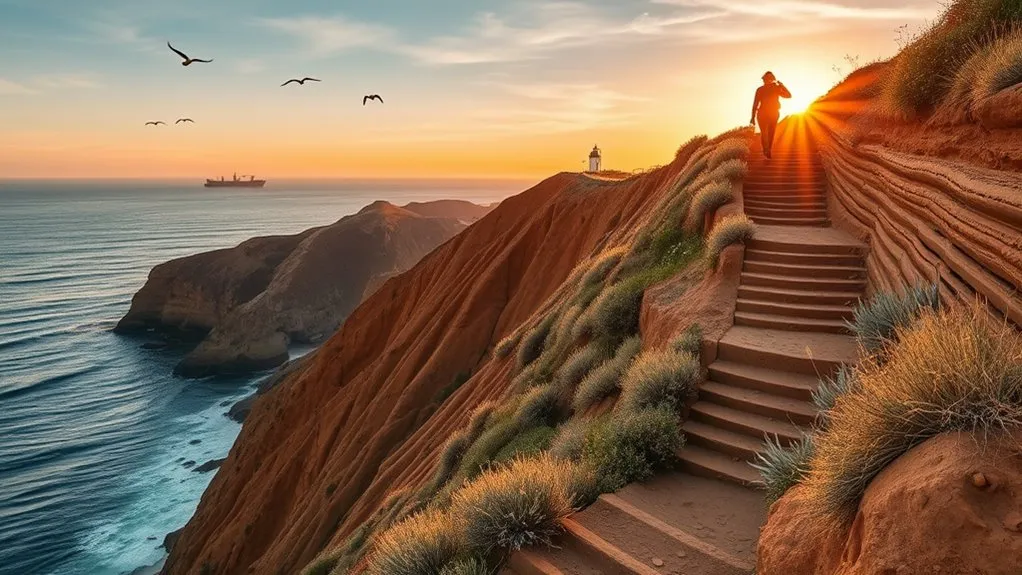
For a true Long Beach ocean walk, start with the Shoreline Pedestrian Bikepath. The City lists it as a 3.1-mile concrete path between Alamitos Avenue and 54th Place. It has separate lanes for pedestrians and bicycle traffic, making it a practical choice for walking, jogging, and family outings.
Bluff Park offers a shorter, flexible walk above the beach between roughly 20th and 36th Place. You can turn around at any point, combine it with beach access, or continue toward the shoreline path. It is better treated as an urban coastal stroll than a wilderness hike, but the ocean views are excellent.
For higher cliffs and wider views, Rancho Palos Verdes has strong options around Point Vicente and the Palos Verdes Nature Preserve. However, do not rely on an old route description alone. The city’s trail-conditions page currently lists major closures, including Sacred Cove Beach, Abalone Cove beach-access trails, Ishibashi Trail, and part of Burma Road Trail. Use only signed, open routes.
Warning: Clifftop viewpoints can have unstable edges, loose soil, and sudden wind. Stay behind barriers, remain on marked trails, and never step onto a closed route for a better photo.
Scenic Ridge and Cliff Trails
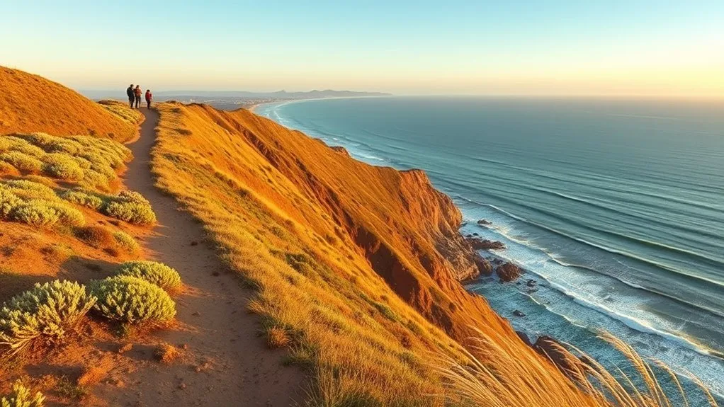
Signal Hill is the closest place to add real climbing to a Long Beach walk. Its hilltop trail system links neighborhood paths, stairs, overlooks, and parks. Routes are easy to shorten or extend, and clear days can bring broad views over Long Beach, the harbor, and the Los Angeles Basin.
The annual Long Beach Ranchos Walk shows how these urban ridges can connect into a longer challenge. The full route is about nine miles, with shorter options offered during the organized event. Outside event day, use the published route information only as a planning reference because crossings, services, and shuttle support may not be available.
Rancho Palos Verdes can provide a more natural ridge experience, but conditions are unusually changeable because of land movement and repairs. The previously promoted Burma Road & Ishibashi loop is not currently available as described: Ishibashi Trail and the lower portion of Burma Road Trail are listed as closed. Choose an open signed route and be ready to turn around.
Pro Tip: For a hill workout without a long drive, build a Signal Hill loop that repeats one or two climbs. You get flexible mileage and can stop before heat or fatigue becomes a problem.
Easy Bayfront and Wetland Walks

Flat waterfront and wetland routes are the best choices for a low-effort outdoor day. They offer open views, wildlife, and flexible turnaround points without the loose footing found on steep coastal trails.
Bayfront Boardwalk Strolls
Long Beach’s main shoreline route is 3.1 miles, not four miles. The paved pedestrian lane runs beside separate bicycle lanes, so walkers should stay in the marked pedestrian area and watch for crossings. The route is exposed, with little shade, so early morning and late afternoon are more comfortable on hot days.
You can extend the outing through Shoreline Village, the marina, or nearby waterfront parks, but those add-on segments are separate from the official 3.1-mile beach path. Choose an out-and-back distance that fits your group rather than assuming you must complete the full route.
Wetland Wildlife Viewing
Bolsa Chica Ecological Reserve is the standout birding destination near Long Beach. The California Department of Fish and Wildlife describes a four-mile network of gravel, packed-sand, and boardwalk trails across more than 1,300 acres. More than 200 bird species have been identified there. Dogs and bicycles are prohibited.
DeForest Park and Wetlands offers a quieter Long Beach option along the Los Angeles River. The restored wetland area includes recreational trails, native planting, interpretive signs, and habitat used by birds and other wildlife. El Dorado Nature Center provides a more shaded experience, with lakes, a stream, two miles of dirt trails, and a quarter-mile paved trail.
Bolsa Chica protects more than 1,300 acres of coastal habitat and has recorded more than 200 bird species, making it one of the strongest wildlife walks near Long Beach.
| Site | Route or Size | Best For | Important Rule |
|---|---|---|---|
| Bolsa Chica | Four-mile trail network | Birding and photography | No dogs or bicycles |
| DeForest Wetlands | About 35 acres of nature-trail space | Short local nature walks | Stay on public trails |
| El Dorado Nature Center | Two miles dirt plus quarter-mile paved | Shade, lakes, and families | No pets, bikes, or jogging |
Challenging Summits and Elevation Gains
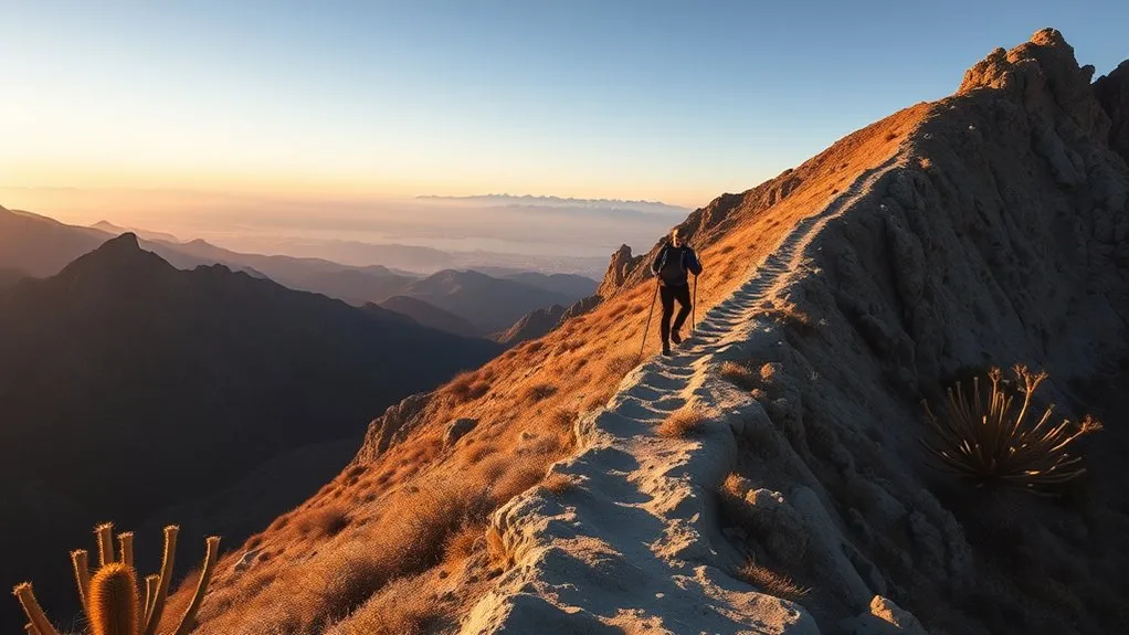
There are no major mountain summits inside Long Beach, so the best nearby challenge comes from repeated urban climbs or open ridge trails. Signal Hill is the simplest close-to-home workout. A longer Ranchos Walk-style route adds distance, while open sections of the Palos Verdes Nature Preserve add steeper grades and rougher footing.
Hellman Park in Whittier can also provide a steep local hike, but route lengths vary depending on the connecting trails you use. Start early, carry more water than you expect to need, and avoid exposed hills during extreme heat.
Mt. Baldy, San Jacinto, and Mt. Woodson’s Potato Chip Rock are often mentioned in Southern California hiking lists, but they are not practical “near Long Beach” outings or dependable within-an-hour choices. Treat them as separate full-day destinations that require their own weather, permit, road, and trail-condition research. Do not use their mileage or elevation figures from a general Long Beach guide as your primary trip plan.
Note: Drive times around Los Angeles and Orange County change sharply with traffic. “Within an hour” should be treated as a light-traffic estimate, not a guarantee.
Family-Friendly Loop Trails
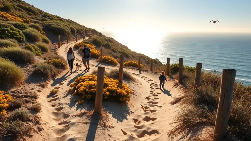
For families, choose routes with clear boundaries, restrooms nearby, and easy turnaround points. El Dorado Nature Center is a strong choice for children who enjoy bridges, lakes, and wildlife. The quarter-mile paved trail is the most suitable part for many strollers and mobility devices; the longer dirt trails can be uneven.
Bolsa Chica is flat and excellent for wildlife watching, but families must leave pets and bicycles at home. The trail surface includes gravel, packed sand, and boardwalks, so some areas are more accessible than others. The interpretive center and adjacent restrooms have wheelchair-accessible ramps.
Bluff Park works well for a short seaside walk because you can turn around at any point. Newport’s Back Bay routes offer longer paved walking options and broad wetland views, but route length, traffic exposure, and dog rules vary by segment. Check the City of Newport Beach walking maps and posted signs before starting.
Kenneth Hahn State Recreation Area has a mix of paths, picnic areas, and city views, but it is farther from Long Beach and may charge a vehicle-entry fee. It is best for families who want to combine a walk with a longer park visit.
Hidden Coves and Sea Cave Routes
Rocky coves and sea caves are the highest-risk destinations in this guide. Low tide can expose more shoreline, but it does not make a cave safe. Swell, wave run-up, slippery algae, falling rock, unstable cliffs, and a blocked return route can still create life-threatening conditions.
Sea Cave Access Tips
Use marked public trails and legal viewpoints rather than trying to force access to a cave mouth. Sacred Cove Beach, Abalone Cove Beach, and all beach-access trails in Abalone Cove Reserve are currently closed. The Terranea and Pelican Cove area may offer coastal views, but visitors should obey every gate, sign, and closure notice and avoid entering caves or crossing wave-washed channels.
Supportive shoes, a charged phone, a dry layer, and a small light are sensible backup items. They are not substitutes for daylight, a safe route, or official access. Turn around immediately when waves begin reaching your path or when the return route becomes unclear.
| Tip | Why It Matters |
|---|---|
| Check official closures | Land movement and repairs can close beaches and trails without much notice |
| Wear grippy shoes | Rock, sand, and algae can be slick |
| Stay on marked trails | It protects habitat and keeps you away from unstable ground |
| Carry light and a map | They help during an unexpected delay, but do not make cave entry safe |
Tide and Safety Timing
Check NOAA tide predictions for the nearest station before a coastal outing. Then check the marine forecast, surf conditions, wind, and local warnings. Give yourself a large return-time buffer and stay well above the wet-rock line when waves are active.
Do not swim across channels to reach a cove. Do not stand with your back to the ocean. If a route requires timing waves, scrambling on wet rock, or entering a cave to continue, turn around. A photo or tide-pool view is never worth being trapped by rising water.
Best Photo Vantages
The safest coastal photos usually come from established overlooks, not from the waterline. Bluff Park gives you open ocean and skyline views close to Long Beach. Point Vicente offers lighthouse and migration-season viewing from developed public areas. Pelican Cove and upper viewpoints around Abalone Cove can provide dramatic cliff scenes where access is open.
Sacred Cove, the Terranea sea-cave area, Bluff Cove, Inspiration Point, and other rocky locations can look appealing online, but access and hazards differ. Inspiration Point’s area east of the trail is currently listed as closed because of landslide activity. Devil’s Punchbowl is a separate inland destination, not a Long Beach sea-cave stop.
| Place | Photo Strength | Access Note |
|---|---|---|
| Sacred Cove | Cliffs and coastal habitat | Beach and beach-access trails are closed |
| Terranea and Pelican Cove | Lighthouse, cliffs, and sunset | Use open trails and avoid cave entry |
| Bluff Cove | Surf and rocky shoreline | Check local signs and wave conditions |
Urban Parks and Short Nature Strolls
When you need a quick walk without a long drive, use Long Beach’s urban network. The Shoreline Pedestrian Bikepath provides a flat beach route. Bluff Park adds grass, bluff views, and flexible mileage. El Dorado Nature Center offers shaded trails, while DeForest Wetlands provides birding and native habitat near the Los Angeles River.
A public-art walk through Downtown Long Beach can also work as an urban hiking day. Build a route around murals, waterfront parks, and pedestrian districts, but use marked crossings and remain alert around driveways, bicycles, and scooters.
For more distance, the Los Angeles River and San Gabriel River bikeways connect with Long Beach’s broader path system. These are multiuse corridors rather than quiet hiking trails, so keep right, stay predictable, and make room for faster users.
Classic Day-Trip Hikes Within an Hour
In light traffic, several worthwhile trail areas may be reachable from Long Beach in roughly an hour or less. Traffic can easily push them beyond that range, so check live travel time before leaving. The best choices are the ones that still leave enough daylight for your planned route.
- Bolsa Chica Ecological Reserve: a flat four-mile trail network with prime birding, boardwalks, and no dogs or bicycles.
- Upper Newport Bay and Back Bay: paved and natural-surface options around a large estuary, with route-specific dog and traffic rules.
- Point Vicente and open Palos Verdes trails: coastal viewpoints and ridge walking, subject to current closures and landslide-related changes.
- Signal Hill and the Ranchos Walk corridor: the closest option for elevation, urban viewpoints, and adjustable mileage.
- Burma Road & Ishibashi Loop: do not attempt the old full loop while Ishibashi and lower Burma Road remain closed; choose an officially open alternative.
Plan Your Hike: Parking, Dogs, Accessibility, and Safety
Parking, Hours, and Restrooms
Facilities differ sharply by trail. Bolsa Chica has north and south parking areas, with public restrooms near the interpretive center. El Dorado Nature Center has posted operating hours and paid parking that can vary by day. DeForest and urban Long Beach routes may rely on street or park parking. Palos Verdes trailheads can have reservations, fees, time limits, or closures.
Check the managing agency’s page on the morning of your hike. Bring a payment card or parking app, but do not assume every location has cell service or a working kiosk.
Dog Rules and Accessibility
Dog rules are site-specific. Bolsa Chica prohibits dogs. El Dorado Nature Center does not allow pets on the grounds, except qualifying service animals under its policy. Palos Verdes generally requires dogs to remain on a leash no longer than six feet, but closures and trail-use rules still apply. Long Beach dogs must remain leashed outside designated dog areas.
For accessibility, the Shoreline Pedestrian Bikepath is paved and flat. El Dorado has a quarter-mile paved trail. Bolsa Chica provides wheelchair-accessible ramps at the interpretive center and restrooms, while trail surfaces vary between boardwalk, gravel, and packed sand. Contact the site directly when you need precise slope, surface, or mobility information.
What to Pack
- Water: carry enough for the full outing; refill stations are not guaranteed.
- Sun protection: use a hat, sunscreen, and sunglasses on exposed coastal and wetland routes.
- Footwear: choose walking shoes for paved routes and grippy trail shoes for dirt, gravel, or hills.
- Navigation: save an offline map and the official closure page before leaving.
- Emergency basics: bring a charged phone, small first-aid kit, and an extra layer.
- Wildlife care: stay on trail, never feed animals, and pack out all trash.
Frequently Asked Questions
Are dogs allowed on these trails, and are there leash rules?
Rules vary. Bolsa Chica prohibits dogs, and El Dorado Nature Center does not allow pets. Palos Verdes generally requires a leash no longer than six feet. In Long Beach, dogs must remain leashed outside designated dog areas. Always check the specific site before leaving.
What are the best seasons for wildflowers nearby?
Late winter through spring is usually the best window, especially after a wet rainy season. Bloom timing changes each year with rainfall and temperature, so check recent park updates rather than planning around a fixed March-to-June promise.
Where can I find trailhead parking, and are there fees?
Parking ranges from free street spaces to paid park lots and reservation-controlled trailheads. El Dorado and some Los Angeles County parks charge vehicle fees. Palos Verdes access rules can change. Check the official facility page on the day of your visit.
Are restrooms or water-refill stations available?
Major visitor centers and developed parks may have restrooms, but many trails do not have reliable water. Bolsa Chica has restrooms near its interpretive center, and El Dorado has visitor facilities during open hours. Carry all the water you need.
What wildlife and safety precautions should hikers take?
Give birds and other wildlife plenty of space, stay on marked trails, and never feed animals. Watch for snakes and ticks on brushy routes. Near the coast, stay away from unstable cliff edges, breaking waves, and wet rock. Carry water, sun protection, and a charged phone.
Are Sacred Cove and the Burma Road–Ishibashi loop open?
Not as described in older trail guides. Sacred Cove Beach and Abalone Cove beach-access trails are closed, and Ishibashi Trail plus the lower portion of Burma Road Trail are listed as closed. Check Rancho Palos Verdes trail alerts immediately before visiting.
Which routes are best for strollers or mobility devices?
The paved Shoreline Pedestrian Bikepath is the most straightforward option. El Dorado Nature Center has a quarter-mile paved trail. Bolsa Chica has accessible ramps at the interpretive center and restrooms, but trail surfaces include gravel, packed sand, and boardwalks.
Conclusion
The best hikes near Long Beach are not all traditional mountain trails. You can walk a flat beach path, watch shorebirds in protected wetlands, climb Signal Hill, explore shaded nature-center paths, or visit open Palos Verdes viewpoints. Choose the route that matches your group, verify current conditions, and respect closures, wildlife rules, cliffs, and tides. Good planning turns a simple walk into a safer and more rewarding day outside.
Sources
- City of Long Beach: Shoreline Pedestrian Bikepath — official path length, layout, and connected bikeways.
- California Department of Fish and Wildlife: Bolsa Chica Ecological Reserve — trail network, wildlife, accessibility, hours, and dog/bicycle restrictions.
- City of Long Beach: El Dorado Nature Center — acreage, trail lengths, facilities, and parking information.
- City of Long Beach: DeForest Park and Wetlands — wetland acreage, recreation uses, and habitat restoration.
- City of Rancho Palos Verdes: Hiking Trail Conditions and Alerts — current closures affecting Sacred Cove, Abalone Cove, Burma Road, Ishibashi, and other trails.
- NOAA Tides and Currents — official tide predictions for coastal trip planning.
