
Last Updated on July 30, 2026 by Daniel Globe
Santa Barbara hiking ranges from easy coastal walks to steep sandstone scrambles in the Santa Ynez Mountains. The best route depends on your time, fitness, weather, and comfort with loose rock or creek crossings. This guide compares the area’s standout trails, corrects common route mix-ups, and explains parking, seasonal conditions, dog rules, and safety before you set out.
Quick Answer
The best Santa Barbara hikes include Inspiration Point for a classic view, Hot Springs Canyon for a short foothill climb, Rattlesnake Canyon for shade, Ellwood Mesa for a gentle coastal walk, and Montecito or Arlington Peak for experienced hikers. Check current closures, parking signs, weather, and trail conditions before every trip.
Key Takeaways
- Best first Santa Barbara mountain hike: Inspiration Point from Tunnel Road, about 3.5 to 4 miles round trip with roughly 800 to 950 feet of gain.
- Best easy coastal option: Ellwood Mesa, although its natural paths can be rough, muddy, or affected by falling-tree hazards.
- Best waterfall choices: Seven Falls and Tangerine Falls during a safe winter or spring window after rain—not during storms or when creeks are surging.
- Best advanced routes: Montecito Peak for sustained climbing and Arlington Peak for steep, exposed scrambling.
- Plan before driving: Parking is limited at several foothill trailheads, dog rules vary, and fire or storm restrictions can change quickly.
At a Glance
| Shortest Outing | Lizard’s Mouth, about 0.5 mile round trip, with optional rock scrambling and exposed edges. |
| Typical Difficulty | Easy coastal walking to strenuous summit routes with more than 2,000 feet of climbing. |
| Essential Gear | Water, sun protection, sturdy footwear, offline map, first-aid basics, layers, and a headlamp if daylight may run short. |
| Best Seasons | Cool months for exposed peaks; winter through spring for seasonal waterfalls; October through February for monarch viewing at Ellwood. |
| Typical Cost | Most front-country trailheads are free. Gaviota State Park lists a $10 vehicle day-use fee when entering the park; posted signs and current fees control. |
Disclosure: As an Amazon Associate I earn from qualifying purchases. Some links on this page are affiliate links, at no extra cost to you.
How to Choose a Santa Barbara Hike
Start with the hardest part of the route, not the mileage alone. A short hike with loose rock, route-finding, or exposed scrambling can be more demanding than a longer shaded trail. Match the outing to the least-experienced person in your group, and leave enough daylight for a slower return.
- For a quick view: Choose Lizard’s Mouth, but supervise children closely around unfenced drops.
- For a classic first mountain hike: Use the Tunnel Road route to Inspiration Point.
- For shade and a creek: Try Rattlesnake Canyon or the lower Cold Spring loop.
- For seasonal water: Consider Seven Falls or Tangerine Falls only when storms have passed and creek levels are safe.
- For a serious workout: Choose Montecito Peak; reserve Arlington Peak for hikers comfortable with steep Class 3 scrambling and exposure.
- For a gentle nature walk: Visit Ellwood Mesa or San Marcos Foothills Preserve, while remembering that both use natural, unpaved surfaces.
Warning: Do not enter narrow canyons, scramble beside waterfalls, or cross swollen creeks during heavy rain or when thunderstorms are possible. Flash flooding, falling rock, mud, and fast water can remain hazardous after a storm has moved away.
Santa Barbara Hot Springs (Hot Springs Canyon Trail)
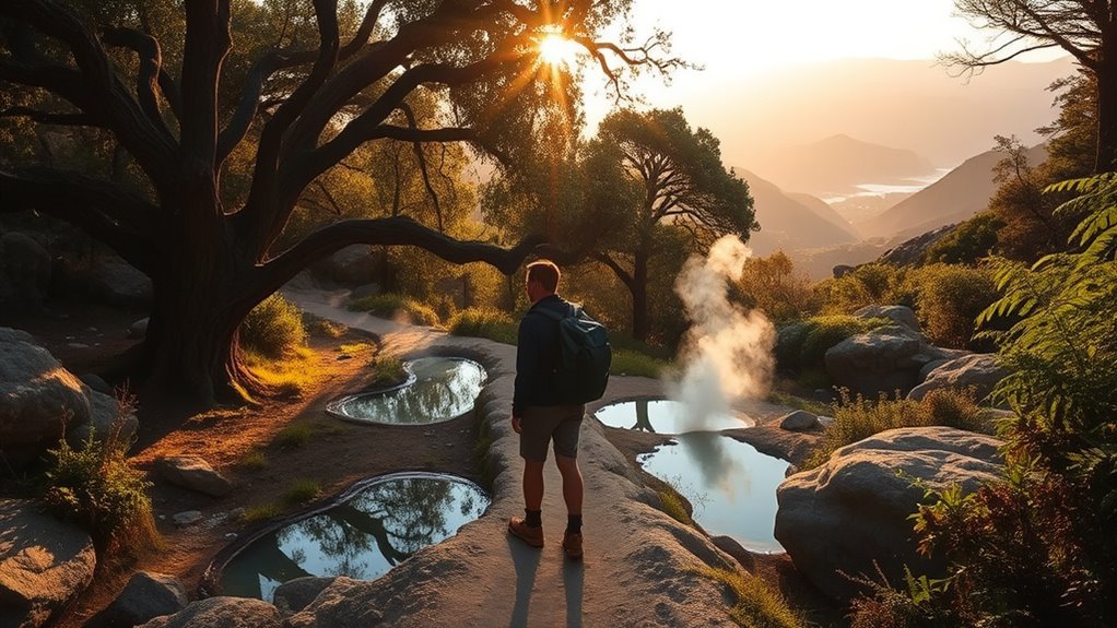
Hot Springs Canyon Trail is a popular moderate hike of about 2.6 miles round trip with roughly 793 feet of elevation gain. The route climbs through oak woodland, chaparral, and open foothill terrain before reaching the historic hot-springs area. The Land Trust for Santa Barbara County notes that the soaking pools are not on Land Trust property and are not maintained.
Treat the pools as an undeveloped natural feature, not a managed spa. Water temperature and cleanliness can change, and there are no lifeguards, routine sanitation, or guaranteed safe soaking conditions. Do not swallow the water or put your head under it. Skip the soak if you have open wounds, feel unwell, or cannot safely judge the temperature.
Parking near East Mountain Drive and Riven Rock Road is extremely limited. Newer parking restrictions include signed tow-away areas, overnight limits, and restrictions that may apply during red-flag fire weather. Read every sign, keep roads clear for emergency vehicles, and have a backup hike rather than parking illegally. The preserve is open from sunrise to sunset, and there are no restrooms at the trailhead.
- Distance: About 2.6 miles out and back
- Elevation gain: About 793 feet
- Difficulty: Moderate, with uneven foothill terrain
- Best strategy: Carpool, visit outside peak weekend hours, and obey current parking signs
- Important limit: The pools are unmaintained and their condition is not guaranteed
Note: Natural hot water can carry germs, and high temperatures can cause overheating. Keep any soak brief, avoid alcohol, stay with your group, and leave immediately if you feel dizzy, nauseated, or unusually tired.
Inspiration Point and Jesusita Trail Alternative
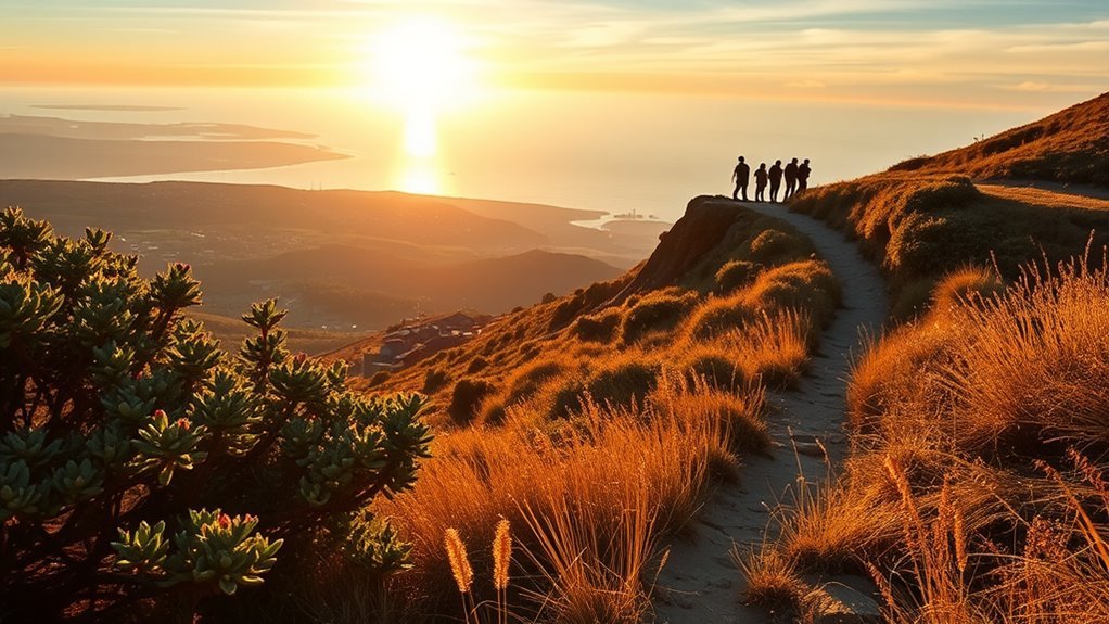
Inspiration Point can be reached by two different approaches. The shorter and more popular route starts from Tunnel Road and covers about 3.5 to 4 miles round trip with roughly 800 to 950 feet of gain. The longer Jesusita Trail approach starts near San Roque Road or Stevens Park and runs about 7 miles round trip with roughly 1,574 feet of gain. These routes meet near Inspiration Point, but they do not begin at the same trailhead.
Tunnel Road Route to Inspiration Point
The Tunnel Road approach is the better choice when you want a compact hike with a large view. Walk uphill on the paved road beyond the vehicle gate, join Tunnel Trail, and take the signed connection toward Inspiration Point. The route is exposed to sun and can feel harder than its mileage suggests, especially on a warm afternoon.
- About 3.5 to 4 miles round trip
- Roughly 800 to 950 feet of climbing
- Moderate, with a steady exposed ascent
- Panoramas of Santa Barbara, the coast, and the Channel Islands
Parking and Access
There is no large official trailhead lot at the upper end of Tunnel Road. Park only where signs and curb markings allow, keep all tires within legal boundaries, and expect to add road walking when nearby spaces are full. Tickets and towing are possible for improper parking. Sunrise can offer cooler temperatures and fewer cars; a sunset visit requires a real headlamp and enough time to descend safely after dark.
The City of Santa Barbara’s Jesusita Trail information states that dogs must remain leashed. Carry waste bags and keep dogs close around cyclists, wildlife, and narrow sections.
Jesusita Trail Benefits
The Jesusita Trail offers a longer, more varied approach through riparian woodland, chaparral, and open slopes. It begins near the Cater Water Treatment Plant at the end of San Roque Road, with an optional connection from Stevens Park. The route reaches Inspiration Point before continuing toward Tunnel Trail.
- Distance: About 7 miles out and back to Inspiration Point
- Elevation gain: About 1,574 feet
- Difficulty: Moderate to strenuous, depending on heat and pace
- Best for: Hikers who want more mileage, shade in lower sections, and a quieter approach
Pro Tip: Save an offline map with both the Tunnel Road and Jesusita approaches clearly marked. Many online listings use “Inspiration Point” for different starting points, which is why mileage estimates often conflict.
Lizard’s Mouth — Los Padres Views
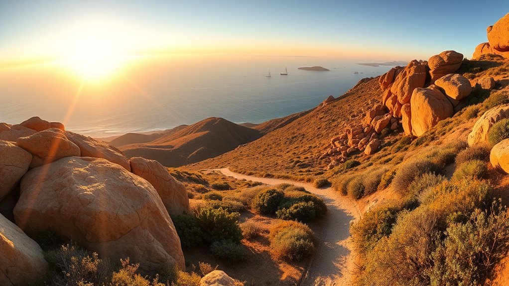
Lizard’s Mouth is a short roadside outing on West Camino Cielo in Los Padres National Forest. The commonly used route is about 0.5 mile round trip with very little net elevation change, although optional scrambling across sandstone can add effort and risk. Several overlapping paths cross the rock field, so the route feels more like open exploration than a single maintained trail.
The payoff is a broad view over Goleta, Santa Barbara, and the Pacific. The hazards are equally clear: loose sand on rock, broken glass in some areas, unfenced cliff edges, high fire danger, and limited roadside parking. Cell service can be unreliable in the mountains, so download a map before leaving town and check Los Padres National Forest conditions for closures and fire restrictions.
| Feature | What to Know |
|---|---|
| Distance | About 0.5 mile round trip |
| Terrain | Rock slabs, sand, informal paths, and optional scrambling |
| Views | Goleta, Santa Barbara, coastline, and Channel Islands on clear days |
| Parking | Small dirt pullouts along West Camino Cielo; do not block the road |
| Main Risks | Unfenced drops, loose footing, glass, wildfire, and changing mountain weather |
Warning: This is not a carefree toddler trail. Keep children and dogs within arm’s reach near the edge, avoid jumping between formations, and turn back when rock is wet or winds are strong.
Cold Spring Loop and Tangerine Falls Route
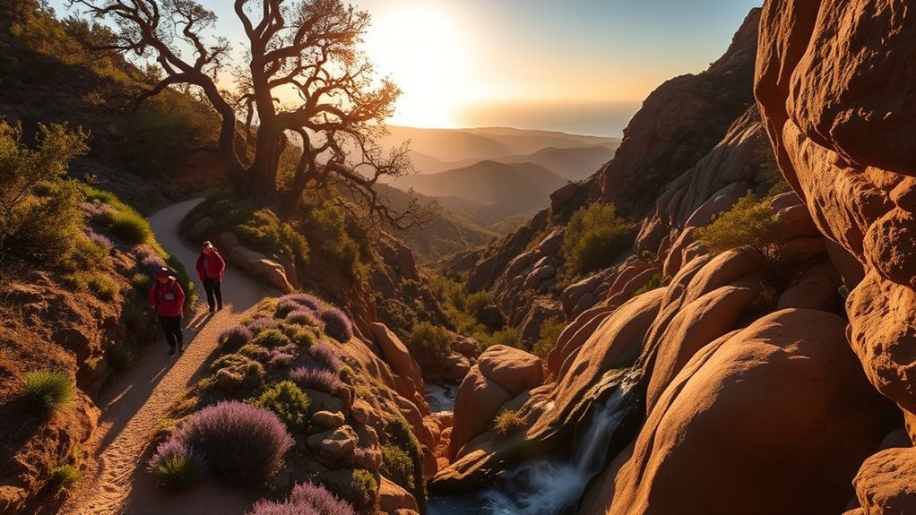
The lower Cold Spring Trail and the route to Tangerine Falls share access near East Mountain Drive, but they offer very different experiences. The Cold Spring loop is a maintained, moderate foothill hike. Tangerine Falls adds confusing junctions, boulder scrambling, slippery rock, and seasonal water hazards.
Cold Spring Loop Overview
The lower loop is about 2.1 miles with roughly 900 feet of elevation gain. It passes creekside vegetation, oak and sycamore shade, sandstone, and several junctions. The climb makes it more demanding than a flat family walk, but active older children may enjoy it when conditions are dry and the group is prepared.
The City of Santa Barbara’s Cold Spring Trail guidance notes poison oak, snakes, wildlife, bikes, horses, and leashed dogs. Stay alert at blind corners, yield appropriately, and keep pets under control.
- About 2.1 miles for the lower loop
- Roughly 900 feet of gain
- Moderate rather than easy
- Creek scenery, shade, and several route options
Tangerine Falls Access Tips
Tangerine Falls is commonly listed at about 2.2 miles round trip with roughly 872 feet of gain, but the numbers do not capture the hardest part. The final approach follows an informal, sometimes confusing route over boulders and steep, slick terrain. It can be difficult to follow and should not be treated as a simple extension of the family loop.
The falls are most impressive after winter rain, yet that is also when creek crossings, mud, rockfall, and flash-flood danger increase. Do not hike during a storm, immediately after intense rain, or when water is moving too fast to cross without risk. Turn around before the final scramble if anyone in the group is uncomfortable.
- Best conditions: A clear, cool day after trails and creek levels have had time to settle
- Bring: Grippy footwear, water, an offline map, and both hands free for balance
- Avoid: Climbing beside the falls when rock is wet or standing beneath loose slopes
- Navigation: Expect unsigned or confusing junctions beyond the maintained trail
Rattlesnake Canyon to Tin Can Meadow
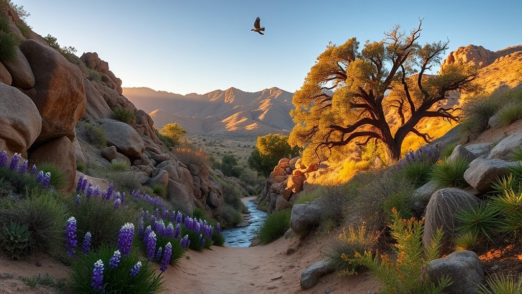
Rattlesnake Canyon Trail is popular for its shade, year-round creek, and gradual climb through oak and sycamore woodland. The full trail is commonly described as about 5 miles out and back, while Tin Can Meadow is reached at roughly 1.75 miles from the lower trailhead. A meadow turnaround therefore produces a hike of about 3.5 miles round trip.
This route is moderate, not truly easy. Expect uneven tread, creek crossings, poison oak, and a sustained uphill return depending on your turnaround. It can work for families with hiking experience, but it is not a stroller route. Rocks at crossings become slick after rain, and the canyon may be busier than its secluded feel suggests.
For a balanced Santa Barbara hike, turn around at Tin Can Meadow: you get shaded creek walking, a moderate workout, and an open foothill view without committing to the entire upper trail.
- To Tin Can Meadow: About 3.5 miles round trip
- Full out-and-back route: About 5 miles
- Difficulty: Moderate
- Conditions: Shaded lower canyon, creek crossings, and warmer exposed sections higher up
- Dogs: Follow posted rules and keep dogs leashed on city-managed trail sections
Montecito Peak — Summit Route
Montecito Peak is a serious foothill climb reached from the Cold Spring Trail system. A typical out-and-back route is about 7 miles with roughly 2,400 to 2,500 feet of elevation gain. The summit rises to about 3,214 feet and rewards the effort with views across Montecito, Santa Barbara, the Pacific, and the surrounding mountains.
Follow the East Fork of Cold Spring Trail and watch carefully for the smaller summit spur. The route is strenuous because of sustained climbing, sun exposure, uneven tread, and a long descent that can be hard on tired legs. Carry more water than you would for a short coastal hike, bring food, and save an offline map before leaving cell coverage.
- Distance: About 7 miles round trip
- Elevation gain: Roughly 2,400 to 2,500 feet
- Difficulty: Strenuous
- Best for: Fit hikers with route-planning experience
- Avoid: Hot afternoons, poor visibility, or starting too late to finish in daylight
Pro Tip: Set a turnaround time before starting. Summit fever becomes dangerous when a group reaches the top without enough daylight, water, or energy for the descent.
Seven Falls Trail and Arlington Peak Alternatives
Seven Falls and Arlington Peak use the same general Mission Canyon access corridor, but they are not interchangeable hikes. Seven Falls is a moderate creek route with seasonal cascades and light scrambling. Arlington Peak is a steep, exposed summit scramble for experienced hikers.
- Seven Falls: About 3.4 miles out and back, roughly 856 feet of gain, moderate, with rock hopping and seasonal water
- Best waterfall window: Winter through spring when water is present and storm hazards have passed
- Arlington Peak: Roughly 4 to 4.5 miles round trip with more than 2,000 feet of gain, steep Class 3 scrambling, exposure, and difficult route-finding
- Parking: Use only legal spaces near Tunnel Road; improper parking can lead to tickets or towing
The Santa Barbara County Trails Council lists Seven Falls as a 3.4-mile moderate hike. Do not jump or slide into pools without knowing their depth and hidden hazards. Water levels, debris, and pool depth change after every storm.
Arlington Peak should be described as an advanced scramble, not a slightly harder alternative. Parts of the social route are extremely steep, exposed, brushy, and easy to lose. A fall can have serious consequences. Start early, hike with an experienced partner, and turn around before terrain exceeds your ability.
Warning: Arlington Peak is not suitable for beginners, young children, hikers with a fear of heights, or anyone expecting a maintained footpath. It includes hands-on scrambling and exposed terrain where rescue can be difficult.
San Marcos Foothills Preserve and Family-Friendly Routes
San Marcos Foothills Preserve protects rolling grassland, native habitat, and broad mountain-to-ocean views between Santa Barbara and Goleta. The protected landscape now totals roughly 300 acres, including the original 200-acre preserve and the 101-acre West Mesa saved through a community campaign that raised $18.6 million in 2021.
The preserve supports low-impact recreation such as hiking, bird-watching, and on-leash dog walking. Stay on designated trails to protect sensitive habitat. Bikes are prohibited, and the natural dirt paths should not be advertised as reliably wheelchair or stroller accessible. Surface firmness, ruts, heat, and mud can change the experience quickly.
| Terrain | Sights | Access Notes |
|---|---|---|
| Rolling dirt paths | Grassland and mountain views | Natural surface; may be rough or muddy |
| Open meadows | Wildflowers after favorable rain | Little shade; bring sun protection |
| Habitat preserve | Birds and other wildlife | Stay on trail; dogs must be leashed |
This is a good place to introduce children to grassland ecology and birding without committing to a summit. Keep the outing short on hot days, carry water, and let wildlife remain wild by observing from a distance.
Ellwood Mesa Bluffs and Coastal Walks
Ellwood Mesa Open Space offers broad coastal views, bluff-top walking, beach access, and a seasonal monarch-butterfly grove. The terrain is gentler than Santa Barbara’s mountain trails, but it is still a natural area with rough sections, erosion, mud, exposed bluffs, and the possibility of falling branches or trees.
The City of Goleta lists the open space at 137 acres and keeps the Goleta Butterfly Grove open from sunrise to sunset without an admission fee. Free parking is available at the Ellwood Mesa Open Space and Sperling Preserve lot on Hollister Avenue. The main monarch viewing area is a little over half a mile from the lot.
Bluff Walks and Views
The mostly level network works well for an unhurried coastal walk, birding, and a picnic away from the mountain heat. Paths lead through grassland and eucalyptus toward bluff viewpoints and beach access. Stay back from eroding edges, keep children close, and avoid the area during rain or while trails remain muddy.
- Mostly level natural paths rather than paved trails
- Ocean viewpoints, grassland, and beach access
- Limited shade across much of the mesa
- Leashed dogs allowed; clean up and carry waste out
Monarch Butterfly Habitat
Monarchs generally arrive in Goleta in October and remain through February, with numbers often peaking around mid-December. By mid-March they have usually left for spring breeding habitat. Do not promise “thousands”: recent counts at Ellwood and across the western migration range have been low and vary sharply from year to year.
The City of Goleta’s butterfly-grove page provides current counts, active work notices, directions, and safety information. Stay on marked paths, remain outside roped areas, keep noise low, do not touch butterflies, and keep dogs leashed. Bicycles, horses, and motorized vehicles are not allowed inside the grove.
Ellwood’s monarch display is a seasonal wildlife event, not a guaranteed spectacle. Check the latest city count before driving specifically to see butterflies.
Gaviota Wind Caves and Nearby Coastal Hikes
The Gaviota Wind Caves Trail is a short but steep coastal hike about 30 miles west of Santa Barbara. Current route measurements commonly place it near 2.5 miles round trip with about 600 feet of elevation change. The path begins near Gaviota Beach Road, follows a paved section, and then climbs loose dirt and grassland toward wind-eroded sandstone formations.
This is better described as moderate than easy. The trail includes steep grades, loose footing, high wind exposure, and informal paths around the caves. Do not climb fragile roofs or stand near exposed edges in strong wind. Leave dogs at home unless current signs explicitly allow them; route guidance for the Wind Caves lists dogs as not allowed, even though California State Parks permits dogs in Gaviota’s campground and day-use area.
California State Parks lists Gaviota State Park day-use hours as 7 a.m. to sunset and a $10 vehicle day-use fee when entering the park. Roadside trail access may differ, so obey the signs where you actually park. The park is about 33 miles west of Santa Barbara and also offers longer hikes, picnic facilities, and seasonal camping.
- Distance: About 2.5 miles round trip
- Elevation change: About 600 feet
- Difficulty: Moderate, with steep and loose sections
- Best for: Sandstone formations and coastal views
- Bring: Water, sun protection, long pants in tall grass, and secure footwear
Seasonal Conditions and Trail Safety
Santa Barbara’s climate can make a trail look forgiving while hiding serious hazards. South-facing slopes heat quickly, narrow canyons can flood, sandstone becomes slick when wet, and vegetation dries into highly flammable fuel. Check weather, fire restrictions, closures, and parking information on the morning of your hike.
- Carry the essentials: Navigation, sun protection, insulation, light, first aid, fire-safe emergency supplies, food, water, and an emergency shelter. The National Park Service Ten Essentials is a practical checklist.
- Do not rely on your phone: Save an offline map and tell someone your route and return time.
- Start early in heat: Exposed routes such as Inspiration Point, Montecito Peak, Arlington Peak, San Marcos Foothills, and Gaviota can become punishing by midday.
- Respect water: Never cross fast, deep, or debris-filled water. Seasonal falls can change from dry to dangerous within hours.
- Watch for poison oak and ticks: Stay on trail, wear appropriate clothing, and check people and pets after the hike.
- Leave no trace: Pack out trash, avoid building or altering pools and rock structures, stay off restoration areas, and never start a fire outside an authorized setting.
Note: Trail distances vary by parking location, GPS device, route choice, and turnaround point. Use the numbers in this guide for planning, then confirm the exact route on a current official map before leaving.
Frequently Asked Questions
Are dogs allowed on Santa Barbara hiking trails?
Rules vary by land manager. City trails such as Jesusita and Cold Spring require leashes, San Marcos Foothills requires leashes, and Ellwood’s grove requires leashes. The Gaviota Wind Caves route is listed as not allowing dogs. Check the trailhead sign every time because restrictions can change.
What are the best nearby campsites or overnight options?
Gaviota State Park has 39 standard campsites and seasonal camping from April 1 through September 30. Refugio and El Capitán state beaches are other coastal options west of Santa Barbara. Reserve through the official state system when reservations are offered, and confirm seasonal closures before traveling.
Are any of these trails wheelchair or stroller accessible?
The mountain trails in this guide are not wheelchair accessible, and San Marcos Foothills and Ellwood Mesa use natural surfaces that can be rough or muddy. Gaviota State Park lists accessible facilities, but the Wind Caves trail is steep and unpaved. For paved outings, check current accessibility information for Shoreline Park and Santa Barbara waterfront paths. Butterfly Beach and Douglas Family Preserve access varies by entrance and should not be assumed fully accessible.
When is the best season for wildflower viewing?
March through May is usually the best window, but timing depends on winter rain, temperature, and elevation. Blooms may arrive earlier on warm coastal slopes and later in the mountains. Stay on trail and never pick flowers in preserves or restoration areas.
What permits or parking fees are required?
Most Santa Barbara front-country trailheads in this guide do not require a hiking permit, but legal parking is limited and signed restrictions apply. California State Parks lists a $10 vehicle day-use fee at Gaviota State Park. Camping, special uses, and some forest activities may require separate reservations or permits.
Which Santa Barbara hike is best for beginners?
Ellwood Mesa is the gentlest choice when paths are dry. Lizard’s Mouth is shorter but has exposed edges and optional scrambling. For a first mountain hike, Inspiration Point from Tunnel Road is a good goal for someone ready for a steady 800- to 950-foot climb.
Which hikes have waterfalls or reliable creek scenery?
Rattlesnake Canyon and Cold Spring usually provide the most reliable creekside scenery. Seven Falls and Tangerine Falls are seasonal and depend on recent rain. Never chase waterfall flow during a storm or cross a creek that is fast, deep, muddy, or carrying debris.
Can I hike these trails at sunset?
Sunset is reasonable on familiar, lower-risk routes when you carry a headlamp and know the return path. Avoid starting rugged routes such as Arlington Peak, Tangerine Falls, or Montecito Peak late in the day. Parking areas and preserves may also close at sunset.
Conclusion
Santa Barbara rewards careful trail choice. You can take an easy coastal walk at Ellwood Mesa, climb to Inspiration Point, follow a shaded creek through Rattlesnake Canyon, or test yourself on Montecito Peak. The most important part is matching the route to the day: check conditions, park legally, carry the right gear, and turn around when weather, water, heat, or terrain stops feeling safe. You will finish with better views—and a much better reason to plan the next hike.
Sources
- Land Trust for Santa Barbara County — Hot Springs Canyon — hours, parking limits, accessibility, and the unmaintained status of the pools.
- City of Santa Barbara — Jesusita Trail — route connection, scenery, and leash rules.
- Santa Barbara County Trails Council — Trail Directory — local route distances, elevation estimates, and trail descriptions.
- City of Goleta — Goleta Butterfly Grove — season, current counts, access, hazards, and grove rules.
- California State Parks — Gaviota State Park — current hours, fees, facilities, dog information, and park access.
- National Park Service — Ten Essentials — minimum preparation and emergency gear for hiking.

