
Last Updated on July 28, 2026 by Daniel Globe
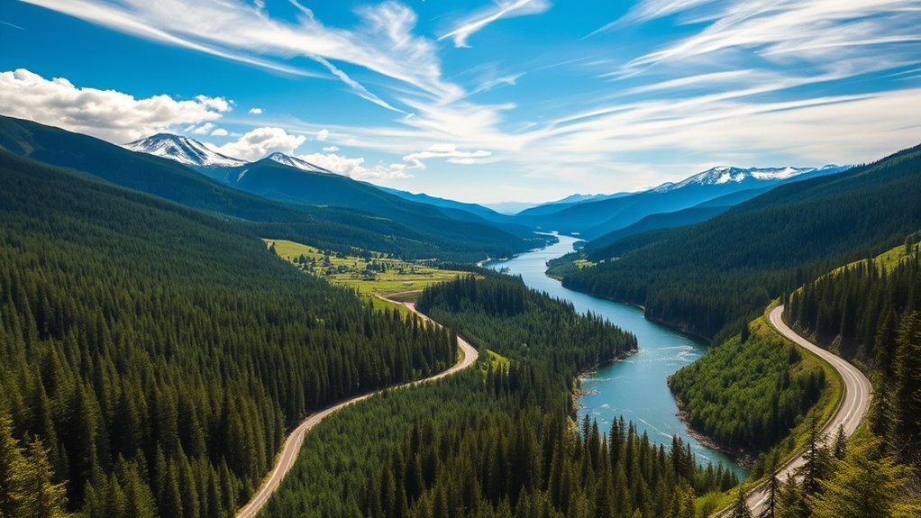
Traveling the scenic route from Bonners Ferry toward Sandpoint, you’ll pass striking mountain and river views at sites like the Moyie River Canyon Bridge, then roll into the lakeside town of Sandpoint. Enjoy a stop at City Beach, explore waterfalls tucked into the Kaniksu National Forest, and take in unique cultural attractions, including the historic SS Moyie sternwheeler across the border in Kaslo, BC. There’s a lot to see along the way, and a few essentials worth knowing before you go.
Quick Answer
The direct drive from Bonners Ferry to Sandpoint, Idaho covers 32 miles south on US-95 and takes about 40 minutes. Adding the recommended 9-mile detour east on US-2 to the Moyie River Canyon Bridge extends the trip to ~50 miles. Budget a half-day to a full day to explore Myrtle Falls, City Beach, and Kaniksu National Forest.
Key Takeaways
- Direct travel follows US-95 South (~32 miles), while visiting the Moyie River Canyon Bridge requires a short ~9-mile detour east on US-2.
- The Moyie River Canyon Bridge stands 464 feet high and is one of the highest bridges in Idaho.
- Sandpoint’s City Beach and downtown cafés offer a natural rest stop at the northern tip of Lake Pend Oreille.
- US-2 and US-95 are RV-friendly highways, though mountain stretches demand vehicle checks and weather monitoring.
- Crossing into Canada via the Eastport border checkpoint (30 miles north of Bonners Ferry) requires a passport or enhanced ID.
Disclosure: As an Amazon Associate I earn from qualifying purchases. Some links on this page are affiliate links, at no extra cost to you.
Best Scenic Stops on the Route
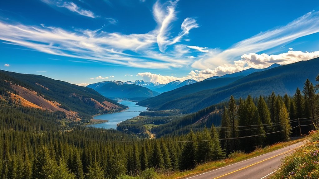
As you leave Bonners Ferry, you’ll want to make the most of the views and stops along the way. First, take a 9-mile detour east on US-2 to cross the Moyie River Canyon Bridge, which rises 464 feet above the river — one of the highest bridges in Idaho, second only to the Perrine Bridge near Twin Falls. There’s a designated parking area on the east side where you can walk out for an expansive view of the canyon.
Next, head south along US-95 toward Sandpoint, a lively town situated at the northern end of Lake Pend Oreille. Stop at a local downtown café, then unwind at City Beach, an ideal spot to stretch your legs, picnic, or wade into the water. If you have extra time near Bonners Ferry, take a short detour to Myrtle Falls, a 100-foot waterfall reached via an easy 0.5-mile trail adjacent to the Kootenai National Wildlife Refuge. Bring binoculars, as moose, elk, and bald eagles are frequently spotted in the refuge meadows.
Pro Tip: If you plan to cross into Canada from Bonners Ferry (about 30 miles north to the Eastport border crossing), bring a passport or enhanced ID for everyone in the vehicle, and check current border wait times before heading out.
Route Waypoints & Distance Breakdown
| Segment / Stop | Distance | Drive Time | Highlights |
|---|---|---|---|
| Bonners Ferry to Moyie Canyon Bridge | 9 miles (US-2 East) | 12 mins | 464-ft high gorge bridge, pedestrian walkway |
| Bonners Ferry to Myrtle Falls | 7 miles (West) | 12 mins | 0.5-mile trail, Kootenai Wildlife Refuge |
| Bonners Ferry to Naples | 12 miles (US-95 South) | 15 mins | Historic Naples Inn, Northwoods Tavern |
| Naples to Sandpoint (City Beach) | 20 miles (US-95 South) | 25 mins | Lake Pend Oreille shore, shops, dining |
Essential Travel Tips for RV Drivers
Navigating this scenic corridor in a motorhome or travel trailer is straightforward, provided you plan for highway grades, vehicle clearances, and campground availability.
Route Selection Considerations
Both US-95 and US-2 are paved, multi-lane or wide two-lane highways well-suited for RV travel. They feature scenic viewpoints along the Kootenai and Moyie Rivers with adequate pullout space. Always check mountain weather forecasts and road conditions on Idaho 511 before navigating passes around the Kaniksu National Forest.
| Consideration | Recommendation | Notes |
|---|---|---|
| Highway Route | US-95 & US-2 | Paved, RV-friendly with wide shoulders |
| Rest Stops | Designated pullouts & parks | Plan breaks at Moyie Bridge or City Beach |
| Weather Monitoring | Check ITD 511 forecasts | Crucial during late autumn and winter driving |
Campground Accessibility Tips
When selecting a campground along US-95 or US-2, opt for locations offering flat parking pads and wide turnarounds for easier maneuverability. Verify hookup availability (water, 30/50-amp power, sewer) and check site length ratings to ensure your total rig length is accommodated.
Outdoor Adventures to Enjoy During Your Trip
Outdoor recreation opportunities abound along this route. In the Kaniksu National Forest, hiking trails wind through dense pine stands to panoramic overlooks — keep an eye out for white-tailed deer, elk, and bald eagles.
At Lake Pend Oreille, visitors can spend the afternoon boating, kayaking, fishing, or relaxing on the sandy shores of City Beach. Near Bonners Ferry, both Myrtle Falls and Snow Creek Falls are accessible via short, well-marked hiking trails.
Warning: Access roads leading to certain waterfall trailheads (such as Snow Creek Falls) can be narrow, gravel, or steep. They are not suitable for large RVs or heavy trailers — scout access roads in a towed passenger vehicle first.
Unique Lodging Options Along the Scenic Route
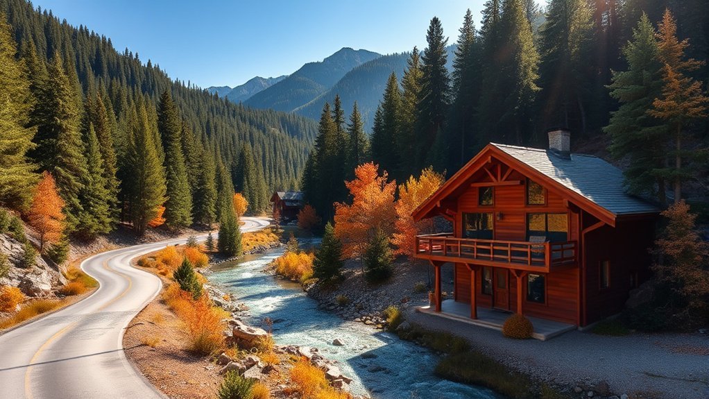
Travelers will find welcoming accommodations with distinctive regional character along the way. The Kootenai River Inn in Bonners Ferry provides upscale rooms, river views, dining, and gaming under Kootenai Tribe ownership. For historical charm, the Naples Inn offers a quiet, relaxed atmosphere. Outdoor enthusiasts and RV travelers can choose from numerous public and private campgrounds around Sandpoint and Lake Pend Oreille.
Where to Grab a Bite on Your Journey
Satisfy your appetite with these popular dining spots along the route:
- Kootenai River Inn: Features a diverse menu highlighting local ingredients alongside scenic Kootenai River views.
- Spud Café: A local Bonners Ferry favorite serving hearty, classic comfort food.
- Northwoods Tavern: Located in Naples, ideal for classic pub fare and friendly conversation.
- Local Farmers’ Markets: Pick up fresh regional produce, baked goods, and snacks in Sandpoint or Bonners Ferry during the summer and early autumn season.
Ensuring Safe Travel: Road Conditions and Tips
Prioritizing safety ensures an enjoyable road trip through northern Idaho’s terrain.
Current Road Conditions
Highway conditions along US-95 and US-2 can shift rapidly during shoulder seasons and winter weather:
- Check the Idaho 511 Traveler Information System for real-time traffic updates and mountain pass reports.
- Monitor regional weather forecasts, especially when traveling through forest corridors.
- Carry seasonal emergency gear, including tire traction chains, ice scrapers, and extra blankets in winter.
Vehicle Maintenance Checks
A quick pre-trip inspection ensures vehicle dependability on rural highways:
| Maintenance Check | Description |
|---|---|
| Tire Safety | Check cold tire pressures, tread depth, and spare tire inflation |
| Brake Inspection | Confirm pad thickness, brake fluid, and trailer brake controllers |
| Towing Setup | Inspect hitch receiver security, safety chains, and signal wiring |
| Fluid Levels | Verify engine oil, coolant, brake fluid, and windshield washer fluid |
| Battery Condition | Inspect terminals for corrosion and verify adequate starting voltage |
Emergency Preparedness Essentials
Always pack emergency supplies including a first aid kit, extra bottled water, non-perishable snacks, a flashlight, jumper cables, and portable charging gear or power stations.
Cultural and Historical Attractions to Discover Along the Way
Rich history and tribal heritage are woven throughout boundary country:
| Attraction | Description | Location |
|---|---|---|
| Boundary County Museum | Exhibits covering Kootenai tribal heritage, pioneer settlement, and timber history | Bonners Ferry, ID |
| SS Moyie National Historic Site | SS Moyie is the world’s oldest intact passenger sternwheeler, preserved on Kootenay Lake | Kaslo, British Columbia, Canada |
Frequently Asked Questions
What Is the Most Beautiful Road in Idaho?
US-2 and US-95 through the Idaho Panhandle are widely celebrated as some of the state’s most scenic highways, featuring mountain vistas, river gorges, and lake views.
How Long Does It Take to Drive the Selkirk Loop?
The full 280-mile International Selkirk Loop takes 10 to 14 hours of driving time. Most travelers spread the trip over 2 to 3 days to enjoy scenic stops and historic towns.
What Is the Best Time of Year to Drive from Bonners Ferry to Sandpoint?
Late spring through early autumn (May to October) offers optimal driving conditions, warm lake weather at Sandpoint, and full access to local waterfall trails and state parks.
How Close Is Bonners Ferry to Canada?
Bonners Ferry is situated approximately 30 miles south of the Eastport border crossing into British Columbia, making international day trips convenient with valid passport documents.
Conclusion
Every bend in this drive from Bonners Ferry toward Sandpoint holds something worth stopping for — a canyon view, a quiet beach, or a great meal. It’s a route that rewards thoughtful planning: check road conditions ahead of time, pack essential supplies, and leave room for a detour or two. Pack your bags, hit the road, and enjoy the trip.
Sources
- Moyie River Canyon Bridge — Wikipedia — bridge height, specs, and engineering history
- Visit Idaho — Northern Idaho Waterfalls — Myrtle Falls and Snow Creek Falls access details
- USDA Forest Service — Idaho Panhandle National Forests — Kaniksu National Forest recreation details
- Idaho 511 Traveler Information — real-time road conditions and traffic alerts
