

Last Updated on September 11, 2026 by Daniel Globe
The best direction for driving the Olympic Peninsula loop from Port Angeles depends mainly on which places you want to reach first. A clockwise drive heads west toward Lake Crescent, Forks, the rain forests, and the Pacific coast. A counterclockwise drive starts east toward Sequim, Hood Canal, and the peninsula’s quieter eastern side. The scenery does not become better or worse in either direction, but the order of your stops can make the trip much easier.
Quick Answer
For most first-time visitors starting in Port Angeles, drive clockwise and head west first if Lake Crescent, Hoh Rain Forest, and the Pacific coast are your priorities. Drive counterclockwise if you want Hood Canal, Staircase, or the eastern peninsula first. Direction does not reliably change traffic, wildlife, or weather.
Key Takeaways
- Clockwise from Port Angeles means driving west first toward Lake Crescent, Forks, Hoh, Kalaloch, and Quinault.
- Counterclockwise means driving east first through Sequim and along Hood Canal before reaching the south and west sides.
- The loop covers more than 300 miles, so two or three days are far better than one rushed day.
- Hurricane Ridge is an out-and-back side trip from Port Angeles, not a clockwise or counterclockwise loop segment.
- June is already a busy month. Arrive early or later in the day at Hurricane Ridge and Hoh Rain Forest.
At a Glance
| Time Required | One long day with minimal stops; two to three days recommended |
| Difficulty | Moderate because of distance, two-lane roads, weather, and seasonal congestion |
| Tools Needed | Offline map, current road alerts, tide information, water, food, and weather-ready clothing |
| Cost | Fuel, lodging, optional ferry fares, and a $30 seven-day private-vehicle park pass when entering fee areas |
Disclosure: As an Amazon Associate I earn from qualifying purchases. Some links on this page are affiliate links, at no extra cost to you.
Which Way Should You Drive the Olympic Peninsula Loop?
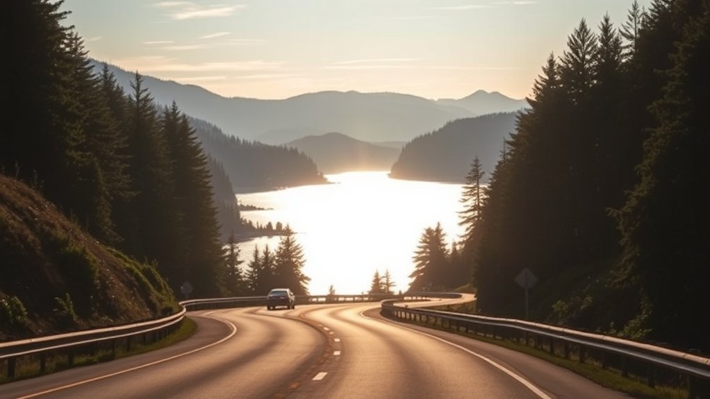
The Olympic Peninsula loop follows more than 300 miles of highways and connecting roads around the outside of Olympic National Park. Most of the route uses U.S. 101. Roads enter individual park areas like spokes, but they do not cross the park’s mountain interior. You should therefore choose a direction according to the order in which you want to visit the peninsula’s regions.
Choose Clockwise to Reach the West-Side Highlights First
From Port Angeles, a clockwise route begins by driving west on U.S. 101. You reach Lake Crescent first, followed by the Sol Duc turnoff, Forks, Hoh Rain Forest, Ruby Beach, Kalaloch, and the Quinault area. The route then continues toward Aberdeen, Olympia, Hood Canal, Sequim, and Port Angeles.
This direction works well when the west-side rain forests and Pacific beaches are the main reason for your trip. It also lets you visit Lake Crescent early, before a long day of driving has made you tired.
Choose Counterclockwise for Hood Canal and the East Side First
A counterclockwise route leaves Port Angeles heading east through Sequim. It then follows the eastern peninsula and Hood Canal before turning toward Olympia, Aberdeen, Quinault, Kalaloch, Hoh, Forks, Lake Crescent, and Port Angeles.
This direction makes sense if you are arriving from the Bainbridge Island or Kingston ferry and want to continue down the east side without first driving into Port Angeles. It also places the Pacific coast later in the trip, which may suit travelers who have coastal lodging booked near Kalaloch, Forks, or La Push.
| Your Priority | Best Starting Direction | Reason |
|---|---|---|
| Lake Crescent, Hoh, and beaches | Clockwise | You reach the best-known west-side stops first. |
| Hood Canal and Staircase | Counterclockwise | The eastern peninsula comes first. |
| Arriving by Bainbridge or Kingston ferry | Counterclockwise or direct to Port Angeles | You are already entering from the peninsula’s east side. |
| First visit based in Port Angeles | Usually clockwise | Lake Crescent and the west-side highlights follow naturally. |
Pro Tip: Do not choose a direction based on claims that one side guarantees more wildlife, flowers, or lighter traffic. Choose according to your lodging, daylight, reserved activities, and the stops you most want to see.
How to Reach Port Angeles From Seattle
Allow about three hours to travel between Seattle and Port Angeles in normal conditions, then add time for ferry lines, city traffic, construction, or Hood Canal Bridge openings. The fastest option on a specific day depends on your starting point and current ferry waits.
Seattle to Bainbridge Island Ferry
Drive to the Seattle ferry terminal and take the Washington State Ferries route to Bainbridge Island. From Bainbridge, follow SR 305, SR 3, SR 104 across the Hood Canal Bridge, and U.S. 101 to Port Angeles.
Washington State Ferries does not offer vehicle reservations for the Seattle–Bainbridge route. Vehicles are loaded first-come, first-served. WSDOT generally recommends reaching the tollbooth at least 20 minutes before departure, but peak periods may require a much earlier arrival.
Edmonds to Kingston Ferry
If you are starting north of downtown Seattle, the Edmonds–Kingston ferry may be more convenient. From Kingston, follow SR 104 across the Hood Canal Bridge, then join U.S. 101 toward Sequim and Port Angeles.
This route also operates without standard vehicle reservations. Check the sailing schedule, terminal traffic cameras, and service alerts before leaving.
All-Road Options
You can avoid ferries by driving south and using highways through Tacoma, Bremerton, and the Hood Canal Bridge. Another longer option reaches U.S. 101 near Olympia and follows it north. These routes remove ferry uncertainty but may involve heavy traffic around Seattle and Tacoma.
The National Park Service estimates approximately three hours and 130 miles between Sea-Tac Airport and Port Angeles by the Tacoma route. Treat this as a planning estimate rather than a guaranteed arrival time.
Traveling Without a Car
Walk-on passengers can take the Seattle–Bainbridge ferry and connect with Clallam Transit’s Route 123 Strait Shot to Port Angeles. The bus serves the Bainbridge ferry terminal and the Gateway Transit Center in downtown Port Angeles. Check the current Strait Shot timetable because the bus does not wait for delayed ferries.
Note: The M.V. Coho is not a Seattle ferry. It operates between Port Angeles and Victoria, British Columbia. Travelers using it must meet international identification and border requirements.
Choose the Best Loop Direction for Your Schedule
Direction matters less than stop order. A full loop with only brief breaks can take an entire day, but rushing around the peninsula leaves little time for trails, beaches, meals, or unexpected delays. Two or three days give you a much better experience.
- One day: Choose only two major ecosystems, such as Hurricane Ridge and Lake Crescent or Lake Crescent and the coast. Do not attempt every major park area.
- Two days: Spend one night near Port Angeles and another near Forks, Kalaloch, or Quinault.
- Three days: Add Hoh Rain Forest, a coastal walk, Hood Canal, or a longer waterfall hike without spending the whole trip in the car.
The National Park Service recommends splitting overnight stays between the north and west sides when possible because park destinations are widely separated. Use your accommodation bookings to determine which direction produces the least backtracking.
What Traffic Looks Like in Early June
Early June can be less crowded than major July and August holiday periods, but it is not a quiet off-season. June, July, and August are the busiest months at Hoh Rain Forest, while Hurricane Ridge parking can also fill during summer.
At Hurricane Ridge, the busiest period is commonly from 10 a.m. to 2 p.m. At Hoh Rain Forest, peak summer traffic is generally from 10 a.m. to 5 p.m. When parking fills, entrance traffic is metered and waits can reach one or two hours.
- Visit Hurricane Ridge before 10 a.m. or after 2 p.m.
- Reach Hoh Rain Forest before 10 a.m. or after 5 p.m.
- Avoid relying on a tight ferry, lodging, or dinner connection after a popular park stop.
- Allow extra time for construction zones and alternating one-way traffic on U.S. 101.
Current 2026 Alert: Conditions verified on July 24, 2026 included a closure of Mora Road beyond Mora Campground that blocked vehicle access to Rialto Beach, a washout on South Shore Road at Lake Quinault, and construction or one-lane traffic on parts of U.S. 101. Check the NPS road-status page and the WSDOT travel map immediately before driving.
When to Drive for the Best Views
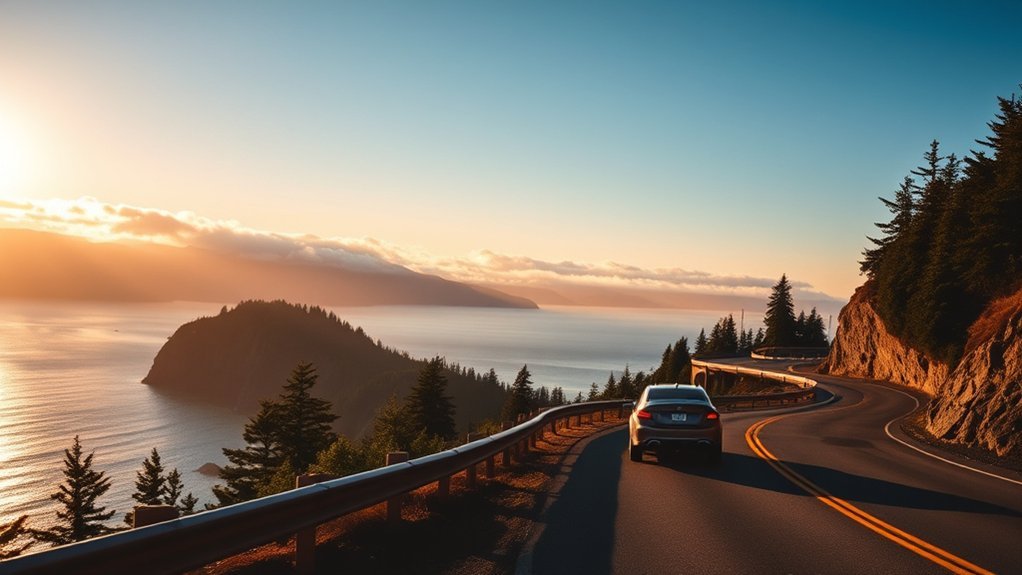
Morning and late afternoon usually provide softer light, less glare, and fewer visitors than the middle of the day. The best timing still depends on fog, clouds, rain, tides, and the direction of the view.
- Early morning: Best for quieter roads, calm lake reflections, and reaching popular parking areas before they fill.
- Late afternoon: Useful for Hurricane Ridge after peak entry hours and for warmer light on open landscapes.
- Near sunset: Good for Pacific coast viewpoints, provided you leave enough time to return safely before dark.
- Clear daylight: Best for narrow roads, mountain viewpoints, wildlife awareness, and unfamiliar coastal access roads.
June weather remains unpredictable. Rain can fall anywhere on the peninsula, and snow or cold conditions can continue at higher elevations. Check the Olympic National Park weather guidance before leaving.
The best direction is the one that puts your highest-priority stop at the best time of day, not the one that promises a universal traffic or scenery advantage.
Where to Stop Around Olympic National Park
The strongest route combines mountain, lake, forest, and coastal environments without trying to visit every spur road. Pick a manageable number of stops and leave room for delays.
Scenic Stops
- Hurricane Ridge: A mountain side trip from Port Angeles with broad views in clear weather. The drive is about 17 miles each way from Port Angeles.
- Lake Crescent: A convenient U.S. 101 stop for lake views, Lake Crescent Lodge, and the Marymere Falls Trail.
- Sol Duc Valley: A forested side road leading toward Sol Duc Falls and the seasonal hot-springs resort. Check opening dates before visiting.
- Hoh Rain Forest: A major west-side detour with short nature trails and access to the Hoh River Trail. Expect summer congestion.
- Kalaloch and Ruby Beach: Pacific coastal scenery, sea stacks, and beach access. Verify road and parking conditions first.
- Quinault: Rain-forest walks, lake scenery, and access to the southern part of the park and national forest.
- Staircase: An optional Hood Canal side trip reached by a partly gravel access road. Large vehicles should check current restrictions.
Town Breaks
Port Angeles is the best northern base for Hurricane Ridge, Lake Crescent, ferry connections, fuel, lodging, and the main Olympic National Park Visitor Center.
Forks is the most useful west-side service stop for fuel, groceries, food, and lodging before visiting Hoh, La Push-area beaches, or Kalaloch.
Amanda Park and the Quinault area provide services near the southern rain forest. Aberdeen and Hoquiam offer broader fuel and food choices on the southern part of the full loop. Sequim is a practical eastern stop with lodging, food, and access to the Dungeness area.
The Elwha area remains affected by a long-term road washout. Vehicles can reach the Madison Falls parking area, but Olympic Hot Springs Road and Whiskey Bend Road are closed to vehicles beyond the damaged section.
Hurricane Ridge Is a Side Trip, Not a Loop Direction
Hurricane Ridge should not determine whether you call the loop clockwise or counterclockwise. The road begins near Port Angeles, climbs into the mountains, and ends at Hurricane Ridge. You must return on the same road.
The former day lodge burned in 2023. Current visitor services are limited, and no food service or dependable indoor shelter is available. In 2026, utility and parking-area construction may also affect the experience. Bring drinking water, food, layers, sun protection, and everything you expect to need.
During the summer season, Clallam Transit operates a shuttle from the Gateway Transit Center. The shuttle can reduce parking stress, although riders need a valid park pass. Check the current Hurricane Ridge shuttle schedule.
Rainy-Day Driving Tips for the Loop
Weather can change sharply between the peninsula’s west, east, coast, and mountains. Slow down before entering curves, increase your following distance, and use low-beam headlights when visibility drops.
Warning: Never stop in a traffic lane or on a blind curve to photograph wildlife or scenery. Use a legal pullout, remain alert for cyclists and pedestrians, and drive more slowly than the posted limit when rain, fog, darkness, or construction makes the limit unsafe.
- Check that your tires, lights, brakes, and wipers are in good condition before beginning the loop.
- Increase the distance between your vehicle and the one ahead.
- Avoid sudden steering, braking, or acceleration on wet pavement.
- Watch for standing water, fallen branches, rockfall, and animals near the road.
- Use low beams in fog because high beams can reflect light back toward you.
- Pull over safely if rain becomes too heavy for you to see lane markings clearly.
Follow the National Highway Traffic Safety Administration’s severe-weather driving guidance and check park alerts before entering a long spur road.
Where to Fuel Up and Rest
Do not assume that every park entrance road has fuel, food, or reliable mobile service. Top off your tank in Port Angeles, Forks, Aberdeen, Hoquiam, Shelton, Sequim, or another established town before beginning a remote section.
There is no gas or food service at the Hoh Rain Forest Visitor Center. Carry water and enough food for delays. Restrooms are available at many developed park areas and visitor centers, but hours and seasonal availability vary.
Note: Cell service is limited or absent in many parts of Olympic National Park. Download offline maps, save lodging addresses, and take screenshots of ferry schedules and reservation details before leaving town.
Best Scenic Stops on Each Route
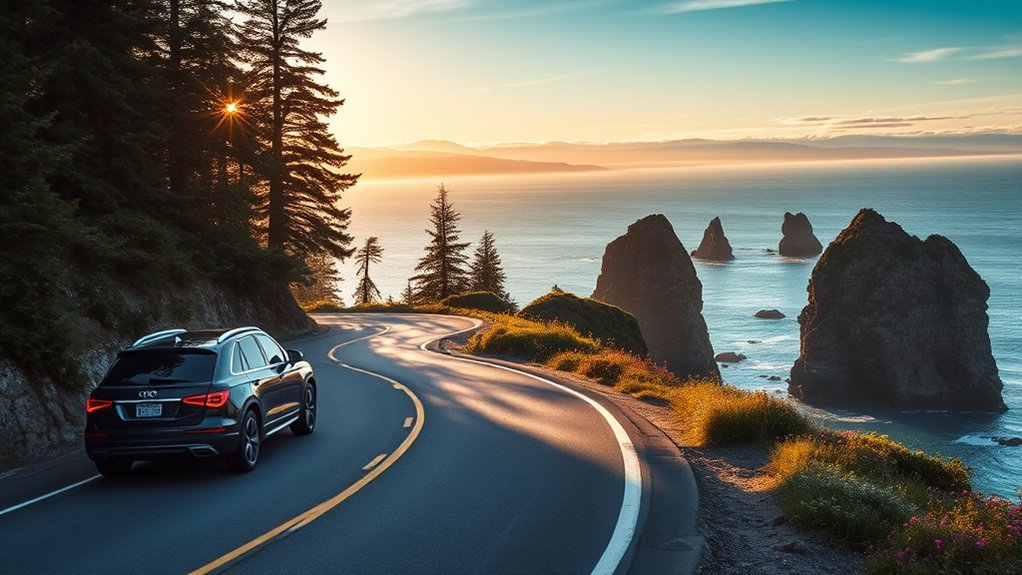
Clockwise Route Order From Port Angeles
- Hurricane Ridge: Visit as an optional early side trip, then return to Port Angeles.
- Lake Crescent: Stop for roadside views, the lodge area, or Marymere Falls.
- Sol Duc: Add the valley if road conditions and time allow.
- Forks: Refuel and buy food before remote west-side detours.
- Hoh Rain Forest: Arrive before 10 a.m. or after 5 p.m. when possible.
- Ruby Beach and Kalaloch: Check parking, road access, weather, and tides.
- Quinault: Explore the lake and accessible rain-forest roads.
- Hood Canal: Continue through the eastern peninsula before returning through Sequim.
Counterclockwise Route Order From Port Angeles
- Sequim: Begin with food, supplies, or a Dungeness-area detour.
- Hood Canal: Follow the eastern side and add Staircase if conditions suit your vehicle.
- Olympia and Aberdeen area: Use the southern cities for fuel and meal breaks.
- Quinault: Enter the rain-forest region from the south.
- Kalaloch and Ruby Beach: Time coastal stops around daylight and tides.
- Hoh Rain Forest: Visit outside peak midday hours when possible.
- Forks: Rest and refuel before the final northern section.
- Lake Crescent: Finish with the lake before returning to Port Angeles.
Sekiu and the Strait of Juan de Fuca coast are not directly on the standard U.S. 101 loop. To visit them, take an optional detour on SR 112 and allow additional time. Do not describe this north-coast detour as the southwest section of the loop.
Coastal Tide and Wildlife Safety
Beach access is not only a driving decision. Some coastal routes, headlands, and tide-pool areas become unsafe or impassable as the tide rises. Check official tide predictions and understand the safe return window before walking away from a parking area.
Warning: Never turn your back on the Pacific Ocean. Waves can reach far beyond the previous high-water line, and driftwood can move without warning. Review the NPS tide-safety guidance before entering a wilderness beach.
Wildlife sightings depend on habitat, season, time of day, and chance, not the direction in which you drive. Stay inside your vehicle when animals are close to the road, never feed them, and follow the park’s current distance requirements. Use a zoom lens rather than approaching for a photograph.
How to Match the Loop to Your Trip
Start with your non-negotiable stops, lodging, ferry arrival, and available daylight. Then build the direction around those constraints.
| Trip Type | Suggested Plan |
|---|---|
| One day from Port Angeles | Choose Hurricane Ridge plus Lake Crescent, or Lake Crescent plus one west-side area. Skip the full loop. |
| Two-day west-side trip | Drive clockwise, sleep near Forks or Kalaloch, then continue toward Quinault. |
| Three-day full loop | Use one night near Port Angeles, one on the west or south side, and a final day along Hood Canal. |
| Arriving from Seattle by ferry | Continue counterclockwise down the east side or drive directly to Port Angeles before beginning clockwise the next morning. |
| Traveling with an RV or trailer | Stay mainly on U.S. 101 and check restrictions before using Deer Park, Obstruction Point, Queets, Quinault, or other narrow spur roads. |
Before leaving each morning, check road conditions, ferry alerts, weather, tides, and the operating status of your planned destination. A flexible route is more useful than a rigid schedule on the Olympic Peninsula.
Frequently Asked Questions
How do you get directions for the Olympic Peninsula loop?
Download an offline map and enter several route points instead of asking for one destination. For a clockwise trip from Port Angeles, use Lake Crescent, Forks, Hoh Rain Forest, Kalaloch, Quinault, Olympia, Hoodsport, and Sequim. Reverse that order for a counterclockwise trip. Always compare the route with current NPS and WSDOT closures.
Why is Port Angeles famous?
Port Angeles is a major gateway to Olympic National Park, Hurricane Ridge, Lake Crescent, and the Olympic Peninsula. It also has a ferry connection to Victoria, a working waterfront, the Olympic National Park Visitor Center, and access to trails and coastal scenery.
How much is parking near the Port Angeles ferry?
The Black Ball Ferry Line terminal does not provide long-term customer parking. Privately operated lots within one or two blocks generally charge about $12 to $15 per calendar day. Prices and payment methods can change, so check the official parking page before arrival.
What do people do in Port Angeles?
Common activities include visiting Hurricane Ridge, exploring Lake Crescent, walking the waterfront, using the Olympic Discovery Trail, visiting local shops and restaurants, and taking the M.V. Coho to Victoria. Port Angeles is also a practical place to refuel and collect supplies before entering remote park areas.
Can you drive the entire Olympic Peninsula loop in one day?
You can physically cover the main loop in one very long day with minimal stops, but it is not a good way to experience the park. Two or three days allow time for trails, beaches, meals, road delays, and changing weather.
Do you need a reservation for the Seattle ferry to the Olympic Peninsula?
Vehicle reservations are not offered for the Seattle–Bainbridge or Edmonds–Kingston routes. Vehicles are loaded first-come, first-served. Reservations are available only on selected Washington State Ferries routes, including Port Townsend–Coupeville and the San Juan Islands routes.
Is clockwise or counterclockwise better from Port Angeles?
Clockwise is usually more convenient for first-time visitors who want Lake Crescent, Hoh Rain Forest, and the Pacific coast first. Counterclockwise is better when Hood Canal, Staircase, or east-side lodging comes first. Neither direction guarantees better traffic, wildlife, or weather.
Conclusion
The best Olympic Peninsula loop direction is the one that puts your most important stops in the right order. From Port Angeles, clockwise is usually the easiest choice for reaching Lake Crescent, Forks, Hoh Rain Forest, and the coast first. Counterclockwise is better for Hood Canal and the eastern peninsula. Allow two or three days, treat Hurricane Ridge as a separate side trip, and check current road, weather, ferry, and tide information before every travel day.
Sources
- National Park Service: Getting Around Olympic National Park — official route, mileage, and travel-time guidance.
- National Park Service: Visiting in Summer — crowd periods, parking limits, and entrance wait guidance.
- National Park Service: Current Road Conditions — live park-road closures and vehicle restrictions.
- National Park Service: Fees and Passes — current entrance fees and pass validity.
- Washington State Ferries: First-Time Riders — ferry arrival, ticket, and vehicle-reservation rules.
- Black Ball Ferry Line: Port Angeles Parking — current parking locations and daily price range near the Coho terminal.

