
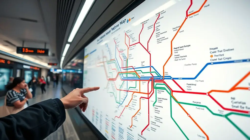
Last Updated on July 27, 2026 by Daniel Globe
The Istanbul Metro is one of the easiest ways to cross this huge city without getting stuck in road traffic. The system can look complicated at first, but you only need to understand line colors, station names, transfer symbols, and the final destination shown on each train. For visitors, knowing the right airport lines and connections to trams, Marmaray, and ferries makes the network much easier to use.
Quick Answer
To use the Istanbul Metro, check your route on the official rail map, identify your line and its end-station direction, pay with an Istanbulkart or another accepted ticket, and follow transfer signs inside the station. Use M11 for Istanbul Airport and M4 for Sabiha Gökçen Airport.
Key Takeaways
- Use the official Istanbul rail map and read the final station shown on each platform to choose the correct direction.
- An Istanbulkart is a convenient payment option across much of Istanbul’s public transport network.
- M11 serves Istanbul Airport (IST), while M4 serves Sabiha Gökçen Airport (SAW).
- M2 is especially useful for Taksim, Şişhane, Levent, Gayrettepe, and Yenikapı.
- Trams and Marmaray are not metro lines, but they are essential parts of many visitor routes, including Sultanahmet, the Grand Bazaar, Balat, and cross-Bosphorus trips.
- Many Metro Istanbul lines normally operate around 06:00 to 00:00, while seven lines also participate in weekend Night Metro service.
At a Glance
| Time Required | About 5–10 minutes to plan a new route before entering the station |
| Difficulty | Easy once you understand line colors, terminus directions, and transfer symbols |
| Tools Needed | Official rail map, Istanbulkart or accepted ticket/payment method, and optionally a phone for route planning |
| Cost | Varies by ticket, operator, and route; Metro Istanbul listed a ₺46.20 full anonymous Istanbulkart fare on July 27, 2026 |
Disclosure: As an Amazon Associate I earn from qualifying purchases. Some links on this page are affiliate links, at no extra cost to you.
Overview of the Istanbul Metro System
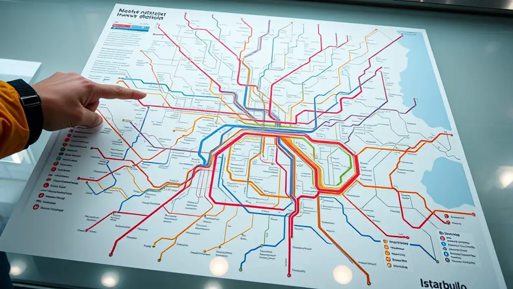
Istanbul’s modern rail network has grown enormously since its early metro operations began in 1989. Today, metro lines connect major residential districts, business centers, transport hubs, shopping areas, airports, and interchange stations on both the European and Asian sides of the city.
Metro Istanbul operates lines including M1A, M1B, M2, M3, M4, M5, M6, M7, M8, and M9. The broader Istanbul rail network also includes trams, funiculars, Marmaray commuter rail, and the M11 airport metro, which is operated separately from Metro Istanbul. You can see Metro Istanbul’s current lines and service information on its official website.
That operator distinction is useful because a map may show several rail services together even though they do not all use identical fares, schedules, or operating arrangements.
For airport travel, remember two numbers: M11 for Istanbul Airport (IST) and M4 for Sabiha Gökçen Airport (SAW).
How to Read the Istanbul Metro Map
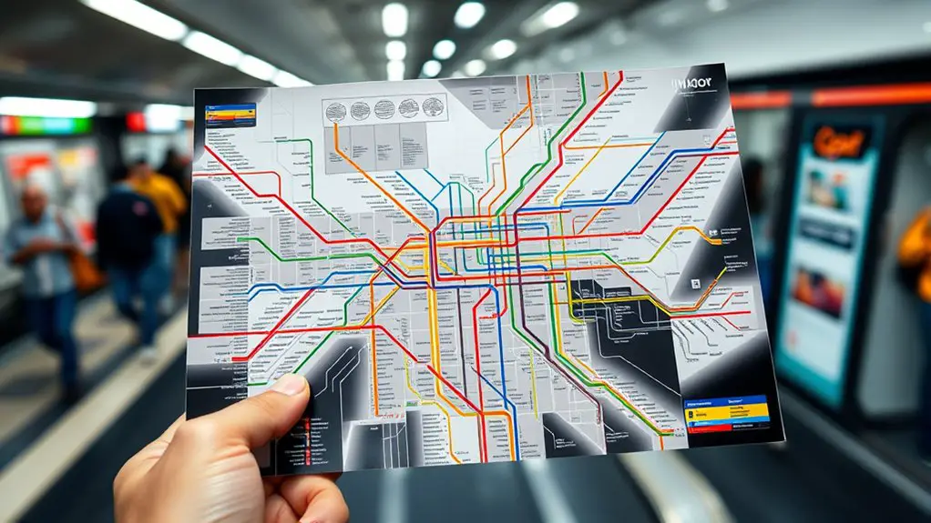
Start with the official Istanbul rail-systems map. Each metro route has a number such as M2, M4, or M5 and a distinct color. Tram lines use a T prefix, while funicular services use F.
The most important map symbols are the interchange points. These show where you can change to another metro, tram, Marmaray, Metrobus, ferry connection, or other rail service.
Do not rely only on the line color. Before boarding, check the final station shown for your direction of travel. For example, an M2 platform may indicate trains toward Yenikapı in one direction and Hacıosman in the other.
Pro Tip: When you have a transfer, memorize three things before entering the first train: the line number you are taking, the station where you will change, and the end station shown for your direction. That is usually easier than memorizing every stop.
How to Use the Istanbul Metro Step by Step
- Find your starting station and destination. Use the official map or journey planner before going through the gates.
- Identify your first line. Note its number, such as M2 or M4.
- Check the correct direction. Follow signs for the final station at the end of the line in the direction you need to travel.
- Pay at the gate. Tap your Istanbulkart or use another payment method accepted for that service.
- Count transfers, not just stations. If your route changes lines, get off at the named interchange and follow signs for the next service.
- Check the direction again after every transfer. The same line has platforms serving opposite directions.
- Watch station displays and announcements. Prepare to move toward the doors before your stop without blocking passengers who are exiting.
- Follow exit signs. Large stations can have several exits, so check which street, square, or landmark is listed before leaving the paid area.
Key Metro Lines and Stations
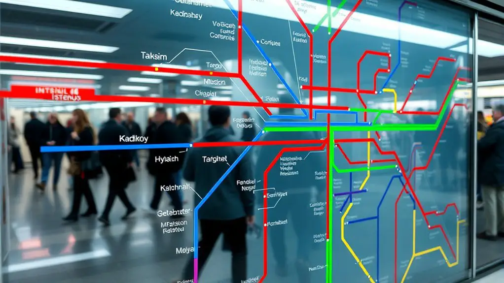
You do not need to memorize every Istanbul Metro line before your trip. These are among the most useful routes and connections for visitors:
| Line | Current Route / Role | Useful For |
| M2 | Yenikapı–Hacıosman, with a Seyrantepe branch | Taksim, Şişhane, Osmanbey, Şişli-Mecidiyeköy, Gayrettepe, Levent, and connections at Yenikapı |
| M4 | Kadıköy–Sabiha Gökçen Airport | SAW airport, Kadıköy, Marmaray at Ayrılık Çeşmesi, and Metrobus at Ünalan |
| M5 | Üsküdar–Sultanbeyli | Üsküdar, Asian-side neighborhoods, Marmaray/ferries at Üsküdar, and M8 at Dudullu |
| M7 | Yıldız–Mahmutbey | Mecidiyeköy, Kağıthane, Alibeyköy, and several metro/tram connections |
| M11 | Gayrettepe–Istanbul Airport–Halkalı corridor | Istanbul Airport (IST) and connections with the city rail network at Gayrettepe and Halkalı |
| M1A / M1B | Yenikapı toward Atatürk Airport / Kirazlı | Western districts and transfers; M1A’s Atatürk Airport stop is not a current commercial passenger-airport connection |
M2 is particularly useful for first-time visitors because it passes through Taksim, Şişhane, Şişli-Mecidiyeköy, Gayrettepe, Levent, and Yenikapı. At Yenikapı, travelers can connect with other rail services including Marmaray.
Istanbul Airport Metro Connections
Istanbul Airport (IST): Use M11
The modern airport route is M11, not the old M1A Atatürk Airport line. The Gayrettepe–Istanbul Airport–Halkalı corridor was completed in June 2026 when the final Halkalı–Arnavutköy section entered service.
Travelers heading toward central districts can use the M11 connection at Gayrettepe to reach M2 and continue toward areas such as Taksim, Şişhane, and Yenikapı. The completed corridor also runs west through Istanbul Airport toward Halkalı.
The latest M11 operating information should be checked close to travel because it is operated separately from Metro Istanbul’s municipal metro lines. The Turkish Ministry of Transport documented completion of the full corridor in June 2026.
Sabiha Gökçen Airport (SAW): Use M4
M4 runs directly between Sabiha Gökçen Airport and Kadıköy. This makes it one of the most useful Asian-side lines for international visitors.
Important M4 connections include:
- Ayrılık Çeşmesi: transfer to Marmaray.
- Ünalan: connection with Metrobus.
- Kozyatağı: transfer to M8.
- Kadıköy: connections to ferries, the T3 tram, and other local transport.
Warning: Do not use “Atatürk Airport” on the M1A as your route for a normal commercial flight. Scheduled commercial passenger operations moved from Atatürk Airport to the new Istanbul Airport in April 2019. Check your ticket for IST or SAW before choosing an airport rail route.
Istanbulkart, Tickets, and Fares
An Istanbulkart is one of the most convenient ways to pay for public transport. It can be used across Istanbul’s integrated transport network, including metro, buses, trams, and many other services. Istanbulkart Mobile also supports balance loading and public-transport payments.
Fares change periodically, so check the official Metro Istanbul fare page before your trip. As of July 27, 2026, Metro Istanbul listed a ₺46.20 full fare for the Anonymous Istanbulkart and ₺65 for a one-pass electronic ticket.
Note: Those figures are Metro Istanbul’s listed fares on the date above. Other operators or special rail services can use different pricing rules, so do not assume one fare applies to every train shown on Istanbul’s combined rail map.
You can top up an Istanbulkart through supported vending/loading points or Istanbulkart Mobile. Because machine features and accepted payment methods can vary, check the instructions displayed on the machine before starting the transaction.
Operating Hours and Night Metro
Many Metro Istanbul lines, including M2 and M4, normally list operating hours of approximately 06:00 to 00:00. However, that does not mean the entire system closes every Friday and Saturday at midnight.
Metro Istanbul currently runs Night Metro service on these seven lines:
- M1A Yenikapı–Atatürk Airport
- M1B Yenikapı–Kirazlı
- M2 Yenikapı–Hacıosman
- M4 Kadıköy–Sabiha Gökçen Airport
- M5 Üsküdar–Sultanbeyli
- M6 Levent–Boğaziçi University/Hisarüstü
- M7 Yıldız–Mahmutbey
These lines operate continuously from 06:00 Friday until 00:00 Sunday under the current weekend Night Metro program. Metro Istanbul applies a double tariff during the designated overnight fare period, currently beginning at 00:30 and ending at 05:30.
Special events, maintenance, or temporary service changes can affect individual lines, so check official service information on the day you travel.
Tips for Using the Metro Effectively
Before entering a station, check your route and identify where you need to transfer. A few seconds of planning can prevent you from boarding a train in the wrong direction.
- Let passengers leave first. Stand to the side of the doors before boarding.
- Keep entrances clear. Move farther into the carriage instead of stopping directly beside the doors.
- Offer priority seating when appropriate. Give space to passengers who need it more.
- Keep bags controlled. In crowded trains, hold backpacks or luggage where they will not block aisles or doors.
- Stay aware of valuables. Use the same common-sense precautions you would on any busy big-city transport system.
- Allow extra transfer time. Major interchange stations can involve long corridors, escalators, or elevators.
Peak commuting periods can be crowded. Metro Istanbul’s passenger rules also place restrictions on some items, including non-folding bicycles and scooters during weekday peak periods, so travelers carrying large equipment should check the current rules before boarding.
Accessibility on the Istanbul Metro
Metro Istanbul provides accessibility features that include elevators, escalators, ramps, accessible fare gates, tactile surfaces, guidance paths, and audio or visual passenger information. The operator states that it continues to improve accessibility across its network.
Travelers who depend on step-free access should check the official accessibility information and current equipment status before starting a journey. An elevator that is normally available can still be temporarily out of service.
Stations on modern lines such as M5 were built with dedicated accessibility turnstiles and elevators, while other parts of Istanbul’s rail system vary by age and design.
Exploring Istanbul Beyond the Metro
The metro is only one part of Istanbul’s rail network. Some of the city’s most famous attractions are easier to reach by combining the metro with a tram, Marmaray, or ferry.
Sultanahmet, Hagia Sophia, and the Blue Mosque
The T1 Kabataş–Bağcılar tram is the key surface rail service through the historic peninsula. Its Sultanahmet stop is convenient for Hagia Sophia, the Blue Mosque, and nearby historic sights. Depending on where you start, you can connect to T1 from the wider rail network rather than trying to find a metro station directly beside these attractions.
Grand Bazaar
The T1 tram also serves the historic shopping district, including the Beyazıt-Kapalıçarşı area. This is generally more useful for the Grand Bazaar than searching for a direct metro stop at its entrance.
Taksim
M2 Taksim gives direct metro access to Taksim Square and İstiklal Avenue. The nearby F1 funicular also connects Taksim with Kabataş, where passengers can change to the T1 tram and waterfront transport.
Kadıköy
M4 terminates at Kadıköy, making the line useful for local markets, restaurants, waterfront areas, and ferry connections between the Asian and European sides.
Balat
Balat does not require a long walk from an unrelated metro station. The T5 Eminönü–Alibeyköy tram has dedicated Fener and Balat stations, making it a useful rail connection for exploring the colorful historic neighborhoods along the Golden Horn.
As you move between neighborhoods, remember that ferries can also be practical transport rather than only sightseeing trips. Istanbul’s metro, trams, Marmaray, buses, and ferries work best when treated as one connected network.
Frequently Asked Questions
What are the operating hours of the Istanbul Metro?
Many Metro Istanbul lines normally operate from about 06:00 to 00:00. Seven lines currently participate in weekend Night Metro service, providing continuous operation from Friday at 06:00 until Sunday at 00:00. Always check the specific line before traveling because maintenance or special events can change service.
Can I use an Istanbulkart for public transport?
Yes. Istanbulkart is widely used across Istanbul’s integrated public-transport network, including metro, buses, trams, and other services. However, exact fares and charging rules can vary by operator or route, so check current tariffs when using services outside the standard Metro Istanbul network.
Is the Istanbul Metro wheelchair accessible?
Metro Istanbul provides elevators, ramps, accessible gates, tactile guidance, and other accessibility features throughout its network. Because equipment can occasionally be unavailable, passengers who require step-free access should check station and elevator status before traveling.
Are there safety concerns while using the metro?
Use normal big-city transport precautions. Keep bags and valuables controlled, stay behind platform safety markings, follow staff instructions, and avoid blocking train doors or emergency equipment. If you need help, contact station staff or security personnel.
How do I recharge my Istanbulkart?
You can add value through supported Istanbulkart loading points and vending machines, and eligible users can also use Istanbulkart Mobile. Follow the instructions displayed at the machine because payment options can vary by location and equipment.
Which metro goes to Istanbul Airport?
Use the M11 Gayrettepe–Istanbul Airport–Halkalı corridor for Istanbul Airport (IST). Do not confuse it with the M1A Atatürk Airport station, which no longer serves Istanbul’s scheduled commercial passenger airport traffic.
Which metro goes to Sabiha Gökçen Airport?
The M4 Kadıköy–Sabiha Gökçen Airport line serves Sabiha Gökçen Airport (SAW). Useful transfers include Marmaray at Ayrılık Çeşmesi and Metrobus at Ünalan.
Conclusion
Using the Istanbul Metro becomes much easier once you stop trying to memorize the whole network. Learn your line number, check the final-station direction, know where you need to transfer, and keep an Istanbulkart or other accepted payment method ready. For flights, remember M11 for Istanbul Airport and M4 for Sabiha Gökçen Airport. Combine the metro with T1, T5, Marmaray, and ferries when exploring places such as Sultanahmet, the Grand Bazaar, Balat, and the Bosphorus waterfront.
Sources
- Metro Istanbul — current Metro Istanbul lines, service status, timetables, and passenger information.
- Metro Istanbul Rail Systems Map — official Istanbul rail-network map.
- Metro Istanbul Tickets and Fares — current Istanbulkart and electronic-ticket pricing.
- Metro Istanbul Night Metro — participating lines, weekend operating period, and night tariff.
- Metro Istanbul Accessibility Services — elevators, ramps, tactile guidance, accessible gates, and other accessibility features.
- Republic of Türkiye Ministry of Transport and Infrastructure — June 2026 completion of the Gayrettepe–Istanbul Airport–Halkalı metro corridor.
