
Last Updated on July 27, 2026 by Daniel Globe
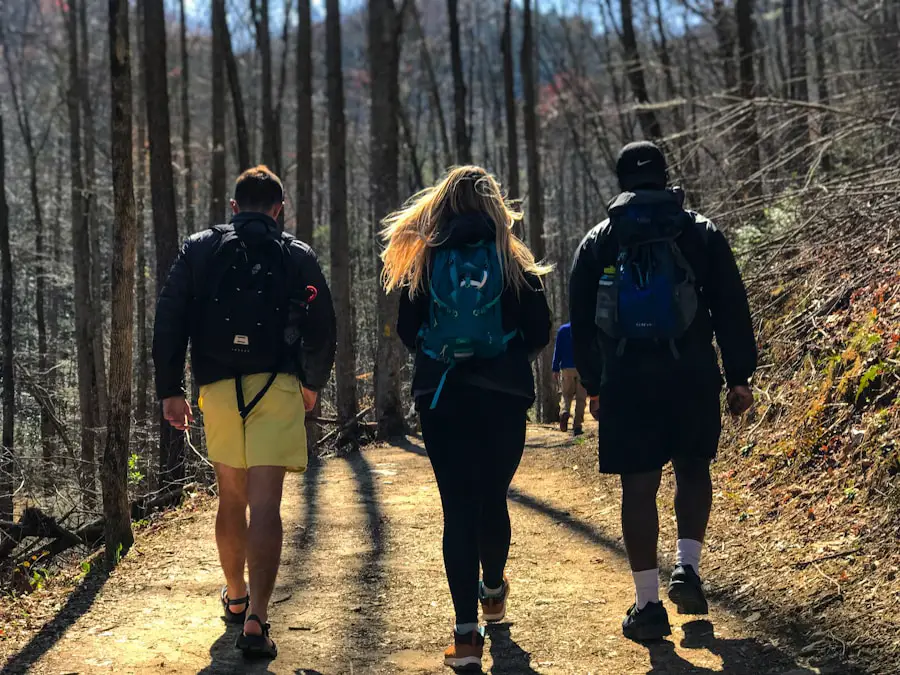
NOBO hiking means traveling northbound along a trail, usually from its southern terminus toward its northern terminus. The term is especially common in long-distance hiking and thru-hiking communities on trails such as the Appalachian Trail (A.T.), Pacific Crest Trail (PCT), and Continental Divide Trail (CDT). Direction may sound like a simple choice, but on a multi-month hike it can affect weather, snow, crowds, permits, resupply logistics, and the terrain you encounter first.
Quick Answer
NOBO means “northbound.” A NOBO hiker travels generally from the southern end of a trail toward its northern end. On long trails, choosing NOBO can affect your start date, weather, snow exposure, crowds, permits, resupply schedule, and finish window, so the best direction depends on the specific trail.
Key Takeaways
- NOBO is trail shorthand for northbound; SOBO means southbound.
- There is no universal “best” direction. Weather, snow, heat, permits, crowds, trail access, and your available dates matter more than the label.
- The Appalachian Trail and Pacific Crest Trail are well-known examples where many thru-hikers travel northbound.
- Plan permits, resupply, transportation, navigation, water, emergency exits, rest days, and current trail conditions before starting.
- A permit date or mileage goal should never pressure you to continue into weather or terrain beyond your skills.
At a Glance
| Time Required | From a day or section hike to several months for a complete long-distance thru-hike |
| Difficulty | Varies by trail; long-distance NOBO hikes can be very strenuous and may involve heat, cold, snow, steep terrain, remote sections, and changing conditions |
| Tools Needed | Appropriate backpacking gear, navigation tools, water treatment, first aid, weather protection, food storage, and an emergency plan |
| Cost | Highly variable depending on trail length, existing gear, transportation, food, lodging, permits, laundry, replacement equipment, and town stops |
Disclosure: As an Amazon Associate I earn from qualifying purchases. Some links on this page are affiliate links, at no extra cost to you.
What Does NOBO Hiking Mean?
NOBO is an abbreviation for “northbound.” In trail language, a NOBO hiker is moving north along a route. On a trail with clear southern and northern termini, that usually means starting at the southern end and progressing toward the northern end.
The term does not automatically mean that a person is completing the whole trail. Someone can be a NOBO thru-hiker, a NOBO section hiker, or simply a day hiker traveling north along part of a route.
Related trail terms include:
- SOBO: Southbound travel, usually from a northern terminus toward a southern terminus.
- Thru-hike: Completing an entire long-distance trail as one continuous journey or within the trail organization’s recognized time framework.
- Section hike: Completing part of a trail rather than the entire route in one trip.
- Flip-flop: Hiking separate connected portions of a long trail in different directions or sequences, often to improve seasonal timing or avoid unsafe conditions.
- Zero day: A rest or town day with no forward trail mileage.
- Nero day: A “nearly zero” day with only a small amount of trail mileage.
The appeal of NOBO hiking goes beyond the compass direction. On a long journey, hikers watch landscapes, temperatures, plant life, wildlife activity, daylight, and trail communities change as the season progresses. Many also value the mental challenge, independence, friendships, and time in nature that come with long-distance hiking.
More than 90% of Pacific Crest Trail thru-hikers travel northbound, according to the Pacific Crest Trail Association. Direction is popular for practical reasons as well as tradition, but the best itinerary still depends on current conditions.
Planning Your NOBO Hiking Adventure
Planning a NOBO trip requires more than picking the southern trailhead and walking north. Trail length, terrain, snowpack, heat, water availability, permits, transportation, physical conditioning, resupply options, seasonal services, and your available time can all influence whether a northbound itinerary makes sense.
Choosing the Right Trail
Several famous U.S. long-distance trails can be traveled northbound, but they provide very different experiences.
- Appalachian Trail: The Appalachian Trail Conservancy describes the A.T. as more than 2,190 miles long. Its exact mileage can change as sections are relocated. NOBO thru-hikers travel from Springer Mountain in Georgia toward Katahdin in Maine.
- Pacific Crest Trail: The PCT runs approximately 2,650 miles between the Mexican and Canadian borders through California, Oregon, and Washington.
- Continental Divide Trail: The USDA Forest Service describes the Continental Divide National Scenic Trail as roughly 3,100 miles from Mexico to Canada. The route is more complex than a single uniform footpath, so current maps and local rules are especially important.
- John Muir Trail: The JMT can also be traveled northbound, but wilderness-permit requirements depend on where the trip begins. A NOBO JMT itinerary should be planned around the permit issued by the agency managing the starting trailhead.
Choose a trail based on more than mileage. Consider elevation, technical terrain, remoteness, water availability, seasonal hazards, camping rules, required food storage, resupply distance, public transportation, and how much previous backpacking experience you have.
Choose a Start Window, Not Just a Start Date
A NOBO start date that works on one trail can be dangerous on another.
For the Appalachian Trail, the Appalachian Trail Conservancy’s current northbound guidance says most NOBO thru-hikers begin in March or early April at Springer Mountain and finish in September. An early start can bring winter conditions in the southern mountains, while a slow or late itinerary can create problems at the northern end. ATC advises NOBO hikers to plan their progress with Katahdin’s seasonal access in mind.
For the PCT, the Pacific Crest Trail Association generally recommends a late-April or early-May NOBO start for a typical thru-hike. Starting too early can mean dangerous snow in Southern California and the Sierra Nevada, while starting too late can expose hikers to extreme desert heat and reduce the time available to reach Washington before early winter storms.
Warning: A permit opening or available start date does not mean trail conditions are safe for your skill level. Check snow, heat, wildfire, weather, water, closures, and official alerts immediately before and during your trip, and change your itinerary when conditions require it.
Check Permits and Regulations
Do not assume one rule covers an entire long-distance trail. Wilderness areas, national parks, forests, state lands, and other jurisdictions can have different camping, fire, food-storage, quota, and permit rules.
For the PCT, the PCT Long-distance Permit is available for qualifying continuous trips of 500 miles or more. For 2026, PCTA limits northbound starts south of Sonora Pass to 50 long-distance permits per day and limits NOBO thru-permit starts in that zone to March 1 through May 31. Annual application dates and permit terms can change, so hikers should use the current permit page rather than relying on an old blog post or previous year’s itinerary.
The Appalachian Trail does not operate under one single trail-wide backpacking permit. Instead, hikers must follow the regulations and permit requirements of the individual parks, forests, and other lands they cross.
Likewise, hikers entering Yosemite and other high-use wilderness areas should verify current wilderness-permit requirements before finalizing a JMT or Sierra itinerary.
Creating a Detailed Itinerary
A useful itinerary provides structure without pretending that every day will unfold exactly as planned. Estimate your mileage using your actual backpacking experience, terrain, elevation, pack weight, and seasonal conditions.
Many hikers begin with more conservative mileage and increase it only after their body has adapted. Build rest days and schedule buffers into the trip instead of assuming perfect weather and uninterrupted progress.
Your plan should identify:
- major trail sections and approximate mileage;
- likely resupply towns;
- long food or water carries;
- required permits and seasonal restrictions;
- transportation to the starting trailhead;
- transportation from the northern terminus;
- alternate exit points;
- places where weather, snow, fire, or river conditions may require a change;
- emergency contacts and the person who will know your general itinerary.
Pro Tip: Plan around major checkpoints instead of assigning yourself a mandatory campsite for every night. A flexible plan makes it easier to respond to fatigue, injuries, weather, closures, unexpected town delays, and changing trail conditions.
Planning for Resupply Points
Long-distance hikers must regularly replenish food, fuel where legal and needed, toiletries, medications, and occasionally worn-out gear. Before starting, identify towns, stores, post offices, outfitters, and other resupply options near the trail.
Some hikers buy most food as they go. Others mail selected resupply boxes to locations where shopping choices are limited or where they need specific food, medication, or equipment. A combination of both methods often provides more flexibility than trying to mail every meal months in advance.
Also check transportation between the trail and town. A store that appears close on a map may still require a difficult road walk, shuttle, hitch, or other arrangement.
Navigation and Current Conditions
Do not depend on cell service as your only navigation or safety system. Carry the maps or navigation tools appropriate to your route, download offline information before leaving service, and know how to use your backup system.
The National Park Service includes navigation among its Ten Essentials and recommends knowing how to use a map, compass, or GPS system before heading out.
During a long hike, repeatedly check official trail alerts, wildfire closures, weather forecasts, water reports where available, snow conditions, road access, and land-manager notices. Conditions hundreds of miles ahead may change substantially before you arrive.
Note: “NOBO” describes your direction, not a promise to maintain a perfectly continuous northward line regardless of danger. Closures, emergencies, permit restrictions, snow, wildfire, flooding, or other hazards may require rerouting, flipping, leaving the trail, or returning later.
Essential Gear for NOBO Hiking
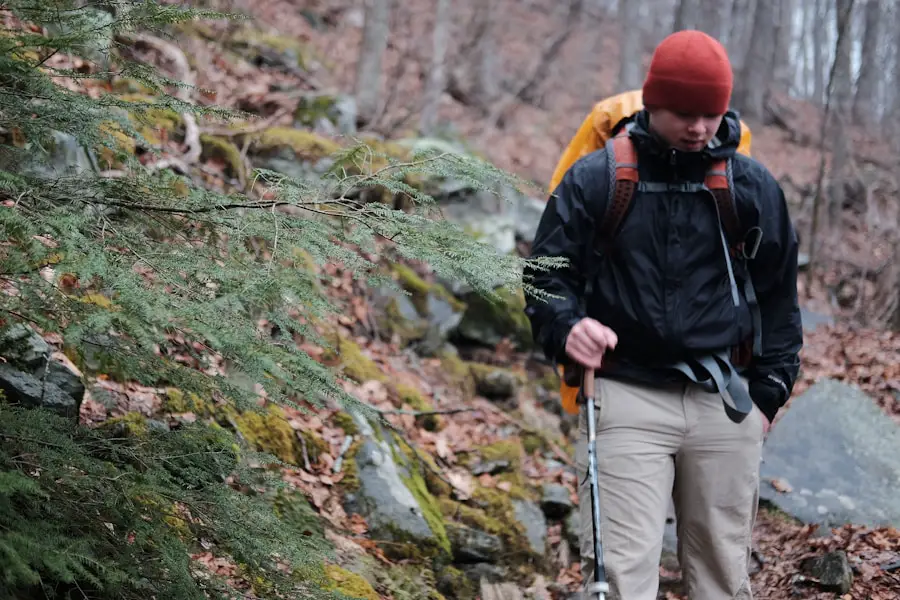
The right gear can make a NOBO trip safer and more comfortable, but the best setup depends on the trail and season. Lightweight equipment can reduce fatigue, but cutting weight should never mean removing equipment required for the conditions you expect to face.
A backpack should fit your torso and hips properly and comfortably carry the actual load you plan to use. Capacity matters, but fit and load transfer are more important than choosing a pack simply because it has the most compartments.
Clothing should work as a layering system. A typical setup includes a moisture-managing base layer, insulation appropriate to expected temperatures, and rain or weather protection. A PCT desert section, snowy Sierra crossing, humid Mid-Atlantic summer, and cold Appalachian spring can require very different clothing choices.
Footwear is equally personal. Some hikers prefer boots, while many long-distance hikers use hiking shoes or trail-running shoes. Choose footwear that fits your feet, suits the terrain and weather, and remains comfortable when your feet swell after long days. Test shoes before the trip and address hot spots as soon as you feel them instead of waiting for a blister to develop.
Use the Ten Essentials as a Baseline
For backcountry travel, the National Park Service organizes its Ten Essentials into these systems:
- navigation;
- sun protection;
- insulation;
- illumination;
- first-aid supplies;
- fire-starting equipment where appropriate and legal;
- repair kit and tools;
- food;
- hydration and water treatment;
- emergency shelter.
A multi-week or multi-month NOBO hike requires additional trail-specific equipment, but this list provides a useful safety baseline.
Water Treatment
Do not assume a clear mountain stream is safe to drink untreated. Carry a treatment method appropriate to your trail and understand how to use it. Depending on the system, hikers may use a filter, purifier, chemical treatment, boiling, or a combination where appropriate.
Plan water carries before leaving a reliable source, especially in hot, dry, high-elevation, or drought-affected sections. Water availability can change seasonally, so old trip reports should not be your only source of information.
Food Storage and Wildlife
Food-storage requirements vary by location. Some areas require approved bear-resistant containers, while others have different storage rules. Check every land-management unit on your route and follow the most current requirement rather than assuming one storage method is legal everywhere.
Store food and scented items responsibly, keep a safe distance from wildlife, and never feed animals.
NOBO vs. SOBO vs. Flip-Flop
No hiking direction is universally better. Direction determines the order in which you encounter terrain and seasons, and that can substantially change the experience.
NOBO
A northbound itinerary often works well when the southern end becomes hikeable earlier in the year than the northern end. It can also provide a large trail community on routes where most hikers begin in the south.
That popularity has tradeoffs. Campsites, shelters, trail towns, shuttles, and other services may be crowded during the main NOBO “bubble.” On the PCT, PCTA specifically notes that Southern California can be busy for northbound thru-hikers.
SOBO
A southbound itinerary reverses the seasonal and terrain sequence. On some trails it can provide more solitude, but it may place physically difficult or remote terrain at the beginning of the trip.
For example, ATC describes a southbound Appalachian Trail start at Katahdin and in Maine as a challenging option because hikers immediately encounter rugged and relatively remote terrain.
Flip-Flop
A flip-flop divides the route into connected segments rather than hiking continuously from one terminus to the other in a single direction. This can help hikers work around seasonal conditions, reduce crowding, or fit a different start date.
PCTA specifically recognizes flip-flop itineraries as an option for avoiding snow-bound sections and returning when conditions improve, although additional local permits may be required.
How to Choose
Consider NOBO when your available start date matches the trail’s northbound weather window, you are comfortable with the expected crowd level, permits are available, and the route’s seasonal progression matches your experience.
Consider another direction or a flip-flop when a traditional NOBO date would place you in dangerous heat, deep snow, flooding, wildfire conditions, early winter weather, or terrain beyond your current skills.
Tips for a Successful NOBO Hiking Trip
| Tip | What It Means on the Trail |
| Proper Gear | Use a properly fitted backpack, tested footwear, weather-appropriate clothing, sleep system, shelter, navigation, water treatment, and safety equipment suited to the route. |
| Physical Conditioning | Train by walking or hiking regularly and, when possible, practice with the pack weight and terrain you expect to encounter. |
| Navigation Skills | Know how to use your primary and backup navigation systems, and download needed maps or information before leaving service. |
| Water and Food | Know the next reliable water source and resupply option, treat backcountry water, and carry enough food plus an appropriate safety margin for the section. |
| Weather Awareness | Check current forecasts and official alerts, then adjust your route or schedule when storms, heat, snow, fire, or other conditions create unacceptable risk. |
| Leave No Trace | Plan ahead, use durable surfaces, dispose of waste properly, leave natural objects where they are, minimize campfire impacts, respect wildlife, and consider other visitors. |
| Emergency Plan | Know your exit points, carry first-aid supplies, understand communication limitations, and leave your general itinerary and expected check-ins with someone reliable. |
Success on a long NOBO hike depends as much on pacing and judgment as raw fitness. Maintaining a sustainable rhythm is usually more useful than racing toward an arbitrary mileage target. Regular breaks for food, water, foot care, navigation checks, and weather assessment can help prevent small problems from becoming major ones.
Expect your comfortable daily mileage to change. A distance that feels easy on a smooth section may be unrealistic during steep climbs, deep snow, extreme heat, stream crossings, storms, or rough northern terrain.
Flexibility is equally important. Weather and trail conditions can change quickly, and transportation, resupply, injuries, illness, closures, and equipment problems can disrupt even a carefully designed itinerary. Adjusting a plan is part of successful long-distance hiking, not a sign that the trip has failed.
A positive mindset can help through difficult stretches, but optimism should never override evidence of danger. Celebrate small milestones while remaining willing to stop, rest, reroute, or leave the trail when necessary.
Safety Considerations for NOBO Hiking
Long-distance hiking exposes you to changing hazards for days or months at a time. Before each section, review the terrain, expected weather, water availability, wildlife concerns, evacuation options, and official alerts.
Carry Navigation and Emergency Essentials
Carry navigation that remains usable when your phone has no signal. Keep devices charged, protect electronics from weather, and consider how you will navigate if a device is damaged or its battery fails.
Pack first-aid supplies appropriate to your skills and needs. A basic kit may include wound-care materials, blister treatment, personal medications, and other items you know how to use. First-aid knowledge is at least as important as the kit itself.
Tell a reliable person your general itinerary and how to recognize an overdue check-in. On remote routes, determine whether your communication plan requires a satellite messenger or other device that can function beyond cellular coverage.
Watch Weather, Snow, Heat, Fire, and Water
Northbound hikers may cross several climate zones during one trip. Conditions that were mild at the southern terminus can be completely different hundreds of miles north.
On the PCT, for example, a NOBO hiker may encounter Southern California heat, lingering mountain snow, high Sierra stream crossings, wildfire closures, and the risk of early-season winter storms farther north. PCTA warns that Washington snow can arrive surprisingly early and that hikers should plan to finish before winter conditions become a serious threat.
On the Appalachian Trail, an early NOBO start can expose hikers to snow and cold at high elevations in the southern Appalachians, followed later by hot and humid weather in the Mid-Atlantic.
Never enter a flooded stream, steep snow slope, wildfire closure, severe storm, or other hazard merely to preserve a continuous itinerary. Conditions can exceed the capabilities of otherwise strong hikers.
Treat Drinking Water
Carry enough water for the section ahead and use an appropriate treatment method for backcountry sources. Verify whether seasonal sources are actually flowing before depending on them.
Extra water may be necessary during hot or dry sections. Conversely, heavy precipitation can make normally simple crossings dangerous, so abundant water is not always a benefit.
Know Your Exit Options
Before entering a remote section, identify major road crossings, side trails, ranger stations, towns, and other possible exits. An emergency plan is much more useful when you know where you can realistically leave the trail.
Warning: Do not rely on this or any general hiking guide for real-time safety decisions. Current land-manager closures, emergency instructions, weather warnings, wildfire orders, permit rules, and on-the-ground conditions take priority.
Embracing the Challenges of NOBO Hiking
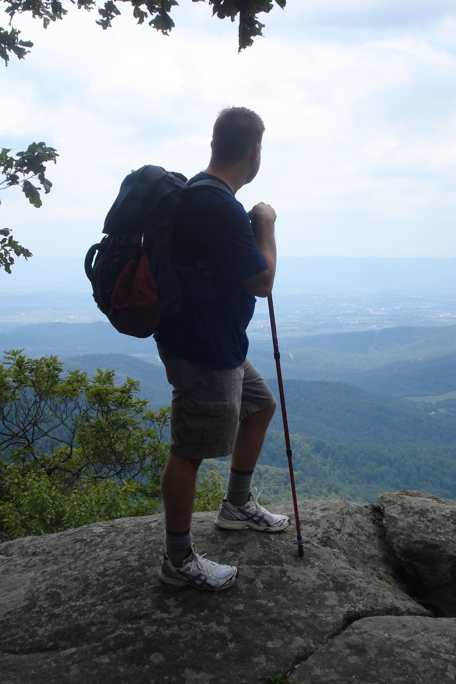
NOBO hiking can test physical endurance and mental resilience. Steep ascents, long descents, wet weather, heat, cold, repetitive days, sore feet, equipment problems, unexpected closures, and homesickness can all become part of a long journey.
Working through reasonable challenges can create a strong sense of accomplishment and improve confidence. Hikers also develop practical problem-solving skills as they learn to manage food, water, weather, navigation, fatigue, resupply, transportation, and changing conditions.
However, embracing difficulty does not mean ignoring risk. One of the most important long-distance hiking skills is recognizing the difference between discomfort that can be managed and danger that requires a change of plan.
A strong hiker may still need to take an extra rest day, leave the trail for medical attention, wait for weather to improve, use an official alternate, or return to a missed section later. Adaptability is part of the challenge.
Connecting with Nature on a NOBO Hiking Adventure
One of the most rewarding parts of NOBO hiking is spending extended time outdoors. As hikers travel through forests, deserts, meadows, mountains, river valleys, and other landscapes, they often notice seasonal changes that are easy to miss on a short trip.
The sights and sounds of wildlife, changing vegetation, sunrises, storms, quiet camps, and remote terrain can make a long hike feel very different from everyday life. For many people, that immersion creates a stronger appreciation for the landscapes through which the trail passes.
That experience also comes with responsibility. The Leave No Trace Seven Principles encourage visitors to plan ahead, travel and camp on durable surfaces, dispose of waste properly, leave what they find, minimize campfire impacts, respect wildlife, and be considerate of others.
Long-distance hikers can pass through the same campsites, water sources, and fragile environments in large numbers. Small choices therefore add up. Follow local camping and fire regulations, pack out trash, protect water sources, avoid feeding wildlife, and minimize unnecessary damage to vegetation and soil.
Reflecting on the Rewards of NOBO Hiking
The rewards of a NOBO journey extend beyond physical fitness or reaching a northern terminus. Many hikers remember the smaller moments just as clearly: an unexpected view after a hard climb, a meal after a long day, a sunrise from camp, help from another hiker, or the quiet of a remote stretch of trail.
The social side can also be significant. Because many hikers move in the same general direction at similar speeds, they may repeatedly meet the same people at campsites, towns, water sources, and resupply stops. Shared challenges can lead to lasting friendships and a strong sense of trail community.
At the same time, not every day will feel transformative. Long-distance hiking can be repetitive, uncomfortable, wet, hot, cold, exhausting, or frustrating. Accepting those ordinary difficult days gives a more realistic picture of the experience than treating every mile as inspirational.
Ultimately, NOBO hiking is not simply about walking north. It is about choosing a northbound itinerary that fits the trail, season, regulations, conditions, and your abilities; adapting when circumstances change; and experiencing a long landscape one day at a time.
For hikers who combine long-distance travel with a career that keeps them moving between temporary locations, housing logistics may also be part of life off the trail. The existing guide on finding housing as a travel nurse covers temporary-accommodation planning for that separate travel situation.
Frequently Asked Questions
What does “NOBO” hiking mean?
NOBO stands for “northbound.” A NOBO hiker travels generally north along a trail, often from its southern terminus toward its northern terminus. The term can describe a thru-hiker, section hiker, or any other hiker moving northbound.
What are some popular trails for NOBO hiking?
Well-known U.S. long-distance routes that can be hiked northbound include the Appalachian Trail, Pacific Crest Trail, Continental Divide Trail, and John Muir Trail. Each has different seasons, terrain, permits, transportation, and safety considerations, so a NOBO plan should be trail-specific.
What are the benefits of NOBO hiking?
Potential benefits depend on the trail. They can include a favorable seasonal progression, access to an established thru-hiker community, convenient timing, or simpler terminus logistics. NOBO does not universally provide easier terrain or more gradual elevation gain.
What are some challenges of NOBO hiking?
Challenges can include crowds, limited permit dates, cold early-season weather, snow, stream crossings, summer heat, wildfire, long food or water carries, changing trail conditions, and the need to reach northern terrain before winter returns. The exact challenges vary by trail and year.
How should hikers prepare for a NOBO hike?
Research the specific trail, choose a realistic seasonal window, obtain required permits, train with your backpack, test your gear and footwear, plan resupply and transportation, carry appropriate navigation and water treatment, review emergency exits, and monitor current weather, snow, wildfire, water, and closure information.
Is NOBO better than SOBO?
Not automatically. NOBO may fit one trail’s seasonal window or provide a larger social community, while SOBO may better match a later start or a preference for fewer hikers. Terrain order, weather, permits, logistics, current conditions, and personal experience should determine the choice.
Do I need a permit for a NOBO hike?
It depends on the trail and lands you cross. The PCT offers an interagency long-distance permit for qualifying continuous trips of 500 miles or more, while the Appalachian Trail has no single trail-wide backpacking permit and instead crosses areas with their own regulations. Always check every current land-manager requirement for your itinerary.
When should I start a NOBO thru-hike?
There is no universal NOBO start date. ATC says most Appalachian Trail NOBO thru-hikers start in March or early April. PCTA generally recommends late April or early May for a typical PCT NOBO thru-hike. Snowpack, heat, wildfire, water, permit availability, and your experience should still be checked for the specific year.
Sources
- Appalachian Trail Conservancy — Northbound Thru-Hiking — A.T. NOBO start timing, weather, crowds, and northbound planning.
- Pacific Crest Trail Association — Northbound vs. Southbound — PCT direction, typical start windows, snow, heat, and seasonal safety considerations.
- Pacific Crest Trail Association — PCT Long-distance Permits — current long-distance permit eligibility, limits, and permit terms.
- U.S. National Park Service — Ten Essentials — navigation, first aid, water, weather protection, emergency shelter, and other hiking essentials.
- USDA Forest Service — Continental Divide National Scenic Trail — CDT length, route planning, activities, and land-management considerations.
- Leave No Trace — Seven Principles — minimum-impact hiking and camping practices.

