

Last Updated on August 25, 2026 by Ethan Caldwell
Planning an RV road trip requires balancing scenic backroads and toll-free travel with vehicle safety, bridge clearances, and weight limits. While consumer navigation apps like Google Maps excel at finding alternative routes and bypassing expensive tollways, safe RV routing demands specialized settings and multi-stop planning tools to prevent hazardous detours. By configuring route options, downloading offline data, and combining general mapping tools with dedicated RV clearance planners, you can build reliable, cost-effective, and low-stress itineraries across any terrain.
Quick Answer
To avoid highways and tolls in Google Maps, enter your destination, tap Route Options (mobile) or Options (desktop), and toggle on “Avoid tolls” and “Avoid highways.” Because Google Maps does not track RV height, weight, or propane restrictions, always cross-reference secondary backroads with dedicated RV GPS tools to avoid low clearances and steep mountain grades.
Key Takeaways
- Standard Navigation Limitations: Google Maps handles toll and highway avoidance but lacks clearance and vehicle weight filters.
- Multi-Platform Strategy: Combine Google Maps for live traffic and toll bypasses with dedicated RV GPS tools to verify height and propane limits.
- Offline Redundancy: Download regional offline map areas prior to departure to ensure uninterrupted turn-by-turn guidance in cellular dead zones.
- Route Optimization: Multi-stop routing engines streamline complex trips, calculate dwell time, and minimize backtracking across camping stops.
At a Glance
| Time Required | 15–30 minutes for complete multi-stop route setup and verification |
| Difficulty | Beginner to Intermediate |
| Tools Needed | Google Maps, MyRouteOnline, RV GPS / Clearance Database, Offline Maps |
| Cost | Free (Google Maps / Open tools) to $50–$80/yr (Dedicated RV navigation suites) |
Disclosure: As an Amazon Associate I earn from qualifying purchases. Some links on this page are affiliate links, at no extra cost to you.
Best RV Trip Planner Features for Safer Routes
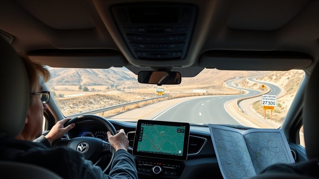
Selecting the right RV trip planner involves identifying features that address the physical realities of operating a heavy, tall vehicle. Unlike passenger cars, motorhomes and travel trailers cannot navigate tight residential switchbacks, low-clearance arched bridges, or roads with strict axle weight caps. Specialized trip planning platforms incorporate physical vehicle parameters directly into their routing algorithms.
When evaluating planning software, look for the following core capabilities:
- Custom Vehicle Profiles: Input exact height, total length, gross vehicle weight rating (GVWR), and propane cylinder counts to filter out impassable roads.
- Gradient and Elevation Warnings: Detailed slope mapping to identify sustained 6%+ grades, enabling drivers to avoid excessive brake wear or transmission overheating according to National Park Service Driving Guidelines.
- Campground Integration and Accessibility: Integrated databases detailing pull-through site lengths, amp service availability, and sanitation dump access.
- Cost and Fuel Calculations: Route-specific fuel consumption modeling based on vehicle aerodynamics, towing load, and current regional diesel or gas averages.
- Multi-Device Cloud Synchronization: Web-based itinerary building on desktop with automatic route export to mobile GPS devices.
Warning: Standard consumer GPS applications do not filter for low bridges, tree canopies, weight-restricted bridges, or propane-restricted tunnels. Never rely entirely on standard car navigation settings when piloting a rig over 10 feet tall or towing heavy loads.
How to Avoid Highways and Tolls in Google Maps
Google Maps offers built-in route modifiers that allow drivers to eliminate toll charges and avoid multi-lane interstate systems. Modifying these parameters forces the algorithm to calculate routes via state highways, secondary thoroughfares, and scenic county roads, showing estimated time differentials for each selection.
Step-by-Step Toll Avoidance
Toll fees on bridges and turnpikes scale significantly based on commercial classification and axle count. To eliminate toll corridors:
- On Desktop: Enter your starting point and destination in Google Maps Route Options. Click Options underneath the destination fields, select the “Avoid Tolls” checkbox, and observe the recalculated route previews.
- On Mobile (Android & iOS): Enter your destination and tap Directions. Tap the three vertical dots (or profile menu) in the upper-right corner, select Options (or Route Options), toggle on “Avoid tolls”, and tap Apply.
Bypassing Interstates and Freeways
Driving a large rig in heavy metropolitan interstate traffic can be demanding. Enabling the “Avoid highways” toggle diverts navigation away from high-speed interstates (such as I-95, I-80, or I-10) toward lower-speed regional routes.
Follow the same navigation settings menu on desktop or mobile and check “Avoid highways.” Google Maps will generate alternate trajectories through smaller towns and rural bypasses, displaying the adjusted estimated time of arrival (ETA) alongside mileage variations.
Evaluating Alternative Route Tradeoffs
When route avoidances are active, Google Maps presents primary and secondary paths highlighted in grey. Before selecting an alternative backroad, review:
- Time Penalty vs. Fuel Economy: Backroads with frequent traffic lights and lower speeds may reduce aerodynamic drag but increase stop-and-go fuel consumption.
- Road Surface Quality: Verify whether alternative routes transition from paved state routes to unpaved county roads, particularly in rural or mountainous areas.
- Turn Radii and Congestion: Secondary routes through historic downtown corridors often present narrow lanes, tight 90-degree intersections, and street parking that complicate RV navigation.
How to Use Scenic Backroads Without Getting Lost
Secondary highways offer scenic views and relaxed travel, but navigating them safely requires structured planning. Maintaining orientation on non-interstate roads depends on choosing established primary corridors and maintaining reliable offline maps.
Balancing Route Types
A well-planned itinerary balances long-distance highway travel with scenic detours. Establish a reliable trunk route and plan designated scenic diversions where roads accommodate larger vehicles.
| Road Selection | Core Benefit | Practical Consideration |
|---|---|---|
| Designated Scenic Byway | Scenic vistas, points of interest, tourist stops | Check clearance on older stone bridges and tunnels |
| US Highway Trunk Route | Reliable wide lanes, lower congestion than interstates | Frequent speed limit drops in small towns |
| Interstate Highway | Standardized bridge heights (14’–16′), rest areas | Tolls, fast commercial traffic, limited scenery |
| County / Forest Road | Direct access to dispersed public land camping | Requires USFS Motor Vehicle Use Maps to verify road base |
Mixing Highways and Backroads Efficiently
To balance travel speed with sightseeing, apply the 3/300 RV Guideline: drive no more than 300 miles or arrive at your campsite by 3:00 PM. Use interstates to navigate around major metropolitan centers, then transition to scenic state routes for the final 50 to 100 miles leading to your campsite.
Save Offline Maps for Cellular Dead Zones
Rural areas and national parks frequently lack cellular data coverage. Without local data caching, Google Maps cannot calculate detours if you depart from your original route.
Pro Tip: Download your offline map zones while connected to high-speed Wi-Fi before departure. In the Google Maps app, tap your profile avatar, select Offline Maps > Select Your Own Map, drag the bounding rectangle over your entire travel corridor, and tap Download.
Plan Multi-Stop RV Routes With MyRouteOnline

Managing routes with multiple overnight stops, fuel stations, and points of interest can lead to backtracking if stop sequences are not optimized. Route planning tools like MyRouteOnline allow users to import lists of destinations, balance driving legs, and determine efficient stop ordering.
| Optimization Feature | Practical Benefit for RV Itineraries |
|---|---|
| Bulk Stop Import | Import addresses directly from spreadsheets without manual re-entry |
| Dwell Time Configuration | Allocates dedicated setup, teardown, and sightseeing time at each destination |
| Turn-by-Turn Export | Transfers optimized stop sequences directly into Google Maps navigation on mobile |
Accounting for dwell time prevents arrival after dark—a critical factor for safe campsite setup and unhitching. Once optimized, multi-stop itineraries can be exported directly to mobile navigation devices for turn-by-turn guidance.
What Google Maps Route Options Actually Change
Understanding the exact mechanics behind Google Maps settings helps avoid unexpected routing issues on the road:
- Avoid Tolls: Reroutes around all managed toll lanes, barrier turnpikes, and toll bridges. When toll-free alternatives involve excessive detours, the app shows the cost differential alongside alternative options.
- Avoid Highways: Excludes limited-access expressways and interstates, prioritizing regional roads, urban boulevards, and rural routes.
- Avoid Ferries: Directs navigation entirely across bridges and land routes, eliminating ferry wait times and multi-axle ferry transport fees.
- Fuel-Efficient Routing: Identifies paths with consistent cruising speeds and shallower gradients to reduce fuel consumption.
“Standard routing engines optimize for passenger car speed and distance; RV navigation requires prioritizing roadway geometry, bridge load capacities, and vertical clearance safety margins.”
When Slower RV Routes Make Sense
Choosing slower secondary roads over interstates provides distinct advantages for specific vehicles and travel styles:
- Lower Aerodynamic Drag: RV fuel efficiency drops sharply above 60–65 mph. Cruising at 45–55 mph on regional highways can reduce overall fuel consumption.
- Reduced Driver Fatigue: Avoiding dense, high-speed multi-lane traffic reduces stress caused by rapid lane changes and sudden congestion.
- Access to Pull-Offs and Vistas: Regional byways offer accessible scenic viewpoints, agricultural stands, and roadside rests that cannot be accessed directly from sound-walled freeways.
- Reduced Mechanical Wear: Moderate speeds lower operating temperatures on trailer tires and reduce strain on transmission components during warm-weather travel.
How to Avoid Roads That Stress You Out

High-stress driving often occurs when large vehicles encounter unexpected road conditions, such as tight urban corridors, construction zones, or severe mountain passes. Proactive planning helps keep your route manageable:
- Inspect Satellite and Street Views: Use high-resolution satellite imagery in Google Maps to examine complex intersections, bridge approaches, and campground entry roads before arriving.
- Review State DOT Advisory Portals: Check local Department of Transportation 511 portals for real-time updates on bridge work, lane closures, and road resurfacing.
- Verify Mountain Pass Clearances: Look for roadway advisories detailing maximum vehicle lengths on tight switchback passes and verify that runaway truck ramps are present on steep descents.
- Establish Fixed Daily Limits: Limit driving shifts to 4–6 hours to maintain focus and allow ample daylight for maneuvering into your site.
Note: In mountainous terrain, avoiding highways can direct vehicles onto narrow mountain roads lacking guardrails, paved shoulders, or clearance for two passing wide-body vehicles. Always check terrain profiles in your planner before bypassing major corridors in alpine regions.
How RV Travelers and Truck Drivers Plan Differently
While both recreational vehicle owners and commercial truck drivers pilot heavy, long-wheelbase vehicles, their routing requirements diverge in key operational areas:
| Routing Factor | RV Travelers | Commercial Truck Drivers |
|---|---|---|
| Regulatory Routing | Classified as non-commercial; exempt from most truck-lane mandates | Subject to strict FHWA Size and Weight Regulations, weigh stations, and designated truck routes |
| Hazardous Materials | Propane cylinders subject to restrictions in specific tunnels (e.g., Baltimore Harbor, Chesapeake Bay) | Strict HAZMAT placards and federally mandated hazmat containment routes |
| Overnight Parking | Campgrounds, RV resorts, state parks, and authorized boondocking sites | Commercial truck stops, dedicated freight plazas, and industrial staging bays |
Track RV Trip Costs Before You Go
An accurate pre-trip budget keeps overall travel expenses manageable. Pre-trip cost tracking involves several core variables:
- Fuel Expenditure: Calculate total distance, divide by your average loaded MPG (typically 7–11 MPG for Class A/Fifth Wheels, 10–15 MPG for Class C/Class B), and multiply by regional fuel averages.
- Toll Projections: Research multi-axle toll classifications on unavoidable bridges or turnpikes using state toll calculators.
- Campground Nightly Fees: Factor in full-hookup campground fees ($40–$100/night) alongside free dispersed camping or public land permits.
- Maintenance & Emergency Reserves: Allocate a safety reserve for tire repairs, fluid top-offs, and unexpected roadside assistance.
Frequently Asked Questions
Can Google Maps route an RV around low-clearance bridges?
No. Google Maps is designed for standard passenger vehicles and does not include low-bridge, weight-limit, or vehicle-height filters. RV drivers should use dedicated RV GPS applications (such as RV LIFE Trip Wizard or Garmin RV units) and cross-reference state DOT clearance directories before traveling on unfamiliar backroads.
What does the “Avoid Ferries” option do in navigation apps?
Enabling “Avoid Ferries” ensures that your GPS routes solely across terrestrial roads and bridges. This prevents unexpected detours to ferry terminals that may charge high multi-axle vehicle rates or have weight and length limits that exclude larger motorhomes.
What defines an optimal RV route?
An optimal RV route balances safe clearance and road-grade parameters with efficient fuel consumption, manageable driving hours (under 300 miles/day), available pull-through fuel access, and planned campsite arrivals well before sunset.
Can AI tools like ChatGPT optimize multi-stop RV routes?
AI tools can generate broad itineraries, suggest attractions, and organize potential stops. However, they lack real-time traffic integration, dynamic GPS tracking, and bridge clearance validation. They should be used strictly for itinerary brainstorming rather than real-time navigation.
Sources
- Google Maps Support — Official documentation on setting route options to avoid tolls, highways, and ferries.
- Federal Highway Administration (FHWA) — Vehicle size, weight, and commercial corridor bridge clearing regulations.
- National Park Service — Large vehicle driving safety, mountain grade management, and park road standards.
- U.S. Forest Service — Motor Vehicle Use Maps (MVUM) and public land access road specifications.
Conclusion
Utilizing route options in Google Maps allows RV travelers to bypass expensive tolls and escape crowded interstates. However, safe and reliable journey planning requires combining these general navigational tools with vehicle-specific clearance databases and multi-stop optimization engines. By setting your map avoidances properly, downloading offline data for remote areas, and verifying bridge heights and road grades prior to departure, you can travel with confidence and enjoy a safer, more predictable road trip.
