

Last Updated on July 28, 2026 by Daniel Globe
Hiking in and near Malibu can mean a short boardwalk above the Pacific, a shaded walk to historic ruins, a seasonal waterfall outing, or a strenuous climb to the highest point in the Santa Monica Mountains. The right choice depends on your fitness, the land manager’s dog rules, parking hours, recent fire or storm closures, and how much exposed terrain you want.
Quick Answer
The best hikes in and near Malibu include Point Dume for an easy coastal walk, Solstice Canyon for ruins and a seasonal waterfall, Corral Canyon for a dog-friendly ocean-view loop, Escondido Falls for a longer waterfall hike, and Sandstone Peak for a strenuous summit. Always check land-manager rules and same-day closures.
Key Takeaways
- Sandstone Peak is the range’s 3,111-foot high point, but its direct trail is a strenuous, exposed outing rather than an easy viewpoint walk.
- The easy Solstice Canyon waterfall-and-ruins route is approximately 2.1 miles round trip; only its first section is paved.
- Dog access depends on the land manager. Many NPS and MRCA trails permit leashed dogs, while most California state-park trails near Malibu do not.
- Parking fees, gate hours, fire restrictions, storm damage, and coastal-access closures can change, so check the official park page on the morning of your hike.
Current Conditions — July 28, 2026: The National Park Service reports that Solstice Canyon Trail is closed Monday through Thursday for repairs. Topanga State Park is open with fire-recovery restrictions, while MRCA lists Carbon Beach West as open but Carbon Beach East and Carbon–La Costa Beach as closed. Recheck these pages because conditions can change without notice.
Disclosure: As an Amazon Associate I earn from qualifying purchases. Some links on this page are affiliate links, at no extra cost to you.
Choose the Right Malibu Hike
Trail names alone can be misleading because some destinations have several possible starting points and loops. The distances below refer to the most common official route where one is published. Treat mileage marked “varies” as a reminder to choose and download your exact route before leaving home.
| Trail | Typical Distance | Difficulty | Dogs | Parking / Manager |
|---|---|---|---|---|
| Point Dume | Short walk; route varies | Easy | No dogs on trails or beach | Limited free upper parking; additional beach parking / California State Parks |
| Solstice Canyon | About 2.1 miles round trip | Easy | Leashed dogs allowed | Free but limited / National Park Service |
| Corral Canyon | About 2.5 miles | Moderate | Leashed dogs allowed | $12 posted fee / MRCA |
| Tuna Canyon | Varies by route | Easy to moderate | Leashed dogs allowed | Limited parking; obey signs / MRCA |
| Sandstone Peak | About 3 miles round trip direct | Moderate to strenuous | Leashed dogs allowed | Free NPS parking / Circle X Ranch |
| Escondido Falls | About 4.2 miles round trip | Moderate | Leashed dogs allowed | $12 Winding Way lot / MRCA |
| Malibu Lagoon | About 0.9 miles round trip | Easy and accessible | No dogs on lagoon trails or beach | State-park parking fee may apply / California State Parks |
| MASH Site | Varies by starting point | Moderate | No dogs on trails | $12 day-use parking / Malibu Creek State Park |
| Eagle Rock or Parker Mesa | Varies; generally longer outings | Moderate to difficult | No dogs beyond designated Los Leones area | Trippet Ranch fee or other approved access / Topanga State Park |
Top Ocean-View Hikes in and Near Malibu
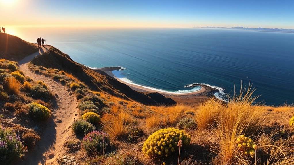
Point Dume Natural Preserve is one of the easiest places to earn a broad coastal view. Its gradual paths, boardwalk, and viewing platform overlook the cliffs and ocean without requiring a long hike. The upper parking area is small, dogs are not allowed on the trails or beach, and the day-use area operates from sunrise to sunset.
Tuna Canyon Park covers a large network of ridges with 360-degree views toward the coast and inland mountains. Route distance depends on the junctions you choose. Some hikers visit an informal stone labyrinth, but it is not presented by MRCA as an official signed destination, so use the posted park map rather than relying on a social-media route.
The Sara Wan Trail at Corral Canyon is a moderate 2.5-mile loop with ocean and mountain views. It is one of the more practical choices for hikers bringing a leashed dog. The trailhead provides restrooms, drinking water, and picnic facilities, and MRCA lists a $12 parking fee.
For a higher and harder objective, Sandstone Peak reaches 3,111 feet, the highest point in the Santa Monica Mountains. The direct Sandstone Peak Trail is approximately 3 miles round trip. A longer loop using the Mishe Mokwa and Backbone trails passes formations and viewpoints such as Echo Cliffs and Balanced Rock, but hikers should follow the current NPS map because junction choices change the total mileage.
At 3,111 feet, Sandstone Peak is the highest point in the Santa Monica Mountains—but the exposed, rocky approach demands more preparation than Malibu’s short coastal walks.
Los Leones Trail can be connected with longer Topanga State Park routes toward Parker Mesa Overlook. This is a more demanding outing than Point Dume or Corral Canyon, and dogs are prohibited after the designated Los Leones day-use section. Check the Topanga State Park status page before choosing the route because fire-recovery restrictions may affect nearby trails and access roads.
Easy and Family-Friendly Malibu Trails
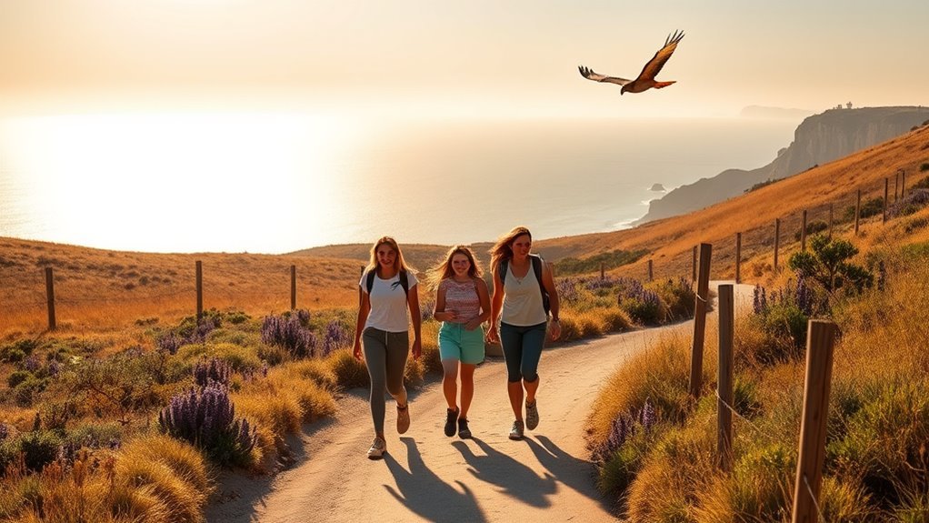
Solstice Canyon is a good family choice when it is open. The standard easy route is approximately 2.1 miles round trip to the Roberts Ranch ruins and a small seasonal waterfall. The first half-mile is paved, but the full route includes ordinary trail surfaces and should not be described as fully stroller-accessible. Parking is limited, and leashed dogs are permitted.
For a more dependable accessible walk, Malibu Lagoon State Beach has an accessible route of approximately 0.46 mile each way, plus accessible picnic and restroom facilities. It is better suited to wheelchairs and many strollers than a canyon dirt trail. Dogs are not allowed on the lagoon trails or beach.
The MASH Site in Malibu Creek State Park follows broad park roads and trails to the former television filming location. California State Parks classifies it as a moderate hike, and the total distance depends on where you begin. The route is not dog-friendly because dogs are prohibited on state-park trails and dirt roads.
Eagle Rock is reached through Topanga State Park, often from Trippet Ranch. The terrain is generally straightforward, but the outing is longer than Malibu Lagoon or Solstice Canyon and should not be grouped with short stroller walks. Tuna Canyon and Corral Canyon can work for active families with older children, although both include uneven dirt surfaces and exposed sections.
| Trail | Best For | Important Limit |
|---|---|---|
| Solstice Canyon | Waterfall, ruins, and a short family hike | Only the first section is paved; check the weekday repair closure |
| Malibu Lagoon | Accessible wildlife and coastal walk | No dogs on trails or beach |
| MASH Site | Television history and a longer park walk | Moderate rather than fully flat; no dogs |
| Eagle Rock | Older children and a longer scenic outing | Topanga restrictions and no dogs on park trails |
| Tuna Canyon / Corral Canyon | Ocean views with leashed dogs | Uneven, exposed dirt trails rather than stroller routes |
Best Malibu Peak Hikes for Sunrise or Sunset
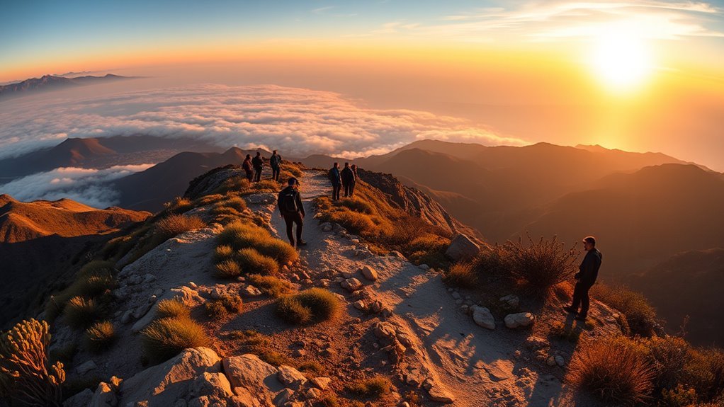
Sandstone Peak provides the highest summit view in the range, but a sunrise attempt requires careful parking planning. NPS trails are generally open around the clock, while many NPS parking lots operate from 8 a.m. to sunset. Confirm that you have a legal parking option before arriving before dawn, and never leave a vehicle where a gate may lock.
Topanga Lookout can be incorporated into routes near the Backbone Trail and Saddle Peak area, but total mileage depends on the chosen starting point. Use an official current map rather than assuming every online “two-mile” route begins at a legal or open parking area.
Mugu Peak offers steep coastal terrain in Point Mugu State Park. The park does not allow dogs on trails, and its day-use areas close at sunset. Plan a golden-hour hike only when you can return to the vehicle before the posted closing time.
Parker Mesa Overlook is another broad coastal viewpoint, but routes from Los Leones or Trippet Ranch are longer and more demanding than the short Point Dume walk. Corral Canyon is the more manageable golden-hour option for many hikers, provided the loop is completed before the trailhead’s posted closing time.
Pro Tip: Carry a headlamp as emergency backup, not as permission to ignore park hours. Start early enough to finish before gates close, bring a warm layer for exposed ridges, and slow down on loose rock when the light begins to fade.
- Sandstone Peak: Choose it for the highest summit and a strenuous, exposed climb.
- Topanga Lookout area: Choose it only after confirming the current legal route, parking location, and fire-recovery restrictions.
- Mugu Peak: Choose it for steep coastal scenery, but return before Point Mugu State Park closes at sunset.
Coastal Walks and Beach-Access Trails
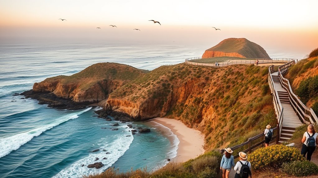
Point Dume and Malibu Lagoon provide the clearest combination of a short walk, coastal scenery, and official public access. Point Dume has cliff views, a boardwalk, and a viewing platform. Malibu Lagoon offers an accessible wildlife walk connecting the lagoon area with the beach.
Carbon Beach access requires a current check rather than a general recommendation. As of July 28, 2026, MRCA lists Carbon Beach West as open while Carbon Beach East and Carbon–La Costa Beach remain closed. Use the MRCA coastal-access page for the latest status and enter only through signed public accessways.
Leo Carrillo State Park adds rocky coves, tide-zone scenery, and beach access. Dogs are permitted in the campground, designated day-use areas, and the section of North Beach north of lifeguard tower 3, but not on backcountry trails or South Beach.
From approximately December through mid-April, overlooks at Point Dume are official gray-whale viewing locations. Bring binoculars and remain behind railings and cliff-edge barriers.
| Trail or Spot | Main Feature | Access Note |
|---|---|---|
| Point Dume | Cliffs, boardwalk, whale watching | No dogs; limited upper parking |
| Malibu Lagoon | Accessible route, birds, and beach access | No dogs on trails or beach |
| Carbon Beach West | Public sandy-shore access | Open on the July 28, 2026 status check |
| Carbon Beach East / Carbon–La Costa | Public coastal accessways | Closed on the July 28, 2026 status check |
| Leo Carrillo | Coves, rocky shore, and beach scenery | Dogs only in specifically designated areas |
Malibu Waterfall Hikes and Historic Sites
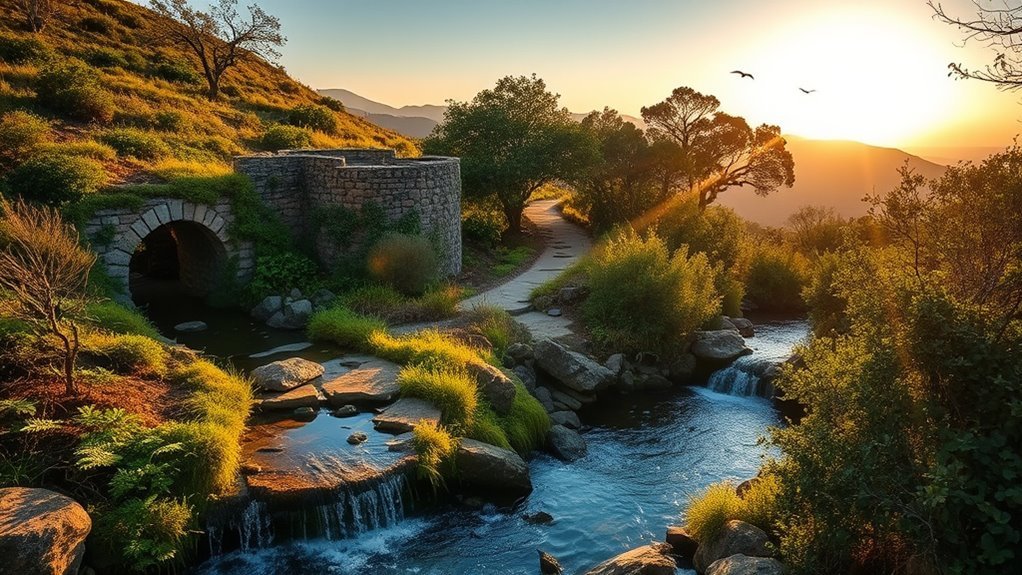
Solstice Canyon combines the stone remains of the Roberts Ranch “Tropical Terrace” property with a small waterfall in one short outing. Water flow depends on recent rain, and the canyon can be busy because parking is limited. Check the NPS repair schedule before driving there.
Escondido Canyon Park has an approximately 4.2-mile round-trip route to the public lower portion of a multi-tiered waterfall system measuring about 150 feet in total. Flow is seasonal and is usually strongest after winter rain. MRCA lists $12 parking at the Winding Way trailhead.
Warning: Public parkland ends at Escondido Falls’ lower tier. The upper falls are not open to the public, and the old scramble route crosses private property and steep, unstable terrain. Stop at the lower tier and return by the same public trail.
Santa Ynez Canyon is a quieter seasonal-water destination within Topanga State Park. Waterfall conditions depend heavily on rainfall, and fire-recovery restrictions may affect access. Do not rely on an old route description without checking the current state-park map, and remember that dogs are not allowed on Topanga State Park trails.
Charmlee Wilderness Park offers more than eight miles of trails through former ranch land, chaparral, and ocean-view terrain. It is open daily from 8 a.m. to sunset when conditions allow, but it closes during Red Flag warnings. The nature center is currently closed.
The MASH Site adds television history to a Malibu Creek State Park hike. The restored bridge has improved access, but the outing remains a moderate park hike rather than a short paved attraction.
- For ruins and a short walk: Choose Solstice Canyon when the trail is open.
- For the larger seasonal waterfall: Choose Escondido Falls after rain and stop at the public lower tier.
- For television history: Choose the MASH Site and allow time for a moderate round trip.
Before You Go: Parking, Permits, Hours, and Safety
At a Glance
| Parking | NPS sites do not charge an entrance fee, but parking is limited. Current posted day-use fees include $12 at Corral Canyon, Escondido Canyon, Malibu Creek, and Point Mugu, and $10 at Topanga State Park’s Trippet Ranch. Confirm posted rates before arrival. |
| Dogs | Leashed dogs are allowed on many NPS and MRCA trails, including Solstice, Corral, Tuna, Sandstone Peak, and Escondido. Dogs are not allowed on trails at Point Dume, Malibu Lagoon, Topanga, Malibu Creek, or Point Mugu. Leo Carrillo permits dogs only in designated areas. |
| Best Season | October through May usually brings cooler hiking weather. Seasonal waterfalls are most likely to flow after winter rain, while summer ridges can be hot, dry, and exposed. |
| Hours | Many city, MRCA, and California state-park day-use areas operate from sunrise or 8 a.m. until sunset. NPS trails may remain open, but NPS parking lots generally operate from 8 a.m. to sunset. Read every gate sign. |
| Permits | Ordinary day hiking generally does not require a trail permit, but parking fees still apply. Overnight camping requires an approved campsite and reservation where offered; do not assume dispersed or continuous Backbone Trail camping is allowed. |
| Watch For | Red Flag closures, storm damage, limited shade, loose rock, rattlesnakes, ticks, poison oak, cliff edges, and inconsistent cell reception. |
What to Bring
- More water than you expect to drink, especially on exposed ridges.
- Sun protection, including a hat, sunscreen, and sunglasses.
- Closed-toe shoes with useful grip.
- An offline trail map or printed map.
- A charged phone and backup battery.
- A light layer for coastal wind and temperature changes.
- A headlamp for emergencies, even when you plan to finish before sunset.
- A basic first-aid kit and any personal medication.
Warning: Do not enter a closed park or trail during a Red Flag warning, wildfire response, storm closure, or repair project. Avoid exposed summit hikes during extreme heat, turn back if weather or footing worsens, and never depend on cell service as your only emergency plan.
Note: Tell someone which trail and trailhead you are using, your expected return time, and what vehicle you parked. Route names such as Parker Mesa, Eagle Rock, and Mugu Peak can have several approaches, so share the exact downloaded route rather than only the destination name.
Frequently Asked Questions
Are dogs allowed on Malibu hiking trails?
It depends on the land manager. Leashed dogs are permitted on many National Park Service and MRCA trails, including Solstice Canyon, Corral Canyon, Tuna Canyon, Sandstone Peak, and Escondido Canyon. California state parks generally prohibit dogs on trails, including Point Dume, Malibu Lagoon, Topanga, Malibu Creek, and Point Mugu. Leo Carrillo allows dogs only in specified campground, day-use, and North Beach areas.
Do I need a permit or pay a fee for a Malibu day hike?
Most ordinary day hikes do not require a separate trail permit. NPS sites do not charge an entrance fee, but other agencies charge for parking. Current posted examples include $12 at Corral Canyon, Escondido Canyon, Malibu Creek, and Point Mugu, plus $10 at Topanga State Park’s Trippet Ranch. Fees can change, so check the official page and trailhead signs.
What permits or fees are required for overnight camping nearby?
Use an established campground and make an advance reservation when required. Circle X Ranch is the National Park Service campground in the recreation area, while California state parks operate additional campgrounds with their own fees and rules. Continuous camping along the full Backbone Trail is limited, so do not plan a through-hike around unofficial overnight sites.
When are Malibu trails typically closed?
Trails may close during Red Flag fire-weather warnings, active wildfire operations, heavy storms, flood or erosion damage, habitat work, or trail repairs. Closures can begin with little notice. Check the responsible agency’s alert page on the morning of the hike rather than relying on an older route guide.
Where can I find restrooms and drinking water?
Facilities vary. Circle X Ranch, Corral Canyon, Malibu Lagoon, Malibu Creek State Park, and several state-park day-use areas have restrooms. Solstice Canyon has a restroom near the beginning of the trail and drinking fountains, while Escondido Canyon has no restroom beyond the Pacific Coast Highway parking area. Carry all the water you need because fountains can be unavailable or out of service.
Which Malibu trails have reliable cell phone reception?
No mountain trail should be treated as having reliable reception. A signal may appear on open ridges and disappear in canyons or behind rock formations. Download an offline map, share your route and return time, and carry a satellite communicator when your route, group, or risk level makes one appropriate.
Which Malibu walk is best for a stroller or wheelchair?
Malibu Lagoon has an official accessible route and accessible facilities, making it the clearest choice in this guide. Point Dume also has a gradual path, boardwalk, and viewing platform. Solstice Canyon is easy, but only approximately its first half-mile is paved, so the entire waterfall-and-ruins route is not fully accessible.
Conclusion
Malibu’s trail network offers far more than one type of hike. Point Dume and Malibu Lagoon suit short coastal walks, Solstice Canyon pairs ruins with an easy outing when open, Corral Canyon provides a dog-friendly loop, Escondido Falls offers a longer seasonal-waterfall route, and Sandstone Peak delivers the region’s highest summit.
Choose by difficulty and trail rules rather than scenery alone. Confirm the land manager, current closure status, parking fee, gate hours, dog policy, and exact route before leaving. That final check is especially important after wildfire, heavy rain, or repair work in the Santa Monica Mountains.
Sources
- Santa Monica Mountains National Recreation Area — Current Conditions — active closures, repairs, and visitor alerts
- National Park Service — Solstice Canyon — route length, accessibility, facilities, parking, and dog rules
- National Park Service — Circle X Ranch — Sandstone Peak elevation, trail access, facilities, and reception guidance
- MRCA — Escondido Canyon Park — route length, waterfall access, private-property boundary, parking, and dog policy
- MRCA — Coastal Access — current Carbon Beach and Malibu coastal-access status
- California State Parks — Topanga State Park — current restrictions, hours, fees, trails, and dog rules
