
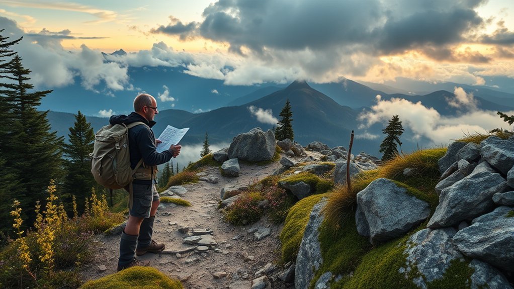
Last Updated on September 11, 2026 by Daniel Globe
Finding hidden hiking gems is less about chasing secret coordinates and more about combining official maps, current forecasts, trail apps, recent reports, and local knowledge. The best lesser-known hikes are legal, open to the public, suitable for your ability, and backed by a clear navigation and safety plan.
Quick Answer
To find hidden hiking trails, start with official park or forest maps, then use AllTrails filters, topographic maps, search results, local groups, and recent reports to identify quieter options. Before going, verify public access, permits, closures, weather, and route conditions. Download an offline map and share a trip plan.
Key Takeaways
- Use apps and social posts to discover possibilities, not to prove that a route is legal or safe.
- Confirm access, permits, closures, parking, and restrictions with the responsible land manager.
- Compare recent reports with topographic maps, weather forecasts, and your own experience level.
- Carry offline navigation, emergency gear, and a backup plan on lightly traveled routes.
At a Glance
| Time Required | About 20–45 minutes of research before a day hike; longer for remote or overnight routes |
| Difficulty | Easy to moderate research; route difficulty depends on terrain, distance, elevation, navigation, and conditions |
| Tools Needed | Official land-manager map, trail app, topographic or terrain map, weather forecast, offline navigation, and emergency gear |
| Cost | Research can be free; optional app subscriptions, parking fees, passes, or permits may apply |
Disclosure: As an Amazon Associate I earn from qualifying purchases. Some links on this page are affiliate links, at no extra cost to you.
Why Lesser-Known Trails Are Worth Exploring
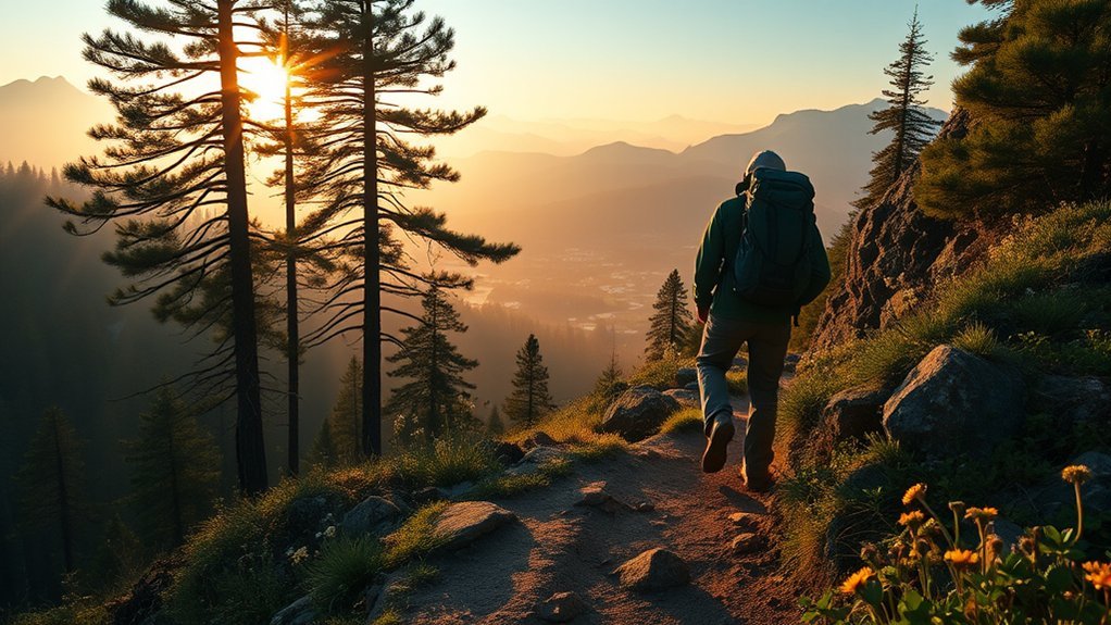
Lesser-known trails can offer more quiet, slower pacing, and room to enjoy the landscape without waiting at a crowded viewpoint. You may also notice birds, animal tracks, plants, and small landscape details that are easy to miss when a trail is busy.
However, “hidden” should not mean closed, private, abandoned, or unsafe. A good hidden gem is usually an established route that receives less attention than nearby headline hikes. It still needs a legal trailhead, confirmed public access, and conditions that match your skills.
Note: A trail’s popularity does not determine whether a permit, reservation, entrance pass, or parking fee is required. Always check the responsible land manager before leaving home.
The safest hidden hike is not the one with the fewest online mentions. It is the quiet route whose access, conditions, and navigation you have fully verified.
Find Hidden Hikes With AllTrails and Official Maps
1. Start With the Official Land Manager
First, identify who manages the land. It may be a national park, national forest, wildlife refuge, state park, county preserve, tribal authority, municipal open-space agency, or private conservation group.
Open the manager’s official website and look for:
- Current trail maps and trail descriptions
- Closures, alerts, fire restrictions, or seasonal gates
- Permit, pass, reservation, or fee requirements
- Parking rules and legal trailhead access
- Rules for dogs, bicycles, camping, fires, drones, and group size
- Ranger-station or visitor-center contact details
The U.S. Forest Service trail guidance, for example, tells visitors to check closures, weather, fire restrictions, reservations, and permits before using National Forest System trails.
2. Use AllTrails to Build a Shortlist
AllTrails lists more than 500,000 trail guides and routes. Rather than opening only the highest-rated hikes, use the platform’s filters and map view to look beyond the first results.
You can narrow options by factors such as:
- Difficulty and length
- Elevation gain and route type
- Waterfalls, forests, lakes, views, or wildflowers
- Suitability for dogs, children, wheelchairs, or other needs
- Activity type and trail rating
The official AllTrails filter guide explains the available search controls. Try zooming away from the best-known park entrance or removing one restrictive filter to reveal nearby alternatives.
Read recent reviews for mud, snow, washouts, insects, water availability, confusing junctions, road access, or parking problems. Give more weight to detailed reports with a recent date than to a short rating from years ago.
Pro Tip: Search for a popular hike, then inspect the surrounding map for official trails with similar scenery, lower review counts, or trailheads farther from the main entrance. Verify every alternative on the land manager’s map.
3. Compare Topographic and Terrain Maps
Use a topographic map to understand elevation, slope, ridges, valleys, drainages, cliffs, and possible water crossings. The USGS topographic-map program provides official mapping resources, while the Google Maps terrain layer can display contour lines and elevation information.
Compare at least two maps when a route is remote. Check whether the trail line, junctions, and trailhead agree. Satellite imagery can help you notice tree cover, exposed terrain, roads, or large water features, but it cannot confirm that a route is legal or safely passable.
Warning: Never assume that a faint line, old road, social-media track, or apparent map connector is a public hiking trail. It may cross private property, enter a closed area, end at dangerous terrain, or no longer exist.
Use Google, Reddit, and Pinterest for Research
Search engines and community platforms are useful for finding names and leads that do not appear in a standard “best hikes” list. Use specific searches such as:
- [region] quiet hiking trails
- [park name] lesser-known hikes
- [county] public hiking trail map PDF
- [trail name] conditions July 2026
- [forest name] closures permits hiking
- site:reddit.com [region] hiking trail
Reddit discussions can reveal recent road problems, confusing turns, seasonal hazards, and local alternatives. Pinterest can help you collect ideas by landscape or trip style. Neither platform should be your final source for access, distance, difficulty, or regulations.
When reviewing informal information, ask:
- When was the post published or last updated?
- Does it name an official trail and trailhead?
- Does the route appear on the current land-manager map?
- Do multiple independent reports agree?
- Could the post describe an old, unofficial, or private route?
- Are the writer’s experience and conditions comparable to yours?
Use Instagram and Local Knowledge Responsibly
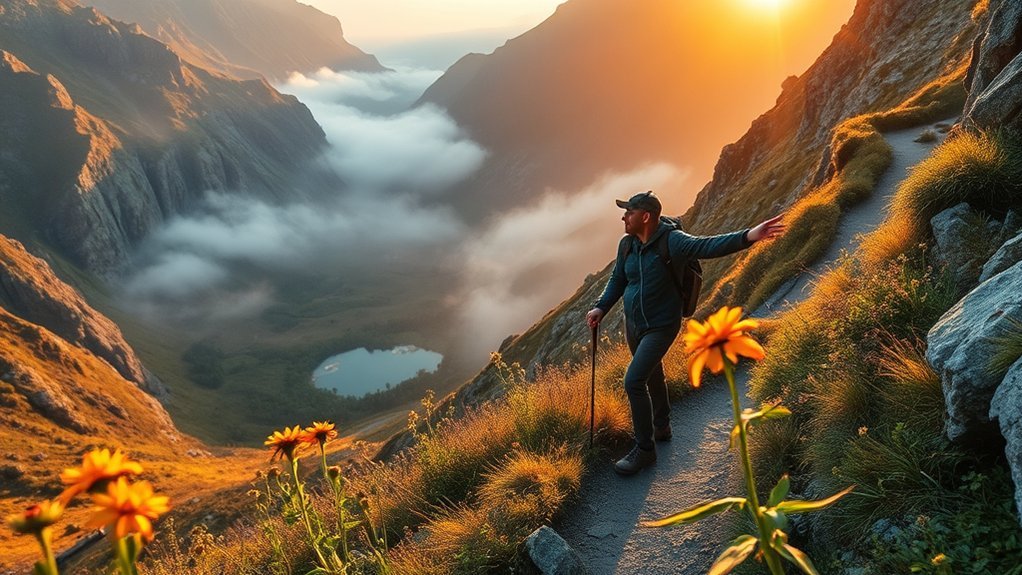
Instagram photos can help identify a general valley, park, ridge, or season worth researching. Search regional geotags and broad hashtags, then use the scenery only as a clue. A post may hide the exact route, use an old photograph, misidentify the location, or show a place reached through private or restricted land.
When contacting a photographer, ask general questions about the official trail, difficulty, season, and land manager. Do not pressure someone to reveal exact coordinates for fragile waterfalls, archaeological sites, nesting areas, rare plants, swimming holes, or other sensitive places.
The Leave No Trace social-media guidance recommends thoughtful sharing and adding information that helps visitors research safety, history, culture, and responsible behavior.
Local outdoor shops, visitor centers, lodging hosts, hiking clubs, and rangers can also suggest quieter established routes. Ask questions such as:
- Which official trails are usually less busy?
- Are any trailheads difficult to reach or easy to miss?
- Which routes hold snow, flood, or become muddy?
- Are there current closures, hunting seasons, or fire restrictions?
- Which trail offers similar scenery to the crowded main route?
Verify Access, Permits, and Trail Status
Before adding a route to your final plan, confirm each item below through an official source:
- Public access: The trail and approach road are open to the public.
- Trail status: The route is open and not affected by construction, wildfire, flooding, storm damage, or habitat protection.
- Permits and passes: You have every required day-use, wilderness, parking, entrance, or camping permit.
- Trailhead: Parking is legal, the road suits your vehicle, and seasonal gates are open.
- Activity rules: Your dog, bicycle, camp, fire, or group is allowed.
- Route details: Distance, elevation, expected time, water sources, and junctions are reasonably consistent across sources.
If the website is unclear, call the ranger station, visitor center, or land office. A brief official answer is more reliable than an old post that says a gate “should” be open.
Check the Forecast and Current Conditions
A trail can change quickly because of heat, lightning, snow, smoke, high water, wind, rockfall, or a damaged access road. Check the forecast for the trail’s elevation and location rather than relying only on weather for the nearest city.
Review:
- The National Weather Service forecast and hazard alerts
- Official park or forest alerts
- Recent trail-condition reports
- Wildfire, smoke, flood, avalanche, or river information when relevant
- Sunrise and sunset times
AllTrails condition information and recent reviews can add useful context, but official alerts should control your decision when sources disagree.
Warning: If you hear thunder, leave exposed peaks and ridges and seek a substantial building or hard-topped vehicle when one is reachable. A tent, isolated tree, rocky overhang, or open summit is not safe lightning shelter. Review the National Weather Service outdoor lightning guidance before mountain hikes.
Stay Safe on Remote Hikes
Quieter routes may have fewer people available to notice an injury, navigation mistake, or overdue hiker. Prepare as though you may need to solve a minor problem without immediate help.
Share a Trip Plan
Give a trusted person who is not joining the hike:
- The trail name, land-management area, and planned route
- Your trailhead and vehicle description
- The names and contact details of group members
- Your start time, turnaround time, and expected return time
- The number to call if you become overdue
The National Park Service Trip Planning Guide provides a structured way to record these details. Contact your trusted person as soon as you return.
Carry Reliable Navigation
Download the route and surrounding map before leaving service. Charge your phone or GPS and carry extra power. On remote or poorly marked routes, also carry a physical map and compass and know how to use them.
Mark the trailhead, major junctions, water crossings, bail-out routes, and turnaround point. Do not follow a digital line blindly when signs, terrain, closures, or official maps show something different.
Pack the Ten Essentials
The National Park Service Ten Essentials are organized into these systems:
- Navigation
- Sun protection
- Insulation
- Illumination
- First aid
- Fire
- Repair kit and tools
- Nutrition
- Hydration
- Emergency shelter
Adjust the contents for the trail, season, group, remoteness, and expected hazards. Carry more water, food, insulation, or emergency equipment when conditions demand it.
Set a Turnaround Time
Choose a time when you will turn around even if you have not reached the destination. Include enough daylight and energy for the return trip. Turn back sooner when the route is unclear, the weather worsens, water runs low, someone becomes unwell, or progress is much slower than planned.
Prepare for Local Wildlife
Research the species present and follow the destination’s rules for food storage, pets, bear spray, and minimum viewing distances. Never feed or approach wildlife. If an animal changes its behavior because of you, increase your distance.
Response advice differs for bears, mountain lions, moose, bison, snakes, and other animals. Learn the correct local procedure before entering their habitat rather than relying on one general reaction.
What to Do if the Route Disappears
Stop as soon as you are uncertain. Do not continue downhill, follow footprints, or push through vegetation in the hope of finding the trail again.
- Check your last confirmed location.
- Compare your offline map, physical map, terrain, and compass.
- Backtrack to the last known trail marker or junction when safe.
- Avoid creating a new path or entering closed terrain.
- Use your emergency communication plan if you cannot safely recover the route.
Leave No Trace on Lesser-Known Trails
Lightly visited routes can be more vulnerable to damage because they may have narrow tread, little maintenance, sensitive vegetation, or limited sanitation facilities. Keep the trail worth visiting:
- Stay on durable, established surfaces where required.
- Do not cut switchbacks or create shortcuts.
- Pack out food scraps, tissues, and all other waste.
- Follow local rules for human waste and water protection.
- Leave rocks, plants, artifacts, and natural objects in place.
- Keep voices and music low.
- Do not build cairns or add unofficial markers.
- Share sensitive locations thoughtfully.
Do not treat a lightly visited site as ownerless. Respect closures, private boundaries, tribal lands, cultural sites, wildlife habitat, and requests from local communities.
Frequently Asked Questions
What Is the 20% Rule for Backpacking?
The 20% rule is a general starting guideline suggesting that a loaded backpacking pack stay near or below 20% of your body weight. It is not a strict safety limit. Body size, pack fit, trip length, water needs, weather, and medical needs matter. Never remove essential safety equipment merely to meet the percentage.
What Is the Three-Layer Rule for Hiking?
The three-layer system uses a moisture-wicking base layer, an insulating middle layer, and an outer shell that blocks wind and rain. You may not wear all three at once, but carrying suitable layers lets you adjust when temperature, wind, precipitation, or activity level changes.
What Are the Ten Hiking Essentials?
The Ten Essentials are navigation, sun protection, insulation, illumination, first aid, fire, repair tools, nutrition, hydration, and emergency shelter. The exact items within each category should match the route, weather, season, group, and length of the hike.
Why Do Hikers Eat Gummy Bears?
Gummy bears are light, easy to chew, and provide fast-digesting carbohydrates, so some hikers use them for quick energy or morale. They should not be your only trail food. Carry enough water and combine sugary snacks with foods that provide longer-lasting energy and other nutrients.
Can I Trust a Hidden Trail Shown on Social Media?
No social-media post should be treated as proof of access or safety. Confirm the trail through the official land manager, check current closures and permits, and compare the route with a current map. Photos and captions may be old, incomplete, misidentified, or taken from private or restricted land.
How Can I Tell Whether a Trail Is Legal and Open?
Find the agency or landowner responsible for the area and check its current map, alerts, regulations, and permit page. Confirm the trailhead and approach road as well as the trail itself. Contact the ranger station or land office when the official information is unclear.
What Should I Do When Two Trail Maps Disagree?
Give priority to the current map and alerts published by the land manager. Check the publication date, compare junctions and trailheads, and contact the managing office if the difference affects access or safety. On the trail, stop and backtrack when you cannot confirm the route rather than following an uncertain line.
Conclusion
The best hidden hiking gems are not unverified shortcuts or closely guarded coordinates. They are quieter, legal routes found through careful research. Use trail apps, topographic maps, search results, social posts, and local tips to build ideas, but let official maps, regulations, alerts, and forecasts guide your final decision.
Download your route, pack the Ten Essentials, share a trip plan, and be willing to turn around. That approach gives you the quiet adventure you want without risking trespass, avoidable emergencies, or damage to the place you came to enjoy.
Sources
- AllTrails: How to Use Filters to Find Trails — trail-search and filtering features
- U.S. Geological Survey: Topographic Maps — official topographic mapping resources
- U.S. Forest Service: National Forest System Trails — permit, closure, condition, and responsible-recreation checks
- National Park Service: Ten Essentials and Trip Planning Guide — equipment, navigation, and trip-plan guidance
- National Weather Service: Outdoor Lightning Safety — thunderstorm and exposed-terrain safety
- Leave No Trace: Social Media Guidance — responsible location sharing and outdoor stewardship
