
Last Updated on August 26, 2026 by Ethan Caldwell
The best driving route is not always the shortest one. A good route also considers traffic, tolls, road type, weather, stops, vehicle restrictions, and whether you want speed, scenery, or lower costs. Before leaving, compare route options, check current conditions, set your navigation preferences, and download offline maps for areas where mobile service may be weak.
Quick Answer
Choose the best route by comparing travel time, traffic, tolls, road type, stops, and vehicle limits before you leave. Google Maps works well for everyday driving, Waze is useful for live driver reports, and a dedicated route optimizer can help with many stops. Download offline maps and always follow posted road signs.
Key Takeaways
- Compare several routes instead of automatically choosing the shortest distance.
- Use route options to avoid tolls, highways, or ferries when those choices make sense for your trip.
- Check traffic, closures, construction, and weather shortly before departure.
- Use a multi-stop optimizer when you have more stops than you want to arrange manually.
- Download offline maps before entering weak-signal areas, but remember that offline Google Maps has important limitations.
- Drivers of trucks, buses, RVs, or other large vehicles should use routing designed for their vehicle and obey all posted restrictions.
At a Glance
| Time Required | About 5–15 minutes for a normal trip; longer for complex road trips or many stops |
| Difficulty | Easy |
| Tools Needed | Navigation app, destination list, and optionally a multi-stop route optimizer |
| Cost | Basic navigation is usually free; tolls, mobile data, fuel, and premium route-planning services may add costs |
Disclosure: As an Amazon Associate I earn from qualifying purchases. Some links on this page are affiliate links, at no extra cost to you.
Choose the Best Route for Your Trip
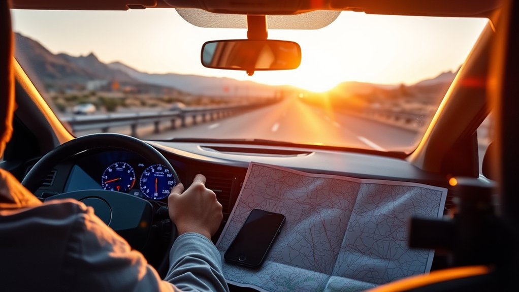
Choosing the best route starts with deciding what matters most. For a work appointment, arrival time may be the priority. On a road trip, you may prefer scenery and interesting stops. On a long drive, fuel, charging, tolls, rest areas, road conditions, and vehicle restrictions may matter just as much as the estimated travel time.
Google Maps can show several route choices and estimated travel times. If multiple routes are available, compare them before starting instead of automatically accepting the first suggestion. You can also change the planned departure or arrival time for certain routes so the estimate reflects expected traffic conditions.
For multi-stop travel, you can manually add and reorder stops in Google Maps. Google’s current Android documentation allows up to nine stops including the final destination. If you have a larger list or want software to determine a more efficient stop order automatically, a dedicated service such as MyRouteOnline may be more practical.
Pro Tip: Before comparing routes, decide whether your priority is fastest arrival, lowest toll cost, shortest distance, easier roads, scenery, or the most efficient order of multiple stops. The “best” route changes with the goal.
Plan Your Route Step by Step
- Enter the correct destination. Confirm the city, street, entrance, parking location, or trailhead before starting.
- Compare alternative routes. Look at travel time, distance, road type, tolls, and known congestion.
- Set route preferences. Turn on options such as avoiding tolls or highways only when they support your trip goals.
- Check the departure time. A route that looks fast now may be much slower during the local commute period.
- Add necessary stops. Include fuel, charging, food, rest areas, pickups, deliveries, or attractions.
- Review closures and weather. Construction, storms, flooding, snow, wildfires, and special events can change the safest route.
- Download offline maps when needed. Do this before entering an area where cellular coverage may be weak.
- Confirm vehicle restrictions. Large or commercial vehicles require more than ordinary passenger-car routing.
Avoid Tolls and Highways in Google Maps
Google Maps provides route options that can help you avoid toll roads, highways, or ferries. Menu names can vary slightly by device and app version, but the usual process is to open directions for your destination, select driving mode, open Options or Route options, and enable the avoidance settings you want.
- Open Google Maps and search for your destination.
- Tap or click Directions and select driving mode.
- Open Options or Route options.
- Enable Avoid tolls, Avoid highways, or another available preference.
- Return to the route overview and compare the alternatives and estimated travel times.
- Before starting, check whether avoiding a toll or highway creates a major detour.
Google Maps may also display estimated toll prices on supported routes in certain cities. Treat those numbers as estimates rather than guaranteed charges. Google notes that actual toll-operator prices and road signs remain authoritative, and some congestion-priced roads or lanes may not have a calculated toll price.
Note: “Avoid tolls” and “avoid highways” are preferences, not promises that the resulting route will be shorter, faster, or easier. Always compare the new route before committing to it.
Find Scenic Roads That Still Save Time
You can balance scenery and speed by comparing alternate routes and measuring the actual time difference. Google Maps does not provide a universal “scenic route” button, so scenic planning usually requires reviewing alternative roads and deliberately adding viewpoints, parks, historic areas, small towns, or other stops.
A scenic route works best when the added distance is reasonable and road conditions suit your vehicle and driving experience. Mountain passes, narrow roads, gravel sections, seasonal closures, and remote areas may require more preparation than a normal highway route.
Balance Scenery And Speed
Balancing scenery and speed means using major roads where they save meaningful time while choosing scenic backroads where the detour adds value. Compare the estimated arrival time before and after adding a scenic stop. A beautiful road may be worthwhile on a relaxed trip but a poor choice when weather is deteriorating or you have a fixed appointment.
- Look for viewpoints, parks, historic districts, nature areas, or small towns that fit naturally along the route.
- Add important stops to your navigation so you can see their true effect on travel time.
- Check road conditions and seasonal closures before committing to remote or mountainous roads.
- Download the relevant map area when cellular service may be limited.
Mix Highways With Backroads
Mixing highways with backroads can keep a trip efficient while adding scenic variety. Highways are often useful for covering long distances quickly, while shorter backroad sections can provide access to local restaurants, overlooks, historic sites, trails, and towns that a freeway bypasses.
Do not assume a backroad will save time simply because it avoids urban traffic. Lower speed limits, traffic lights, farm equipment, school zones, curves, construction, or difficult intersections can erase the apparent advantage. Compare the complete route rather than only the mileage.
Plan Detours Strategically
When a detour looks interesting, check how much time and distance it actually adds before changing your route.
- Compare travel times: measure the original route against the detour.
- Check access: confirm that the road is open and appropriate for your vehicle.
- Add useful stops: combine viewpoints, meals, fuel, charging, and rest breaks when possible.
- Keep a backup: know how to return to a major road if weather or road conditions change.
Build Multi-Stop Routes With Myrouteonline
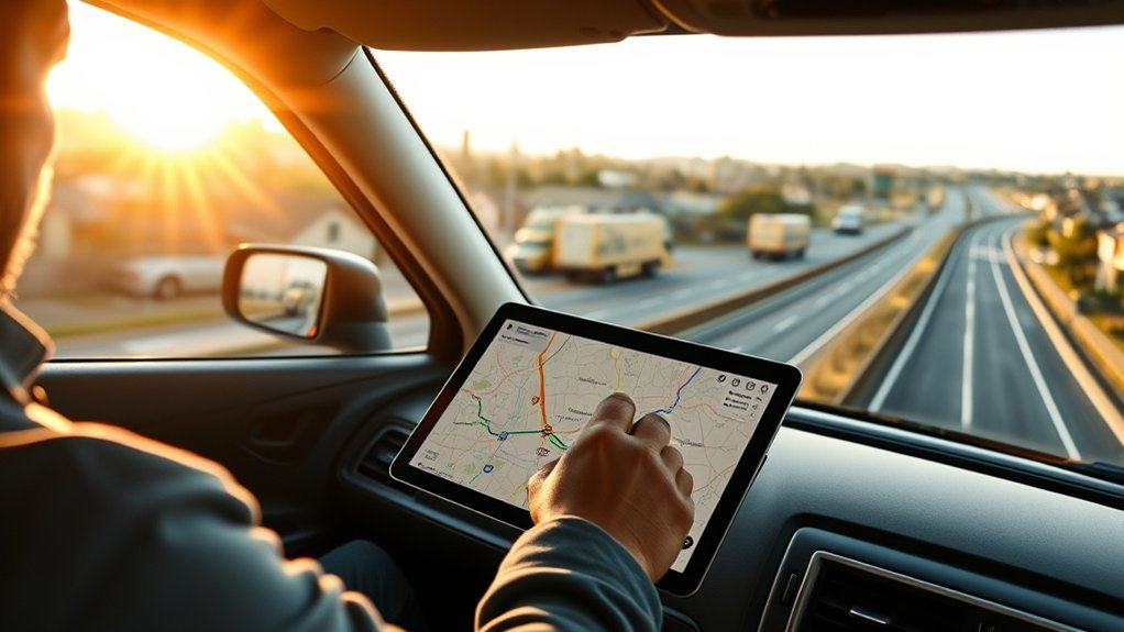
MyRouteOnline is designed for trips with many stops. You can enter addresses manually or import data from Excel, CSV, Google Drive, or other supported sources, then optimize the stop sequence according to goals such as distance or time.
The service currently offers limited free planning and a 20-credit trial for registered users, but its terms state that some saving, exporting, and emailing functions are not included in the free version. Paid plans provide broader importing, exporting, saving, and route-management features. Because pricing and plan limits can change, check the current plan before relying on a particular export function.
MyRouteOnline supports several travel modes, including driving, bicycling, walking, and commercial truck routing on supported plans. You can also include service time and other constraints when planning stops. After optimization, supported export options can send routes to navigation tools including Google Maps or dedicated GPS systems.
Google Maps vs. Waze vs. MyRouteOnline
| Tool | Best For | Important Limitation |
| Google Maps | Everyday driving, alternate routes, traffic-aware estimates, toll/highway preferences, and a modest number of stops | Standard driving routes are designed for cars, not full commercial-vehicle restriction management |
| Waze | Live driving, community traffic reports, hazards, and reported closures | Requires a data connection for full functionality and should not be treated as commercial-truck routing |
| MyRouteOnline | Optimizing many stops, delivery/service routes, imported address lists, and route constraints | Some features, including certain export and commercial-routing tools, require paid access |
Plan Ahead to Avoid Traffic Jams
You can reduce the chance of sitting in heavy traffic by checking your route shortly before departure and comparing alternative departure times. Traffic patterns vary dramatically by location, so there is no single rush-hour schedule that applies everywhere.
Use current navigation data, local transportation alerts, weather reports, and construction information when the timing matters. A route that is normally reliable may change because of a crash, sporting event, school traffic, roadwork, flooding, or another temporary condition.
Peak Hour Awareness
Many cities experience heavier weekday traffic during morning and evening commuting periods, often roughly around the hours before and after the traditional workday. Treat ranges such as 7–9 AM or 4–6 PM only as starting points, not universal rules.
- Check your specific route at the time you expect to travel.
- Compare leaving earlier or later when your schedule is flexible.
- Watch recurring bottlenecks such as bridges, tunnels, school areas, downtown approaches, and major interchanges.
Leaving outside the busiest period can reduce stop-and-go driving, but the actual time saved depends on the road and current conditions.
Route Check Ahead
Checking your route ahead of time can reveal congestion, construction, closures, or unusual delays before they affect your trip. Google Maps can show alternate routes and traffic-aware travel estimates, while Waze uses live and historical information plus community reports to help drivers understand current conditions.
For an important trip, check once when planning and again shortly before departure. If severe weather or a major closure is possible, also review information from the relevant transportation agency or emergency authority.
Use Live Traffic Apps on the Go
Google Maps and Waze can both provide traffic-aware navigation while you drive. Waze also accepts community reports for traffic, hazards, construction, and other road conditions. Reported closures can affect Waze routing, while other incident reports may primarily provide alerts rather than automatically force a route change.
- Review the route and important settings before moving the vehicle.
- Use voice guidance or safe hands-free controls where permitted.
- If the app suggests a new route, consider the time difference and road type before accepting it.
- Never follow an app instruction that conflicts with a road sign, barricade, police direction, or legal restriction.
Warning: Do not type destinations, rearrange stops, or study alternate routes while driving. Navigation-system interaction can distract you from the road. Set up the trip before departure or pull over safely before making changes.
Travel During Off-Peak Hours
When your schedule is flexible, traveling outside the busiest local commute periods can make a trip smoother. Mid-morning, early afternoon, early morning, or later evening may work well in some places, but local traffic patterns should guide the decision.
Peak Traffic Times
There is no universal peak-traffic schedule. Weekday mornings and late afternoons are commonly busy in many metropolitan areas, while tourist destinations may experience heavier weekend traffic. Special events, school schedules, seasonal travel, and weather can also create unusual congestion.
- Check the expected travel time for your planned departure.
- Compare at least one earlier and one later departure when possible.
- Pay attention to recurring bottlenecks instead of relying only on a generic rush-hour rule.
Early And Late Departures
Leaving early in the morning or later in the evening may reduce traffic on some routes. These times can also introduce different risks, including darkness, fatigue, wildlife, reduced services, or severe weather. Choose the departure time that gives you a reasonable balance of traffic, visibility, rest, and safety.
Off-Peak Route Benefits
When traffic is lighter, you may experience fewer stop-and-go sections, more predictable arrival times, and smoother fuel or energy use. The size of the benefit varies by route, so use current traffic estimates instead of assuming a fixed percentage of time or fuel savings.
- Less congestion: fewer vehicles may reduce stop-and-go delays.
- More predictable timing: travel times may fluctuate less outside major commute periods.
- Smoother driving: steadier speeds can make a long trip less tiring.
Download Offline Maps Before You Leave

Before traveling through an area with weak or unreliable cellular service, download an offline map in Google Maps. On a phone or tablet, you can search for a place and choose the offline-map download option, or open your profile menu, select Offline maps, choose your own map area, and download it.
Update downloaded areas before departure so the saved map contains the latest available information. Google Maps can also automatically update expiring offline maps when the required settings and connection are available.
Offline maps have important limits. Driving navigation can work when the entire route is contained within the downloaded area, but when you are offline you do not receive live traffic information or alternate driving routes. Offline public-transit, cycling, and walking directions are also unavailable.
Note: Download enough map area to cover both your planned route and reasonable detours. A tiny download around the destination may not help if the connection disappears much earlier in the trip.
Choose Scenic, Fast, or Low-Cost Routes
Different trips call for different route priorities. A fast route may use major highways and toll roads. A low-cost route may avoid tolls but add distance or fuel use. A scenic route may trade travel time for better views and interesting stops.
- Choose scenic when the journey is part of the experience and you have enough daylight and schedule flexibility.
- Choose fast when arrival time matters most and the recommended road is suitable for your vehicle.
- Choose low-cost by comparing toll savings with any extra distance, fuel, charging, or travel time.
Do not judge cost by tolls alone. A toll-free route that adds significant mileage may cost more in fuel or electricity and may take considerably longer. Compare the entire trip before deciding.
Pick the Right Routing Tool for Your Vehicle
The navigation tool should match the vehicle. Standard Google Maps driving routes are designed primarily for cars. That is usually appropriate for normal passenger vehicles, but it is not enough for every truck, bus, RV, trailer, or oversized vehicle.
Commercial-vehicle routing can need information about height, weight, width, axle limits, hazardous-material restrictions, and roads where certain vehicles are prohibited. The Federal Motor Carrier Safety Administration warns that consumer navigation systems may not provide all of these restrictions and recommends commercial drivers use navigation intended for trucks or buses.
Some dedicated route-planning products offer truck-routing modes that account for size and weight restrictions. Even then, navigation is only an aid. Posted bridge-clearance signs, weight limits, detours, traffic-control devices, and instructions from authorities take priority.
For an RV or trailer, also consider road width, sharp turns, steep grades, campground access, propane restrictions, tunnel rules, and whether the destination has enough turning or parking space. Verify critical restrictions with the road authority or destination when a mistake could leave you unable to turn around safely.
Do a Final Check Before You Drive
- Confirm the destination and parking or entrance location.
- Check current traffic, road closures, construction, and weather.
- Review toll and highway preferences.
- Make sure fuel or battery range is adequate.
- Add planned rest, food, fuel, or charging stops.
- Download any offline map areas you may need.
- Confirm vehicle-specific restrictions for trucks, buses, RVs, or trailers.
- Mount or connect the navigation device before moving.
- Follow real road signs and official instructions even when the app says something different.
Frequently Asked Questions
How Do I Turn off Preferred Routes?
Open your navigation or route settings and review options such as avoiding tolls, highways, or ferries. Turn off any preference you no longer want, then recalculate the route. Menu names can vary by Google Maps version and device.
Can ChatGPT Optimize Routes?
ChatGPT can help you compare route-planning strategies, organize stops, estimate what factors to consider, or prepare an itinerary from information you provide. It should not replace a live navigation or commercial routing system for real-time traffic, road closures, legal restrictions, or turn-by-turn driving.
Is Waze or Google Maps Better at Avoiding Traffic?
Neither is always better. Waze emphasizes live community reports and driving-focused alerts, while Google Maps combines traffic-aware routing with broader map, place, and transportation features. Try both in your area if traffic avoidance is especially important because performance can vary by location and road network.
What’s the Hardest Route to Defend?
“Hardest route to defend” is not a standard navigation term. If you mean the hardest driving route to manage, it is usually one with several changing risks at once, such as dense traffic, construction, poor weather, narrow roads, unfamiliar intersections, or vehicle restrictions. In those conditions, choose the simpler legal route even if it is slightly longer.
Does Google Maps Work Without Mobile Data?
Yes, for downloaded areas. Offline driving navigation can work when the entire route is inside the downloaded map. However, you will not receive live traffic or alternate routes while offline, and offline transit, walking, and cycling directions are unavailable.
How Many Stops Can I Add in Google Maps?
Google’s current Android help says you can add up to nine stops, including the final destination. You can manually drag stops into a different order. For a larger stop list or automatic sequencing, a dedicated multi-stop route optimizer is usually easier.
Can I Use Google Maps for a Commercial Truck?
Standard Google Maps driving routes are designed for cars and should not be relied on as a complete commercial-truck routing system. Commercial drivers should use routing that considers vehicle restrictions such as bridge clearance and weight limits and must always obey posted signs and regulations.
Conclusion
A good route is the one that best fits your actual trip, not simply the one with the fewest miles. Compare travel times, tolls, highways, traffic, stops, road conditions, and vehicle restrictions before leaving. Use Google Maps or Waze for everyday navigation and a dedicated route optimizer when a large number of stops makes manual planning difficult.
For remote travel, download offline maps before you lose service. For large or commercial vehicles, use vehicle-appropriate routing and verify restrictions. Most importantly, set up your navigation before moving and treat road signs and official instructions as more important than anything shown on a screen.
Sources
- Google Maps Help — Get directions and show routes — route alternatives, multiple destinations, departure-time planning, toll estimates, and passenger-car routing.
- Google Maps Help — Download areas and navigate offline — offline-map setup, updates, and offline-navigation limitations.
- Waze Help — About Waze — traffic-aware routing and internet-connection requirements.
- MyRouteOnline Route Planner Guide — multi-stop planning, optimization, importing, exporting, and navigation features.
- Federal Motor Carrier Safety Administration — Tips for Truck and Bus Drivers — commercial-vehicle route planning and navigation restrictions.
- National Highway Traffic Safety Administration — Distracted Driving — navigation-system interaction and driver distraction.

