
Last Updated on July 24, 2026 by Ethan Caldwell
Finding the best route is not simply a matter of choosing the app with the fastest-looking map. The right tool depends on how many stops you have, whether their order needs to be optimized, your vehicle type, appointment times, and whether you need live traffic, offline maps, CRM integration, or commercial-vehicle restrictions.
Quick Answer
The best route planner depends on your stop count and travel type. Use Google Maps or Apple Maps for simple trips, RouteXL for free optimization of up to 20 stops, Waze for traffic-aware navigation, and a business or truck-routing platform when you need time windows, CRM data, dispatch tools, or vehicle restrictions.
Key Takeaways
- Route planning, stop-order optimization, and turn-by-turn navigation are different functions.
- Check the current stop limit before entering a long list of destinations.
- Include appointment windows, service time, toll preferences, and vehicle restrictions when they affect the trip.
- Use live traffic for final navigation, but confirm important roads, entrances, and restrictions yourself.
- Download an offline map and save the destination list before traveling through areas with weak mobile service.
At a Glance
| Time Required | About 10–20 minutes for a normal trip; longer for large address lists or appointment windows |
| Difficulty | Easy for personal trips; moderate for delivery, field-service, or truck routes |
| Tools Needed | Phone or computer, complete destination list, route planner, and navigation app |
| Cost | Free for many personal routes; paid plans may be required for high stop counts, CRM integration, dispatching, or truck features |
Disclosure: As an Amazon Associate I earn from qualifying purchases. Some links on this page are affiliate links, at no extra cost to you.
The Essential Features of Route Planning Apps
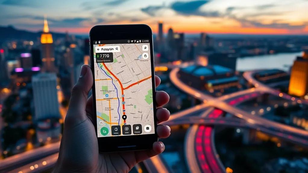
When you are planning a trip with several destinations, look beyond basic turn-by-turn directions. A useful route planning app should match the number of stops, vehicle, schedule, and type of journey you need to manage.
Important features can include:
- Multi-stop support: The app must accept every location in your planned route or provide a practical way to divide the route.
- Automatic stop sequencing: A true route optimizer can rearrange stops to reduce distance, driving time, or another chosen cost.
- Live traffic information: Current congestion, crashes, construction reports, and closures can affect the route after it has been planned.
- Time windows and service times: Business planners may account for appointments, delivery windows, breaks, and the time spent at each location.
- Vehicle settings: Commercial drivers may need routing based on height, weight, road class, tunnel, toll, or hazardous-material restrictions.
- Import and export: Spreadsheet import, saved routes, shared links, and navigation-app export can reduce manual entry.
- Offline access: Downloaded maps are useful when mobile coverage is unreliable.
- Clear address matching: The planner should show each pin so you can catch an incorrect street, duplicate place, or wrong city before leaving.
Route Planning, Optimization, and Navigation Are Different
Route planning creates a journey between chosen locations. Route optimization determines a more efficient order for several stops. Navigation provides turn-by-turn guidance while you travel.
Some tools perform all three functions, but many do not. For example, Google Maps lets you add and manually reorder several destinations, while RouteXL is designed to optimize the stop order. Waze is strongest as a live navigation tool that can show alternate routes and react to current driver reports.
Note: The route with the fewest miles is not always the fastest or most practical. Traffic, tolls, appointment windows, parking, service time, and vehicle restrictions can change which route is best.
Finding the Perfect Driving Route Planner: A Comprehensive Guide
Choose a planner according to your real use case rather than the number of features shown in an advertisement. A general navigation app may be enough for errands or a road trip. Delivery teams, sales representatives, and truck drivers usually need more control.
Choose the optimizer for planning and the navigation app for driving. One tool does not have to perform every part of the journey.
| App or Service | Best For | Current Capability | Main Limitation |
|---|---|---|---|
| Google Maps | Personal trips and familiar navigation | Supports up to nine stops, including the final destination, and lets you reorder them manually | Not intended for large address lists or advanced dispatching |
| Apple Maps | iPhone, Siri, Apple Watch, and CarPlay users | Allows up to 14 added stops along a driving route | Some features vary by country or region |
| RouteXL | Free optimization for a moderate number of stops | Free for routes with up to 20 stops under its fair-use policy | Paid access is needed for higher limits and heavier use |
| Waze | Traffic-aware navigation during the drive | Shows alternate routes and may suggest a route change while you travel | Not a bulk stop-order optimizer |
| Badger Maps | Field sales and service teams | Lists route optimization for up to 120 stops, CRM integration, saved routes, and field-work tools | Business-focused paid service |
| MyRouteOnline | Complex itineraries and large imported address lists | Supports 350, 500, or up to 1,000 addresses depending on the plan | Higher limits and advanced functions require paid plans |
| Trucker Path | Commercial trucks and truck-specific stops | Includes truck stops, weigh stations, parking, route settings, and commercial-vehicle information | Specialized features may depend on the plan, region, and available data |
Badger Maps states that its users report saving an average of eight hours per week between driving and planning. That is a vendor-reported average, not a guaranteed result for every team. Actual savings depend on route density, traffic, territory size, stop duration, and the quality of the imported data.
Top Strategies for Streamlining Multi-Stop Route Planning
A route optimizer can only work with the information you provide. Prepare the stops carefully before asking an app to arrange them.
- Clean the address list. Include street number, street name, city, postal code, and country when needed. Remove duplicates and confirm apartment, loading-dock, or entrance details.
- Choose the start and finish. Decide whether the trip should end at the starting point, a final appointment, a hotel, a warehouse, or another location.
- Add time requirements. Record opening hours, appointments, delivery windows, breaks, and the expected service time at each stop.
- Select the correct travel mode. Do not use ordinary car routing for a commercial truck, bicycle, walking trip, or vehicle with special restrictions.
- Optimize or reorder the stops. Use an optimizer for a large list. For a short route in Google Maps or Apple Maps, manually drag the stops into a sensible order.
- Review route preferences. Check toll, highway, ferry, unpaved-road, and other avoidance settings where the app supports them.
- Inspect the complete route. Zoom in on entrances, one-way roads, border crossings, parking areas, and any section that looks unusual.
- Save a backup. Share the itinerary, export it, take a screenshot, or keep the address list available outside the planner.
- Check live conditions before departure. Construction, crashes, weather, and closures can change after the original route was created.
Pro Tip: For a long route, optimize the complete stop order on a computer first. Then send or export smaller route sections to the navigation app you will use in the vehicle.
Warning: Do not type, reorder stops, or study the map while driving. Pull over safely or let a passenger operate the device. Posted signs, road controls, emergency instructions, and local laws always take priority over an app.
| Strategy | Tool or Method | Benefit |
|---|---|---|
| Address Validation | Review pins and full addresses | Reduces wrong-location and duplicate-stop errors |
| Route Optimization | RouteXL or another dedicated optimizer | Arranges stops according to the selected goal |
| CRM Integration | Badger Maps or a compatible business platform | Reduces repeated entry and connects visits with customer records |
| Visual Organization | Labels, lists, filters, or color-coding | Makes priorities and geographic clusters easier to review |
| Live Navigation | Waze, Google Maps, or Apple Maps | Accounts for current traffic information during the trip |
| Offline Backup | Downloaded maps and saved address list | Keeps essential route information available when service drops |
Why Real-Time Traffic Updates Matter
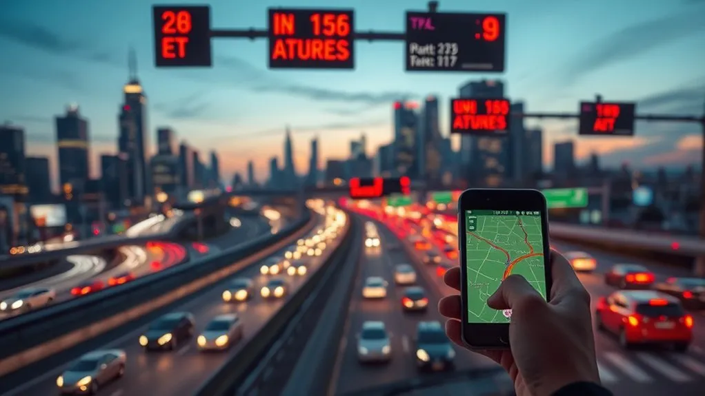
A route that looked efficient the night before may no longer be the best option at departure time. Traffic-aware navigation can respond to crashes, congestion, construction reports, blocked lanes, and other changing conditions.
Real-time information can help you:
- Compare alternate routes: Apps may show several choices with different estimated arrival times.
- Respond to incidents: Waze allows drivers to report traffic and other road conditions, which can contribute to current routing information.
- Update arrival estimates: A revised ETA helps you notify customers, hosts, or coworkers about a likely delay.
- Adjust a delivery day: Dispatchers can decide whether a delayed stop should be moved later in the schedule.
- Avoid unnecessary detours: Reviewing the full alternate route can prevent an automatic suggestion from sending you onto an unsuitable road.
No traffic system is perfectly current. Reports may be delayed, incomplete, or unavailable in places with few users. Review major changes before accepting them, especially when a detour approaches a border, restricted road, mountain pass, toll area, or low-clearance structure.
Prepare for Poor Mobile Service
Both Google Maps and Apple Maps provide offline-map functions in supported areas. Download the relevant region before leaving, confirm that the download is complete, and keep your phone charged.
Offline navigation may not include current traffic, newly reported closures, or every online feature. Keep the written destination addresses available so you can recover the route in another app or ask for local directions if necessary.
How User Reviews Can Help You Find the Best Routes
User reviews are most useful for deciding where to stop, not which road is legally or physically suitable. Platforms such as Tripadvisor and Wanderlog can help you compare attractions, restaurants, viewpoints, hotels, and other places along a journey.
Look for recent comments about:
- Parking availability and parking-lot entrances
- Opening hours and seasonal access
- Reservation requirements
- Typical visit duration
- Accessibility and walking distance
- Crowding at different times of day
- Whether the destination is worth the detour
Do not rely on an old review for a road closure, shortcut, legal restriction, or safe truck route. Confirm those details with the navigation app, the destination, a transport agency, or another current official source.
Common Route-Planning Problems and Fixes
The Pin Appears in the Wrong Place
Check the postal code, city, state or province, and country. Add the business name only after confirming the street address. For a large property, warehouse, park, airport, or hospital, search for the correct gate or entrance instead of relying on the main property pin.
The App Will Not Accept All Stops
You may have reached its stop limit. Divide the itinerary into logical sections, such as morning and afternoon routes, geographic zones, or separate days. A dedicated optimizer is usually easier when the list is too large for a consumer navigation app.
The Route Looks Longer Than Expected
Review the stop order, toll settings, ferry settings, road avoidances, travel mode, and final destination. A strict time window or vehicle restriction may force the planner to choose a longer route.
The App Keeps Changing the Route
Live congestion or a reported incident may be changing the estimated fastest path. Inspect the alternate route before accepting it. Stay on the original route when the suggested detour appears unsafe, restricted, or impractical.
The Route Is Unsuitable for a Truck
Stop using ordinary car navigation as the primary routing source. Enter the truck’s correct height, weight, length, load, and other relevant restrictions in a commercial-vehicle routing system. Verify critical restrictions and follow all posted signs.
The Phone Loses Power or Signal
Use a vehicle charger, download offline maps, save the ordered destination list, and share the itinerary with another device or traveler. A paper note containing essential addresses can also provide a simple emergency backup.
Frequently Asked Questions
What is a free app for finding the best route between multiple locations?
RouteXL is free for routes with up to 20 stops under its fair-use policy and can optimize their order. Google Maps and Apple Maps are also free choices for shorter personal routes, but their stop limits are lower and they are not designed as full business dispatch platforms.
Can ChatGPT optimize routes?
ChatGPT can help clean a destination list, group nearby stops, compare route-planning tools, calculate schedules, and organize constraints. ChatGPT Search can also retrieve timely web information when available. However, it should not replace a dedicated optimizer or live navigation app, and you should verify addresses, restrictions, calculations, and current road conditions.
How do I turn on preferred routes?
The setting depends on the app. Apple Maps may learn regularly traveled routes and show them as preferred routes where the feature is available. Google Maps provides route options such as avoiding tolls, highways, or ferries. Open the route options before starting navigation and review which preferences are active.
How do I access routes in a maps app?
Open the app, select Directions, enter the starting point and final destination, and choose the travel mode. Add other stops when supported, arrange them in the desired order, review the suggested routes, and start navigation only after confirming the destination and route settings.
Does Google Maps automatically optimize multiple stops?
Google Maps lets you add and manually reorder several destinations, but it is not a full bulk route-optimization or dispatch platform. For a long list, use a dedicated optimizer to arrange the stops and then transfer the planned route to your navigation app.
Should I always accept a faster route suggested by the app?
No. Review where the alternate route goes before accepting it. Avoid a suggested route when it conflicts with posted signs, local law, vehicle restrictions, weather warnings, official closures, or your own assessment of safe road conditions.
Sources
- Google Maps Help: Get Directions and Show Routes — multi-destination limits, route entry, and stop reordering
- Apple Support: Change or Add Stops to a Route — Apple Maps multi-stop instructions and current limit
- RouteXL Documentation: Upgrades — free-plan stop limit and higher-capacity options
- Waze Help: View Alternate Routes — alternate-route behavior before and during navigation
- Google Maps Help: Download Areas and Navigate Offline — offline-map preparation and limitations
- Apple Support: Download Offline Maps — offline navigation and regional availability
Conclusion
The best route-planning setup may use more than one tool. A dedicated optimizer can arrange a large stop list, while Google Maps, Apple Maps, or Waze can provide current navigation during the drive. Prepare complete addresses, include time and vehicle constraints, inspect the proposed route, and keep an offline backup. Most importantly, treat the app as a planning aid rather than a substitute for signs, official restrictions, local law, and safe judgment.
