
Last Updated on August 26, 2026 by Ethan Caldwell
Traveling from Federal Way to Port Townsend is usually easiest by car, with the normal road trip covering about 90 to 91 miles and taking roughly 1 hour 45 minutes to 2 hours in ordinary traffic. You can also build a scenic trip around a Puget Sound ferry, but there is no direct Bremerton-to-Port Townsend ferry. Public transit works too, although schedules and transfers make it considerably slower.
Quick Answer
Federal Way to Port Townsend is about 90 to 91 miles by road and normally takes around 1 hour 45 minutes to 2 hours by car. The simplest drive uses SR 16, SR 3, SR 104 across the Hood Canal Bridge, and SR 19/SR 20. Ferry-assisted and public-transit routes are available but usually take longer.
Key Takeaways
- Driving is normally fastest: plan on roughly 90 to 91 miles and about two hours before traffic or stops.
- No Bremerton–Port Townsend ferry exists. Ferry-assisted alternatives include Seattle–Bainbridge Island and Edmonds–Kingston, while Seattle–Kingston has a passenger-only Fast Ferry.
- Car-free travel requires connections. One useful combination is Federal Way to Seattle, Seattle to Kingston by passenger ferry, then Jefferson Transit Route 14 toward Port Townsend.
- Check the Hood Canal Bridge before leaving. Marine openings, traffic, incidents, and seasonal congestion can add time.
- Stay on-route for stops. Gig Harbor, Poulsbo, Port Gamble, and the Hood Canal area make more practical breaks than Alder Lake or Sequim.
Disclosure: As an Amazon Associate I earn from qualifying purchases. Some links on this page are affiliate links, at no extra cost to you.
How Far Is Federal Way to Port Townsend?
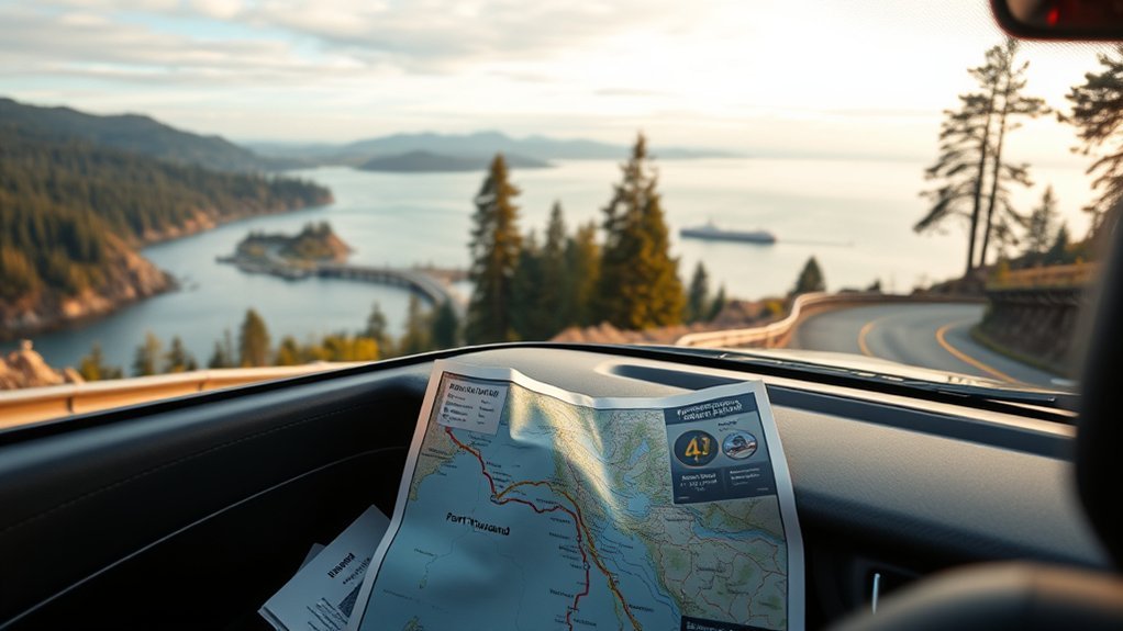
The driving distance from Federal Way to Port Townsend is approximately 90 to 91 miles, depending on your exact starting point and route. A typical no-ferry drive takes roughly 1 hour 45 minutes to 2 hours before heavy traffic, construction, bridge openings, or sightseeing stops.
The straight-line distance is much shorter at about 59 miles. Puget Sound, Hood Canal, and the shape of the Kitsap and Quimper peninsulas explain why the road journey is considerably longer.
Port Townsend sits on the northeastern edge of the Olympic Peninsula. Once you arrive, downtown’s historic waterfront, walkable commercial district, and Victorian-era architecture give the destination a noticeably different feel from the Federal Way–Tacoma corridor.
Best Driving Route to Port Townsend
For most drivers, the most practical route avoids ferries completely. From Federal Way, head south toward Tacoma, cross the Tacoma Narrows area on SR 16, continue north through the Kitsap Peninsula on SR 3, then take SR 104 across the Hood Canal Bridge. Near the west side of the bridge, continue toward SR 19 and then SR 20 into Port Townsend.
- Travel from Federal Way toward Tacoma.
- Use SR 16 across the Tacoma Narrows toward Gig Harbor.
- Continue toward the Kitsap Peninsula and connect with SR 3.
- Follow SR 104 across the Hood Canal Bridge.
- Continue toward SR 19 and SR 20 for the final approach to Port Townsend.
This route avoids the uncertainty of ferry queues and sailing schedules, making it the best choice when your priority is predictable travel time.
Warning: The Hood Canal Bridge is a movable bridge and may temporarily close to road traffic for marine openings. Traffic can also build near SR 104 during busy travel periods, so check current road and bridge conditions before you leave.
Pro Tip: If your navigation app suggests a ferry route, compare the full trip time rather than the mileage alone. Waiting, loading, unloading, and connecting roads can make a scenic ferry option slower than the all-road route.
Ferry Options: What Actually Works
There is no direct Washington State Ferries route between Bremerton and Port Townsend. Bremerton has ferry service to Seattle, while Port Townsend’s Washington State Ferries route runs north to Coupeville on Whidbey Island. Those are separate ferry corridors.
If you want to include a ferry in your Federal Way to Port Townsend trip, more practical choices include the Seattle–Bainbridge Island vehicle ferry or the Edmonds–Kingston vehicle ferry. After reaching the west side of Puget Sound, you continue north by road toward the Hood Canal Bridge and Port Townsend.
For travelers without a car, the Kingston Fast Ferry provides passenger-only service between downtown Seattle’s Pier 50 and Kingston. The crossing is approximately 40 minutes, after which Jefferson Transit Route 14 can connect Kingston with Haines Place Park & Ride in Port Townsend.
A Seattle–Bremerton ferry trip can technically be combined with a drive north from Bremerton, but it normally adds unnecessary ferry time for someone starting in Federal Way. Choose it for the experience rather than because it is the fastest route.
Note: Washington State Ferries vehicle reservations are not available on every route. Port Townsend–Coupeville is one of the routes where vehicle reservations are offered, but that ferry is mainly useful when traveling between Port Townsend and Whidbey Island, not when coming directly from Federal Way.
Bus and Transit Options
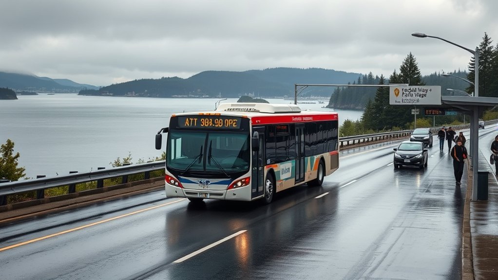
There is no single direct public bus from Federal Way to downtown Port Townsend. A car-free journey usually combines Sound Transit, a ferry or intercity coach, and Jefferson Transit. Because each operator follows its own timetable, total travel time can vary substantially by departure time and day of the week.
Transit Route via Seattle and Kingston
One of the more understandable car-free combinations is to travel from Federal Way Downtown Station into Seattle using Sound Transit, connect to downtown Seattle’s passenger-ferry terminal, take the Kingston Fast Ferry, and then use Jefferson Transit Route 14 from Kingston toward Port Townsend.
- Travel from Federal Way Downtown Station to central Seattle using an available Sound Transit connection.
- Make your way to the passenger-ferry terminal at Pier 50.
- Take the Kingston Fast Ferry from Seattle to Kingston when its schedule works for your trip.
- Connect at Kingston Ferry Terminal with Jefferson Transit Route 14.
- Ride Route 14 to Haines Place Park & Ride in Port Townsend.
- Use a local Jefferson Transit route, walk, taxi, or rideshare if your final destination is downtown or elsewhere in Port Townsend.
The Kingston Fast Ferry is passenger-only, so this option is designed for travelers without a vehicle. Its published service pattern is not identical every day, and seasonal Saturday service can differ from weekday service.
Dungeness Line Option
The Dungeness Line is another useful option for reaching the Olympic Peninsula. It connects Seattle and SeaTac with Port Townsend, Discovery Bay, Sequim, and Port Angeles. It does not originate at Federal Way Downtown Station, so you first need to reach one of its Seattle or airport-area stops.
The Port Townsend stop on the Dungeness Line is at Four Corners Park & Ride rather than the center of downtown Port Townsend. The operator currently requires certain flagged stops, including Port Townsend, to be reserved through its call center and not booked less than 24 hours before departure. Check the current schedule and booking rules before choosing this route.
Fare and Timing
Do not rely on the original $6 Sound Transit estimate. Current standard adult ST Express service uses a $3 flat fare. Jefferson Transit’s fixed-route service, including Route 14 Kingston Express, is currently zero-fare.
| Service | Typical Adult Fare / Detail |
| Sound Transit ST Express | $3 standard adult fare |
| Seattle → Kingston Fast Ferry | $13 adult westbound fare under the current published fare structure |
| Jefferson Transit Route 14 | Zero-fare fixed-route service |
| Dungeness Line | Fare varies by origin and destination; advance reservation rules apply to some stops |
Transit can take four hours or more once waiting and transfer time are included. Do not plan around a single fixed duration such as 4 hours 35 minutes without checking the exact services operating on your travel date.
Trip Time, Distance, and Cost
The basic road trip covers about 90 to 91 miles. Under ordinary conditions, allow approximately 1 hour 45 minutes to 2 hours of driving time. Heavy Tacoma-area traffic, weekend travel, construction, or a Hood Canal Bridge opening can push the trip beyond that range.
| Option | Typical Time | Best For | Cost Consideration |
| Direct drive | About 1h45–2h before delays | Speed and flexibility | Fuel based on your vehicle’s MPG and current gas price |
| Drive + vehicle ferry | Usually longer after wait/loading time | Scenery and ferry experience | Fuel plus vehicle/driver ferry fare |
| Sound Transit + Kingston Fast Ferry + JTA | Often 4+ hours depending on connections | Car-free travelers | Multiple agency fares; JTA fixed routes are zero-fare |
| Dungeness Line connection | Schedule-dependent | Travelers who prefer an intercity coach | Fare varies by boarding point |
For driving, the most reliable way to estimate fuel cost is to divide roughly 91 miles by your vehicle’s expected MPG and multiply the result by the current price per gallon. That is more useful than relying on a fixed $16–$24 estimate that can quickly become outdated.
The shortest-looking route is not always the fastest: ferry waits and Hood Canal Bridge openings can matter more than a few miles of road distance.
Best Stops Between Federal Way and Port Townsend
If you want to turn the roughly two-hour drive into a relaxed half-day road trip, choose stops that sit on or close to the normal Tacoma–Kitsap–Hood Canal corridor.
Gig Harbor
Gig Harbor is an easy early stop after crossing the Tacoma Narrows. The waterfront area works well for coffee, a meal, or a short walk without sending you far away from SR 16.
Poulsbo and the North Kitsap Area
Poulsbo is a practical break before the Hood Canal portion of the trip. It offers food, waterfront scenery, and fuel or supplies before you continue toward SR 104.
Port Gamble and Hood Canal
Port Gamble is a useful scenic stop near the northern Kitsap Peninsula. From there, the journey continues toward the Hood Canal Bridge, one of the most memorable pieces of infrastructure on the route.
Port Hadlock and Port Townsend
Port Hadlock is close to the final approach to Port Townsend. Once you reach your destination, the historic waterfront and Fort Worden Historical State Park are more rewarding sightseeing choices than taking a westbound detour toward Sequim.
Alder Lake Park is not a practical stop on this trip; it is far south of the direct Port Townsend route. Sequim is also not a one-minute roadside stop. It lies west of the Port Townsend approach and makes more sense as a separate Olympic Peninsula extension.
Which Route Works Best for You?
If your priority is speed and flexibility, drive the all-road route through Tacoma, the Kitsap Peninsula, and the Hood Canal Bridge. If the journey itself matters more than arrival time, a vehicle ferry through Bainbridge Island or Kingston can add Puget Sound scenery. If you do not have a car, combine regional transit with the Kingston Fast Ferry and Jefferson Transit, or connect to the Dungeness Line.
Fastest Travel Options
- Direct drive: normally the fastest and simplest option at roughly 90 to 91 miles.
- Drive with ferry: scenic but usually slower after terminal access and waiting time.
- Transit via Seattle and Kingston: practical without a car but highly dependent on connections.
- Dungeness Line: useful for Olympic Peninsula travel when its timetable fits your trip.
- Flight: not a practical option for this short regional journey.
Check traffic and transit schedules shortly before departure rather than relying on a fixed travel time. Sound Transit, ferry schedules, weather, and Hood Canal Bridge conditions can all change the best choice.
Best Route Stops
For a short break, Gig Harbor works well early in the drive. For a meal or waterfront stop farther north, Poulsbo is convenient. Port Gamble adds historic small-town character near the Hood Canal portion of the trip. At the destination, Port Townsend’s historic waterfront and Fort Worden Historical State Park give you enough to turn a simple drive into a full day trip.
Frequently Asked Questions
What Is the Nautical Distance Between Federal Way and Port Townsend?
The straight-line distance is approximately 59 statute miles, which is about 51 nautical miles. That is not a usable marine route measurement because Federal Way is inland and actual waterways do not follow a straight line.
How Do I Find the Distance Between Two Locations?
Use a current mapping or navigation service for driving distance and travel time. Straight-line calculators are useful for geographic comparison, but they do not account for highways, waterways, ferries, bridge openings, or traffic.
How Many Nautical Miles Is It From Seattle to Juneau, Alaska?
This question is not part of the Federal Way–Port Townsend route, but the straight-line air distance from the Seattle area to Juneau is roughly 790 nautical miles. A marine route through the Inside Passage is longer, so nautical mileage depends on whether you mean a great-circle measurement or an actual navigable route.
Which City Is Close to Federal Way?
Tacoma is one of the closest major cities to Federal Way and lies directly toward the beginning of the usual Port Townsend driving route. Kent and Auburn are also nearby communities, while Seattle is farther north.
Is There a Ferry From Bremerton to Port Townsend?
No. Washington State Ferries does not operate a Bremerton–Port Townsend route. Bremerton connects with Seattle, while Port Townsend’s state-ferry route connects with Coupeville on Whidbey Island.
Can You Drive From Federal Way to Port Townsend Without Taking a Ferry?
Yes. The normal road route crosses the Tacoma Narrows on SR 16 and the Hood Canal on SR 104, so no ferry is required. For most drivers, this is also the quickest and most predictable option.
Can I Reach Port Townsend From Federal Way Without a Car?
Yes, but expect multiple connections. One option is to travel from Federal Way to Seattle, take the passenger-only Kingston Fast Ferry, then connect with Jefferson Transit Route 14 toward Port Townsend. Another option is to reach a Seattle or SeaTac stop served by the Dungeness Line.
What Can Delay the Drive to Port Townsend?
Tacoma-area traffic, weekend congestion, road work, collisions, weather, and temporary Hood Canal Bridge openings for marine traffic can all increase travel time. Check current conditions shortly before departure.
Conclusion
For most travelers, the best way to get from Federal Way to Port Townsend is the approximately 90- to 91-mile all-road drive through Tacoma, the Kitsap Peninsula, and the Hood Canal Bridge. Allow roughly two hours in normal conditions and more during busy periods. A ferry can make the trip more scenic, but there is no Bremerton–Port Townsend ferry, so use Seattle–Bainbridge, Edmonds–Kingston, or the passenger-only Seattle–Kingston service only when those connections fit your plans. If you are traveling without a car, build extra time into your itinerary and verify each transit connection before leaving.
Sources
- Washington State Department of Transportation — Washington State Ferries — current ferry routes, schedules, reservations, and ferry-travel guidance.
- Washington State Department of Transportation — Hood Canal Bridge information — bridge operations, marine openings, and SR 104 travel conditions.
- Sound Transit — Federal Way Downtown Station service, Route 578 information, and current ST Express fares.
- Kitsap Transit — Kingston Fast Ferry crossing time, schedule, service days, and passenger fares.
- Jefferson Transit Authority — Route 14 Kingston Express schedule, Haines Place connection, and zero-fare fixed-route service.
- Dungeness Line — Seattle/SeaTac–Olympic Peninsula timetable, Port Townsend stop, and advance-booking requirements.
