

Last Updated on July 30, 2026 by Daniel Globe
Monterey makes an excellent base for short coastal drives, wildlife outings, historic towns, and full-day hikes. The easiest choices are Pacific Grove, 17-Mile Drive, Carmel-by-the-Sea, and Point Lobos. Moss Landing and San Juan Bautista need a little more driving, while Big Sur and Pinnacles deserve most of a day. Use this guide to compare travel time, costs, seasonal highlights, access limits, and practical safety notes before you leave.
Quick Answer
The best day trips from Monterey are Pacific Grove and 17-Mile Drive for easy scenery, Carmel for food and galleries, Point Lobos for coastal hiking, Elkhorn Slough for wildlife, San Juan Bautista for history, Big Sur for dramatic views, and Pinnacles for a full hiking day.
Key Takeaways
- For a half day: choose Pacific Grove, 17-Mile Drive, Carmel, or Point Lobos.
- For wildlife: paddle Elkhorn Slough, scan Point Lobos coves, or visit Pacific Grove during monarch season.
- For a full day: allow extra time for Big Sur road conditions or a strenuous Pinnacles hike.
- For fewer surprises: check official hours, fees, tides, trail notices, and Highway 1 conditions on the morning of your trip.
- For safety: stay back from cliffs and wildlife, carry layers and water, and download maps because cell service can be unreliable.
Disclosure: As an Amazon Associate I earn from qualifying purchases. Some links on this page are affiliate links, at no extra cost to you.
Choose the Best Day Trip From Monterey
Pick your destination by matching the outing to your available time and energy. The drive times below are practical estimates from central Monterey in normal traffic, not guarantees. Summer weekends, special events, fog, construction, and limited parking can add time.
| Day Trip | Typical One-Way Drive | Best For | Time to Allow |
|---|---|---|---|
| Pacific Grove and 17-Mile Drive | 10–20 minutes | Scenic driving, lighthouse, monarchs | 3–5 hours |
| Carmel-by-the-Sea | 15–20 minutes | Beach, galleries, dining | 3–6 hours |
| Point Lobos | 20–25 minutes | Coastal trails and wildlife | 3–5 hours |
| Moss Landing and Elkhorn Slough | 25–35 minutes | Kayaking and birding | 3–5 hours |
| San Juan Bautista | 40–50 minutes | Mission-era and town history | 3–5 hours |
| Big Sur and Andrew Molera | 45–60 minutes | Highway 1 scenery and longer walks | 6–10 hours |
| Pinnacles National Park | About 1¼–1½ hours | Hiking, geology, condors | 7–11 hours |
Pro Tip: Do not try to combine Big Sur and Pinnacles in one day. They require different routes, and each destination is better when you leave time for parking, short stops, and changing conditions.
Pacific Grove & 17-Mile Drive
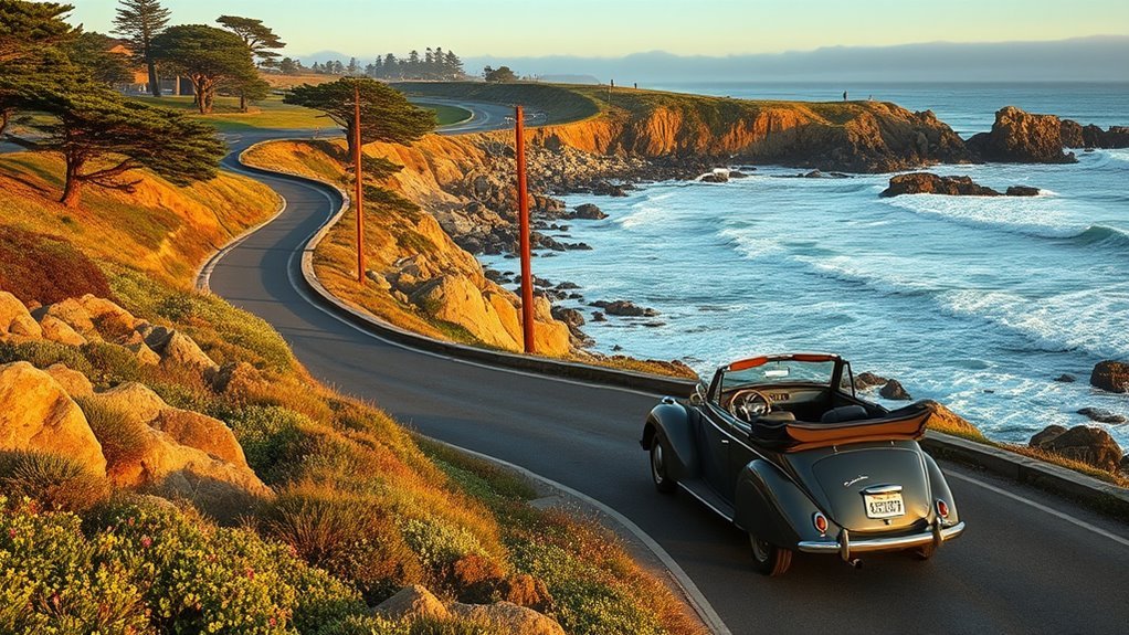
Pacific Grove is the easiest scenic escape from Monterey. Start with the rocky shoreline, Lovers Point, or the coastal trail, then continue toward historic Point Pinos Lighthouse. Lighthouse visiting hours are limited and can change, so check the city’s current schedule before building your day around an interior tour.
From Pacific Grove, enter 17-Mile Drive for ocean overlooks, cypress groves, beaches, golf-course views, and the Lone Cypress. As of July 2026, admission is $12.50 per vehicle, the gates are open from sunrise to sunset, and motorcycles are prohibited. The fee may be reimbursed with a qualifying purchase at participating Pebble Beach Resorts restaurants, but prices and policies can change.
If butterflies are your priority, visit the Pacific Grove Monarch Sanctuary from roughly mid-October through mid-February, with the strongest clustering often from November through January. Stay on paths, keep voices low, and never touch or chase butterflies. The sanctuary does not allow dogs.
- Best short route: Monterey waterfront → Lovers Point → Point Pinos → 17-Mile Drive → Carmel.
- Best photo stops: rocky shoreline pullouts, Bird Rock, Cypress Point Lookout, and the Lone Cypress.
- Best timing: early morning for easier parking; late afternoon for softer coastal light, provided you leave the drive before the gates close.
Carmel-by-the-Sea: Art, Food, and Coastal Charm
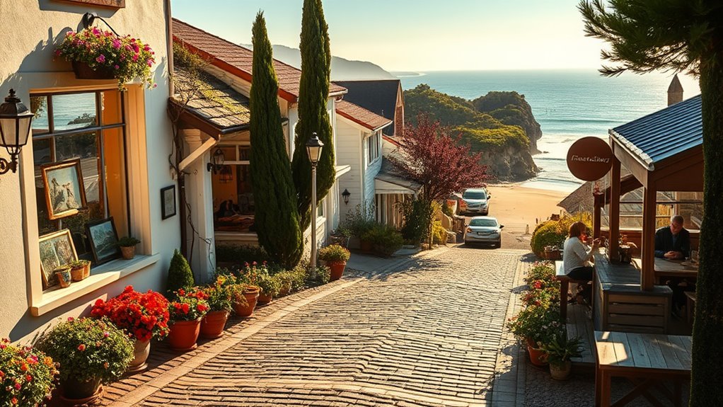
Carmel-by-the-Sea works well when you want a flexible day with little driving after arrival. Walk the compact village to see storybook cottages, hidden courtyards, independent shops, art galleries, tasting rooms, and restaurants. Then follow Ocean Avenue downhill to Carmel Beach for white sand and broad sunset views.
The village is known for independent dining rather than fast-food chains. Its address system is also changing: Carmel historically lacked conventional residential street numbers and still has no house-to-house mail delivery, but the city has been assigning addresses. Treat those details as living local history, not an absolute rule that every property remains unnumbered.
Art events, gallery walks, and festivals vary by date. Check the current events calendar instead of assuming a festival will happen during your visit. For a simple self-guided loop, walk Ocean Avenue, explore side passages between Dolores and San Carlos streets, stop for lunch, and finish at Carmel Beach.
Note: Carmel’s downtown sidewalks, slopes, curb cuts, and older buildings vary. Travelers using mobility devices should check specific restaurants, galleries, and beach access points before arrival.
Point Lobos State Natural Reserve: Trails and Wildlife
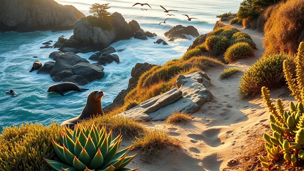
Point Lobos State Natural Reserve, three miles south of Carmel on Highway 1, is one of the strongest half-day trips from Monterey. Short trails connect rocky headlands, protected coves, cypress woods, tidepools, and viewpoints where you may see sea otters, harbor seals, sea lions, and migrating birds.
Good first-time choices include the paved Sea Lion Point loop, Cypress Grove Trail, Bird Island Trail, and the accessible Carmelo Meadow–Granite Point route. Wildlife sightings are never guaranteed, so carry binoculars and spend a few quiet minutes at each overlook rather than rushing between stops.
As of July 30, 2026, the day-use area is open from 8 a.m. to 7 p.m., with last entry at 6:30 p.m., and vehicle day use is $10. Dogs are not allowed. Parking inside the reserve is limited, and busy weekends can fill early. Scuba diving is managed separately and requires current reservations and compliance with reserve rules; casual visitors should not assume they can arrive and dive without planning.
Warning: Stay on marked trails and well back from cliff edges. Wet rock, loose soil, sneaker waves, and cold water can turn a scenic stop into an emergency.
Moss Landing & Elkhorn Slough: Kayaking With Wildlife
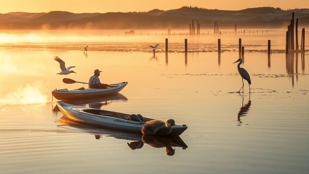
Moss Landing is the main launch area for paddling Elkhorn Slough. The sheltered estuary supports sea otters, harbor seals, sea lions, shorebirds, and other wildlife throughout the year. Conditions are often calmer than the open coast, but the slough is tidal and the harbor carries fishing boats and other traffic.
Kayak Rentals & Tours
Local outfitters offer hourly rentals and guided tours, but prices, age limits, launch times, and included equipment change. Reserve directly with a current operator rather than relying on old prices. A guided tour is the better choice for first-time paddlers, families, and visitors who want help reading tides, avoiding boat traffic, and identifying wildlife.
The Elkhorn Slough Foundation’s kayaking guidance recommends staying to the far right side of the channel or in shallow areas outside the main boating lane. Turn your kayak into the wake of larger boats. Kayaking is not permitted within the Elkhorn Slough Reserve’s land-based visitor area; common launch points include Moss Landing’s North Harbor and Kirby Park.
- Independent rental: best for experienced paddlers who understand tides and harbor traffic.
- Guided tour: best for local interpretation, wildlife etiquette, and first-time safety.
- Shore-based alternative: use the reserve’s trails or the paved half-mile trail at Kirby Park when paddling is not a good fit.
Wildlife Viewing Tips
Paddle slowly, minimize splashing, and give resting animals room to move away. Never surround wildlife, block an animal’s route to open water, or approach pups. Binoculars and a camera with zoom provide better views without adding stress.
- Check the tide, wind, and outfitter cancellation policy before leaving Monterey.
- Wear a properly fitted personal flotation device and clothing that can handle cold water.
- Keep clear of the harbor entrance and visible to larger vessels.
- Expect wildlife year-round; do not promise yourself that one season guarantees better sightings.
San Juan Bautista: Mission History and Small-Town Strolls
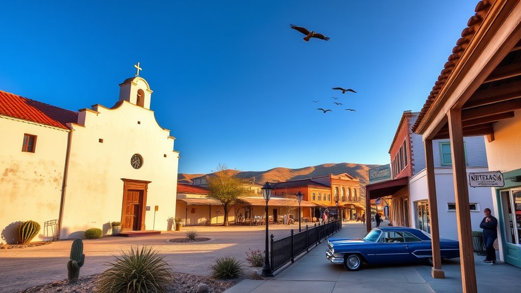
San Juan Bautista offers a quieter inland day focused on California history. The San Juan Bautista State Historic Park preserves the old plaza and Spanish, Mexican, and American-era buildings. It sits beside Mission San Juan Bautista, but the mission and state park are separate sites with separate operations and admission arrangements.
The mission was founded in 1797 using Native labor. A complete visit should address both the architecture and the effects of colonization on Indigenous communities, including the Amah Mutsun. Inside the state park, exhibits in the Plaza Hotel, Castro-Breen Adobe, stables, and other buildings help explain the town’s role as a crossroads.
As of July 30, 2026, the state park is open daily from 10 a.m. to 4:30 p.m., adult museum admission is $3, and dogs are not allowed. Guided walking tours may be available by advance reservation. Living-history demonstrations happen on selected dates, so verify the event calendar rather than expecting costumed interpretation every weekend.
- Connect: begin at the plaza and orient yourself to the mission, park museums, and surrounding streets.
- Learn: read exhibits that include Indigenous, Spanish, Mexican, and American perspectives.
- Wander: leave time for the compact downtown, lunch, and a slow walk around the historic district.
Big Sur & Andrew Molera State Park: Dramatic Coastlines
Highway 1 south of Monterey delivers the region’s most dramatic road-trip scenery. Bixby Creek Bridge is an early landmark, while Andrew Molera State Park offers meadows, bluff trails, redwood pockets, and access to a broad, undeveloped beach. This is a full-day trip once you include traffic, photo stops, hiking, and meals.
At Andrew Molera, the beach is reached on foot rather than by car. A seasonal footbridge crosses the Big Sur River; outside the bridge season, access may require a river crossing and can be prohibited when the water is high or fast. Some beach walking is safest only at low tide. Stay on marked park trails and do not cross into the neighboring private ranch.
Big Sur state parks generally open from 8 a.m. to sunset, and the standard day-use fee is $10 per vehicle. Dogs are not allowed on Andrew Molera trails, except for service animals; leashed pets are limited to the parking area. Before leaving, check Caltrans Highway 1 conditions and the park’s current trail alerts.
| Stop | Why Stop | Planning Note |
|---|---|---|
| Bixby Creek Bridge | Iconic bridge and coastal views | Use legal pullouts only; never stop in the traffic lane. |
| Andrew Molera Beach | Open shoreline and beach walking | Requires a walk and possible seasonal river crossing. |
| Bluff and meadow trails | Wildflowers, coastal scrub, and broad views | Carry layers and watch for poison oak. |
Warning: Do not rely on a saved travel article for Big Sur access. Landslides, fires, storms, and construction can change Highway 1 and trail conditions quickly.
Pinnacles National Park: Rock Formations and Hiking
Pinnacles National Park is the most demanding day trip in this guide. It trades ocean views for volcanic rock spires, chaparral, oak woodland, talus caves, and the chance to see California condors. Leave early, especially on weekends and spring holidays, because popular trailhead parking can fill before midmorning.
Choose your entrance before leaving Monterey. The west entrance near Soledad is the more direct choice for Prewett Point, Juniper Canyon, and the Balconies area. The east entrance serves Bear Gulch, Condor Gulch, the campground, and several High Peaks routes. There is no road through the park connecting the two entrances.
Rock Spire Formations
The Pinnacles rocks are remnants of a volcanic field that erupted about 23 million years ago near present-day Lancaster. Movement along the San Andreas Fault carried the Pinnacles portion roughly 195 miles northwest, and erosion helped shape the steep fins, monoliths, and canyons visible today.
The park’s talus caves formed where large boulders fell into narrow canyons and created passages beneath them. Cave routes can be dark, wet, narrow, or seasonally closed to protect bats and visitors. Check current cave status and carry a headlamp; a phone light is not a dependable substitute.
Best Hiking Trails
Pinnacles has more than 30 miles of trails, from short overlooks to steep loops. Match the route to heat, daylight, water supply, and your group’s fitness. The National Park Service trail guide advises carrying at least one liter of water per person for each hour of hiking because water is not available on the trails.
| Trail | Distance and Difficulty | Highlight |
|---|---|---|
| Prewett Point | 0.9 mile round trip; easy | Short west-side overlook with broad views |
| Balconies Cliffs–Cave Loop | 2.4 miles; easy to moderate | Rock walls and a talus-cave passage |
| Juniper Canyon Loop | 4.3 miles; strenuous | High Peaks scenery and steep climbing |
| Condor Gulch–High Peaks Loop | 5.3 miles; strenuous | Panoramas and possible condor sightings |
Wildlife and Wildflowers
Spring can bring wildflowers and high visitation; summer can be dangerously hot; fall often brings milder hiking weather. California condors may soar above the High Peaks, but they are wild animals and sightings are not guaranteed. Use binoculars, keep food secured, and never approach or feed wildlife.
As of July 2026, the private-vehicle entrance fee is $30 and is valid for seven days. The west gate is open from 7:30 a.m. to 8 p.m.; the east side provides 24-hour trail access, but overnight parking is restricted. Pets are not allowed on trails or in caves. Check current Pinnacles conditions for cave closures, fire restrictions, heat, and other alerts.
The best Monterey day trip is not always the farthest one. A nearby reserve with time to stop, walk, and watch wildlife often delivers more than a rushed checklist of distant landmarks.
Practical Planning and Safety
- Check conditions twice: once while planning and again on the morning of departure.
- Download maps: cell service can be weak or absent in Big Sur, Point Lobos, Elkhorn Slough, and Pinnacles.
- Carry layers: Monterey fog and coastal wind can feel cold even when inland temperatures are hot.
- Bring water and food: services are limited on trails and along parts of Highway 1.
- Respect protected areas: stay on trails, leave tidepool animals in place, and keep legal distances from wildlife.
- Confirm pet rules: Point Lobos and San Juan Bautista State Historic Park do not allow dogs; Andrew Molera and Pinnacles prohibit pets on trails.
- Use legal pullouts: never stop in a traffic lane or walk into Highway 1 for a photo.
Sample One-Day Itineraries From Monterey
Easy Coastal Day
Start at Lovers Point in Pacific Grove, continue to Point Pinos, drive 17-Mile Drive, eat lunch in Carmel, and finish with a short beach walk. This route minimizes backtracking and works well for visitors who prefer viewpoints over long hikes.
Wildlife-Focused Day
Book a morning kayak tour at Elkhorn Slough, have lunch in Moss Landing, then return toward Monterey for a late-afternoon shoreline walk. During monarch season, substitute or add the Pacific Grove sanctuary if time and daylight allow.
Active Hiking Day
Choose either Point Lobos for several short coastal trails or Pinnacles for one longer route. Do not treat them as equal commitments: Point Lobos fits a half day, while Pinnacles requires an early start, more water, and most of the day.
Frequently Asked Questions
How accessible are these trips for travelers with mobility issues?
Access varies by destination. Point Lobos has accessible parking, picnic areas, and several short accessible routes, including the paved Sea Lion Point loop. Pinnacles has the accessible Prewett Point Trail and some accessible facilities, while Andrew Molera’s beach requires a walk and may involve a seasonal river crossing. Historic buildings and older village storefronts may have uneven access, so check each site before leaving.
Are pets allowed at these destinations and on trails?
Rules are restrictive in protected areas. Point Lobos and San Juan Bautista State Historic Park do not allow dogs. Andrew Molera and Pinnacles prohibit pets on trails, though leashed pets may be allowed in limited developed areas. Carmel and Pacific Grove have some pet-friendly public spaces, but beach and sanctuary rules vary. Trained service animals are governed by separate accessibility rules.
What are the best months for whale watching near Monterey?
Wildlife is present year-round, but species vary. According to NOAA’s seasonal wildlife guide, gray whales migrate south in winter and return north in spring, with cow-calf pairs often near shore from March through May. Humpback whales commonly feed from March into November, and blue whales arrive offshore in summer. Sightings depend on food, weather, and sea conditions.
Are there guided tour options for families with kids?
Yes. Elkhorn Slough outfitters offer guided paddles, San Juan Bautista State Historic Park offers advance-reservation walking tours, and local operators run wildlife and sightseeing trips. Ask about minimum ages, life-jacket sizes, walking distance, restroom access, and cancellation rules before booking.
Which spots offer reliable cell phone reception?
Monterey, Pacific Grove, Carmel, Moss Landing, and San Juan Bautista usually provide the best chance of service, but coverage still varies by carrier and building. Do not expect reliable reception along remote Big Sur stretches, inside Point Lobos, on Elkhorn Slough, or in Pinnacles. Download maps, tickets, and emergency information before departure.
Which Monterey day trips require advance planning?
Reserve kayak tours in advance, arrive early for Point Lobos and Pinnacles parking, and check Highway 1 before Big Sur. Verify limited lighthouse hours, cave status, tides, and living-history events. Most town walks do not require reservations unless you want a specific restaurant or guided experience.
Can I combine two day trips in one day?
Yes, when the destinations share a route. Pacific Grove, 17-Mile Drive, and Carmel combine naturally. Carmel and Point Lobos also work well together. Avoid pairing Big Sur with Pinnacles, and do not add a long Pinnacles hike after a full coastal drive.
Conclusion
The strongest day trips from Monterey balance scenery with enough time to enjoy it. Stay close for Pacific Grove, Carmel, and Point Lobos; head north for Elkhorn Slough wildlife; go inland for San Juan Bautista history; or reserve a full day for Big Sur or Pinnacles. Check conditions, leave early, and choose one route that fits your pace instead of racing through several.
Sources
- Pebble Beach Resorts: 17-Mile Drive — admission, hours, route rules, and scenic stops.
- California State Parks: Point Lobos State Natural Reserve — hours, fees, pet rules, and access information.
- Elkhorn Slough Foundation: Kayaking — launch guidance, boating traffic, and paddling safety.
- California State Parks: San Juan Bautista State Historic Park — hours, admission, tours, and site history.
- California State Parks: Andrew Molera State Park — trails, river access, day use, and current notices.
- National Park Service: Pinnacles Current Conditions — cave status, closures, safety alerts, and trip planning.

