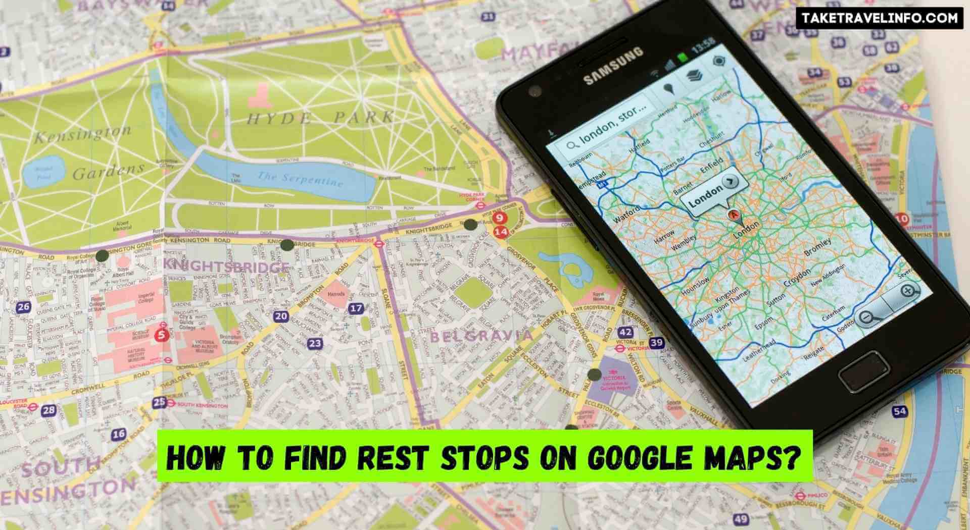
To find rest stops on Google Maps, open the app and enter your desired destination. Once you have reached the map page, type in “rest stop” or “rest area” in the search bar located at the top of the screen. If there are any nearby rest stops, they will be listed below your original search results.
Click on one of these listings to view more information about it such as its address and phone number. You can also zoom in and out of the map to view more details about a particular rest stop location or look for additional ones near your current location. Additionally, you can use filters like distance or ratings to refine your search results even further!
Can I See Rest Stops on Google Maps?

Yes, you can see rest stops on Google Maps. To find them, simply search for “rest stops” in the search bar and they will appear as red icons. If you zoom in close enough to a highway or interstate, you should be able to see which direction the rest stop is located.
You can also access information about each specific rest stop directly from Google Maps by clicking on its icon – this includes amenities such as bathrooms and food options available at that location. Additionally, if traveling internationally, Google Maps will show service areas along highways with restaurants and fuel stations in some countries like Germany and France.
How to Add Rest Areas to Google Maps?
Adding rest areas to Google Maps is a simple process that can make your travels easier. To add a rest area, open up the Google Maps app on your mobile device and select “Add a missing place” located at the bottom of the screen. Then enter all relevant information about the rest area including its name, address, and approximate location.
Once you have submitted this information it will be reviewed by Google’s team before being added to their map database. This ensures accuracy so travelers can quickly and easily find rest areas when they need them on their journey!
Google Maps – find your next rest stop
Conclusion
In conclusion, finding rest stops on Google Maps is a quick and easy way to ensure that your road trip is going as planned. As long as you have an internet connection or access to the app, you can easily locate nearby rest stops and plan ahead for those times when you need to take a break from driving.
With its user-friendly interface and detailed map views, Google Maps makes it simple to find the nearest rest stop wherever your journey may take you.
