
You might think Sonoma’s hikes are all gentle vineyard walks, but you’ll find steep ridgelines, redwood groves, and rugged coastal paths just minutes away. You can pick routes that match your fitness and time, from short strolls to full-day climbs with big views. I’ll point out the best trails, what to expect, and where to park, so you can plan a hike that fits your pace and still leaves you wanting more.
Jack London State Historic Park Trails

Jack London State Historic Park offers 29 miles of well-marked trails that let you explore both its rugged landscapes and literary history. You can start with the short, interpretive hike from the museum to the iconic Wolf House ruins—it’s a compact introduction to London’s life and the park’s atmosphere. If you want more challenge, choose the 8.6-mile summit route: expect 1,700 feet of climbing and wide Sonoma Valley vistas that reward steady effort. The Sonoma Ridge Trail stretches about 11 miles with comparable elevation gain and opens expansive views toward San Pablo Bay; it’s perfect when you want space and perspective. For a through hike, the 8.4-mile route to North Sonoma Mountain gains roughly 1,600 feet and you can arrange a shuttle to simplify logistics. Pack water, sturdy shoes, and a map, pace yourself on the climbs, and let each trail give you room to breathe, reflect, and reclaim freedom on your terms.
Sugarloaf Ridge State Park Adventures

Although the climbs are demanding, Sugarloaf Ridge State Park rewards you with 25 miles of trails that lead to everything from seasonal waterfalls and the scenic Brushy Peaks to the 2,729-foot Bald Mountain summit with 360-degree views of Sonoma and Napa Valleys. You’ll find routes that test your legs and free your mind: the Bald Mountain ascent gives sweeping panoramas; Gunsight Rock offers rugged exposure and dramatic vistas for experienced hikers; Brushy Peaks and the waterfall trail deliver quieter, restorative terrain. Bring layers, water, and sturdy boots — conditions shift quickly with elevation. Camp at the park to extend your escape, then stay after dark at the observatory to reclaim the night sky. If you want a longer journey, link trails into Hood Mountain Regional Park and broaden your route. Sugarloaf rewards purposeful effort: choose a loop that matches your fitness, respect trail signage, and let the park’s wild openness dissolve everyday constraints.
Products Worth Considering

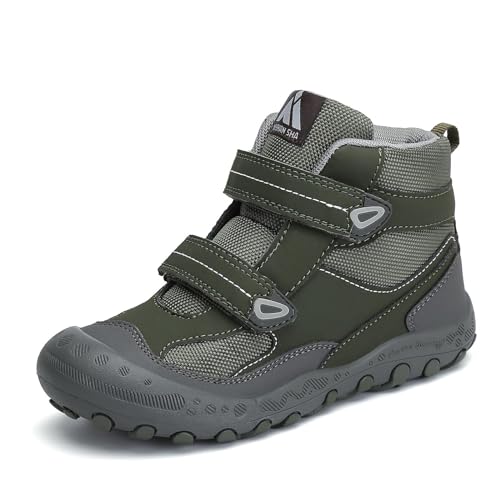
TOTAL WATERPROOF PROTECTION: These hiking boots feature a sealed waterproof membrane that locks out rain, slush, and mud. Your feet stay dry and comfortable during all-day outdoor adventures, from forest trekking to wet camping mornings


TOTAL WATERPROOF PROTECTION: These hiking boots feature a sealed waterproof membrane that locks out rain, slush, and mud. Your feet stay dry and comfortable during all-day outdoor adventures, from forest trekking to wet camping mornings
Armstrong Redwoods and Grove Walks

After the open ridgelines and panoramic summits of Sugarloaf, head west for a very different kind of forested calm at Armstrong Redwoods State Park, where towering coast redwoods frame gentle groves and a range of trail lengths. You can choose a rigorous 9.5-mile route with 1,700 feet of gain and 11 creek crossings for a true back-to-nature challenge, or a 5-mile option with 1,100 feet of gain that opens to sweeping views of the Austin Creek Wilderness. The East Ridge Trail stretches about 6 miles with 1,100 feet of climb, threading through diverse redwood stands and varied terrain. If you want a quick reset, take the 1.5-mile Discovery Trail to soak in cathedral trunks and dappled light — it’s close to local ice cream and wine, so you can celebrate afterward. Armstrong is a welcoming first stop in Sonoma County; it frees you from city noise and reminds you how simple, powerful restoration on the trail can be.
Sonoma Coast and Kortum Trail Highlights

When you trade redwood shade for salty spray, the Sonoma Coast and Kortum Trail deliver wide Pacific panoramas, seabird activity, and easy-to-moderate hiking that rewards every step. You’ll tackle a roughly 4-mile out-and-back near Jenner that showcases Goat Rock and dramatic coastline views, with climbs that earn every vista. Plan just under two hours, move deliberately, and soak in spring wildflowers when they appear. Note dogs aren’t allowed, so the trail stays serene and focused. If you want more challenge, link to nearby Pomo Canyon’s 6-mile loop for steep inclines and sweeping Russian River watershed panoramas.
- Trail length: ~4 miles out-and-back
- Typical time: just under 2 hours
- Difficulty: moderate with rewarding climbs
- Best season: year-round; peak wildflowers in spring
- Restrictions: no dogs (quieter experience)
You’ll leave feeling freer, tuned to wind and waves, with clear options to extend or savor the coast without crowd noise.
Bodega Head and Coastal Vistas

If you want a short hike with big rewards, Bodega Head’s 1.7-mile loop delivers sweeping ocean views and whale-watching opportunities in about 40 minutes. You’ll move along exposed coastal bluffs where wind and sea air clear your head and expand your perspective. From January to May keep your eyes on the water for migrating gray whales breaching or spouting — a live reminder that you’re part of something vast. For a longer outing, the Kortum Trail runs toward Shell Beach and Blind Beach, offering four miles of varied terrain and excellent birding; it’s a moderate challenge that keeps you engaged without overwhelming. Nearby coastal options thread through redwoods and fern groves — Pomo Canyon’s climbs reward you with cool shade and unique coastal forest feels, and some routes welcome dogs if you’re sharing the liberation. Pack layers, bring binoculars, respect tides and cliffs, and move at a pace that frees you.
Taylor Mountain Regional Park Routes
You’ll find a compact network of trails across Taylor Mountain Regional Park totaling about 5.5 miles, from easy loops on grassy hillsides to the steeper Ridge Trail that climbs toward 1,700 feet. Expect oak woodlands, panoramic Sonoma County views, and mostly moderate to strenuous terrain that rewards fitness with wide vistas. Start at accessible trailheads, plan for elevation gain, and pick routes that match your experience and time.
Trail Options Overview
Taylor Mountain Regional Park offers 5.5 miles of interconnected trails across 1,100 acres of grassy hillsides and oak woodlands, so you can pick routes that match your fitness and time. You’ll find options that free you from routine and put you into wide views, with trails ranging from moderate to strenuous and some accessible segments for varied abilities. The Ridge Trail rewards steady effort with panoramic Sonoma Valley vistas. Use the network to build loops, chase sunrise or escape into oak-shaded corridors.
- Ridge Trail: sweeping views, ideal for clarity and perspective
- Loop connectors: combine segments for short or long outings
- Oak woodland paths: cooler, restorative stretches
- Grassy ridgelines: open exposure, great for seeing far
- Accessible segments: inclusive access for different abilities
Difficulty and Tips
Most hikers find Taylor Mountain’s 5.5 miles of trails range from moderately challenging to strenuous, so plan routes that match your fitness and footing. You’ll cross grasslands and oak woodlands across 1,100 acres, with the Ridge Trail rewarding effort with panoramic Sonoma Valley views. Expect elevation changes and uneven terrain; some stretches demand steady balance and good cardio. Check trail conditions year-round—after rain, paths get muddy and slippery. Wear supportive boots, carry water, and bring layered clothing so you can adapt to sun or wind. Move at your own pace, rest on ridge viewpoints, and leave no trace. These practical choices free you to explore confidently and return safely to the valley below.
Hood Mountain and Challenging Climbs
Because Hood Mountain Regional Park rises sharply from the valley floor, you’ll encounter steep, rugged climbs that reward effort with sweeping panoramas and a real sense of remoteness. You’ll tackle sections with more than 1,000 feet of gain, so bring stamina, steady footing, and a plan for water and pacing. The Ridge Trail is a highlight: it opens to wide views and links into a greater network of demanding routes if you want to push farther.
- Expect sustained ascents and rocky surfaces that test endurance.
- Plan routes across 19 miles of trails; pick segments that match your fitness.
- Time visits in spring to enjoy seasonal wildflowers and richer ecosystems.
- Carry navigation tools—trails connect to other challenging areas and can feel remote.
- Respect your limits; rest, refuel, and turn back if conditions change.
You’ll leave Hood Mountain having earned those vistas and a clear reminder of your capability and freedom on the trail.
Products Worth Considering
ANTI-COLLISION: Full-cover toe cap designed for prevent kid's toes from the injury of falling objects and collision of hard objects.
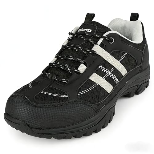
𝐔𝐥𝐭𝐫𝐚-𝐋𝐢𝐠𝐡𝐭𝐰𝐞𝐢𝐠𝐡𝐭 𝐇𝐢𝐤𝐢𝐧𝐠 𝐒𝐡𝐨𝐞𝐬: Engineered with advanced lightweight materials, Knixmax women's hiking shoe weighs only 10.9 oz each (size EU 37). Great for effortless hiking, trekking, and long-distance walking with less fatigue.

OMNI-TECH: For prolonged exposure to moderate rain and snow. Multilayered, waterproof, seam-sealed construction that allows the inside to breathe, keeping feet dry and comfortable no matter the conditions.
Easy Strolls: Parks for Casual Hikers
After pushing up Hood Mountain’s steep ridges you might want a gentler way to enjoy Sonoma’s outdoors, and the region delivers with parks made for easy strolls and family outings. You can pick paved loops at Sonoma Valley Regional Park — a 1.2-mile paved path plus unpaved options — for stroller-friendly, low-effort outings. Spring Lake Regional Park gives you nearly 10 miles of trails with paved routes circling the lake, so you’ll choose distance and still feel supported.
Crane Creek Regional Park offers 3.5 miles of trails and an 18-hole disc golf course; it’s ideal when you want light exercise and playful freedom. Riverfront Regional Park’s 2-mile Lake Trail around Lake Benoist serves calm waterside walking and birdwatching. For coastal air, Gualala Point Regional Park has gentle trails under 3 miles for easy exploration and quiet vistas. Each park lets you set the pace, breathe deeper, and reclaim time outdoors without the pressure of steep climbs.
Products Worth Considering

Built for Outdoor Adventures: Made from high-quality water-resistant, durable, and tear-resistant materials. Featuring a unique reflective hiking pattern and a chest strap with a whistle. Breathable mesh padding and straps reduce sweat, offering an enhanced experience for outdoor enthusiasts.
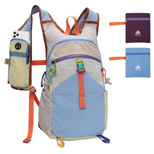
Unique Strap Design: The small hiking backpack features an innovative strap design, with a zippered phone pocket on the left (fits phones up to 7 inches) and a drawstring pocket on the right for quick access to essentials like keys, cards, or snacks. Save yourself the hassle of taking off your backpack while hiking. Whether you're hiking, biking or traveling, these smart pockets keep your valuables safe and within reach.

LIGHTWEIGHT SMALL BACKPACK: This lightweight travel backpack weighs only 0.73 pounds but has a capacity of 10 liters, allows you to pack some essentials with you. Dimensions: 15.5 x 9 x 3.5 inches.
Hike and Wine: Trails Near Wineries
When you pair a morning hike with an afternoon tasting, Sonoma’s vineyards become both workout and reward: trails at Kunde and Benziger wind through working vines with panoramic valley views and hands-on experiences like Benziger’s biodynamic tram tour and cave visits. You’ll move through rows of grapes, breathe open air, and finish at a tasting room where the landscape you just walked informs every sip. Practical tips: wear layered clothing, bring water, and book tours or tastings in advance to keep your day flowing.
- Kunde Winery: hike through estate trails, then taste wines that reflect the slopes you climbed.
- Benziger Winery: join the biodynamic tram, hike vineyard paths, and explore cool caves.
- Bartholomew Park: a 3-mile trail that ends at a museum with tasting options.
- Pairing strategy: morning hike, midday picnic, afternoon tasting.
- Views & vini: most wineries let you sample while soaking in vineyard panoramas.
These outings free you from routine and connect walking, place, and flavor.
Frequently Asked Questions
Are Dogs Allowed on These Trails and Are There Leash Rules?
Yes — dogs are allowed on many trails, but you’ll need to keep them leashed in most areas; some parks permit voice control in limited zones. Always check specific trail rules, carry waste bags, and respect wildlife.
What Are Best Safety Tips for Hiking in Sonoma’s Heat?
Like a shield against the sun, you’ll hydrate constantly, wear breathable sun protection, hike early or late, rest in shade, monitor heat signs, carry extra water and electrolyte tabs, tell someone your route, and avoid peak midday.
Where Are the Nearest Public Restrooms for These Trailheads?
You’ll find public restrooms at Sonoma’s spring-trained trailheads: Sonoma Overlook (park lot), Jack London State Historic Park (visitor center), Sugarloaf Ridge (main picnic area), and Annadel (Big Rock parking); carry sanitizer and cash for park fees.
Are Any Trails Wheelchair or Stroller Accessible?
Like a welcome breeze, yes — some trails are stroller- and wheelchair-accessible: select park loops and paved vineyard paths offer gentle grades, firm surfaces, and accessible parking/restrooms, so you can freely explore with dignity and minimal barriers.
What Permits or Parking Fees Should Hikers Expect?
You’ll usually pay small parking fees at regional parks, state parks may charge per vehicle or day-use, and some preserves require free or low-cost permits or reservations; check specific sites online so you won’t face surprises.
Conclusion
You’ve got to try these trails — they’ll make your legs sing and your camera explode with scenery. From steep, lung-burning climbs at Hood Mountain to gentle, postcard-perfect strolls through Armstrong Redwoods, there’s a path that fits your mood (and your wine plans). Pack water, layers, and comfy shoes; expect sudden fog, epic vistas, and maybe a deer photobomb. Hike smart, savor the views, then reward yourself with a winery stop — you’ve earned it.